Dukes Green

Settlement in Sussex Wealden

England

Dukes Green

Buildings at the Long Man Brewery The brewery has expanded its operation to this east side of the lane more recently. In addition to these buildings there is a shop and a cafe nearby. This is a cross-grid shot. The camera was in TQ5202.
Buildings at the Long Man Brewery Credit: Ian Cunliffe

Dukes Green is a small village located in the county of Sussex, England. Situated in the heart of the beautiful Sussex countryside, it is known for its picturesque landscapes and tranquil atmosphere. The village is located approximately 5 miles southeast of the historic town of East Grinstead.

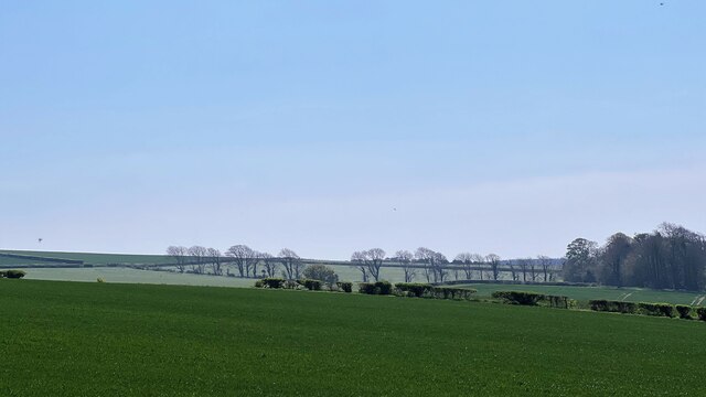
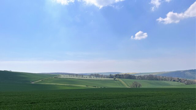
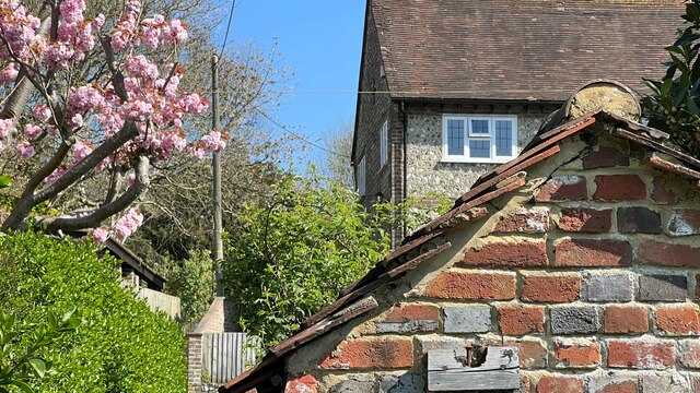
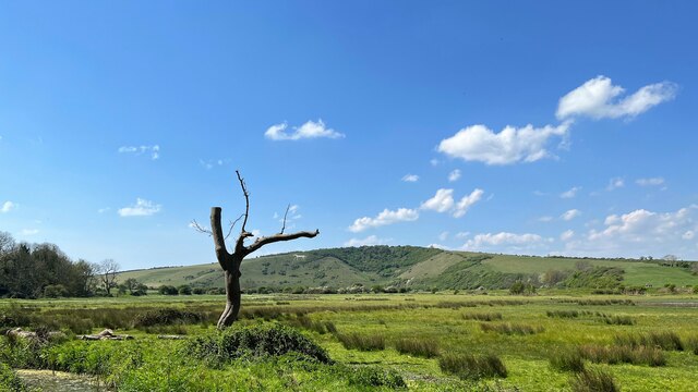
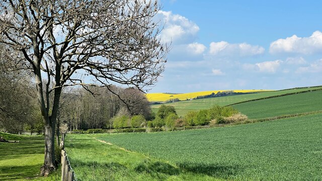
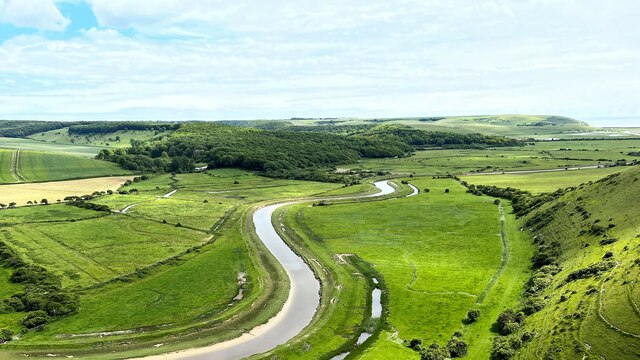
Dukes Green is a typical English village, characterized by its charming thatched cottages and traditional architecture. The village is surrounded by rolling hills, lush meadows, and dense woodlands, offering residents and visitors alike ample opportunities for outdoor activities such as hiking, cycling, and horse riding. It is also home to a number of well-maintained public footpaths, allowing visitors to explore the surrounding natural beauty.

Despite its small size, Dukes Green boasts a strong sense of community. The local village hall serves as a hub for various social events, including community gatherings, fairs, and fundraisers. The village also has a quaint church, adding to its traditional and historical charm.

While Dukes Green is primarily a residential area, it benefits from its proximity to nearby towns where residents can access amenities such as shops, supermarkets, and schools. The village is well-connected to transportation networks, with regular bus services and good road links to surrounding towns and cities.

In summary, Dukes Green in Sussex is an idyllic village that offers a peaceful and picturesque lifestyle. Its natural beauty, sense of community, and convenient location make it a desirable place to live or visit for those seeking a serene countryside experience.

If you have any feedback on the listing, please let us know in the comments section below.
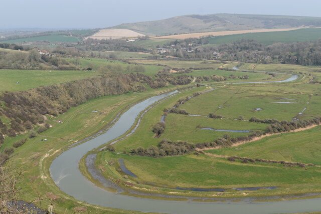
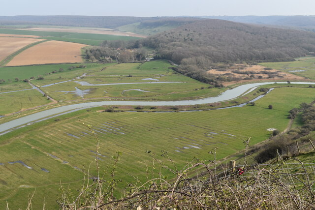
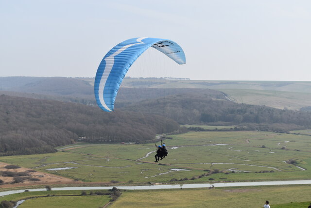
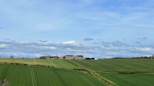
Dukes Green Images

Images are sourced within 2km of 50.798424/0.15270978 or Grid Reference TQ5102. Thanks to Geograph Open Source API. All images are credited.

Buildings at the Long Man Brewery The brewery has expanded its operation to this east side of the lane more recently. In addition to these buildings there is a shop and a cafe nearby. This is a cross-grid shot. The camera was in TQ5202.
Buildings at the Long Man Brewery
The brewery has expanded its operation to this east side of the lane more recently. In addition to these buildings there is a shop and a cafe nearby. This is a cross-grid shot. The camera was in TQ5202.
Stack of plastic trays near the Long Man Brewery I assume these have something to do with the brewery. They were nearby anyway.
Stack of plastic trays near the Long Man Brewery
I assume these have something to do with the brewery. They were nearby anyway.
Comp Lane Comp Lane at the turning for the footpath across the fields to Berwick village.  Comp Lane formerly was the main road between Lewes and Alfriston, later eclipsed by the turnpike (now the A27). In the distance can be seen Comp Barn.
Comp Lane
Comp Lane at the turning for the footpath across the fields to Berwick village. Comp Lane formerly was the main road between Lewes and Alfriston, later eclipsed by the turnpike (now the A27). In the distance can be seen Comp Barn.
Lichen on the branch of a tree The jet-black background looks odd, but it is simply an area of dark shadow on another branch behind the lichen. The photograph was taken in full sunlight.
Lichen on the branch of a tree
The jet-black background looks odd, but it is simply an area of dark shadow on another branch behind the lichen. The photograph was taken in full sunlight.
Gin on display at the Long Man Brewery shop
View northwest from High and Over lay-by Taken from the summit of Alfriston Road. The distant buildings are at Rachfinny Farm.
View northwest from High and Over lay-by
Taken from the summit of Alfriston Road. The distant buildings are at Rachfinny Farm.
Summit of Alfriston Road The road begins its steep descent of the South Downs towards Alfriston.
Summit of Alfriston Road
The road begins its steep descent of the South Downs towards Alfriston.
Cuckmere Valley from High and Over viewpoint
Paraglider at High and Over A popular spot for paragliding, with at least a dozen in the air when this photo was taken.
Paraglider at High and Over
A popular spot for paragliding, with at least a dozen in the air when this photo was taken.
View NNE towards Clapham Barn
View south over fields east of Litlington The camera was on the bridleway, about 80 m north of the grid boundary. The photo probably doesn't include anything within 80 m of the camera, so I have made this a cross-grid shot, with the hedge in the middle distance as the subject.
View south over fields east of Litlington
The camera was on the bridleway, about 80 m north of the grid boundary. The photo probably doesn't include anything within 80 m of the camera, so I have made this a cross-grid shot, with the hedge in the middle distance as the subject.
View SW over The Coombe The distant trees are in the vicinity of Clapham House.
View SW over The Coombe
The distant trees are in the vicinity of Clapham House.
View along the path between the Cuckmere River and Litlington This path is the South Downs Way. At this point it is a narrow alleyway (or "twitten") between gardens.
View along the path between the Cuckmere River and Litlington
This path is the South Downs Way. At this point it is a narrow alleyway (or "twitten") between gardens.
View across the Cuckmere Valley towards High and Over You can see the Litlington White Horse on the hillside on the other side of the valley.
View across the Cuckmere Valley towards High and Over
You can see the Litlington White Horse on the hillside on the other side of the valley.
View NW from the Charleston Bottom bridleway "Charleston Bottom" is the name given to the upper part of this valley - behind the camera.
View NW from the Charleston Bottom bridleway
"Charleston Bottom" is the name given to the upper part of this valley - behind the camera.
Henbane - Hyoscyamus niger This is only the second time I've seen this plant. The first was on Lullington Heath - a couple of miles from here. According to the Sussex Plant Atlas, it is occasionally found on the chalk - on disturbed ground not far from the sea. That would tie in with both my sightings. Henbane is in the nightshade family, and is poisonous in large quantities.
Henbane - Hyoscyamus niger
This is only the second time I've seen this plant. The first was on Lullington Heath - a couple of miles from here. According to the Sussex Plant Atlas, it is occasionally found on the chalk - on disturbed ground not far from the sea. That would tie in with both my sightings. Henbane is in the nightshade family, and is poisonous in large quantities.
Cuckmere River from High and Over You can see the sea at Cuckmere Haven on the far right of the photo. Straight ahead - beyond the river - is Friston Forest.
Cuckmere River from High and Over
You can see the sea at Cuckmere Haven on the far right of the photo. Straight ahead - beyond the river - is Friston Forest.
Show me another place!

Dukes Green is located at Grid Ref: TQ5102 (Lat: 50.798424, Lng: 0.15270978)

Administrative County: East Sussex

District: Wealden

Police Authority: Sussex

What 3 Words

///collected.furniture.reply. Near Seaford, East Sussex

Nearby Locations

Dukes Green

Related Wikis

Cuckmere Valley

Cuckmere Valley is a civil parish in the Wealden District of East Sussex, England. As its name suggests, the parish consists of a number of small settlements...

Alfriston Windmill

Alfriston Windmill is a tower mill at Alfriston, Sussex, England which has been converted to residential accommodation. == History == Alfriston Windmill...

Litlington, East Sussex

Litlington is a village and former civil parish, now in the parish of Cuckmere Valley, in the Wealden district, in the county of East Sussex, England....

Dean's Place Hotel

Dean's Place in Alfriston, East Sussex is a building of historical significance and is listed on the English Heritage Register. It was built in the 17th...

Nearby Amenities

Located within 500m of 50.798424,0.15270978
Bus Stop
Bus: yes
Public Transport: platform
Lat/Long: 50.7966889/0.1517501
Barrier: kissing_gate
Lat/Long: 50.8000292/0.1540778
Barrier: kissing_gate
Lat/Long: 50.7991276/0.1564581
Barrier: kissing_gate
Foot: yes
Lat/Long: 50.799947/0.1542197
Bench
Check Date: 2021-07-29
Lat/Long: 50.7954834/0.1578036
Barrier: kissing_gate
Lat/Long: 50.7965466/0.1585085
Bench
Lat/Long: 50.7965493/0.1585547
Bench
Lat/Long: 50.7999384/0.1542803
Fixme: continue
Lat/Long: 50.7953612/0.1577889
Information: guidepost
Tourism: information
Lat/Long: 50.7955601/0.1577965
Bench
Lat/Long: 50.7955205/0.1577867
The data included in this document is from www.openstreetmap.org. The data is made available under ODbL.

Have you been to Dukes Green?

Leave your review of Dukes Green below (or comments, questions and feedback).