Dorrachan
Settlement in Ross-shire
Scotland
Dorrachan
Dorrachan is a small village located in the county of Ross-shire, Scotland. Situated on the picturesque west coast of the Scottish Highlands, it is nestled between the towns of Ullapool and Gairloch. With a population of approximately 300 residents, Dorrachan offers a peaceful and close-knit community.
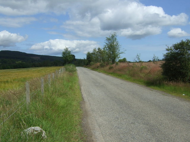
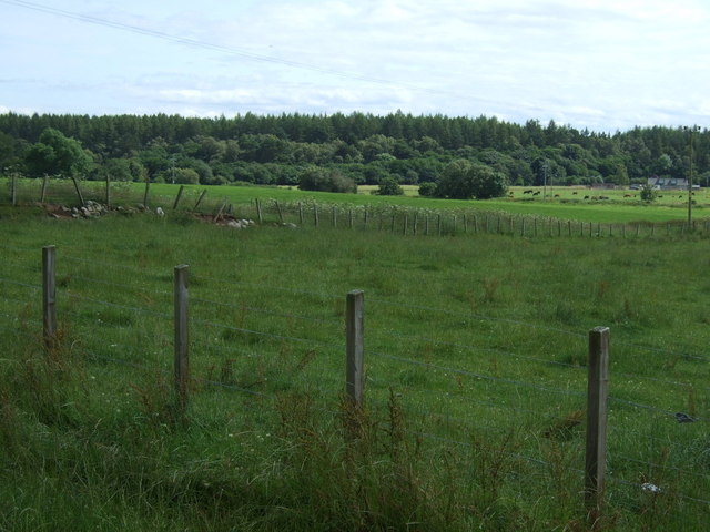
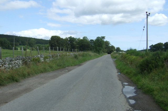
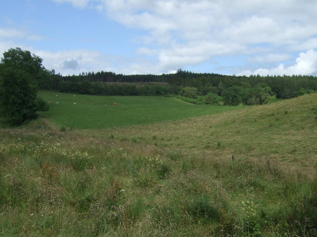
The village is known for its stunning natural beauty, surrounded by rolling hills, verdant valleys, and breathtaking views of the nearby Loch Broom. Dorrachan is a haven for outdoor enthusiasts, with plenty of opportunities for hiking, fishing, and birdwatching in the surrounding countryside. The nearby Inverewe Garden, renowned for its exotic plant species, is a popular attraction for visitors.
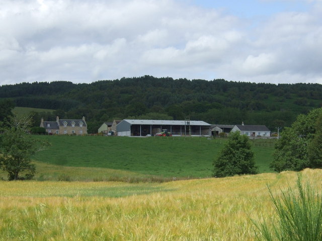
Despite its remote location, Dorrachan boasts a few essential amenities. The village has a small convenience store, providing locals with basic groceries and necessities. Additionally, there is a cozy pub where residents can gather for a pint and some friendly conversation. The village also has a primary school, ensuring that families have access to education for their children.
Dorrachan's economy largely relies on tourism, with visitors flocking to the area to experience the tranquility and natural wonders it offers. The village is also home to a few small businesses, such as local craftspeople and artisans who showcase their work in nearby galleries.
Overall, Dorrachan is a hidden gem in the Scottish Highlands, providing a retreat from the hustle and bustle of city life and offering a peaceful haven for those seeking solace in nature.
If you have any feedback on the listing, please let us know in the comments section below.
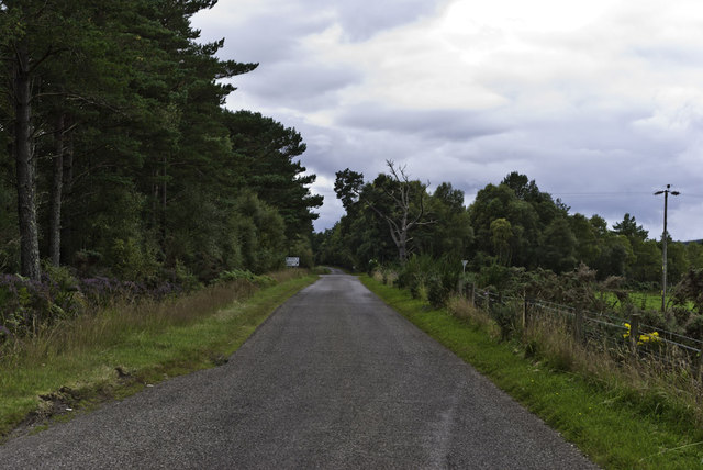
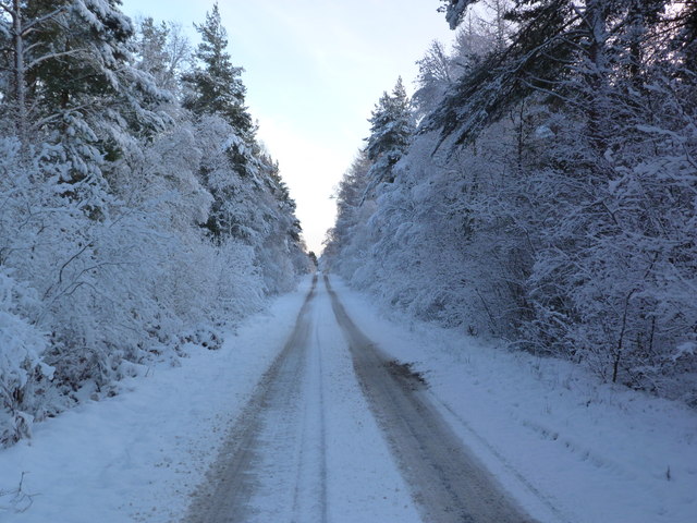
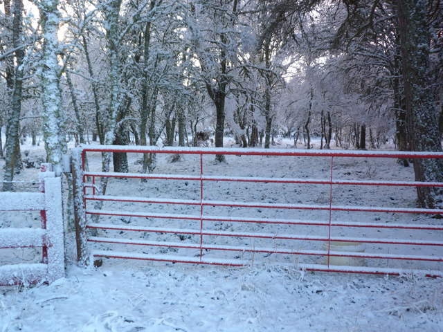
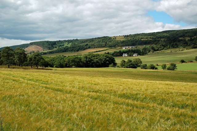
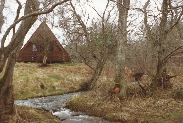
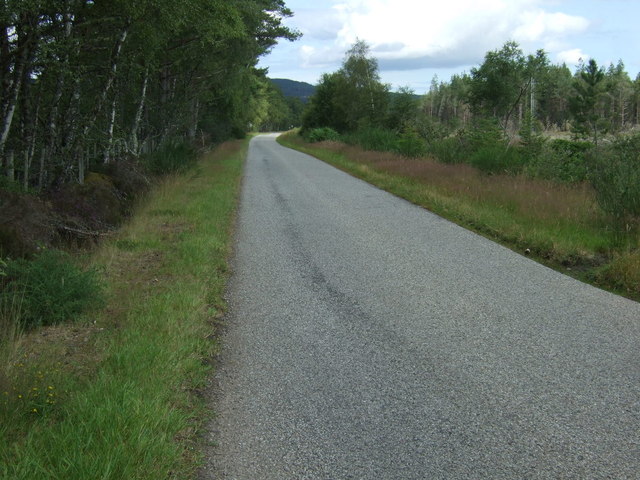
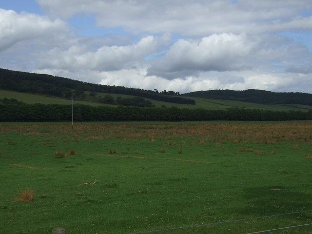
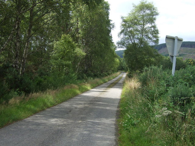
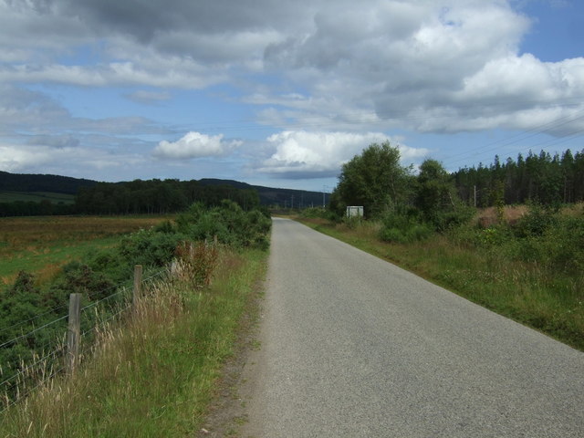
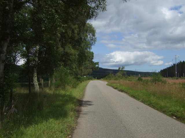
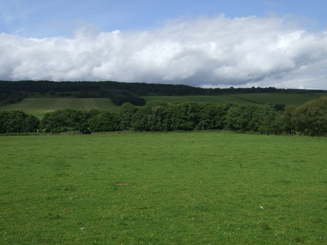
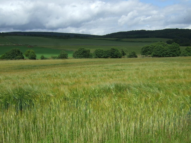
Dorrachan Images
Images are sourced within 2km of 57.743082/-4.1541938 or Grid Reference NH7174. Thanks to Geograph Open Source API. All images are credited.

Dorrachan is located at Grid Ref: NH7174 (Lat: 57.743082, Lng: -4.1541938)
Unitary Authority: Highland
Police Authority: Highlands and Islands
What 3 Words
///commit.renting.pancake. Near Invergordon, Highland
Nearby Locations
Related Wikis
Delny
Delny (Scottish Gaelic: Deilgnidh) is a small hamlet in the parish of Kilmuir-Easter in Ross-shire, Scotland. It was the site of a castle, that was once...
Inchindown oil tanks
The Inchindown oil tanks is a disused underground oil depot in Invergordon, Ross-shire, Scotland. The tanks hold the record for the longest reverberation...

Delny railway station
Delny railway station served the hamlet of Delny, Ross-shire, Scotland from 1864 to 1964 on the Inverness and Ross-shire Railway. == History == The station...

Lamington, Highland
Lamington is a village, which sits in the southern edges of the Morangie forest in Eastern Ross-shire, Scottish Highlands and is in the Scottish council...

Barbaraville
Barbaraville (Scottish Gaelic: An Cladach) is a small settlement on the north shore of Nigg Bay in the Cromarty Firth in the Highland council area of Scotland...
Kilmuir, Easter Ross
Kilmuir is a former fishing village, located on the north eastern shore of Nigg Bay, one mile (1.5 kilometres) southeast of Kildary and four miles (six...

Balintraid
Balintraid (Scottish Gaelic: Baile na Tràghad) is an industrial settlement, which was built largely in the 1970s with the growth of the North Sea oil...

Balnagown Castle
Balnagown Castle (also Balnagowan)(Ross Castle) is beside the village of Kildary in Easter Ross, part of the Highland area of Scotland. There has been...
Nearby Amenities
Located within 500m of 57.743082,-4.1541938Have you been to Dorrachan?
Leave your review of Dorrachan below (or comments, questions and feedback).