Dorrery

Settlement in Caithness

Scotland

Dorrery

Towards Ben Dorrerey Ben Dorrerey is a significant landmark in this area, even when viewed as a quick look from the Thurso train.
Towards Ben Dorrerey Credit: Mary and Angus Hogg

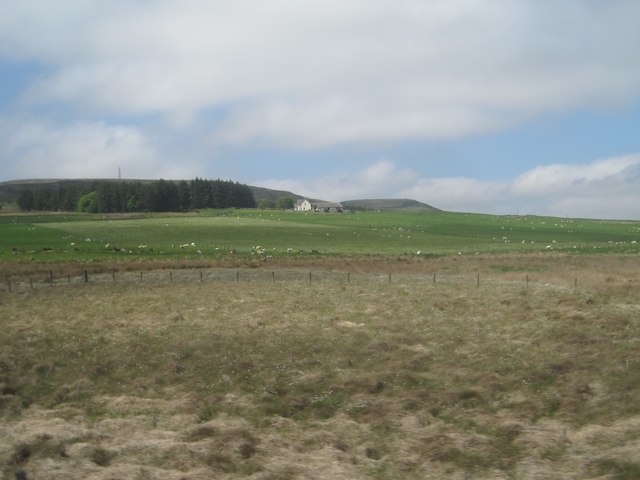
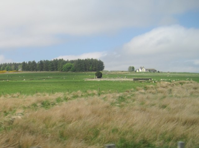
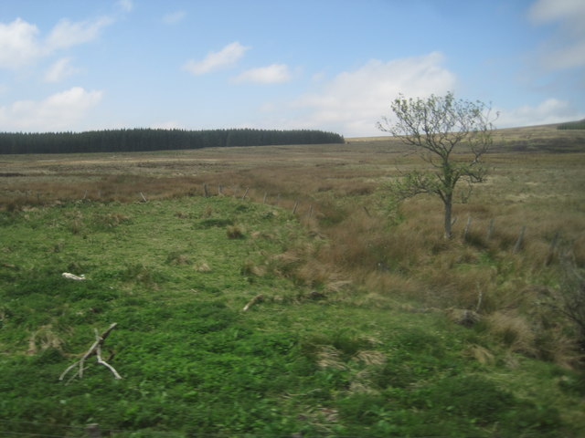
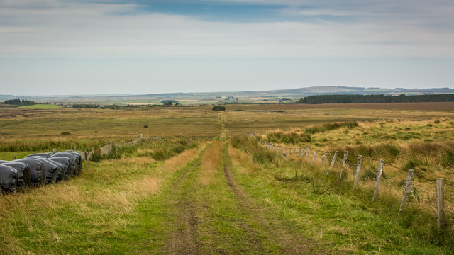
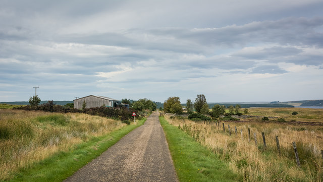
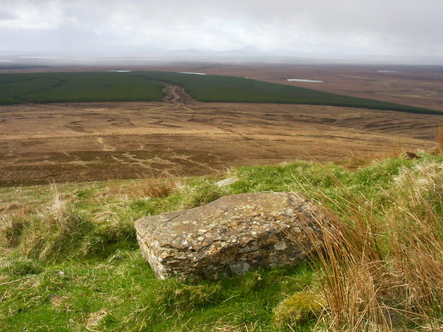
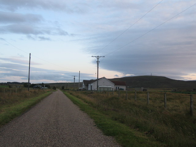
Dorrery is a small, remote village located in the county of Caithness, in the northernmost part of mainland Scotland. Situated in a picturesque rural setting, Dorrery is surrounded by rolling hills, lush green fields, and stunning natural landscapes. This charming village is known for its tranquility and unspoiled beauty, attracting nature enthusiasts, hikers, and those seeking a peaceful retreat.

The population of Dorrery is relatively small, with only a handful of residents. The village boasts a close-knit community where locals are known for their warm and friendly nature. Despite its size, Dorrery offers essential amenities such as a village hall, a post office, and a local pub, which serves as a social hub for the community.

Historically, Dorrery has strong ties to agriculture, with farming playing a significant role in the economy. The fertile land surrounding the village is ideal for cultivating crops and rearing livestock. The countryside is dotted with traditional farmhouses and barns, contributing to the village's rural charm.

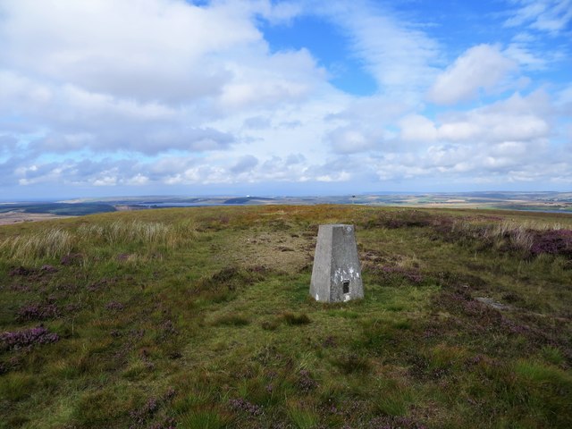
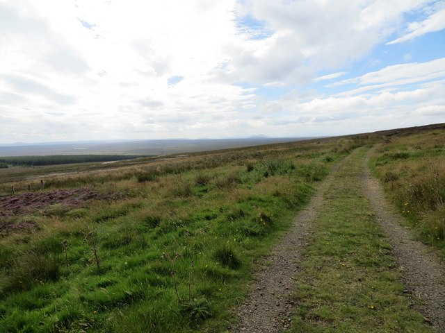
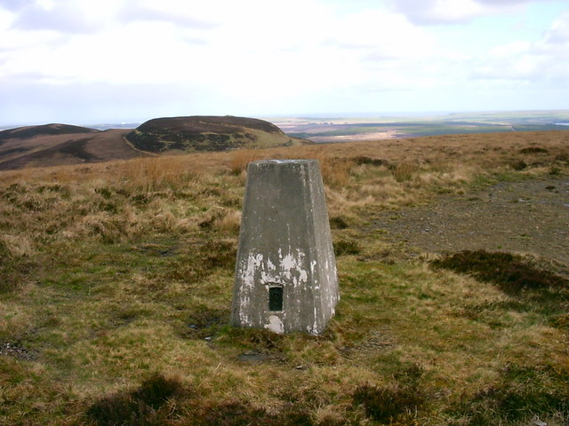
In terms of attractions, Dorrery offers breathtaking natural beauty and opportunities for outdoor activities. Visitors can explore the nearby Dorrery Forest, a serene woodland that provides scenic walking trails and a chance to observe native wildlife. The village is also within close proximity to the renowned Caithness coastline, famous for its rugged cliffs, sandy beaches, and diverse birdlife.

Dorrery is a hidden gem in Caithness, offering a tranquil escape from the hustle and bustle of modern life. Its idyllic location, friendly community, and stunning surroundings make it an appealing destination for those seeking a peaceful retreat or a chance to immerse themselves in Scotland's natural beauty.

If you have any feedback on the listing, please let us know in the comments section below.
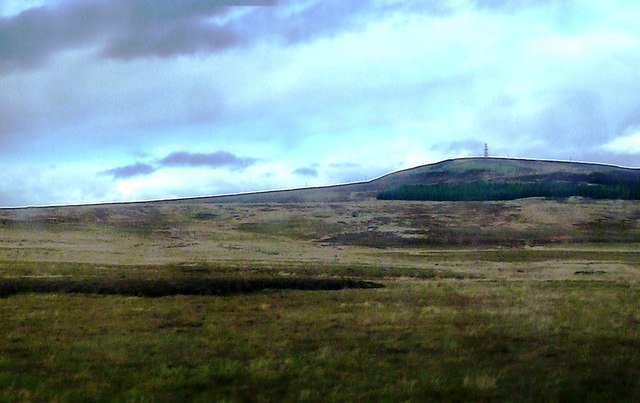
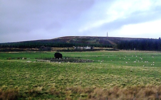
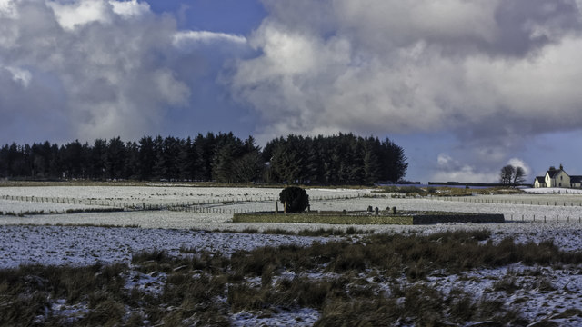
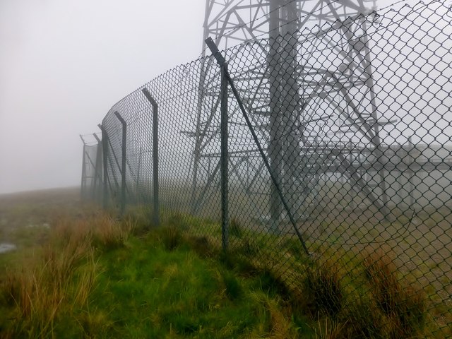
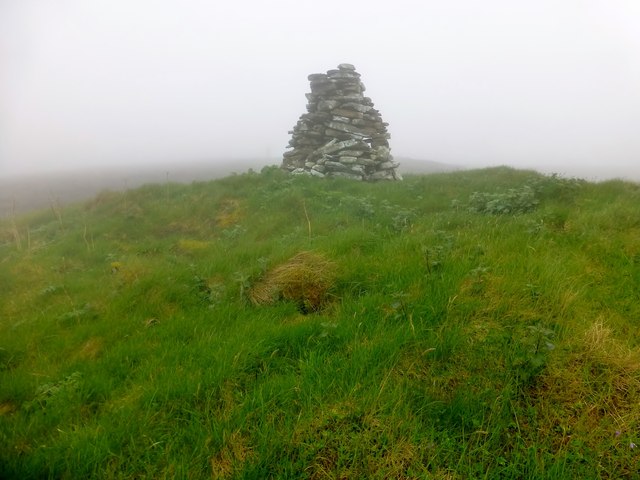
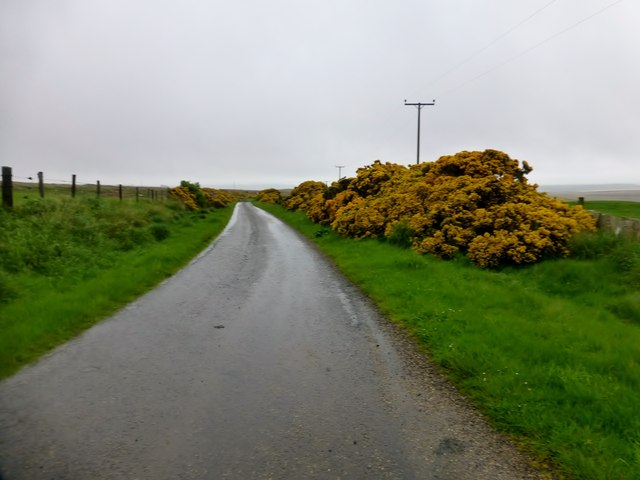
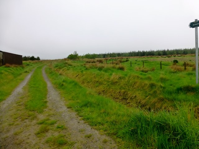
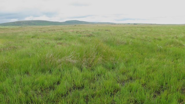
Dorrery Images

Images are sourced within 2km of 58.47326/-3.5888469 or Grid Reference ND0754. Thanks to Geograph Open Source API. All images are credited.

Towards Ben Dorrerey Ben Dorrerey is a significant landmark in this area, even when viewed as a quick look from the Thurso train.
Towards Ben Dorrerey
Ben Dorrerey is a significant landmark in this area, even when viewed as a quick look from the Thurso train.
Old Chapel At Dorrerey A late-October view from a passing train with  Ben Dorrerey in the background. For more information, see <a href="https://www.geograph.org.uk/photo/963913">ND0754 : The Forgotten Dead</a>
Old Chapel At Dorrerey
A late-October view from a passing train with Ben Dorrerey in the background. For more information, see ND0754 : The Forgotten Dead
Graveyard seen from passing train
Ben Dorrery Bagged on a misty morning with Jim Bloomer and Tricky Speirs.
Name: Ben Dorrery
Hill number: 4746
Height: 244m / 801ft
Parent (Ma/M):1150  Morven
Area: 16C: Tongue to Wick and Helmsdale
Class: Hu,2
Grid ref: ND062550 (est)
Drop: 133m
Col:111m  ND058522
Ben Dorrery
Bagged on a misty morning with Jim Bloomer and Tricky Speirs. Name: Ben Dorrery Hill number: 4746 Height: 244m / 801ft Parent (Ma/M):1150 Morven Area: 16C: Tongue to Wick and Helmsdale Class: Hu,2 Grid ref: ND062550 (est) Drop: 133m Col:111m ND058522
Beinn Freiceadain Bagged on a misty morning with Jim Bloomer and Tricky Speirs.
Name: Beinn Freiceadain
Hill number:9621
Height: 239m / 784ft
Parent (Ma/M):1150  Morven
Area:16C: Tongue to Wick and Helmsdale
Class:2
Grid ref: ND059557 (est)
Drop: 36m
Col: 203m
Beinn Freiceadain
Bagged on a misty morning with Jim Bloomer and Tricky Speirs. Name: Beinn Freiceadain Hill number:9621 Height: 239m / 784ft Parent (Ma/M):1150 Morven Area:16C: Tongue to Wick and Helmsdale Class:2 Grid ref: ND059557 (est) Drop: 36m Col: 203m
Minor Road Near Dorrery A view NNW down the minor road near Dorrery.
Minor Road Near Dorrery
A view NNW down the minor road near Dorrery.
Track Towards Ben Dorrery Take the right fork at the path junction SW of Dorrery to head towards Ben Dorrery.
Track Towards Ben Dorrery
Take the right fork at the path junction SW of Dorrery to head towards Ben Dorrery.
Rough Grassland An area of very boggy rough grassland.
Rough Grassland
An area of very boggy rough grassland.
View from a Helmsdale-Thurso train - scrub and fields near Dorrery
View from a Helmsdale-Thurso train - ruined chapel near Dorrery
View from a Helmsdale-Thurso train - Lonely tree in the scrub
Track to Scotscalder
Road and cattle grid
Ben Dorrery triangulation pillar
Track to the summit of Ben Dorrery
Ben Dorrery trig Looking N from position
Ben Dorrery trig
Looking N from position
Southern slopes of Ben Dorrery This square is the land up to the trees.
Southern slopes of Ben Dorrery
This square is the land up to the trees.
Dwelling at Brawlbin A view looking to the south along the lane through Brawlbin. Ben Dorrery can be seen in the distance at right.
Dwelling at Brawlbin
A view looking to the south along the lane through Brawlbin. Ben Dorrery can be seen in the distance at right.
Show me another place!

Dorrery is located at Grid Ref: ND0754 (Lat: 58.47326, Lng: -3.5888469)

Unitary Authority: Highland

Police Authority: Highlands and Islands

What 3 Words

///recipient.sized.defaults. Near Halkirk, Highland

Nearby Locations

Dorrery

Related Wikis

Dorrery

Dorrery is a small hamlet lying to the east of Ben Dorrery in the district of Halkirk in Caithness, Scottish Highlands and is in the Scottish council...

Ca na Catanach

Ca na Catanach (translation: "Sutherland Men's Path") is a road and footpath between Sutherland and Caithness through the moorland in the northeastern...

Scotscalder

Scots Calder is an area within Halkirk, Northern Scotland. It is served by Scotscalder railway station which is operated by ScotRail. The B870 runs directly...

Scotscalder railway station

Scotscalder railway station is a railway station located in the Highland council area in the far north of Scotland. It serves several rural hamlets in...

Olgrinmore

Olgrinmore is a small area in Halkirk, Northern Scotland, south of Thurso and John o' Groats. The B870 runs directly through the centre with Scotscalder...

Loch Shurrery

Loch Shurrery (also known as Loch Shurrey) is a small, shallow, lowland freshwater loch lying approximately 8 mi (13 km) south west of Thurso in the Scottish...

Battle of Harpsdale

The Battle of Harpsdale (Battle of Achardale, Battle of Harpasdal) was a Scottish clan battle fought in 1426 at Achardale, about 8 miles (13 km) south...

Loch Calder

Loch Calder is a lowland freshwater loch lying approximately 5 mi (8.0 km) south west of Thurso in the Scottish Highlands. The loch is large with an irregular...

Nearby Amenities

Located within 500m of 58.47326,-3.5888469
Dorrery
Place: hamlet
Lat/Long: 58.4739084/-3.5874443
Power: pole
Lat/Long: 58.4722584/-3.5899741
Power: pole
Lat/Long: 58.4727584/-3.5893774
Power: pole
Lat/Long: 58.4739414/-3.5879655
Power: pole
Lat/Long: 58.4746312/-3.5882466
Power: pole
Lat/Long: 58.4752965/-3.5885177
Power: pole
Lat/Long: 58.4758245/-3.5887329
Power: pole
Lat/Long: 58.4764168/-3.5889743
Power: pole
Lat/Long: 58.4774423/-3.5893936
The data included in this document is from www.openstreetmap.org. The data is made available under ODbL.

Have you been to Dorrery?

Leave your review of Dorrery below (or comments, questions and feedback).