Dogridge
Settlement in Wiltshire
England
Dogridge
Dogridge is a small village located in the county of Wiltshire, England. Situated about 6 miles east of the town of Marlborough, it lies on the edge of the Marlborough Downs, offering picturesque views of the surrounding countryside.
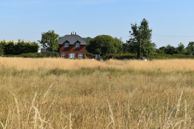
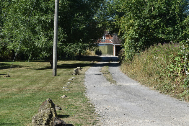
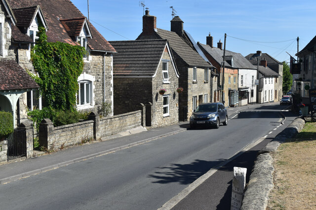
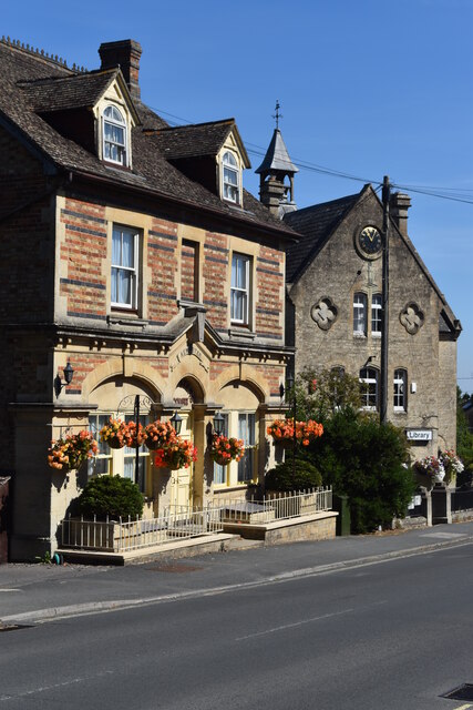
With a population of around 200 residents, Dogridge is a close-knit community known for its tranquility and rural charm. The village is primarily residential, with a scattering of traditional stone cottages and farmhouses, giving it a quaint and timeless feel. The architecture is predominantly traditional, reflecting the village's rich history.
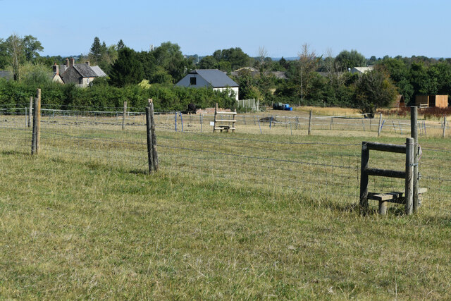
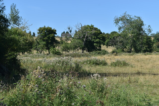
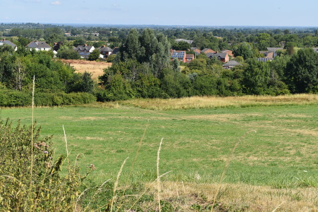
The village is surrounded by lush green fields and rolling hills, making it an ideal location for outdoor enthusiasts. The area offers numerous walking and cycling trails, allowing visitors and residents to explore the beautiful countryside at their leisure. Dogridge is also known for its proximity to the ancient Ridgeway Path, a popular route for hikers and history enthusiasts.
Although Dogridge is a small village, it does have some amenities to cater to the local community. There is a village hall, which hosts various events and gatherings throughout the year, providing a hub for social activities. Additionally, a quaint village pub offers a cozy and welcoming atmosphere for locals and visitors alike.
Overall, Dogridge is a peaceful and idyllic village in the heart of Wiltshire, offering a sense of community and natural beauty. Its rural setting and historical charm make it an attractive destination for those seeking a tranquil retreat in the English countryside.
If you have any feedback on the listing, please let us know in the comments section below.
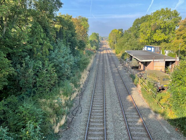
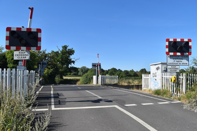
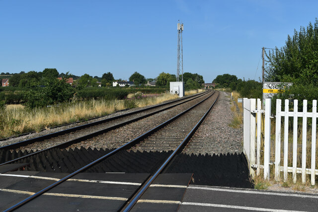
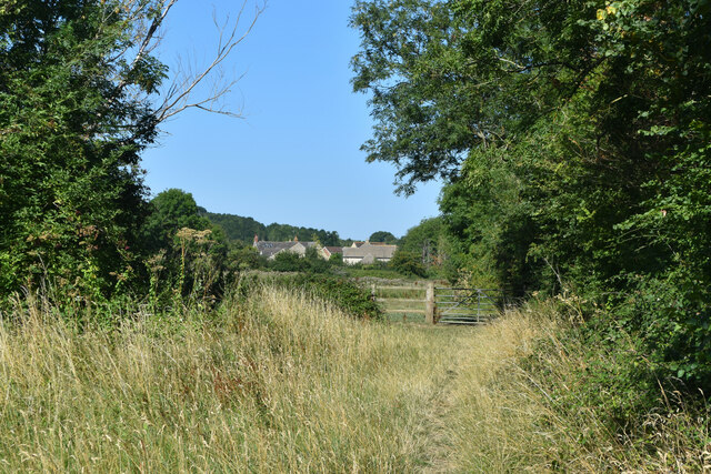
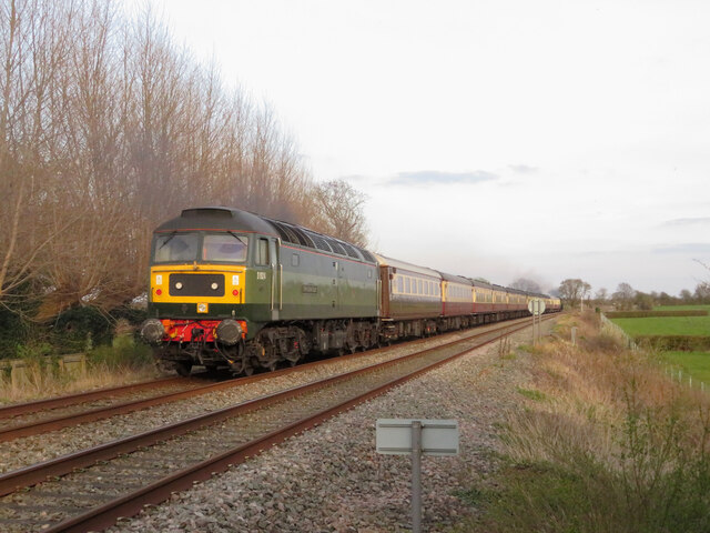
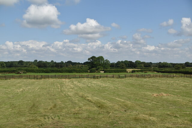
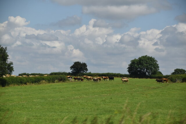
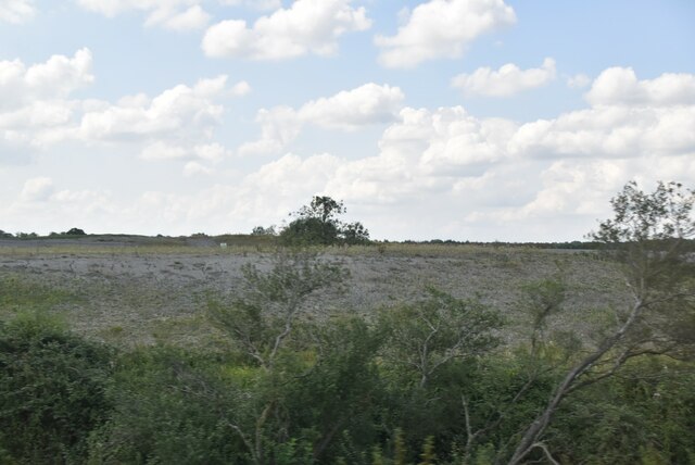
Dogridge Images
Images are sourced within 2km of 51.586936/-1.8837034 or Grid Reference SU0887. Thanks to Geograph Open Source API. All images are credited.


Dogridge is located at Grid Ref: SU0887 (Lat: 51.586936, Lng: -1.8837034)
Unitary Authority: Wiltshire
Police Authority: Wiltshire
What 3 Words
///lifeboats.played.dean. Near Purton, Wiltshire
Nearby Locations
Related Wikis

Ringsbury Camp
Ringsbury Camp is an Iron Age hill fort, thought to date from approximately the year 50BC, in the civil parish of Purton in Wiltshire, England. The site...

Widham
Widham is a hamlet now encompassed within the village and parish of Purton, Wiltshire, England. == History == Originally, Widham consisted of a few houses...

Purton
Purton is a large village and civil parish in north Wiltshire, England, about 4 miles (6 km) northwest of the centre of Swindon. The parish includes the...

Restrop Farm and Brockhurst Wood
Restrop Farm and Brockhurst Wood (grid reference SU073866) is a 56.5 hectare biological Site of Special Scientific Interest in Wiltshire, England, about...
Purton F.C.
Purton F.C. are a football club based in Purton, near Swindon, in Wiltshire, England. They play in the Wiltshire League Division One. == History == Purton...

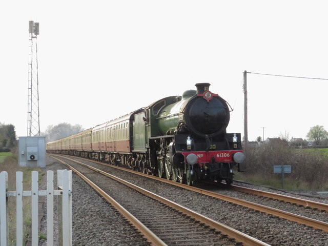
Purton railway station
Purton railway station was in operation on the Swindon to Gloucester line in Wiltshire, England, between 1841 and 1964. The Cheltenham and Great Western...
St Mary's Church, Purton
St Mary's Church in the village of Purton in north Wiltshire, England, is an active Church of England parish church in the Diocese of Bristol. A large...

Lydiard Millicent
Lydiard Millicent is a village and civil parish in Wiltshire, England, about 3+1⁄2 miles (6 km) west of the centre of Swindon. The parish contains the...
Nearby Amenities
Located within 500m of 51.586936,-1.8837034Have you been to Dogridge?
Leave your review of Dogridge below (or comments, questions and feedback).