Dogkennel Green
Settlement in Surrey Guildford
England
Dogkennel Green
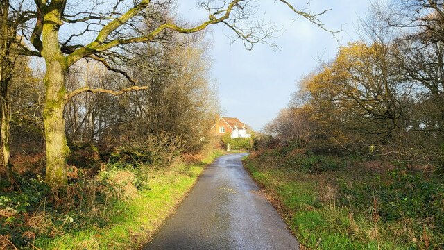
Dogkennel Green is a charming rural village located in the county of Surrey, England. Situated approximately 12 miles south of Guildford, this peaceful community offers a tranquil and idyllic setting for residents and visitors alike.
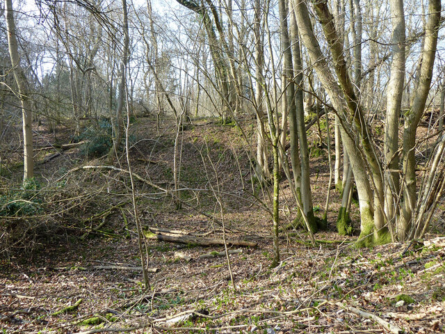
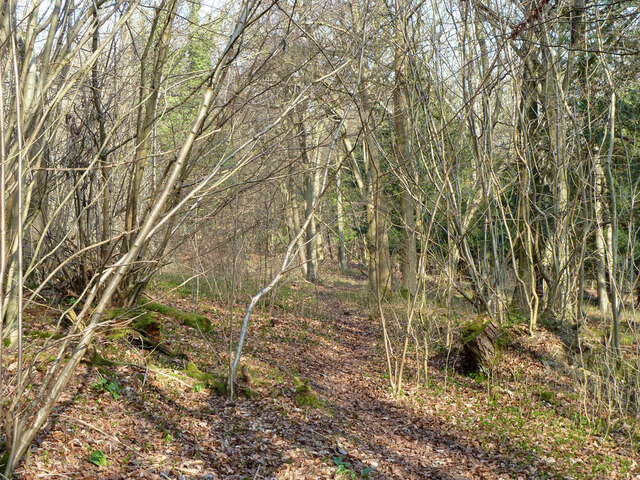
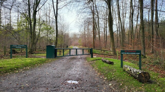
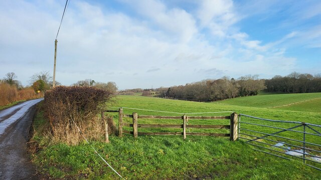
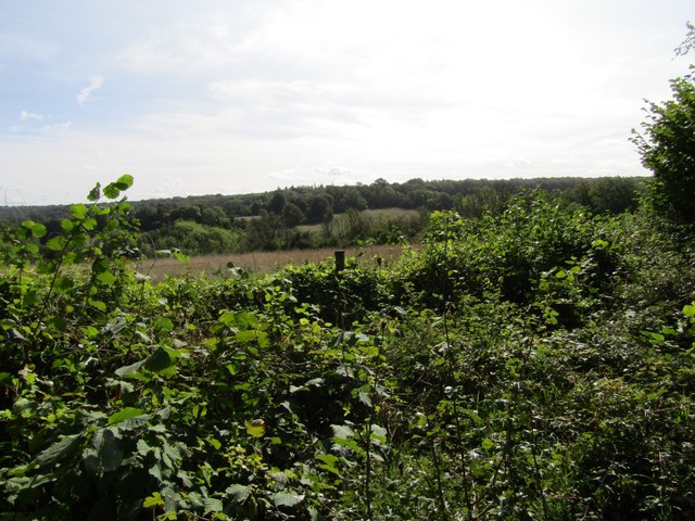
The village derives its name from its historical association with dog kennels that were once present in the area. Today, Dogkennel Green is known for its picturesque landscapes, lush green fields, and stunning countryside views. The village is surrounded by rolling hills and woodlands, making it a haven for nature enthusiasts and outdoor activities such as hiking, cycling, and horseback riding.
Despite its small size, Dogkennel Green boasts a strong sense of community spirit, with friendly residents who take pride in their village. The heart of the village is its quaint village green, which serves as a gathering point for community events and social gatherings. The green is surrounded by charming cottages and period houses, adding to the village's character and charm.
Although Dogkennel Green is predominantly residential, it is conveniently located near several larger towns and villages, offering a range of amenities and services. The nearby town of Godalming provides access to grocery stores, shops, restaurants, and schools, ensuring that residents have easy access to daily necessities.
Overall, Dogkennel Green is a serene and picturesque village that offers a peaceful countryside lifestyle while still providing access to nearby amenities. Its natural beauty and strong community spirit make it a desirable place to live or visit for those seeking a slower pace of life in the stunning Surrey countryside.
If you have any feedback on the listing, please let us know in the comments section below.
Dogkennel Green Images
Images are sourced within 2km of 51.243836/-0.40101076 or Grid Reference TQ1150. Thanks to Geograph Open Source API. All images are credited.


Dogkennel Green is located at Grid Ref: TQ1150 (Lat: 51.243836, Lng: -0.40101076)
Administrative County: Surrey
District: Guildford
Police Authority: Surrey
What 3 Words
///guises.stable.ideas. Near Westcott, Surrey
Nearby Locations
Related Wikis
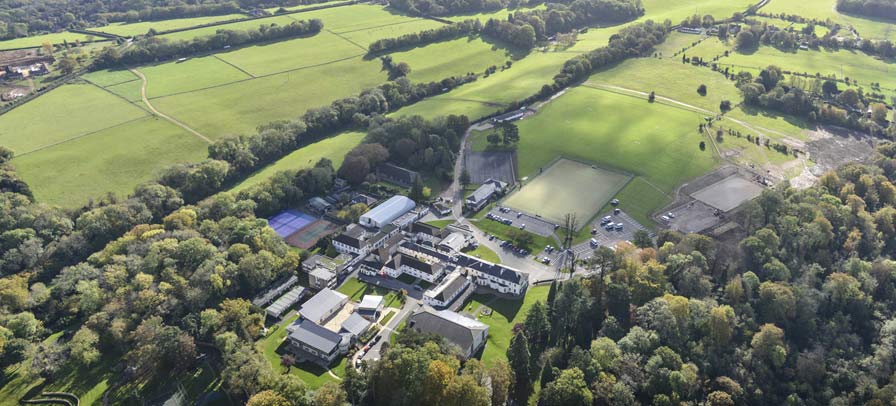
St Teresa's School Effingham
St Teresa's Effingham is a selective, independent boarding and day school for girls aged 2–18 in Effingham, Surrey, England, established in 1928. It is...

Ranmore Common
Ranmore Common, also known as Ranmore Commons, is an area of wooded former common land on the North Downs, immediately northwest of Dorking in the English...

Stockbroker Belt
The Stockbroker Belt is a loosely defined region overlapping the borders of the London metropolitan area and the commuter region surrounding Greater London...

List of local nature reserves in Surrey
Local nature reserves are designated by local authorities under the National Parks and Access to the Countryside Act 1949. The local authority must have...

Surrey Wildlife Trust
Surrey Wildlife Trust (SWT) was founded in 1959 as Surrey Naturalists' Trust and it is one of forty-six wildlife trusts covering Great Britain, Northern...

Hackhurst and White Downs
Hackhurst and White Downs is a 185.1-hectare (457-acre) biological Site of Special Scientific Interest west of Dorking in Surrey. White Downs is a Nature...
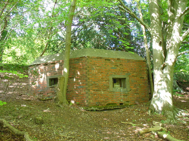
Outer London Defence Ring
The Outer London Defence Ring was a defensive ring built around London during the early part of the Second World War. It was intended as a defence against...
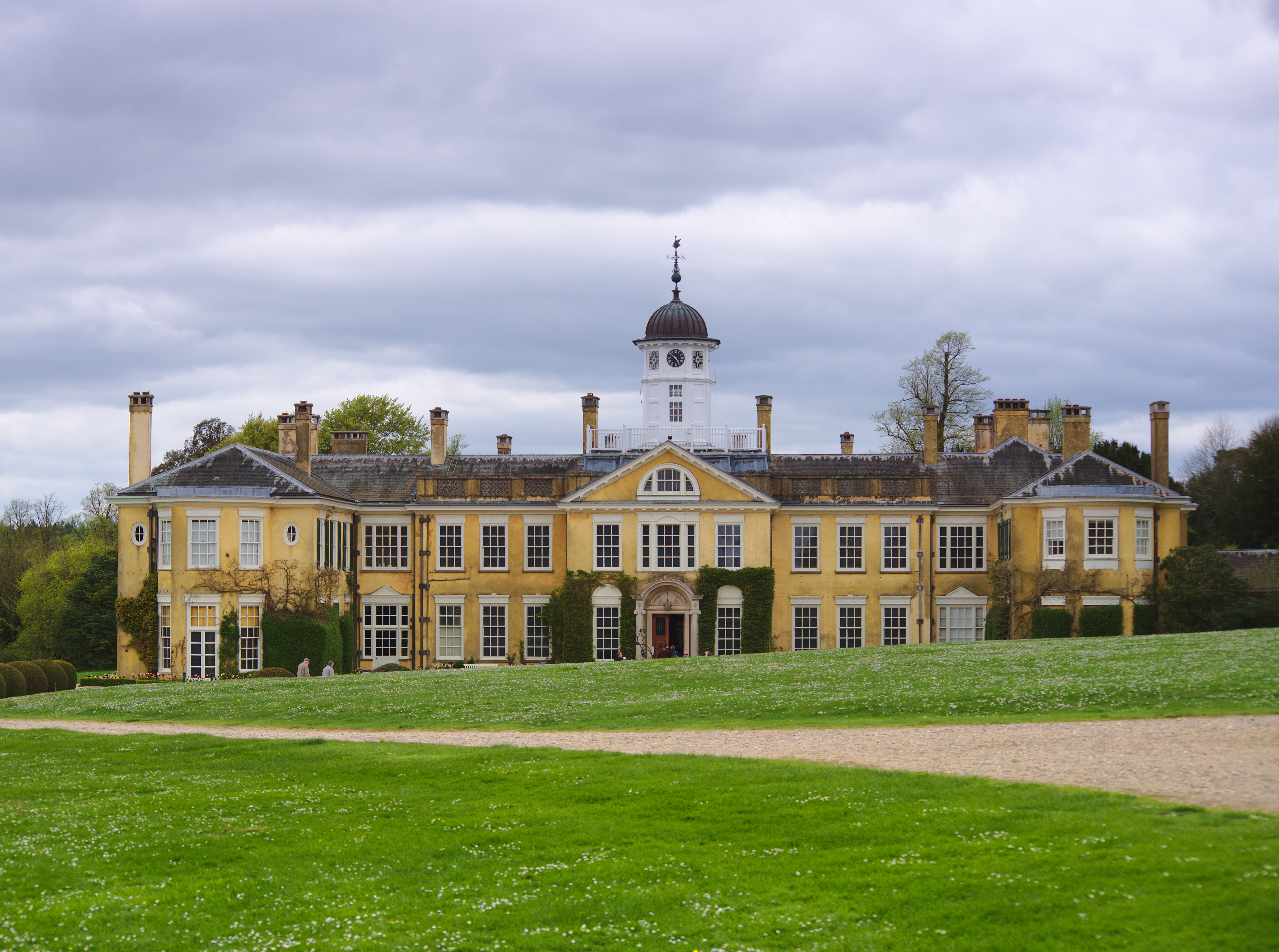
Polesden Lacey
Polesden Lacey is an Edwardian house and estate, located on the North Downs at Great Bookham, near Dorking, Surrey, England. It is owned and run by the...
Nearby Amenities
Located within 500m of 51.243836,-0.40101076Have you been to Dogkennel Green?
Leave your review of Dogkennel Green below (or comments, questions and feedback).