Dalchork

Settlement in Sutherland

Scotland

Dalchork

Allt Chaiseagall A large clear felled area upstream. View from Dalchork Bridge
Allt Chaiseagall Credit: Richard Webb

Dalchork is a small village nestled in the Scottish Highlands, located in the county of Sutherland. Situated approximately 10 miles northwest of the town of Lairg, Dalchork is surrounded by stunning natural beauty and offers a peaceful escape from the hustle and bustle of city life.

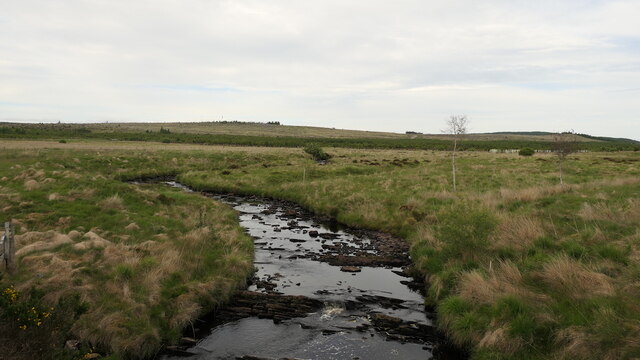
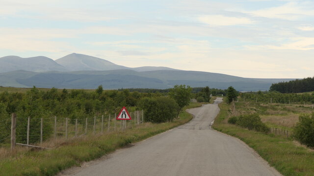
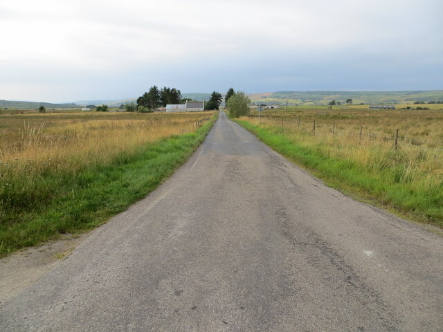
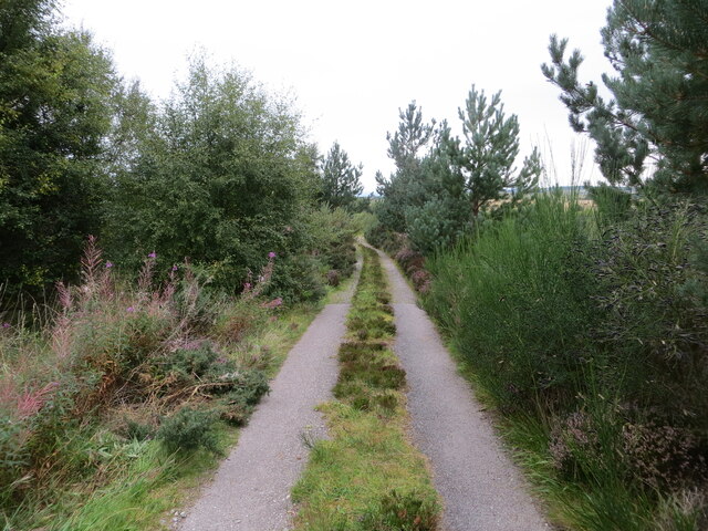
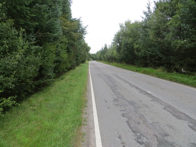
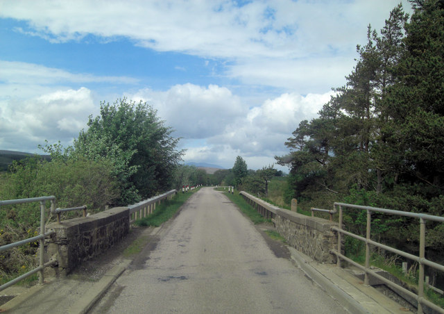
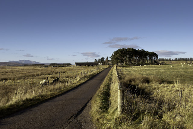
The village is known for its picturesque landscapes, with rolling hills, vast moorlands, and glistening lochs providing a breathtaking backdrop. Outdoor enthusiasts flock to Dalchork to explore the area's numerous walking trails, fishing spots, and cycling routes. The nearby Shin Falls, a popular tourist attraction, offers a spectacular sight as water cascades down the rocky terrain.

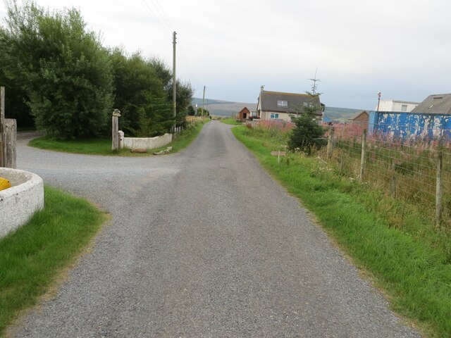
Dalchork is home to a tight-knit community, with a population of around 150 residents. The village boasts a range of amenities, including a primary school, a village hall that hosts local events and gatherings, and a small shop that caters to the everyday needs of the residents.

The history of Dalchork can be traced back to the ancient times, with remnants of Iron Age settlements and standing stones found in the surrounding areas. The village has also played a significant role in the region's agricultural industry, with sheep farming being a prominent occupation.

For those seeking tranquility, natural beauty, and a close-knit community, Dalchork offers an idyllic setting. Whether it's exploring the rugged landscapes, immersing oneself in the rich history, or simply enjoying the peace and quiet, Dalchork provides a charming escape in the heart of the Scottish Highlands.

If you have any feedback on the listing, please let us know in the comments section below.
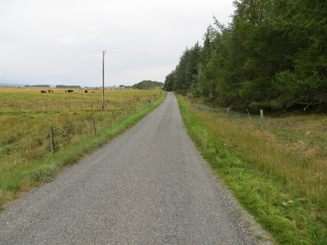
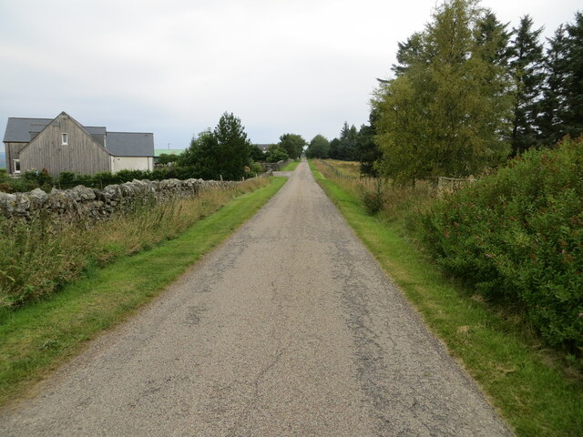
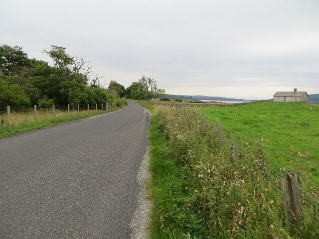
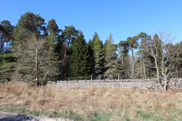
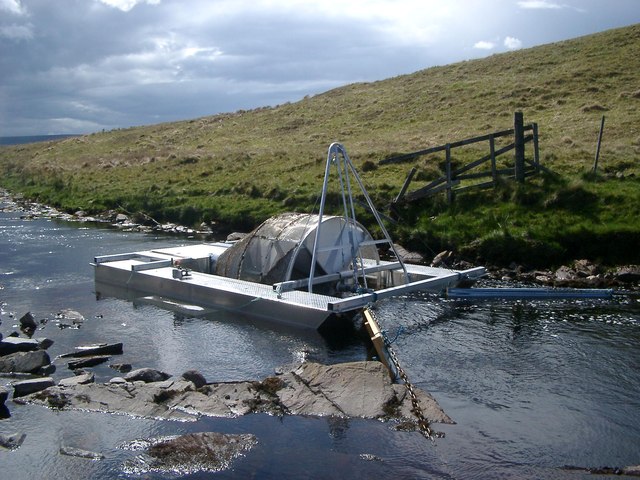
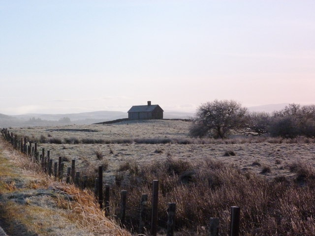
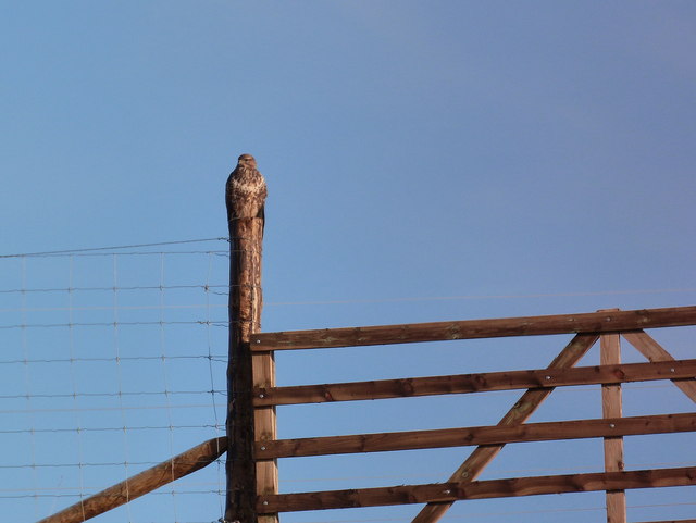
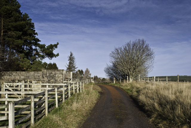
Dalchork Images

Images are sourced within 2km of 58.061722/-4.418012 or Grid Reference NC5710. Thanks to Geograph Open Source API. All images are credited.

Allt Chaiseagall A large clear felled area upstream. View from Dalchork Bridge
Allt Chaiseagall
A large clear felled area upstream. View from Dalchork Bridge
A836, Dalchork Lairg to Tongue road
A836, Dalchork
Lairg to Tongue road
Minor road near to Tirryside Looking south-westward from the entrance to Pondside Camping Site.
Minor road near to Tirryside
Looking south-westward from the entrance to Pondside Camping Site.
Minor road near to Tirryside Looking south-westward.
Minor road near to Tirryside
Looking south-westward.
Minor road between Tirryside and Achfrish Looking north-westward.
Minor road between Tirryside and Achfrish
Looking north-westward.
Minor road at Achfrish Looking north-westward.
Minor road at Achfrish
Looking north-westward.
Road (A838) heading towards Colaboll Looking south-eastward. Loch Shin can be seen in the far distance.
Road (A838) heading towards Colaboll
Looking south-eastward. Loch Shin can be seen in the far distance.
A small wood at Dalchork
Track that gives access to Loch Shin and Dalchork Bird Hide Looking north-westward. Alan's picture <a title="https://www.geograph.org.uk/photo/4145020" href="https://www.geograph.org.uk/photo/4145020">Link</a> indicates access to the track from the A836 road.
Track that gives access to Loch Shin and Dalchork Bird Hide
Looking north-westward. Alan's picture Link indicates access to the track from the A836 road.
Tree-lined road (A836) heading in the direction of Lairg Looking south-westward.
Tree-lined road (A836) heading in the direction of Lairg
Looking south-westward.
On the River Tirry bridge Flowing into the southern part of Loch Shin the Tirry is itself a product of several smaller streams.
On the River Tirry bridge
Flowing into the southern part of Loch Shin the Tirry is itself a product of several smaller streams.
A sheiling at Colaboll A hut or small cottage in an exposed or a retired place (as on a mountain or at the seaside) such as is used by shepherds, fishermen, sportsmen, etc.; a summer cottage; also, a shed. [Written also sheel, shealing, sheiling, etc.] [Scot.]WEBSTERS.
A sheiling at Colaboll
A hut or small cottage in an exposed or a retired place (as on a mountain or at the seaside) such as is used by shepherds, fishermen, sportsmen, etc.; a summer cottage; also, a shed. [Written also sheel, shealing, sheiling, etc.] [Scot.]WEBSTERS.
Fish catcher Rotating smolt trap propelled by the river flow and tethered in rocky Linn.
Fish catcher
Rotating smolt trap propelled by the river flow and tethered in rocky Linn.
Fish catcher Showing up stream intake face.
Fish catcher
Showing up stream intake face.
Bothy near Colaboll Overlooking Loch Shin.
Bothy near Colaboll
Overlooking Loch Shin.
Buzzard pretending to be a fencepost Probably a good hunting strategy - and certainly not requiring much expenditure of energy!
Buzzard pretending to be a fencepost
Probably a good hunting strategy - and certainly not requiring much expenditure of energy!
Track, tree and sheep fold
Road to Achfrish
Road to Achfrish
Show me another place!

Dalchork is located at Grid Ref: NC5710 (Lat: 58.061722, Lng: -4.418012)

Unitary Authority: Highland

Police Authority: Highlands and Islands

What 3 Words

///cheerful.bunny.abstracts. Near Lairg, Highland

Nearby Locations

Dalchork

Related Wikis

Achfrish

Achfrish is a hamlet situated towards the southeastern part of Loch Shin on the north side of the Loch in Highland, Scotland. It is also part of the wider...

Saval

Saval (Scottish Gaelic: Sàbhal) is a small remote hamlet, surrounded by Dalchork Wood, 1.5 miles northeast of the village of Lairg, in Sutherland, Scottish...

Achnairn

Achnairn (Scottish Gaelic: Achadh an Fheàrna) is a village in the Scottish council area of Highland, situated on the east side of Loch Shin. == References ==

Lairg

Lairg (Scottish Gaelic: An Luirg, meaning "the shank/shin") is a village and parish in Sutherland, Scotland. It has a population of 891 and is at the south...

Nearby Amenities

Located within 500m of 58.061722,-4.418012
Power: tower
Lat/Long: 58.0583258/-4.4229604
Power: pole
Lat/Long: 58.0635788/-4.4253577
Power: pole
Lat/Long: 58.0629661/-4.4248671
Power: pole
Lat/Long: 58.0623616/-4.4243688
Power: pole
Lat/Long: 58.0617612/-4.4238938
Power: pole
Lat/Long: 58.0611175/-4.4233662
Power: pole
Lat/Long: 58.0607375/-4.4230469
Power: pole
Lat/Long: 58.060684/-4.4218633
Power: pole
Lat/Long: 58.0606119/-4.4206641
Power: pole
Lat/Long: 58.0605604/-4.4197609
Power: pole
Lat/Long: 58.0598673/-4.4188128
Power: pole
Lat/Long: 58.0591927/-4.417966
Power: pole
Lat/Long: 58.058309/-4.4169186
Power: pole
Lat/Long: 58.0574552/-4.4159005
Dalchork
Name Gd: Dail Choirce
Place: hamlet
Lat/Long: 58.0615683/-4.4196705
Power: pole
Lat/Long: 58.0645208/-4.4115499
Power: pole
Lat/Long: 58.0637235/-4.4118664
Power: pole
Lat/Long: 58.0629218/-4.4112736
Power: pole
Lat/Long: 58.0623287/-4.4103724
Power: pole
Lat/Long: 58.0602188/-4.4101042
The data included in this document is from www.openstreetmap.org. The data is made available under ODbL.

Have you been to Dalchork?

Leave your review of Dalchork below (or comments, questions and feedback).