Cunnery
Settlement in Shropshire
England
Cunnery

Cunnery is a small village located in the county of Shropshire, England. Situated in the West Midlands region, it lies approximately 10 miles south of the county town of Shrewsbury. The village is nestled in a picturesque rural setting, surrounded by rolling hills and agricultural fields.
Cunnery is characterized by its charming, traditional English countryside atmosphere. The village is known for its well-preserved historic buildings and quaint cottages, which give it a timeless appeal. The local architecture showcases a mix of styles, including timber-framed houses and stone buildings, dating back several centuries.
The community in Cunnery is close-knit and friendly, with a population of around 300 residents. The village is home to a range of amenities, including a local pub, a village hall, and a church. These facilities serve as focal points for social gatherings and community events.
The surrounding area offers ample opportunities for outdoor activities and exploration. Cunnery is blessed with beautiful natural landscapes, making it a popular destination for walkers, hikers, and nature enthusiasts. The nearby Shropshire Hills Area of Outstanding Natural Beauty provides stunning vistas and diverse wildlife.
For those seeking a taste of history, Cunnery is conveniently located near several historical attractions. The medieval Stokesay Castle and the Iron Age hill fort of The Wrekin are just a short drive away, offering visitors a glimpse into the region's rich heritage.
Overall, Cunnery offers a tranquil and idyllic setting, making it a desirable place to live for those seeking a peaceful countryside experience.
If you have any feedback on the listing, please let us know in the comments section below.
Cunnery Images
Images are sourced within 2km of 52.538228/-2.8091201 or Grid Reference SO4593. Thanks to Geograph Open Source API. All images are credited.


Cunnery is located at Grid Ref: SO4593 (Lat: 52.538228, Lng: -2.8091201)
Unitary Authority: Shropshire
Police Authority: West Merica
What 3 Words
///walls.vibes.publisher. Near Church Stretton, Shropshire
Nearby Locations
Related Wikis

St Laurence's Church, Church Stretton
St Laurence's Church is in Church Street, Church Stretton, Shropshire, England. It is an active Anglican parish church in the deanery of Condover, the...

Church Stretton
Church Stretton is a market town and civil parish in Shropshire, England, 13 miles (21 km) south of Shrewsbury and 15 miles (24 km) north of Ludlow. The...
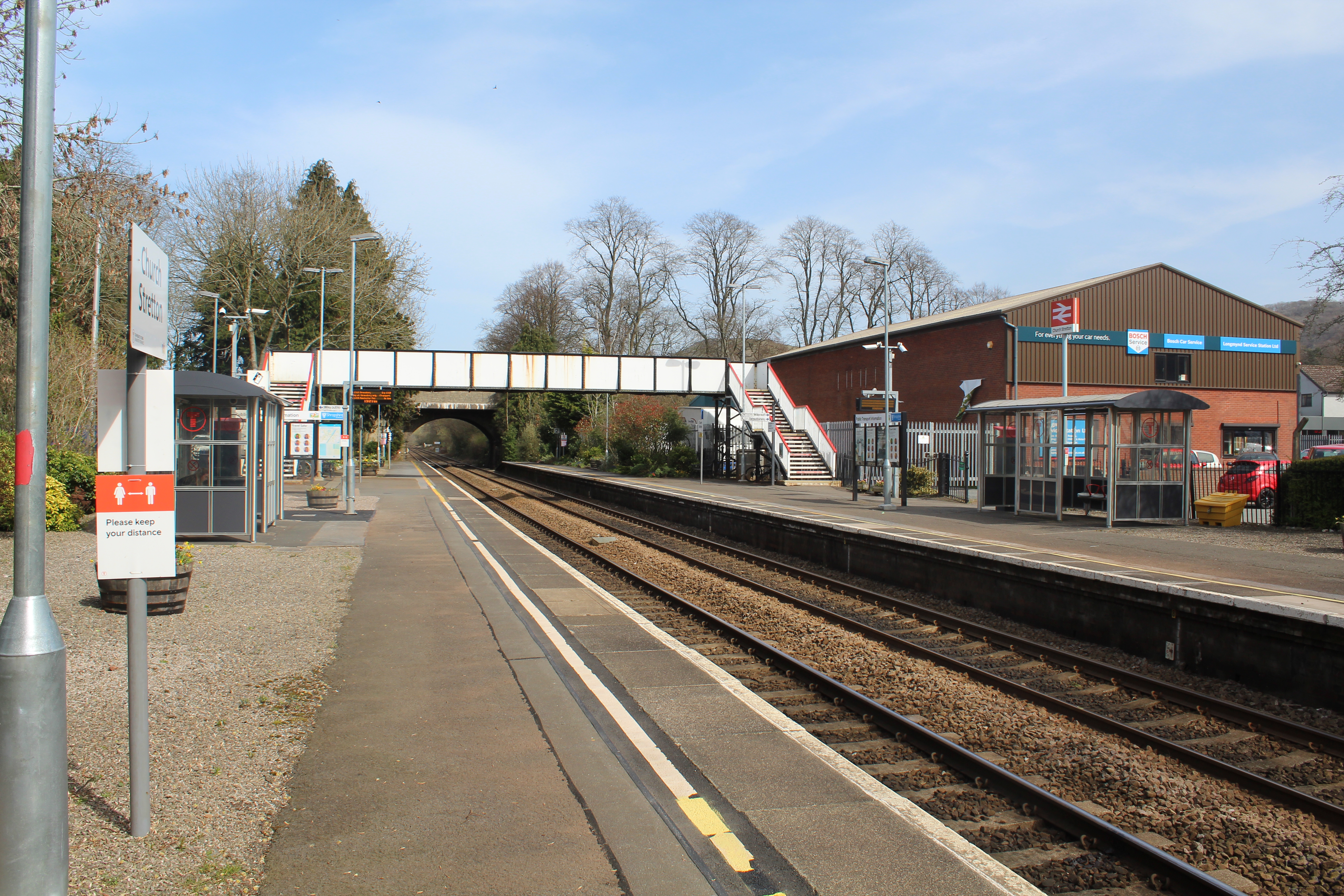
Church Stretton railway station
Church Stretton railway station is a railway station serving the town of Church Stretton in Shropshire, England on the Welsh Marches Line, 12+3⁄4 miles...

Church Stretton School
Church Stretton School is an 11–16 mixed secondary school with academy status in Church Stretton, Shropshire, England.Previously a community school administered...
Nearby Amenities
Located within 500m of 52.538228,-2.8091201Have you been to Cunnery?
Leave your review of Cunnery below (or comments, questions and feedback).