Culland
Settlement in Derbyshire Derbyshire Dales
England
Culland
Culland is a small village located in the county of Derbyshire, England. Situated approximately 10 miles southeast of the city of Derby, it falls within the administrative district of South Derbyshire. The village is nestled amidst the scenic countryside and is known for its tranquil atmosphere and beautiful surroundings.
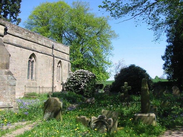
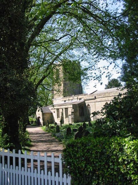
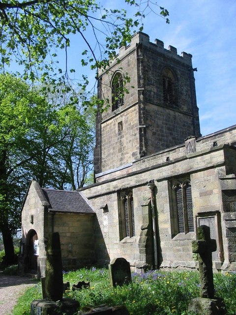
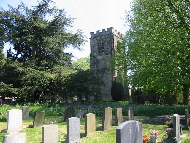
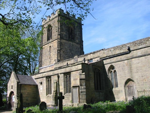
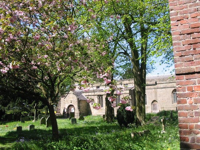
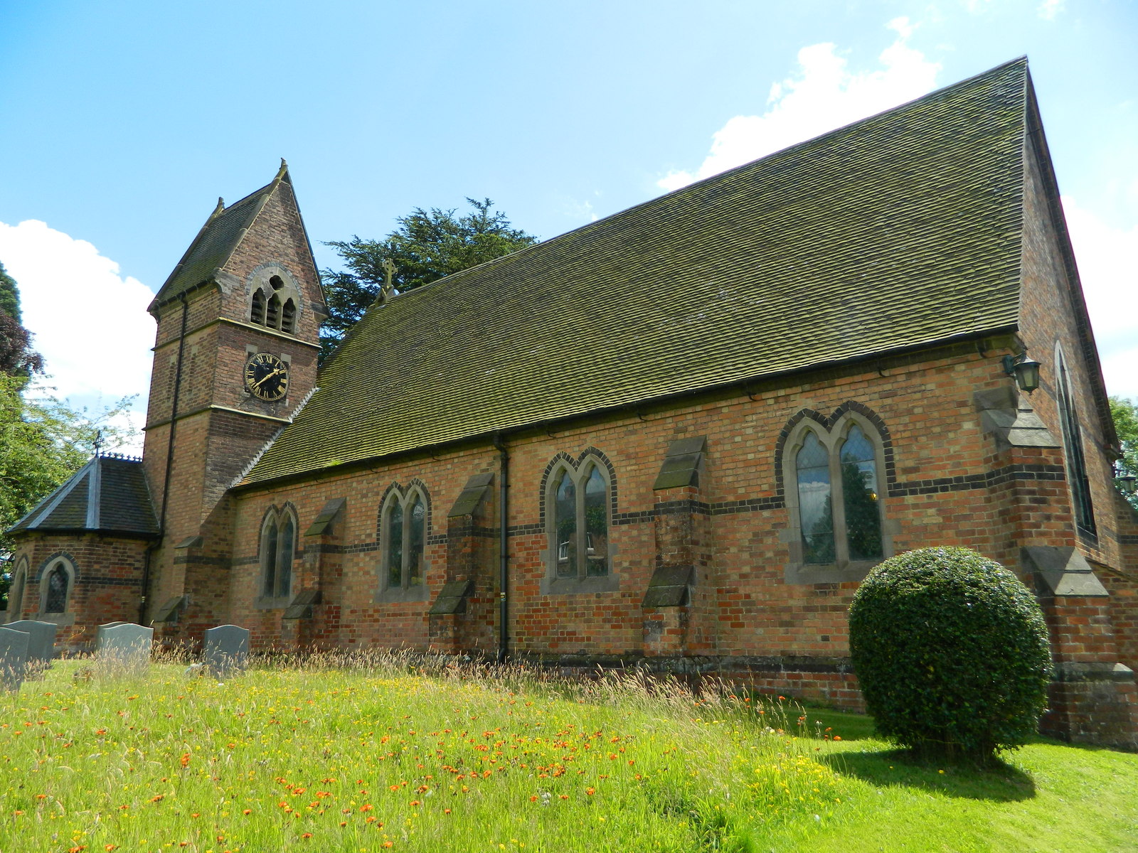
Culland is home to a close-knit community, consisting primarily of residential properties and a few small local businesses. The village boasts a charming mix of traditional and modern architecture, with many of its buildings dating back several centuries. The historic St. Andrew's Church, a notable local landmark, adds to the village's character.
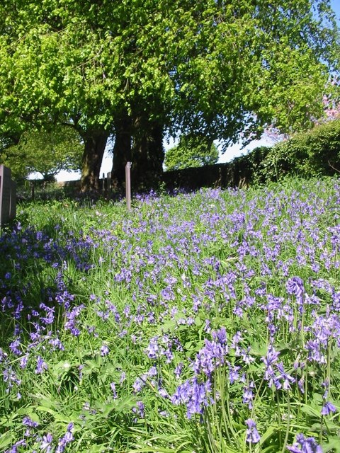
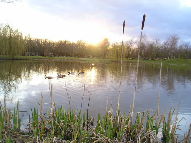
Despite its small size, Culland offers a range of amenities for its residents. These include a primary school, a village hall, and a local pub, providing a sense of community and meeting spaces for social events. The surrounding countryside provides ample opportunities for outdoor activities such as hiking, cycling, and horse riding, attracting visitors and locals alike.
Culland's location provides convenient access to nearby towns and cities, with Derby's amenities and attractions easily reached by car or public transport. The village also benefits from its proximity to the Peak District National Park, renowned for its stunning landscapes, and is within easy reach of historical sites such as Chatsworth House and Kedleston Hall.
Overall, Culland offers a peaceful and picturesque setting, making it an attractive place to reside for those seeking a tranquil village lifestyle within close proximity to urban amenities and natural beauty.
If you have any feedback on the listing, please let us know in the comments section below.
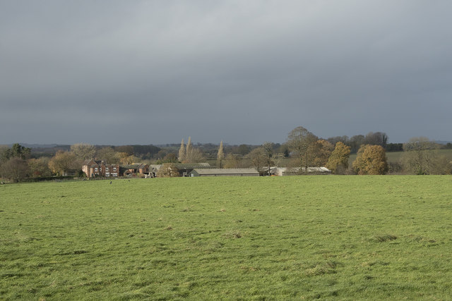
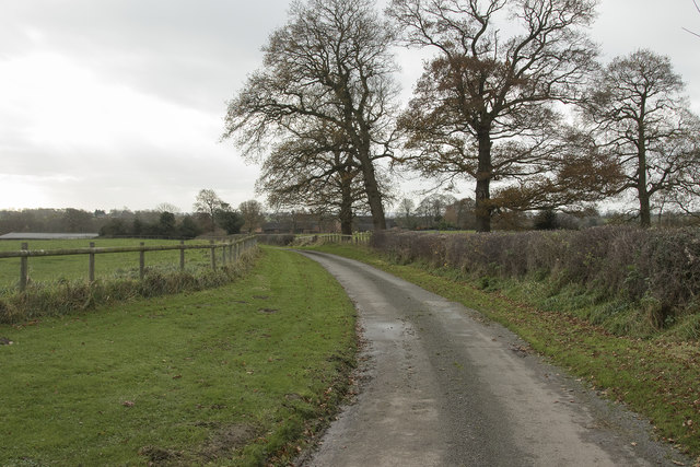
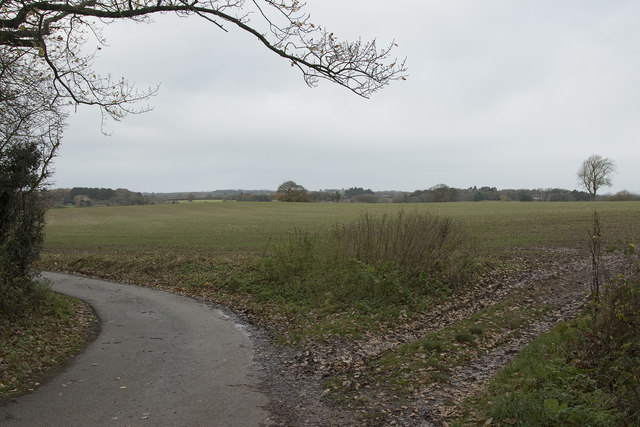
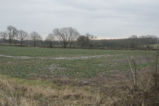
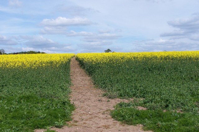
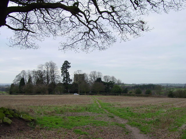
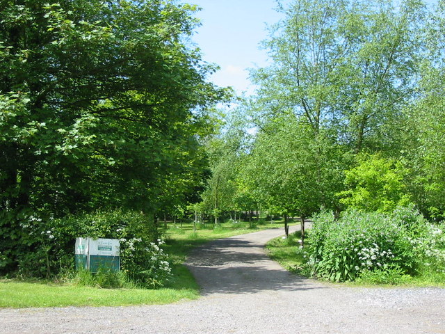
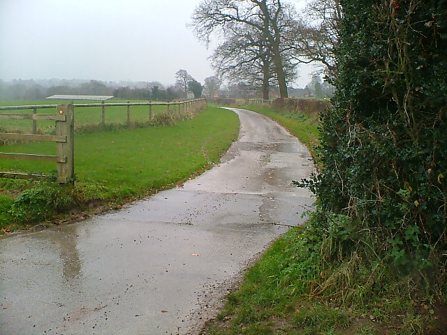
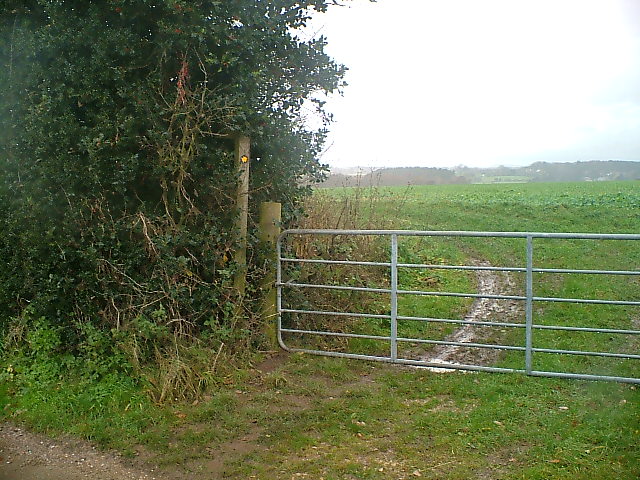
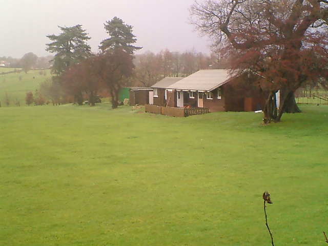
Culland Images
Images are sourced within 2km of 52.95068/-1.6343018 or Grid Reference SK2439. Thanks to Geograph Open Source API. All images are credited.
Culland is located at Grid Ref: SK2439 (Lat: 52.95068, Lng: -1.6343018)
Administrative County: Derbyshire
District: Derbyshire Dales
Police Authority: Derbyshire
What 3 Words
///spotted.obstruct.someone. Near Etwall, Derbyshire
Nearby Locations
Related Wikis

Thurvaston
Thurvaston is a small village in South Derbyshire. In 1970 the population (together with Osleston) was put at 200. This represents a general fall since...
Christ Church, Long Lane
Christ Church, Long Lane is a Grade II listed parish church in the Church of England in Long Lane, Derbyshire. == History == The church dates from 1859...

Hollington, Derbyshire
Hollington is a village and civil parish near the town of Uttoxeter and 5.5 miles (8.9 km) from the city of Derby, in the English county of Derbyshire...

All Saints' Church, Brailsford
All Saints’ Church, Brailsford is a Grade I listed parish church in the Church of England in Brailsford, Derbyshire. == History == The church dates from...

Osleston
Osleston is a hamlet which together with Thurvaston makes up the parish of Osleston and Thurvaston. The civil parish population at the 2011 Census was...

Brailsford
Brailsford (52°58′16″N 1°37′26″W) is a small red-brick village and civil parish in Derbyshire on the A52 midway between Derby and Ashbourne. The parish...
Osleston and Thurvaston
Osleston and Thurvaston is a civil parish in Derbyshire, England. The parish includes Longlane, Osleston and Thurvaston. As of 2020, it has a population...

Ednaston Manor
Ednaston Manor is a country house in Ednaston, near Brailsford, Derbyshire, England. It was built in 1912–19 in a Queen Anne style by Edwin Lutyens, for...
Nearby Amenities
Located within 500m of 52.95068,-1.6343018Have you been to Culland?
Leave your review of Culland below (or comments, questions and feedback).