Cullachie

Settlement in Inverness-shire

Scotland

Cullachie

Bridge over the former GNSR railway line The Great North of Scotland railway company opened the section of line between Nethy bridge and Boat of Garten in 1866, presumably this bridge dates from around this time.
Bridge over the former GNSR railway line Credit: valenta

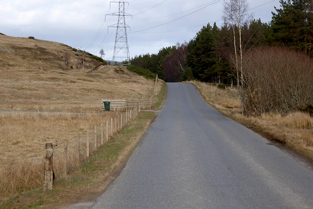
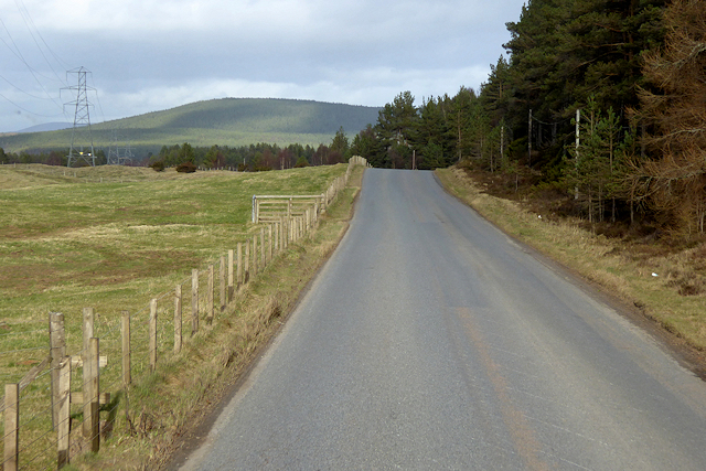
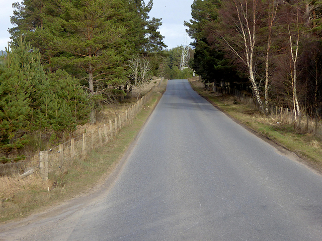
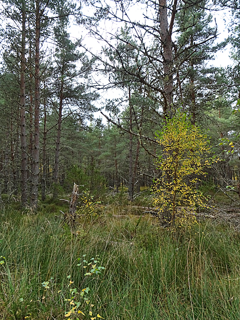
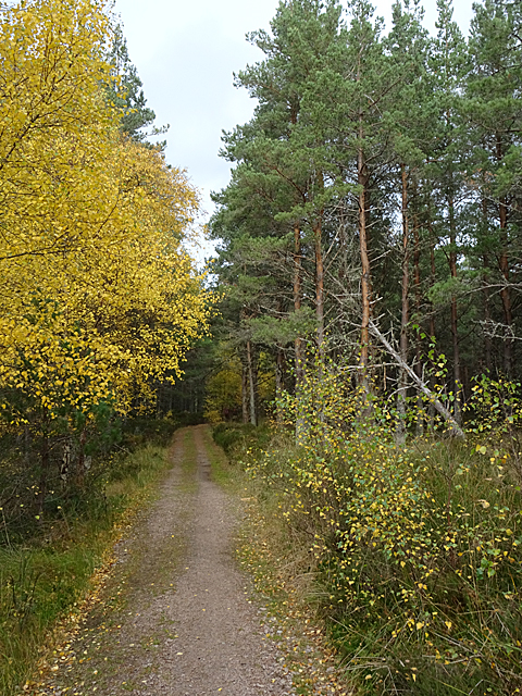
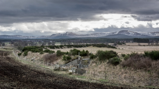
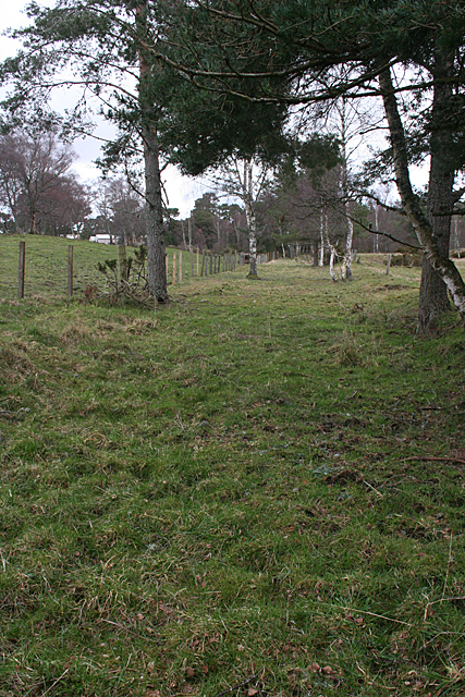
Cullachie is a small rural community located in the Scottish Highlands in Inverness-shire. Situated near the village of Tomatin, Cullachie is surrounded by stunning natural landscapes, including rolling hills, forests, and rivers.

The area is known for its tranquil atmosphere and picturesque scenery, making it a popular destination for those looking to escape the hustle and bustle of city life. Cullachie is also a great base for outdoor enthusiasts, with plenty of opportunities for hiking, fishing, and birdwatching in the surrounding area.

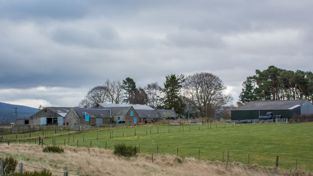
The community itself is made up of a mix of traditional stone cottages and modern homes, giving it a charming and timeless feel. There are a few local amenities in Cullachie, including a small shop and a pub, but most residents travel to nearby towns for larger grocery stores and services.

Overall, Cullachie offers a peaceful and idyllic setting for those looking to experience the beauty of the Scottish Highlands.

If you have any feedback on the listing, please let us know in the comments section below.
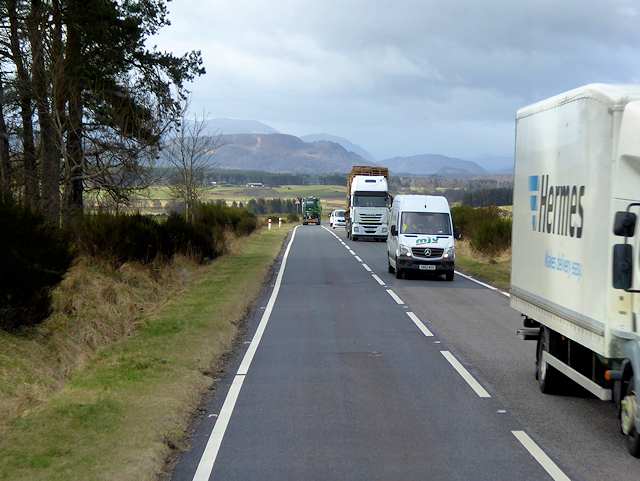
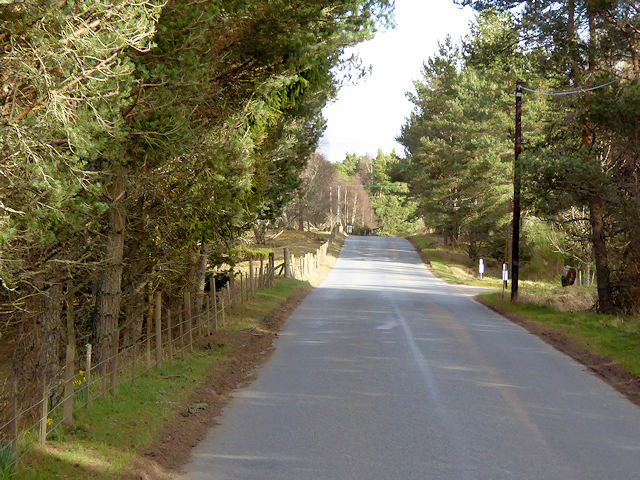
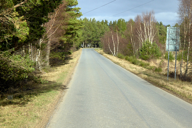
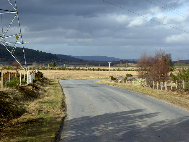
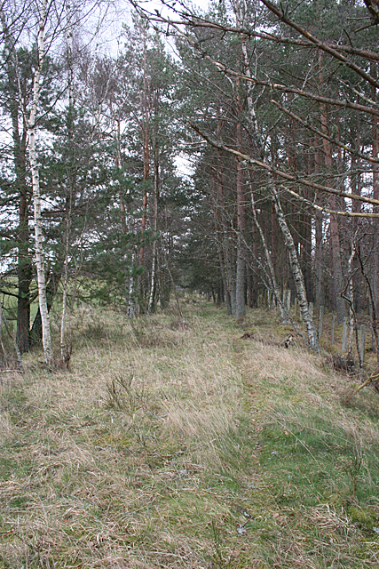
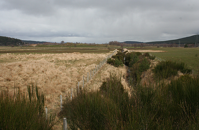
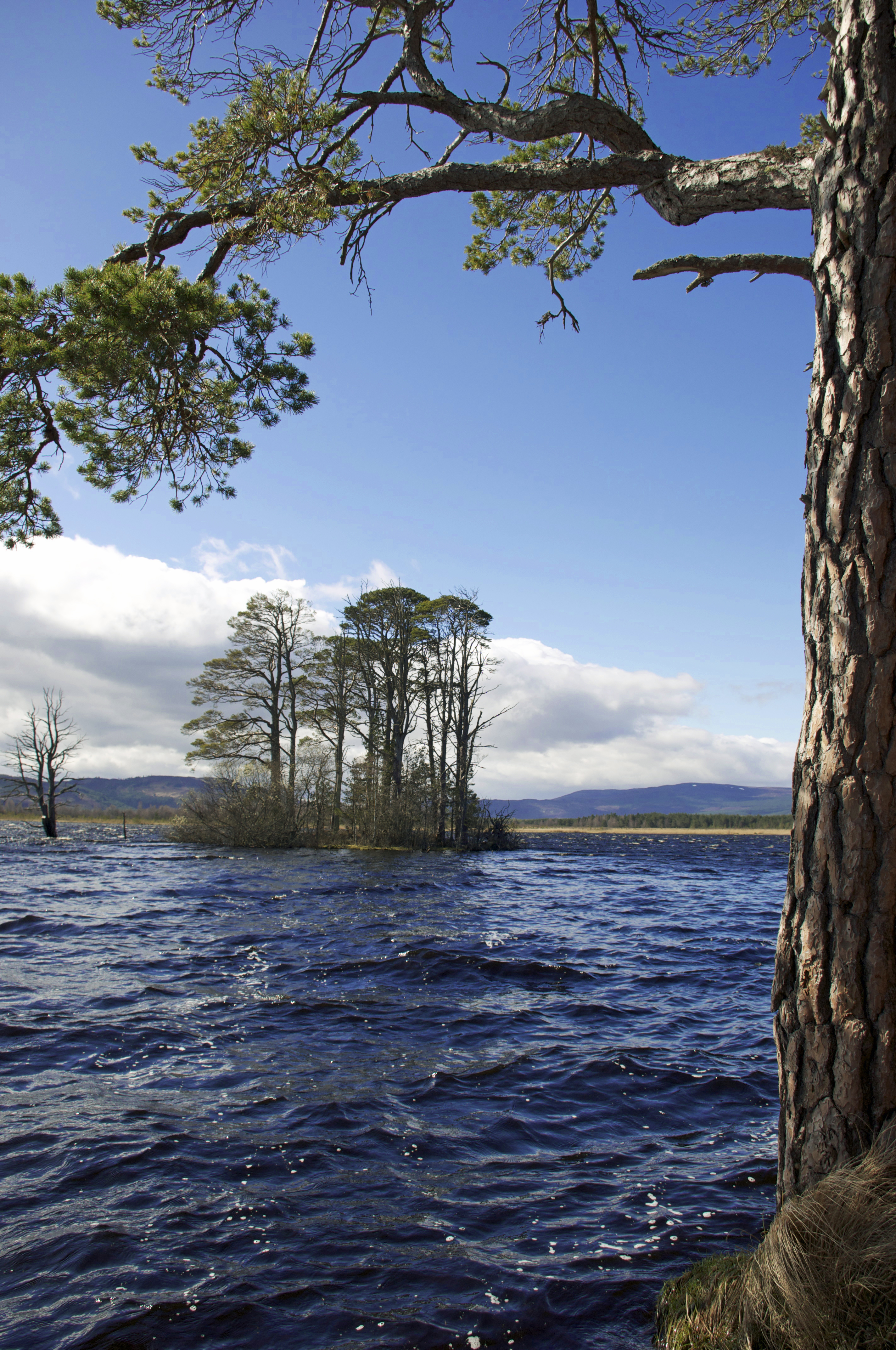
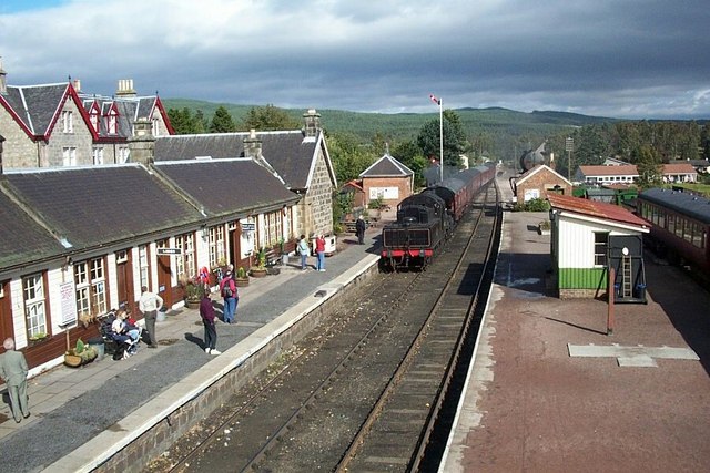
Cullachie Images

Images are sourced within 2km of 57.260636/-3.7032802 or Grid Reference NH9720. Thanks to Geograph Open Source API. All images are credited.

Bridge over the former GNSR railway line The Great North of Scotland railway company opened the section of line between Nethy bridge and Boat of Garten in 1866, presumably this bridge dates from around this time.
Bridge over the former GNSR railway line
The Great North of Scotland railway company opened the section of line between Nethy bridge and Boat of Garten in 1866, presumably this bridge dates from around this time.
Traffic on the A95 The A95 road is a major road of north-east Scotland. It runs for 62½ miles, connecting the A9 road near Aviemore in the Highlands to the A98 road near the coast.
Traffic on the A95
The A95 road is a major road of north-east Scotland. It runs for 62½ miles, connecting the A9 road near Aviemore in the Highlands to the A98 road near the coast.
A95, Spey Valley The A95 road is a major road of north-east Scotland. It runs for 62½ miles, connecting the A9 road near Aviemore in the Highlands to the A98 road near the coast.
A95, Spey Valley
The A95 road is a major road of north-east Scotland. It runs for 62½ miles, connecting the A9 road near Aviemore in the Highlands to the A98 road near the coast.
Lower Lagyie Farm
Lower Lagyie Farm
Power Lines at the Edge of the Abernethy Forest
B970, Abernethy Forest
B970 towards Nethy Bridge
Power Lines Crossing the B970
Power Lines over the B970 near Cullachie
B970 near Cullachie
B970 near Cullachie
Abernethy Forest near Cullachie
Gloomy Woodland The forest beside the Speyside Way <span class="nowrap"><a title="http://speysideway.co.uk/" rel="nofollow ugc noopener" href="http://speysideway.co.uk/">Link</a><img style="margin-left:2px;" alt="External link" title="External link - shift click to open in new window" src="https://s1.geograph.org.uk/img/external.png" width="10" height="10"/></span> here is dense enough to look gloomy, even if the sun had not gone behind a cloud.
Gloomy Woodland
The forest beside the Speyside Way LinkExternal link here is dense enough to look gloomy, even if the sun had not gone behind a cloud.
Speyside Way At this point the Speyside Way <span class="nowrap"><a title="http://speysideway.co.uk/" rel="nofollow ugc noopener" href="http://speysideway.co.uk/">Link</a><img style="margin-left:2px;" alt="External link" title="External link - shift click to open in new window" src="https://s1.geograph.org.uk/img/external.png" width="10" height="10"/></span> goes through some fairly dense forest, with birches on one side providing a splash of colour.
Speyside Way
At this point the Speyside Way LinkExternal link goes through some fairly dense forest, with birches on one side providing a splash of colour.
Tullochgorum viewed from passing train
Railway long gone now - closed late 1965
Former Railway This is part of the trackbed of the Strathspey Railway, looking from <a href="https://www.geograph.org.uk/photo/4751554">NH9820 : Bridge over the former GNSR railway line</a> towards Nethy Bridge.
Former Railway
This is part of the trackbed of the Strathspey Railway, looking from NH9820 : Bridge over the former GNSR railway line towards Nethy Bridge.
Railway Trackbed This section of the Strathspey Railway runs between the bridge over the River Nethy and the bridge over the River Spey. This is looking from <a href="https://www.geograph.org.uk/photo/4751554">NH9820 : Bridge over the former GNSR railway line</a> towards the river.
Railway Trackbed
This section of the Strathspey Railway runs between the bridge over the River Nethy and the bridge over the River Spey. This is looking from NH9820 : Bridge over the former GNSR railway line towards the river.
Drainage Ditch The flat land is part of the floodplain of the River Spey, and it evidently requires a lot of work to keep it drained as there is a network of ditches in the fields. No wonder an embankment was needed for the railway line.
Drainage Ditch
The flat land is part of the floodplain of the River Spey, and it evidently requires a lot of work to keep it drained as there is a network of ditches in the fields. No wonder an embankment was needed for the railway line.
Show me another place!

Cullachie is located at Grid Ref: NH9720 (Lat: 57.260636, Lng: -3.7032802)

Unitary Authority: Highland

Police Authority: Highlands and Islands

What 3 Words

///mothering.fixed.teamed. Near Grantown-on-Spey, Highland

Nearby Locations

Cullachie

Related Wikis

Loch Garten

Loch Garten (Scottish Gaelic: Loch a' Ghartain) is a large Highland freshwater loch near Boat of Garten, in the Strathspey area of the Cairngorms National...

Strathspey Railway (preserved)

The Strathspey Railway (SR) in Badenoch and Strathspey, Highland, Scotland, operates a ten-mile (16 km) heritage railway from Aviemore to Broomhill, Highland...

Boat of Garten

Boat of Garten (Scottish Gaelic: Coit a' Ghartain; originally: Garten) is a small village and post town in Badenoch and Strathspey, Highland, Scotland...

Drumuillie

Drumuillie (Scottish Gaelic: Druim Mùillidh) is a small hamlet (or Clachan), which lies 1 mile (1.6 km) north of Boat of Garten and 10 miles (16 km) northeast...

Nearby Amenities

Located within 500m of 57.260636,-3.7032802
Power: pole
Lat/Long: 57.2646127/-3.6995367
Power: pole
Lat/Long: 57.2644387/-3.7007664
Power: pole
Lat/Long: 57.2638482/-3.7013802
Power: pole
Lat/Long: 57.263208/-3.7020445
Power: pole
Lat/Long: 57.2628948/-3.702672
Power: pole
Lat/Long: 57.2625989/-3.7032421
Power: pole
Lat/Long: 57.262221/-3.7039777
Power: pole
Lat/Long: 57.2618618/-3.7046741
Power: pole
Lat/Long: 57.2611917/-3.705527
Power: pole
Lat/Long: 57.2606174/-3.7062533
Power: pole
Lat/Long: 57.2605018/-3.7075314
Power: pole
Lat/Long: 57.2603775/-3.7086071
Power: pole
Lat/Long: 57.2601972/-3.7100185
Power: pole
Lat/Long: 57.2600381/-3.7112989
The data included in this document is from www.openstreetmap.org. The data is made available under ODbL.

Have you been to Cullachie?

Leave your review of Cullachie below (or comments, questions and feedback).