Creich

Settlement in Fife

Scotland

Creich

Road by Creich Inexplicably part of the Fife Coast Path.
Road by Creich Credit: Richard Webb

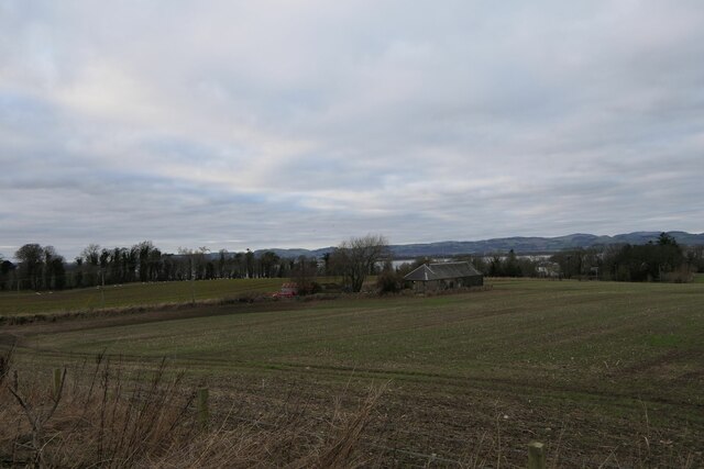
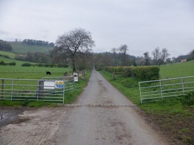
Creich is a small rural village located in the county of Fife, in the eastern part of Scotland. Situated about 6 miles northwest of the town of St Andrews, Creich is nestled amidst picturesque rolling hills and farmland. The village is characterized by its tranquil setting, offering residents and visitors a peaceful escape from the hustle and bustle of city life.

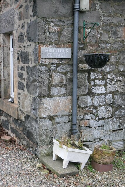
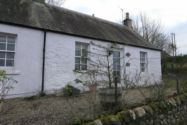
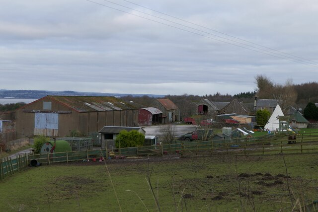
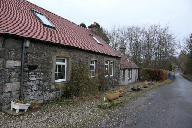
Creich is a tight-knit community with a population of around 300 people. The village features a mix of traditional stone-built houses and more modern dwellings, blending old-world charm with contemporary comfort. The village center is home to a few amenities, including a local pub, a small convenience store, and a post office, providing essential services to the community.

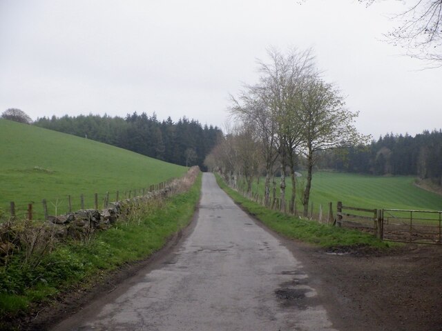
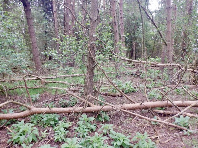
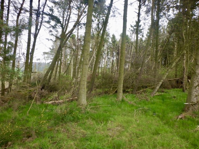
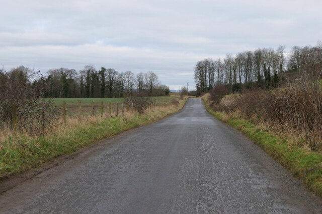
Surrounded by stunning natural beauty, Creich offers numerous opportunities for outdoor activities. The area is crisscrossed by a network of walking trails and paths, allowing residents and visitors to explore the scenic countryside. The nearby Letham Glen provides a serene environment for leisurely strolls and picnics, while the coastline, just a short drive away, offers sandy beaches and breathtaking views.

For those interested in history and culture, Creich is within easy reach of several notable landmarks. The historic town of St Andrews, renowned for its world-class golf courses and prestigious university, is a popular destination for tourists and locals alike. Additionally, the imposing Falkland Palace, a former royal residence dating back to the 16th century, is located nearby and offers a fascinating glimpse into Scotland's rich heritage.

Overall, Creich is a charming village that embraces its rural surroundings, offering a tranquil and idyllic lifestyle for its residents, while providing access to nearby amenities and cultural attractions.

If you have any feedback on the listing, please let us know in the comments section below.
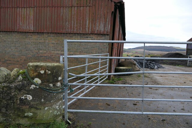
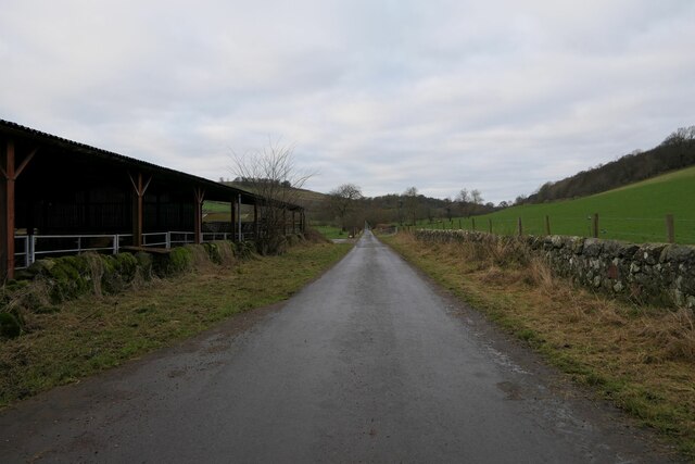
Creich Images

Images are sourced within 2km of 56.379847/-3.0899929 or Grid Reference NO3221. Thanks to Geograph Open Source API. All images are credited.

Road by Creich Inexplicably part of the Fife Coast Path.
Road by Creich
Inexplicably part of the Fife Coast Path.
Summit area, Starr Law
Windthrow A strip wood on the slopes of Starr Law.
Windthrow
A strip wood on the slopes of Starr Law.
Well at West Flisk There is an Ordnance Survey benchmark on the right hand side of this former well. See also <a href="https://www.geograph.org.uk/photo/7687230">NO3122 : Benchmark on well at West Flisk</a>.
Well at West Flisk
There is an Ordnance Survey benchmark on the right hand side of this former well. See also NO3122 : Benchmark on well at West Flisk.
Benchmark on well at West Flisk Ordnance Survey benchmark. For database entry, see <span class="nowrap"><a title="https://www.bench-marks.org.uk/bm211339" rel="nofollow ugc noopener" href="https://www.bench-marks.org.uk/bm211339">Link</a><img style="margin-left:2px;" alt="External link" title="External link - shift click to open in new window" src="https://s1.geograph.org.uk/img/external.png" width="10" height="10"/></span>.  See also <a href="https://www.geograph.org.uk/photo/7687227">NO3122 : Well at West Flisk</a>.
Benchmark on well at West Flisk
Ordnance Survey benchmark. For database entry, see LinkExternal link. See also NO3122 : Well at West Flisk.
Benchmark location, East Flisk This benchmark took quite a bit of finding.  We covered it back up as best we could once we had photographed it.  The original stone has been dislodged and the benchmark is lying on its side.
Benchmark location, East Flisk
This benchmark took quite a bit of finding. We covered it back up as best we could once we had photographed it. The original stone has been dislodged and the benchmark is lying on its side.
Forester's Cottage sign There is an Ordnance Survey benchmark just visible on photo on large stone between house sign and plant pot.
Forester's Cottage sign
There is an Ordnance Survey benchmark just visible on photo on large stone between house sign and plant pot.
Balhelvie Cottage There is an Ordnance Survey benchmark on this cottage, just above fence line to the right of the drainpipe in this photo. See also <a href="https://www.geograph.org.uk/photo/7687265">NO3021 : Benchmark, Balhelvie Cottages</a>.
Balhelvie Cottage
There is an Ordnance Survey benchmark on this cottage, just above fence line to the right of the drainpipe in this photo. See also NO3021 : Benchmark, Balhelvie Cottages.
West Flisk
West Flisk
East Flisk Farm On south side of River Tay.
East Flisk Farm
On south side of River Tay.
Benchmark on Forester's Cottage, Hazelton Walls Ordnance Survey benchmark, described on database at <span class="nowrap"><a title="https://www.bench-marks.org.uk/bm37777" rel="nofollow ugc noopener" href="https://www.bench-marks.org.uk/bm37777">Link</a><img style="margin-left:2px;" alt="External link" title="External link - shift click to open in new window" src="https://s1.geograph.org.uk/img/external.png" width="10" height="10"/></span>.
Benchmark on Forester's Cottage, Hazelton Walls
Ordnance Survey benchmark, described on database at LinkExternal link.
Ordnance Survey benchmark on fallen stone, East Flisk Described on database at <span class="nowrap"><a title="https://www.bench-marks.org.uk/bm211340" rel="nofollow ugc noopener" href="https://www.bench-marks.org.uk/bm211340">Link</a><img style="margin-left:2px;" alt="External link" title="External link - shift click to open in new window" src="https://s1.geograph.org.uk/img/external.png" width="10" height="10"/></span>.  See also <a href="https://www.geograph.org.uk/photo/7687235">NO3222 : Benchmark location, East Flisk</a>.
Ordnance Survey benchmark on fallen stone, East Flisk
Described on database at LinkExternal link. See also NO3222 : Benchmark location, East Flisk.
Benchmark, Balhelvie Cottages Ordnance Survey benchmark, described on database at <span class="nowrap"><a title="https://www.bench-marks.org.uk/bm211338" rel="nofollow ugc noopener" href="https://www.bench-marks.org.uk/bm211338">Link</a><img style="margin-left:2px;" alt="External link" title="External link - shift click to open in new window" src="https://s1.geograph.org.uk/img/external.png" width="10" height="10"/></span>.  See also <a href="https://www.geograph.org.uk/photo/7687247">NO3021 : Balhelvie Cottage</a>.
Benchmark, Balhelvie Cottages
Ordnance Survey benchmark, described on database at LinkExternal link. See also NO3021 : Balhelvie Cottage.
Road leading north-east from Balhelvie
Forester's Cottage, Hazelton Walls There is an Ordnance Survey benchmark on this cottage. See <a href="https://www.geograph.org.uk/photo/7687257">NO3321 : Benchmark on Forester's Cottage, Hazelton Walls</a>.
Forester's Cottage, Hazelton Walls
There is an Ordnance Survey benchmark on this cottage. See NO3321 : Benchmark on Forester's Cottage, Hazelton Walls.
Carphin drive At Lower Luthrie.
Carphin drive
At Lower Luthrie.
Gate and gatepost, Lower Luthrie Farm There is a rivet benchmark on this old gatepost. See also <a href="https://www.geograph.org.uk/photo/7687263">NO3319 : Rivet bencmark on gatepost, Lower Luthrie Farm</a>.
Gate and gatepost, Lower Luthrie Farm
There is a rivet benchmark on this old gatepost. See also NO3319 : Rivet bencmark on gatepost, Lower Luthrie Farm.
Road west at Lower Luthrie Farm
Show me another place!

Creich is located at Grid Ref: NO3221 (Lat: 56.379847, Lng: -3.0899929)

Unitary Authority: Fife

Police Authority: Fife

What 3 Words

///warthog.revamping.relies. Near Errol, Perth & Kinross

Nearby Locations

Creich Criech Green Craig

Related Wikis

Creich, Fife

Creich (Scottish Gaelic: Craoich, pronounced [kʰɾɯːç]; OS: Criech), is a hamlet in Fife, Scotland.The local parish is named after Creich. The ruins of...

Flisk

Flisk (Scottish Gaelic: Fleasg meaning "Stalk" or "Rod") was a parish in Fife, Scotland. According to the 1853 Gazetteer, in part: "Flisk parish is bounded...

Luthrie

Luthrie is a village in the parish of Creich in Fife, Scotland. A small stream shown on maps as Windygates Burn (but known locally as Luthrie Burn) flows...

Birkhill Castle

Birkhill Castle is a stately home, the residence of the Earl of Dundee, located on the banks of the River Tay, a short drive from St. Andrews. The castle...

Norman's Law

Norman's Law is a prominent hill at the far eastern end of the Ochil Fault, Scotland. It sits above the south bank of the River Tay, around four miles...

Luthrie railway station

Luthrie railway station served the village of Luthrie, Fife, Scotland from 1909 to 1951 on the Newburgh and North Fife Railway. == History == The station...

Parbroath Castle

Parbroath Castle is a ruined castle which was the former seat of Clan Seton near Parbroath farm, Creich, Fife, Scotland. Only a portion of a vault standing...

Lordscairnie Castle

Lordscairnie Castle is a ruin situated near Moonzie, 2.5 miles (4.0 km) north-east of Cupar, in Fife, Scotland. It is protected as a scheduled monument...

Nearby Amenities

Located within 500m of 56.379847,-3.0899929
Black Craig
Ele: 203
Natural: peak
Source: npe
Lat/Long: 56.3828978/-3.086876
Power: pole
Lat/Long: 56.3777185/-3.0968959
Power: pole
Lat/Long: 56.3780941/-3.0958949
Power: pole
Lat/Long: 56.3785007/-3.0948441
Power: pole
Lat/Long: 56.3788832/-3.0938058
Power: pole
Lat/Long: 56.3792645/-3.0927262
Power: pole
Lat/Long: 56.379323/-3.0913714
Power: pole
Lat/Long: 56.3794008/-3.0900146
Power: pole
Lat/Long: 56.3797593/-3.0900311
Power: pole
Lat/Long: 56.3800742/-3.0898615
Power: pole
Lat/Long: 56.3807212/-3.0894872
Power: pole
Lat/Long: 56.3813534/-3.0890983
Power: pole
Lat/Long: 56.3816523/-3.0881986
Power: pole
Lat/Long: 56.3820141/-3.0870693
Power: pole
Lat/Long: 56.3823164/-3.0860806
Power: pole
Lat/Long: 56.3826634/-3.0849678
Generator Method: photovoltaic
Generator Output Electricity: yes
Generator Source: solar
Generator Type: solar_photovoltaic_panel
Power: generator
Lat/Long: 56.3779084/-3.0917759
The data included in this document is from www.openstreetmap.org. The data is made available under ODbL.

Have you been to Creich?

Leave your review of Creich below (or comments, questions and feedback).