Criech

Settlement in Fife

Scotland

Criech

Road by Creich Inexplicably part of the Fife Coast Path.
Road by Creich Credit: Richard Webb

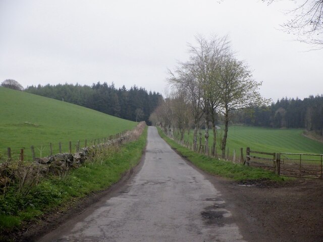
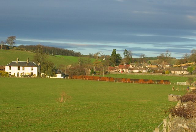
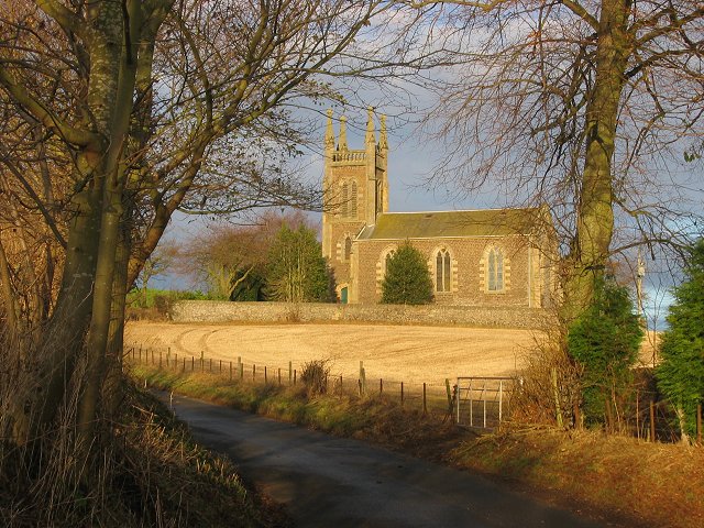
Criech is a small rural village located in the county of Fife, Scotland. Situated approximately 8 miles northwest of the town of Cupar, Criech is nestled amidst picturesque countryside, boasting stunning views of rolling hills and farmland. The village is part of the civil parish of Monimail.

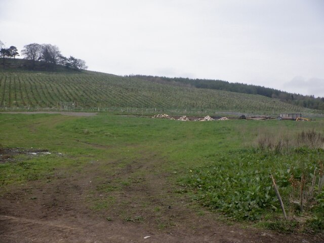
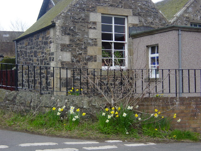
Criech is primarily an agricultural community, with farming playing a vital role in the local economy. The village is characterized by a cluster of charming traditional stone cottages and a few modern houses. Its quaint and tranquil atmosphere makes it an attractive destination for those seeking a peaceful retreat away from the hustle and bustle of city life.

Despite its small size, Criech is well-connected to nearby towns and cities. The village is conveniently located along the A91 road, which provides easy access to Cupar, St. Andrews, and beyond. Public transportation options are limited, with infrequent bus services passing through the village.

While Criech itself does not have many amenities, residents have access to basic facilities in nearby towns. Cupar, the closest major town, offers a wider range of services including shopping centers, schools, healthcare facilities, and leisure activities.

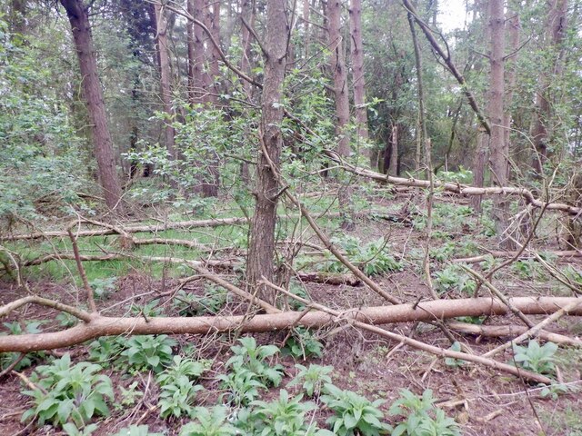
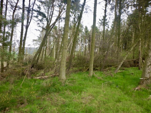
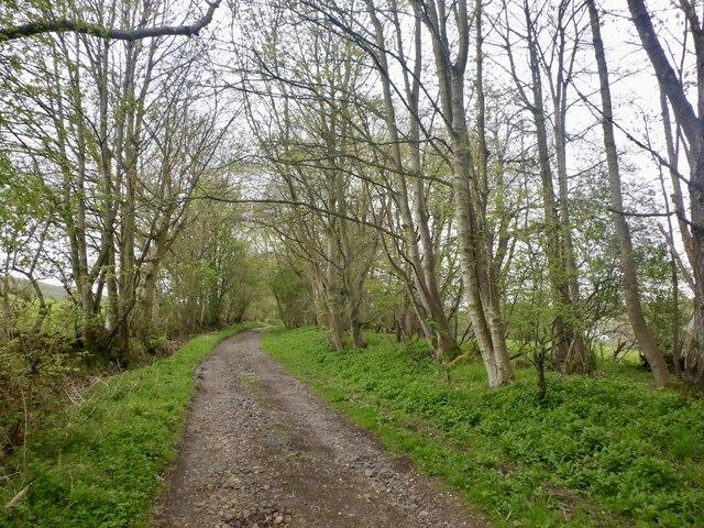
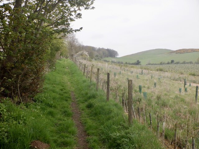
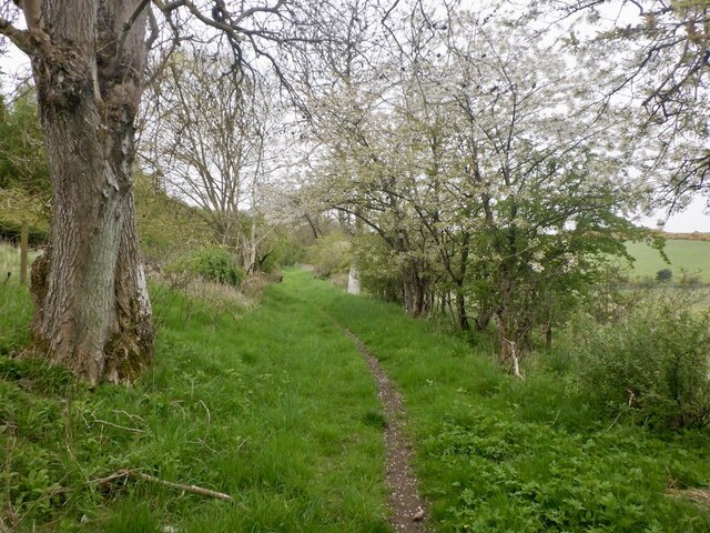
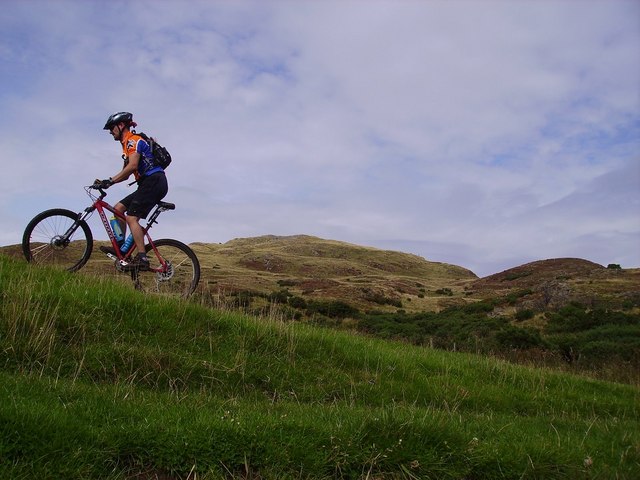
For outdoor enthusiasts, Criech offers an abundance of scenic walking trails and cycling routes in the surrounding countryside. The area is also known for its rich wildlife, with various species of birds and small mammals inhabiting the nearby woodland areas.

Overall, Criech is a peaceful and idyllic village, offering residents a serene rural lifestyle amidst the beauty of the Scottish countryside.

If you have any feedback on the listing, please let us know in the comments section below.

Criech Images

Images are sourced within 2km of 56.376384/-3.1026211 or Grid Reference NO3221. Thanks to Geograph Open Source API. All images are credited.

Road by Creich Inexplicably part of the Fife Coast Path.
Road by Creich
Inexplicably part of the Fife Coast Path.
Summit area, Starr Law
Windthrow A strip wood on the slopes of Starr Law.
Windthrow
A strip wood on the slopes of Starr Law.
Carphin drive At Lower Luthrie.
Carphin drive
At Lower Luthrie.
Road to Wester Kinsleith Carries on as a path beyond Wester Kinsleith.
Road to Wester Kinsleith
Carries on as a path beyond Wester Kinsleith.
Young trees, Prospect Hill A young, mostly spruce plantation.
Young trees, Prospect Hill
A young, mostly spruce plantation.
Path to Ayton At Wester Kinsleith
Path to Ayton
At Wester Kinsleith
Path to Ayton
Path to Ayton
Luthrie Village and farmland.
Luthrie
Village and farmland.
Creich Kirk. The church is outside the village of Luthrie, above it to the north. Built to replace the now ruined church to the north.
Creich Kirk.
The church is outside the village of Luthrie, above it to the north. Built to replace the now ruined church to the north.
Small wood, Black Craig. This is a surviving remnant of a larger wood, felled many years ago. The surrounding moorland has many stumps.
Small wood, Black Craig.
This is a surviving remnant of a larger wood, felled many years ago. The surrounding moorland has many stumps.
Norman's Law. Southern slopes of Norman's Law. A complicated mix of craggy knolls and marshy reentrants. Mostly grass, close cropped heather and whin. Grazed by cattle in summer.
Norman's Law.
Southern slopes of Norman's Law. A complicated mix of craggy knolls and marshy reentrants. Mostly grass, close cropped heather and whin. Grazed by cattle in summer.
South Side of the Law A fine grassy path skirts the south side, eventually forming into a minor road to Ayton Smiddy.
South Side of the Law
A fine grassy path skirts the south side, eventually forming into a minor road to Ayton Smiddy.
Creich School Luthrie
Creich Church Serving the villages of Luthrie and Brunton in Fife.
Creich Church
Serving the villages of Luthrie and Brunton in Fife.
Arable and grazing north of Luthrie In Fife.
Arable and grazing north of Luthrie
In Fife.
Housing, Luthrie A small estate of bungalows with a K6 type telephone box on the corner.
Housing, Luthrie
A small estate of bungalows with a K6 type telephone box on the corner.
Bench Mark, Creich Church The bench mark is on the west wall of the church.  For a view of the church <a href="https://www.geograph.org.uk/photo/2185270">NO3219 : Creich Church</a> and for further information on the bench mark <span class="nowrap"><a title="http://www.bench-marks.org.uk/bm36179" rel="nofollow ugc noopener" href="http://www.bench-marks.org.uk/bm36179">Link</a><img style="margin-left:2px;" alt="External link" title="External link - shift click to open in new window" src="https://s1.geograph.org.uk/img/external.png" width="10" height="10"/></span>
Bench Mark, Creich Church
The bench mark is on the west wall of the church. For a view of the church NO3219 : Creich Church and for further information on the bench mark LinkExternal link
Show me another place!

Criech is located at Grid Ref: NO3221 (Lat: 56.376384, Lng: -3.1026211)

Unitary Authority: Fife

Police Authority: Fife

What 3 Words

///makeovers.training.shares. Near Errol, Perth & Kinross

Nearby Locations

Creich Criech Green Craig

Related Wikis

Creich, Fife

Creich (Scottish Gaelic: Craoich, pronounced [kʰɾɯːç]; OS: Criech), is a hamlet in Fife, Scotland.The local parish is named after Creich. The ruins of...

Flisk

Flisk (Scottish Gaelic: Fleasg meaning "Stalk" or "Rod") was a parish in Fife, Scotland. According to the 1853 Gazetteer, in part: "Flisk parish is bounded...

Norman's Law

Norman's Law is a prominent hill at the far eastern end of the Ochil Fault, Scotland. It sits above the south bank of the River Tay, around four miles...

Luthrie

Luthrie is a village in the parish of Creich in Fife, Scotland. A small stream shown on maps as Windygates Burn (but known locally as Luthrie Burn) flows...

Luthrie railway station

Luthrie railway station served the village of Luthrie, Fife, Scotland from 1909 to 1951 on the Newburgh and North Fife Railway. == History == The station...

Birkhill Castle

Birkhill Castle is a stately home, the residence of the Earl of Dundee, located on the banks of the River Tay, a short drive from St. Andrews. The castle...

Parbroath Castle

Parbroath Castle is a ruined castle which was the former seat of Clan Seton near Parbroath farm, Creich, Fife, Scotland. Only a portion of a vault standing...

Inner Tay Estuary

The Inner Tay Estuary is the inner, western part of the Firth of Tay, from the Tay Railway Bridge in the east to the Queen's Bridge over the River Tay...

Nearby Amenities

Located within 500m of 56.376384,-3.1026211
Craigsimmie
Ele: 161
Natural: peak
Source: npe
Lat/Long: 56.3789595/-3.1049511
Brunton
Place: hamlet
Lat/Long: 56.3751503/-3.098171
Telephone
Lat/Long: 56.3749206/-3.0990372
Post Box
Post Box Type: wall
Ref: KY15 297
Royal Cypher: GVIR
Lat/Long: 56.3749206/-3.0990882
Power: pole
Lat/Long: 56.3770565/-3.1097134
Power: pole
Lat/Long: 56.3772363/-3.1085531
Power: pole
Lat/Long: 56.3774115/-3.1073617
Power: pole
Lat/Long: 56.3773165/-3.1064268
Power: pole
Lat/Long: 56.377163/-3.1051238
Power: pole
Lat/Long: 56.377029/-3.1038745
Power: pole
Lat/Long: 56.3768755/-3.1025735
Power: pole
Lat/Long: 56.3767312/-3.1012601
Power: pole
Lat/Long: 56.3765846/-3.0999385
Power: pole
Lat/Long: 56.3769809/-3.0988526
Power: pole
Lat/Long: 56.3773222/-3.0979611
Power: pole
Lat/Long: 56.3777185/-3.0968959
Power: pole
Lat/Long: 56.3780941/-3.0958949
The data included in this document is from www.openstreetmap.org. The data is made available under ODbL.

Have you been to Criech?

Leave your review of Criech below (or comments, questions and feedback).