Craigdallie

Settlement in Perthshire

Scotland

Craigdallie

Kinnaird Hill Trig Point Flush Bracket S4772
Kinnaird Hill Trig Point Flush Bracket S4772 Credit: thejackrustles

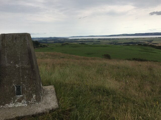
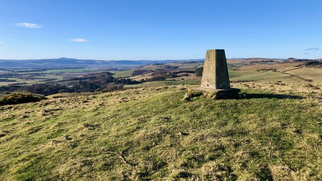
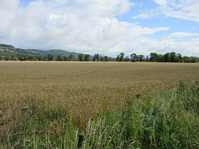
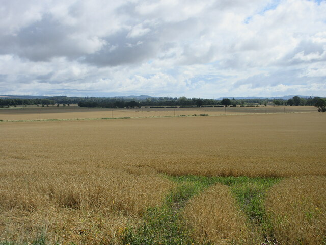
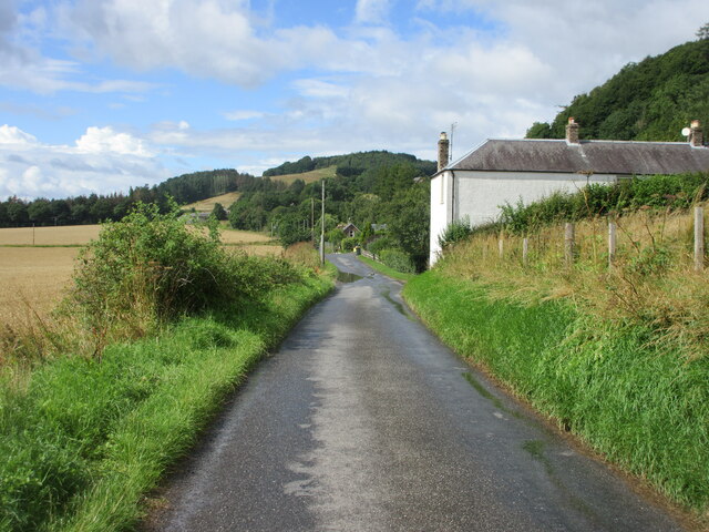
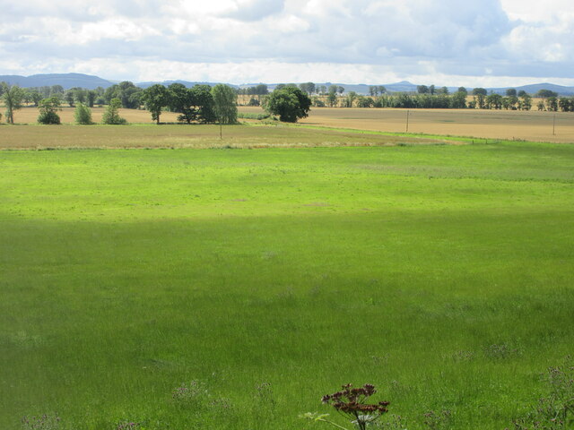
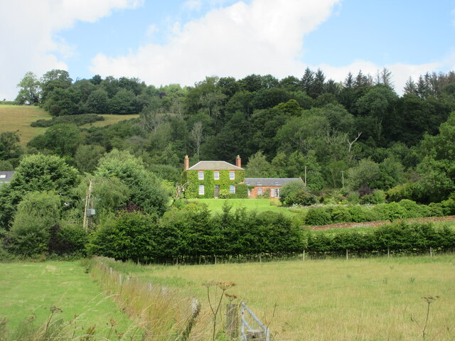
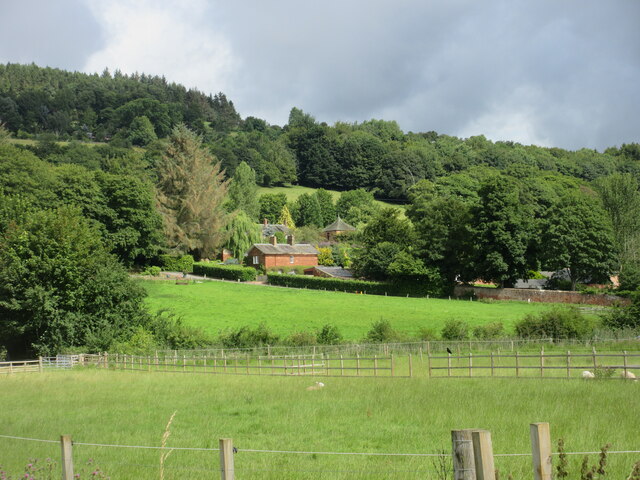
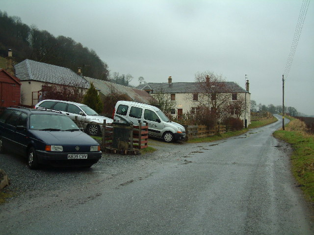
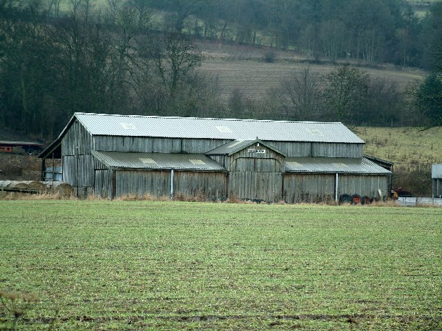
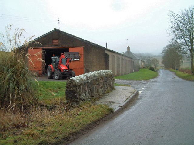
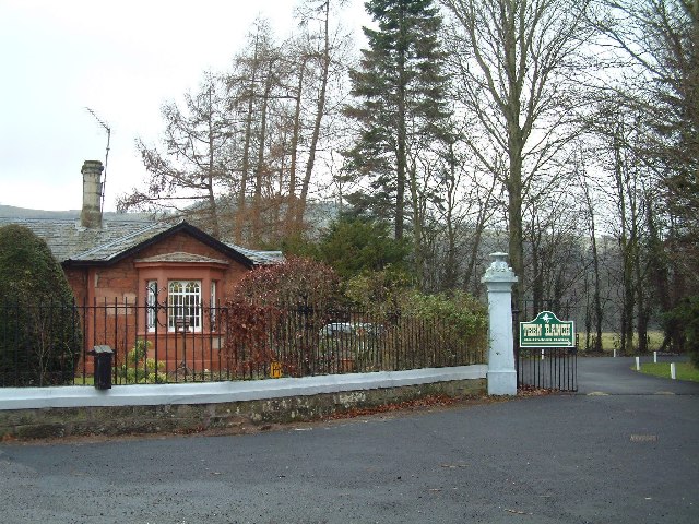
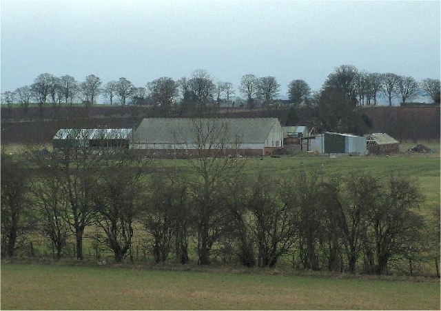
Craigdallie is a small village located in Perthshire, Scotland. Situated near the River Tay, Craigdallie is known for its picturesque countryside and tranquil surroundings. The village is surrounded by rolling hills and lush green fields, making it a popular destination for outdoor enthusiasts and nature lovers.

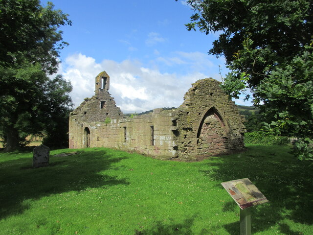
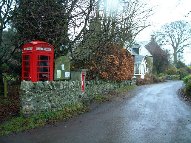
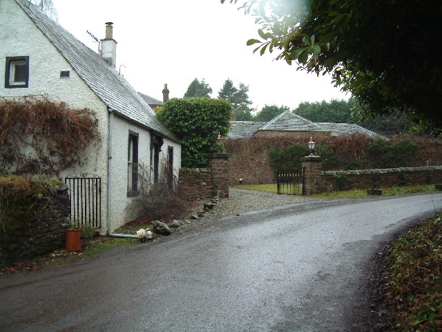
Craigdallie has a rich history dating back to the medieval period, with several historic buildings and landmarks still standing in the village today. The village is home to a number of traditional stone cottages and farmhouses, giving it a charming and quaint atmosphere.

Despite its small size, Craigdallie has a close-knit community and a strong sense of local pride. The village has a few amenities, including a local pub, a small shop, and a community hall where residents gather for events and social gatherings.

Overall, Craigdallie offers a peaceful and idyllic setting for those looking to escape the hustle and bustle of city life and enjoy the beauty of the Scottish countryside.

If you have any feedback on the listing, please let us know in the comments section below.

Craigdallie Images

Images are sourced within 2km of 56.449562/-3.2181914 or Grid Reference NO2529. Thanks to Geograph Open Source API. All images are credited.

Kinnaird Hill Trig Point Flush Bracket S4772
Direction Sign – Signpost at Westmill, near Kinnaird Located on the southeast side of the crossroads at Westmill, south of Kinnaird. Perth and Kinross. 1 arm and ball finial. Canmore have this recorded as 19C <span class="nowrap"><a title="https://canmore.org.uk/site/369362/westmill#mycanmore-text-fragment" rel="nofollow ugc noopener" href="https://canmore.org.uk/site/369362/westmill#mycanmore-text-fragment">Link</a><img style="margin-left:2px;" alt="External link" title="External link - shift click to open in new window" src="https://s1.geograph.org.uk/img/external.png" width="10" height="10"/></span>.

Milestone Society National ID: PR_NO2428
Direction Sign – Signpost at Westmill, near Kinnaird
Located on the southeast side of the crossroads at Westmill, south of Kinnaird. Perth and Kinross. 1 arm and ball finial. Canmore have this recorded as 19C LinkExternal link. Milestone Society National ID: PR_NO2428
Trig point
Trig point
Remains of Westown Church The ruined church of Westown, viewed from within the churchyard.
Remains of Westown Church
The ruined church of Westown, viewed from within the churchyard.
Field of wheat south of Kinnaird Looking eastwards over a field of wheat in the Carse of Gowrie south of Kinnaird.
Field of wheat south of Kinnaird
Looking eastwards over a field of wheat in the Carse of Gowrie south of Kinnaird.
Field of wheat near Kinnaird Looking east over a vast field of wheat towards Dundee, from the crossroads at Kinnaird.
Field of wheat near Kinnaird
Looking east over a vast field of wheat towards Dundee, from the crossroads at Kinnaird.
High Carse Road at Craigdallie The C401 (Perth and Kinross) High Carse Road heading west at Craigdallie.
High Carse Road at Craigdallie
The C401 (Perth and Kinross) High Carse Road heading west at Craigdallie.
Grass field near Ballindean Looking from the High Carse Road down on a grass field to the west of Ballindean.
Grass field near Ballindean
Looking from the High Carse Road down on a grass field to the west of Ballindean.
Ivy-clad house at Easter Ballindean Looking north from the High Carse Road to an ivy-clad frontage at Easter Ballindean.
Ivy-clad house at Easter Ballindean
Looking north from the High Carse Road to an ivy-clad frontage at Easter Ballindean.
Ballindean Estate Looking northwards from the High Carse Road to buildings and dwellings on the Ballindean Estate at the foot of the Braes of the Carse.
Ballindean Estate
Looking northwards from the High Carse Road to buildings and dwellings on the Ballindean Estate at the foot of the Braes of the Carse.
Carse of Gowrie towards Dundee Taken from the site if Pitmiddle village - abandoned in the 1930s.
Carse of Gowrie towards Dundee
Taken from the site if Pitmiddle village - abandoned in the 1930s.
Kinnaird village centre With the phone box, notice board and post box it just has to be the centre!
Kinnaird village centre
With the phone box, notice board and post box it just has to be the centre!
Cottage in Kinnaird Kinnaird is a tiny isolated village in the Braes of the Carse
Cottage in Kinnaird
Kinnaird is a tiny isolated village in the Braes of the Carse
Craigdallie Village houses (and cars) on a dreich day
Craigdallie
Village houses (and cars) on a dreich day
Ballindean Farm
Ballindean Farm
Southfield Farm The bridge crosses a small burn
Southfield Farm
The bridge crosses a small burn
Gatehouse to Ballindean Estate "Teen Ranch" is located in the grounds of Ballindean Estate
Gatehouse to Ballindean Estate
"Teen Ranch" is located in the grounds of Ballindean Estate
Charlestown Farm Viewed from the road along the foot of the Brae of the Carse
Charlestown Farm
Viewed from the road along the foot of the Brae of the Carse
Show me another place!

Craigdallie is located at Grid Ref: NO2529 (Lat: 56.449562, Lng: -3.2181914)

Unitary Authority: Perth and Kinross

Police Authority: Tayside

What 3 Words

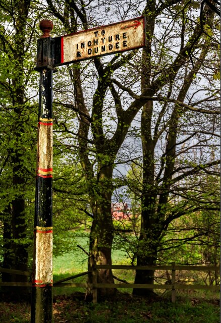
///gloom.quote.downfield. Near Inchture, Perth & Kinross

Nearby Locations

Ballindean Craigdallie

Related Wikis

Kinnaird, Gowrie

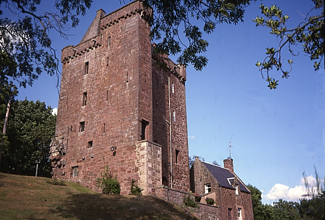
Kinnaird (Scottish Gaelic: An Ceann Àrd, "high headland") is a village in Gowrie, Perthshire, Scotland. It is notable for its 15th-century castle. The...

Gowrie

Gowrie (Scottish Gaelic: Gobharaidh) is a region in central Scotland and one of the original provinces of the Kingdom of Alba. It covered the eastern part...

Abernyte

Abernyte is a small village in Perth and Kinross in Scotland. == Geography == The village lies roughly 2 miles (3 kilometres) northwest of the former Inchture...

Inchture Village railway station

Inchture Village railway station was a railway station in the village of Inchture, Perthshire, Scotland. The Inchture Railway Bus service operated a service...

Nearby Amenities

Located within 500m of 56.449562,-3.2181914
Craigdallie
Place: hamlet
Lat/Long: 56.4453081/-3.2177278
Power: pole
Lat/Long: 56.4451766/-3.2196157
Power: pole
Lat/Long: 56.4482819/-3.2206676
Power: pole
Lat/Long: 56.4486239/-3.2199007
Power: pole
Lat/Long: 56.4492796/-3.2184558
Power: pole
Lat/Long: 56.4460326/-3.2193414
Power: pole
Lat/Long: 56.4474787/-3.2187207
The data included in this document is from www.openstreetmap.org. The data is made available under ODbL.

Have you been to Craigdallie?

Leave your review of Craigdallie below (or comments, questions and feedback).