Coslany
Settlement in Norfolk Norwich
England
Coslany
Coslany is a small village located in the county of Norfolk, in the East of England. Situated approximately 8 miles west of the city of Norwich, the village is nestled in a rural landscape renowned for its picturesque beauty. With a population of around 300 residents, Coslany exudes a tranquil and close-knit atmosphere that appeals to those seeking a peaceful retreat from the bustling city life.
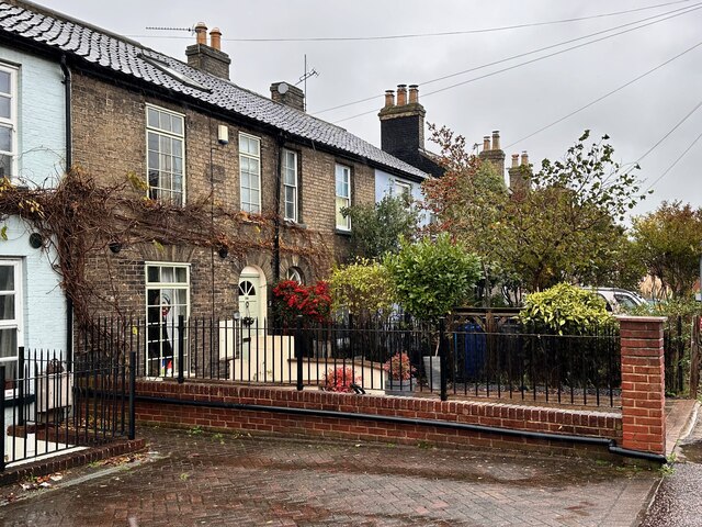
The village is characterized by its charming cottages, many of which date back to the 18th and 19th centuries, adding to the traditional ambiance of the area. The architecture reflects the agricultural heritage of the region, with some buildings still retaining original features such as thatched roofs and exposed timber beams.
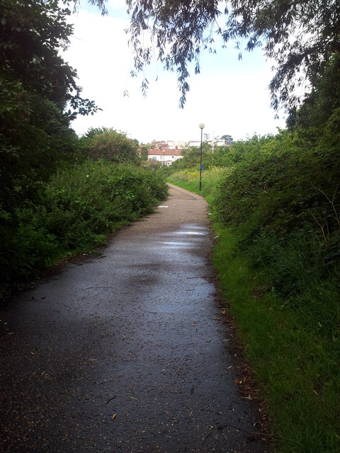
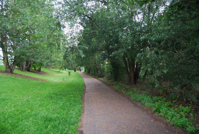
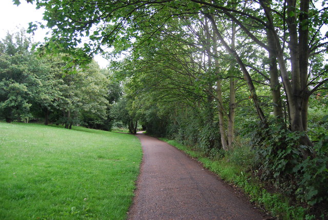
Coslany is surrounded by vast expanses of lush green fields and meadows, making it an ideal haven for nature lovers and outdoor enthusiasts. The nearby River Wensum, which winds its way through the village, offers opportunities for fishing and leisurely walks along its serene banks.
Although small in size, Coslany boasts a strong sense of community spirit, with several social events and gatherings held throughout the year. These include fairs, village fetes, and local sporting competitions, fostering a sense of unity among residents.
For those seeking amenities and services, the nearby city of Norwich provides a range of options including shops, restaurants, and cultural attractions. Coslany offers a peaceful countryside lifestyle, combined with convenient access to urban amenities, making it an attractive destination for both residents and visitors alike.
If you have any feedback on the listing, please let us know in the comments section below.
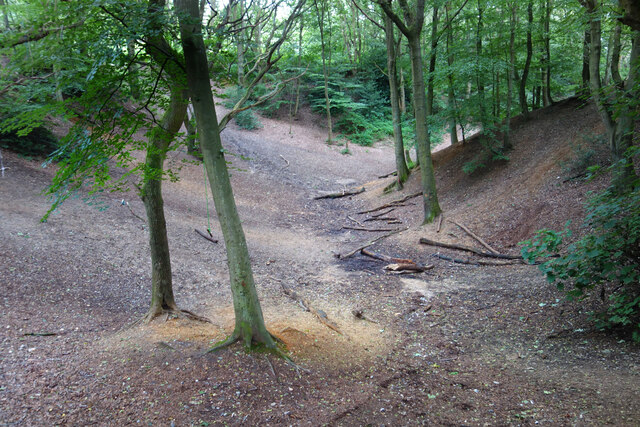
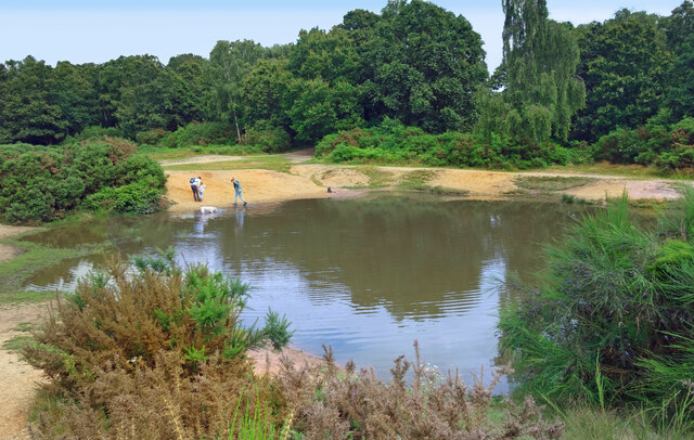
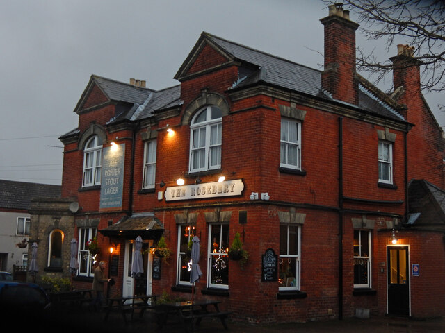
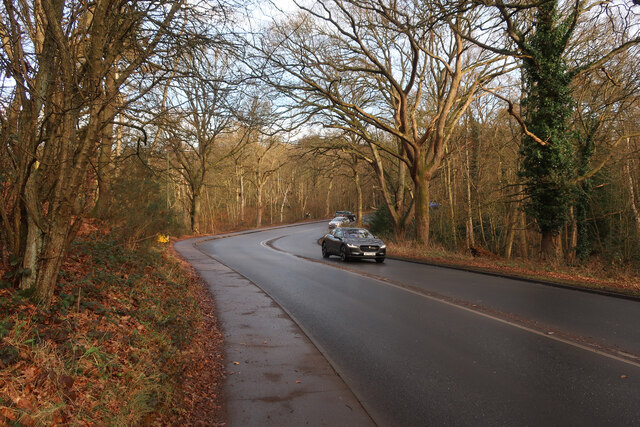
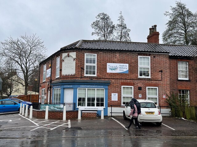
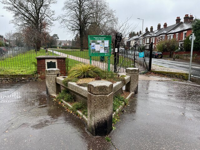
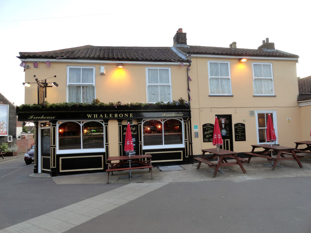
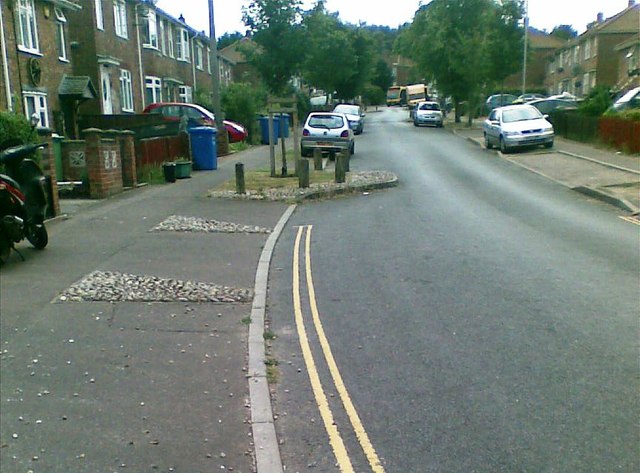
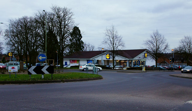
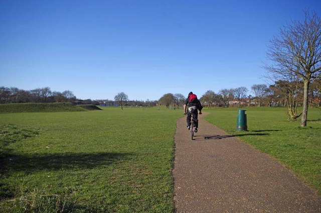
Coslany Images
Images are sourced within 2km of 52.634118/1.2921348 or Grid Reference TG2209. Thanks to Geograph Open Source API. All images are credited.


Coslany is located at Grid Ref: TG2209 (Lat: 52.634118, Lng: 1.2921348)
Administrative County: Norfolk
District: Norwich
Police Authority: Norfolk
What 3 Words
///potato.festivity.teach. Near Norwich, Norfolk
Nearby Locations
Related Wikis
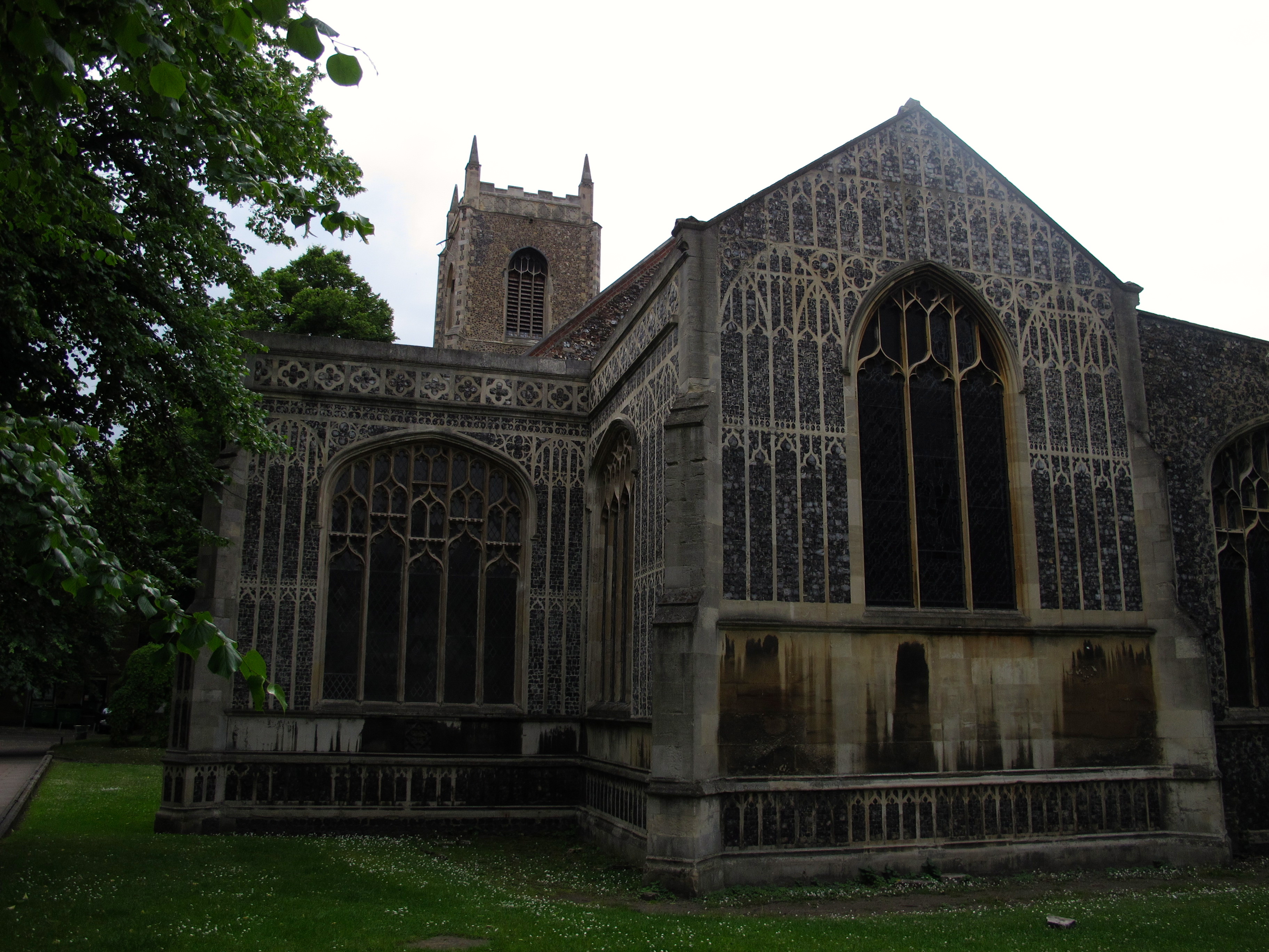
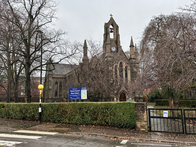
St Michael Coslany, Norwich
St Michael (St Miles) Coslany, Norwich is a Grade I listed redundant parish church in the Church of England in Norwich. The building is located on Coslany...
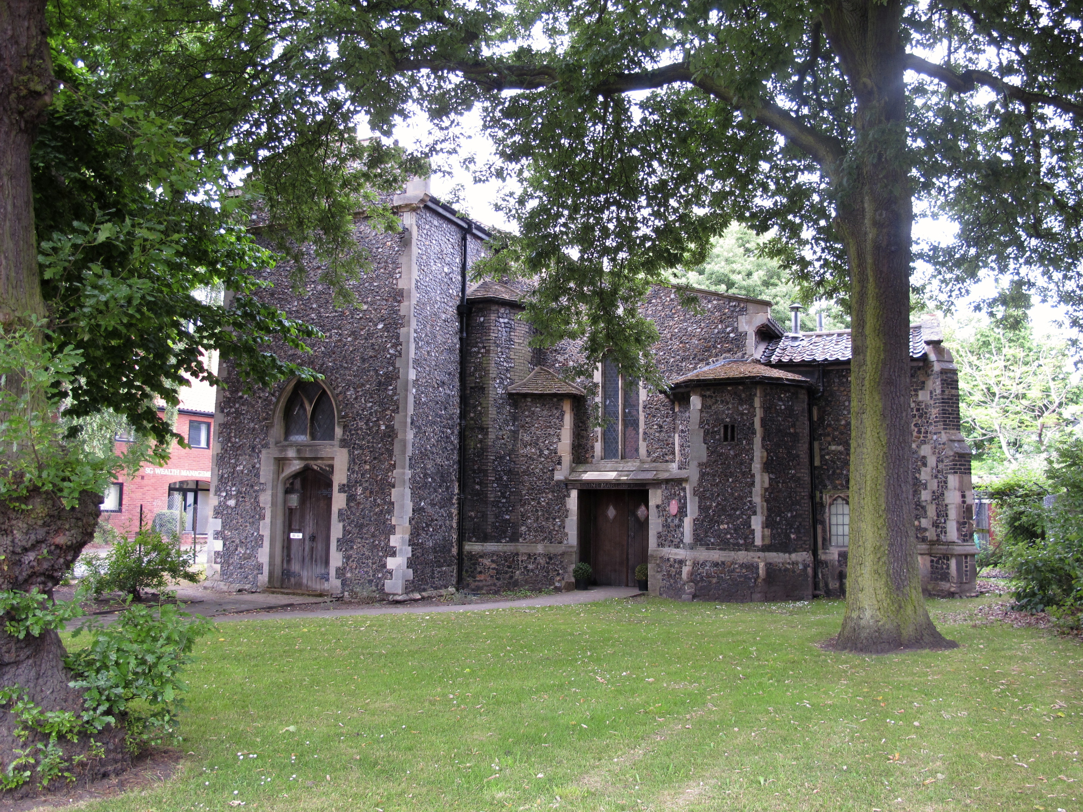
St Martin at Oak, Norwich
St Martin at Oak, Norwich is a Grade I listed redundant parish church in the Church of England in Norwich. == History == The church is medieval dating...
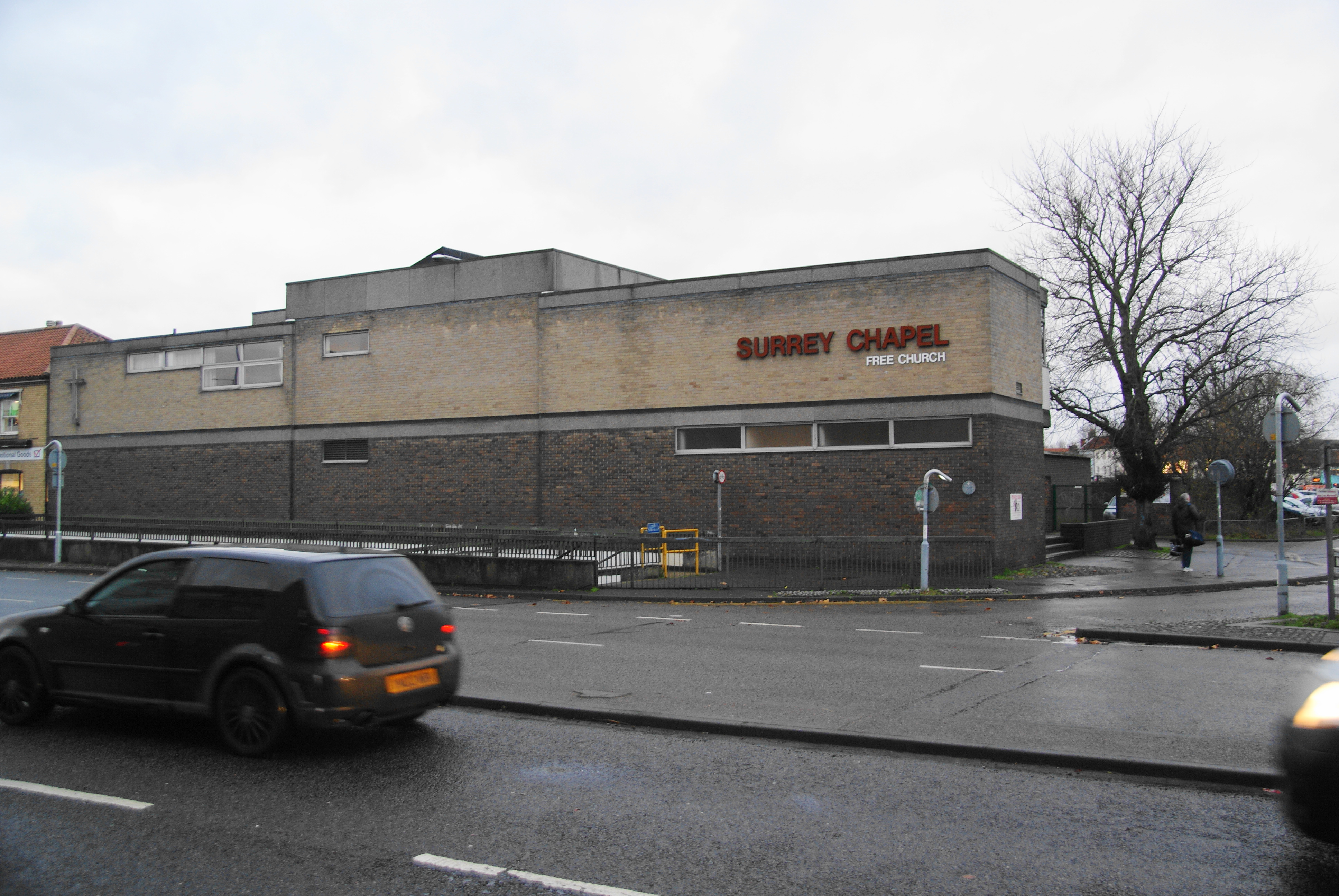
Surrey Chapel, Norwich
Surrey Chapel is a Christian church in Norwich, England. In November 2022 its name was changed to CityGates Church, Norwich. Founded in 1854 by Evangelical...
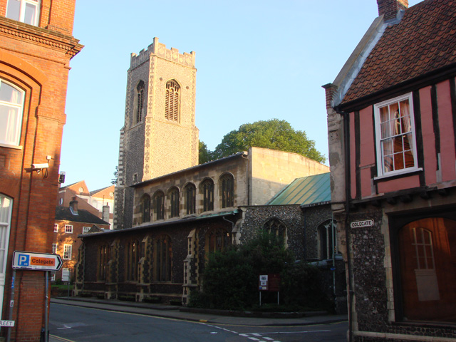
St George's Church, Colegate, Norwich
St George's Church, Colegate, Norwich is a Grade I listed parish church in the Church of England in Norwich. == History == The church is medieval. The...
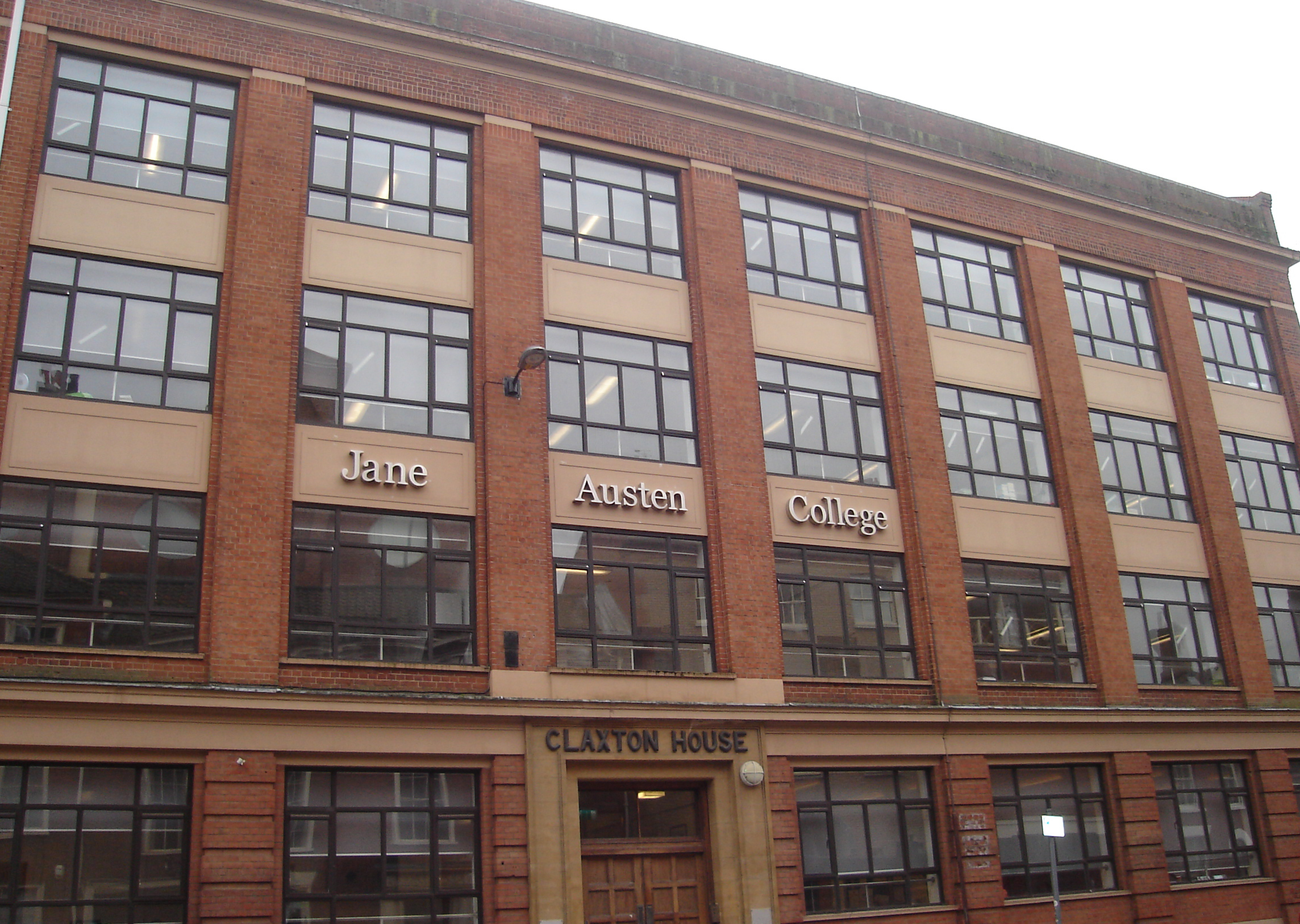
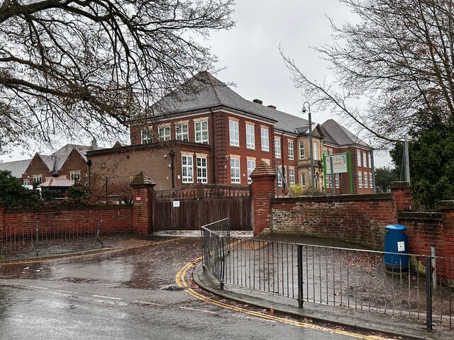
Jane Austen College
Jane Austen College is a secondary free school located in Norwich, owned by the Inspiration Trust, that opened in September 2014. == History == Plans for...
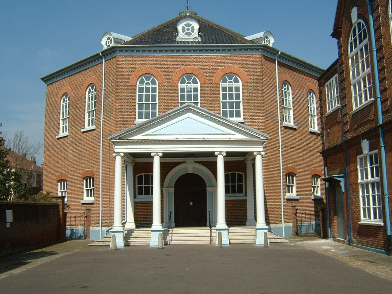
Octagon Chapel, Norwich
The Octagon Chapel is a Unitarian Chapel located in Colegate in Norwich, Norfolk, England. The congregation is a member of the General Assembly of Unitarian...
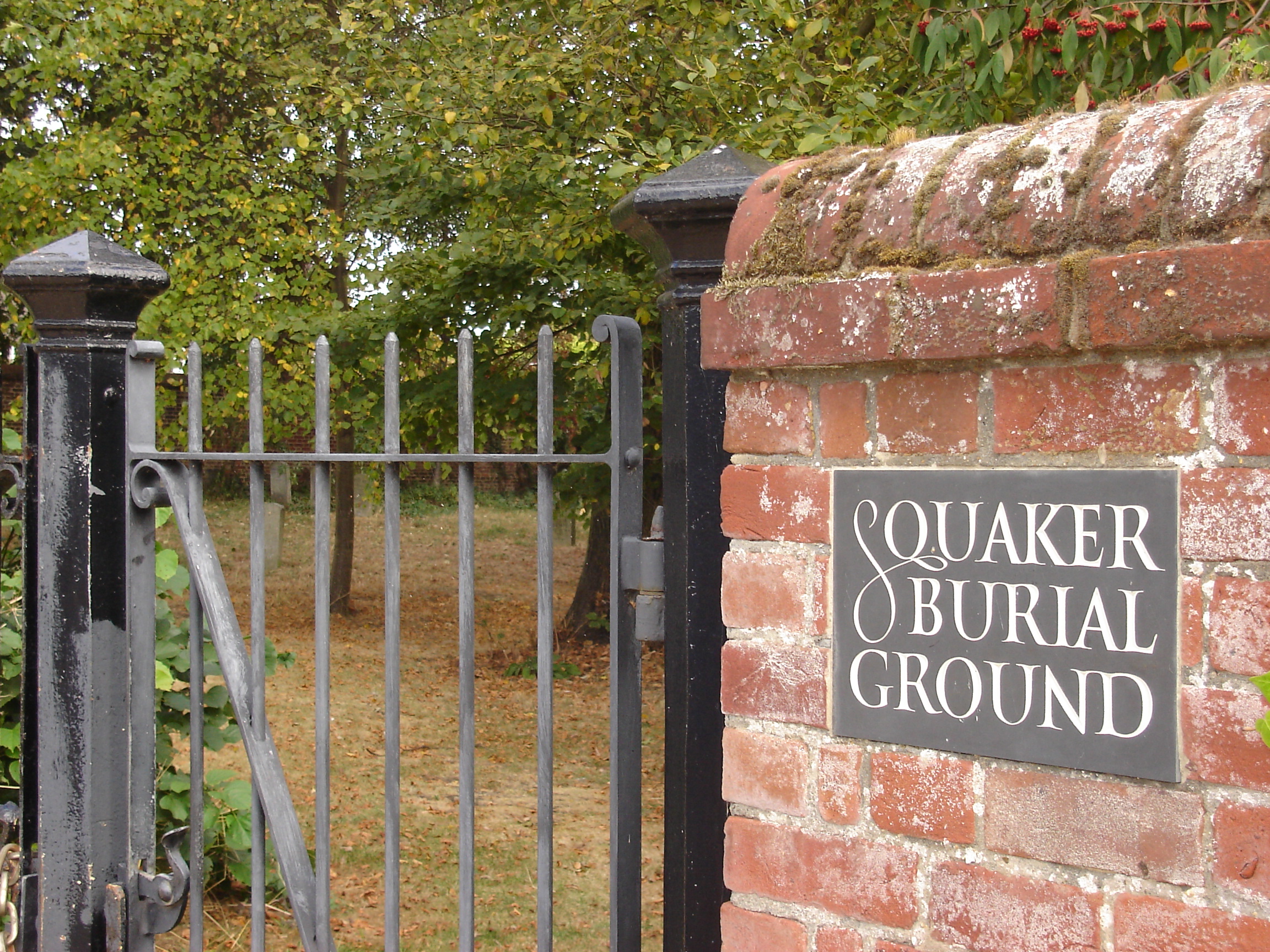
Gildencroft Quaker Cemetery, Norwich
The Gildencroft Quaker Cemetery is a historic cemetery in Chatham Street, Norwich, Norfolk, England, where many of the city's Quakers, including the writer...
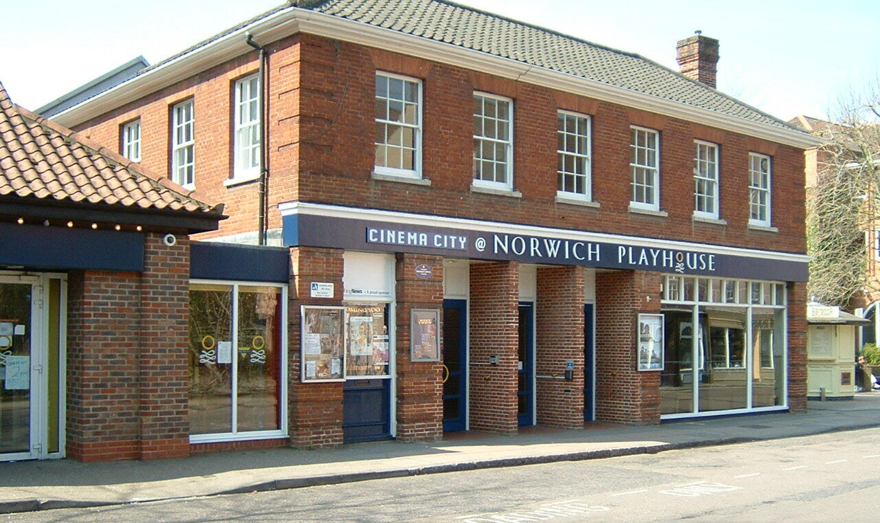
Norwich Playhouse
The Norwich Playhouse is a theatre in St George's Street, Norwich, Norfolk, England. The theatre opened in 1995 in a nineteenth-century building that was...
Nearby Amenities
Located within 500m of 52.634118,1.2921348Have you been to Coslany?
Leave your review of Coslany below (or comments, questions and feedback).