Clapham Wood
Wood, Forest in Norfolk Norwich
England
Clapham Wood
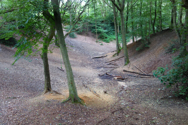
Clapham Wood, located in Norfolk, is a picturesque forest known for its natural beauty and rich biodiversity. Covering an area of approximately 100 hectares, this ancient woodland is a haven for nature enthusiasts and a popular destination for hikers and walkers.
The woodland is characterized by a mixture of broadleaf and coniferous trees, creating a diverse and unique ecosystem. Oak, beech, birch, and pine trees dominate the landscape, providing a dense canopy that offers shade and shelter for a variety of wildlife.
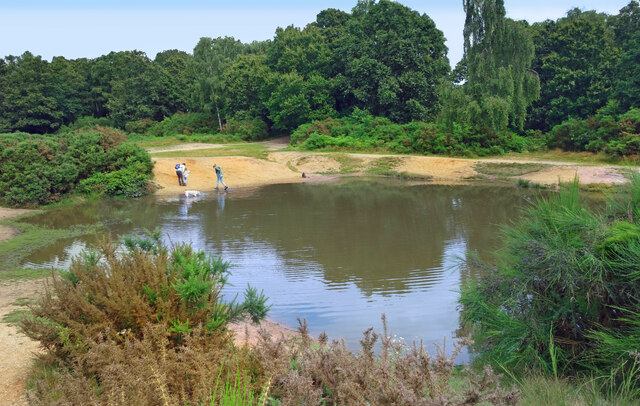
Clapham Wood is home to a wide range of plant and animal species. Wildflowers such as bluebells, primroses, and wood anemones carpet the forest floor during spring, adding a vibrant splash of color. Mammals such as deer, foxes, and badgers can often be spotted, while birdwatchers may catch a glimpse of woodpeckers, owls, and various songbirds.
The woodland also boasts several walking trails that allow visitors to explore its beauty. These paths wind through the forest, offering breathtaking views and opportunities to observe the local flora and fauna. Additionally, there are picnic areas and benches scattered throughout the woods, providing a peaceful setting for visitors to relax and enjoy the tranquility of nature.
Clapham Wood holds historical significance as well, with evidence of human activity dating back to the Neolithic era. Archaeological remains, including burial mounds and ancient earthworks, can be found within the forest, adding an extra layer of intrigue for history enthusiasts.
Overall, Clapham Wood is a natural gem in Norfolk, offering a peaceful escape into nature and a chance to appreciate the wonders of the local ecosystem.
If you have any feedback on the listing, please let us know in the comments section below.
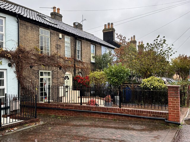
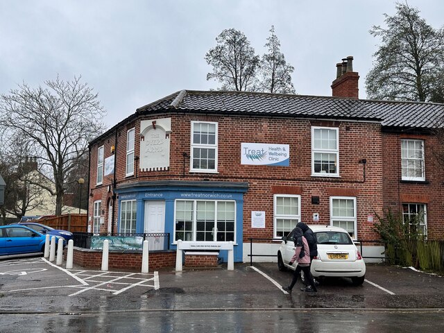
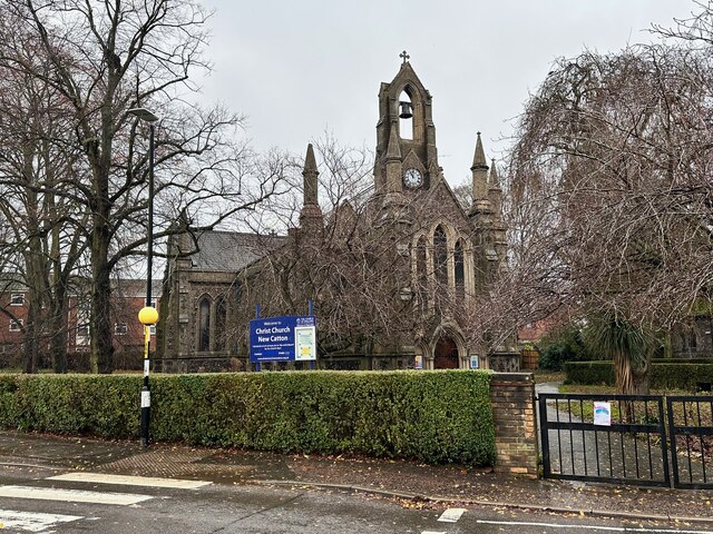
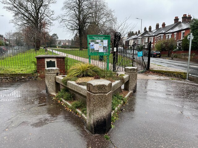
Clapham Wood Images
Images are sourced within 2km of 52.641394/1.2872705 or Grid Reference TG2209. Thanks to Geograph Open Source API. All images are credited.


Clapham Wood is located at Grid Ref: TG2209 (Lat: 52.641394, Lng: 1.2872705)
Administrative County: Norfolk
District: Norwich
Police Authority: Norfolk
What 3 Words
///fills.spend.income. Near Norwich, Norfolk
Nearby Locations
Related Wikis
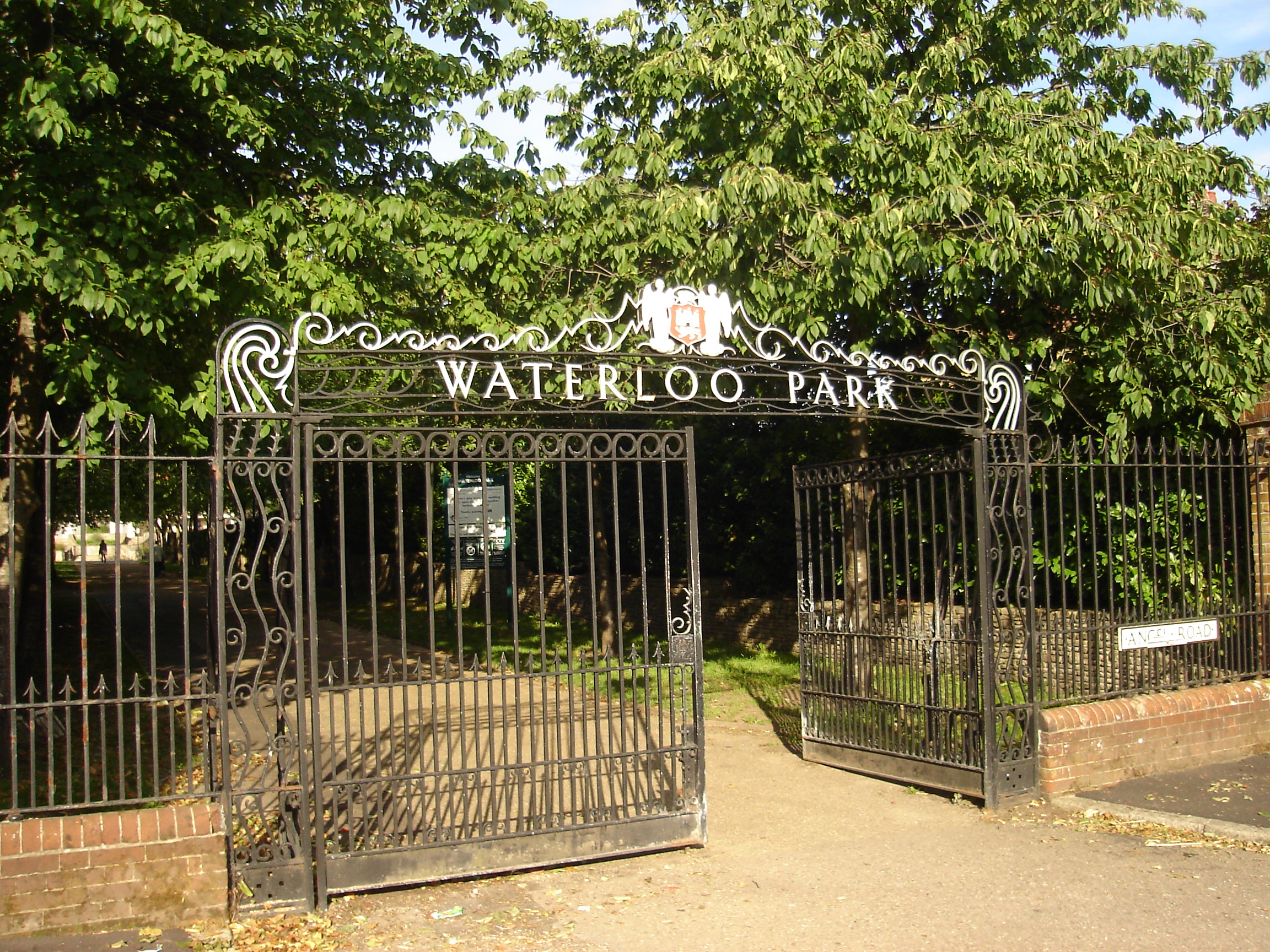
Waterloo Park, Norwich
Waterloo Park is a Grade II* listed public park in Norwich, Norfolk. It forms one of a set of public parks established in Norwich in the 1930s by Captain...
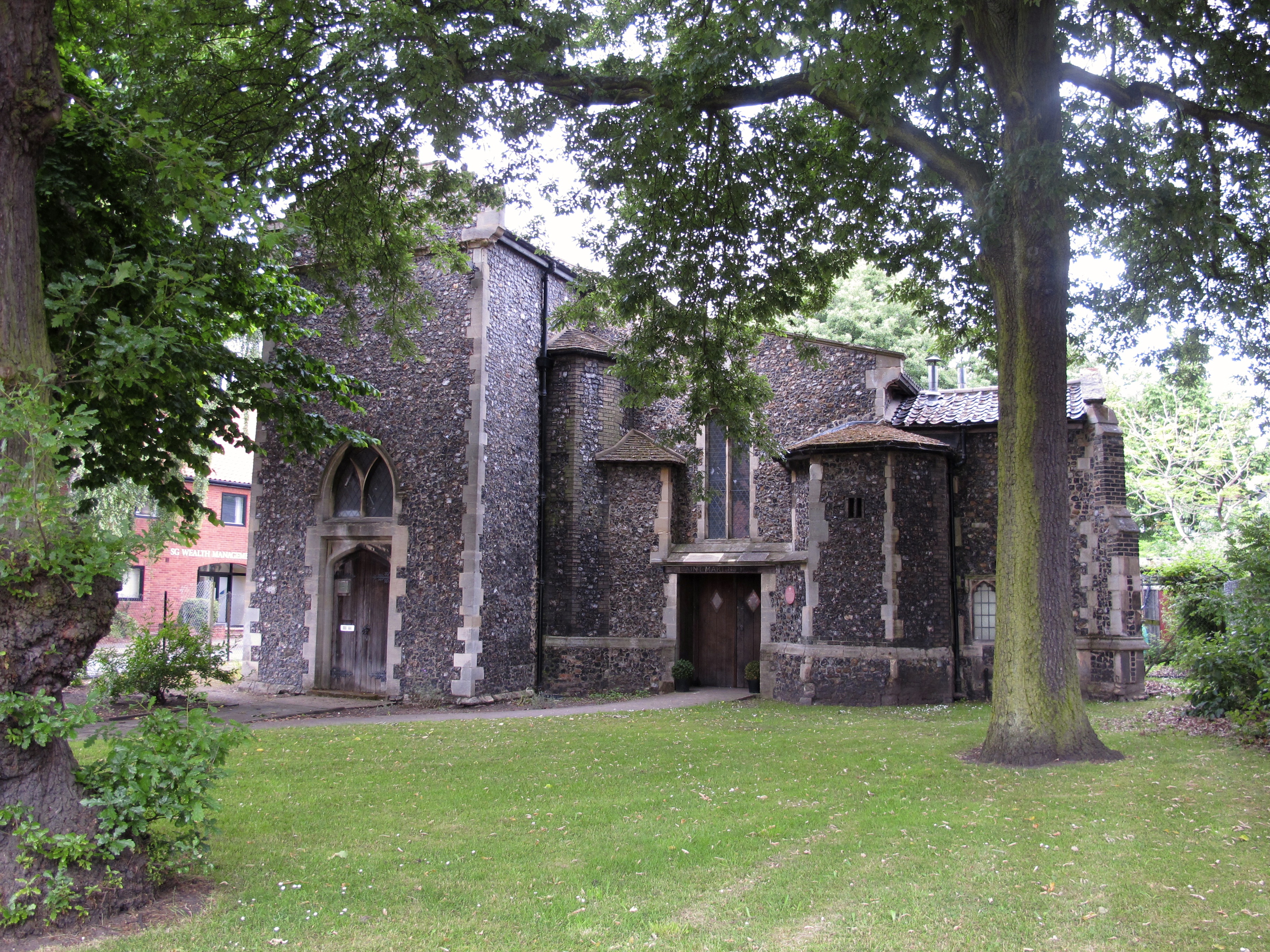
St Augustine's Church, Norwich
St Augustine's Church is a redundant Anglican church building in the city of Norwich, Norfolk, England. It is recorded in the National Heritage List for...
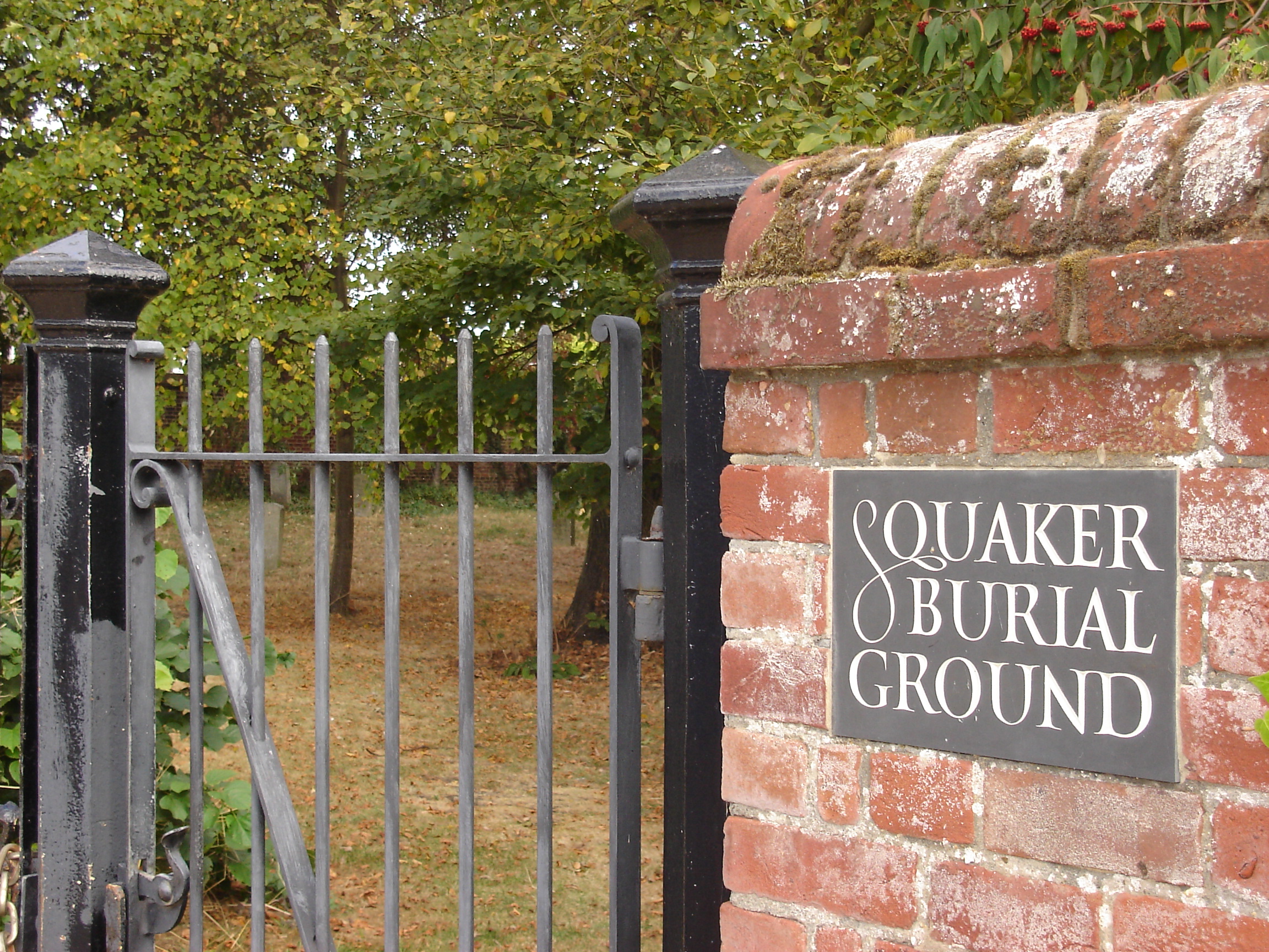
Gildencroft Quaker Cemetery, Norwich
The Gildencroft Quaker Cemetery is a historic cemetery in Chatham Street, Norwich, Norfolk, England, where many of the city's Quakers, including the writer...
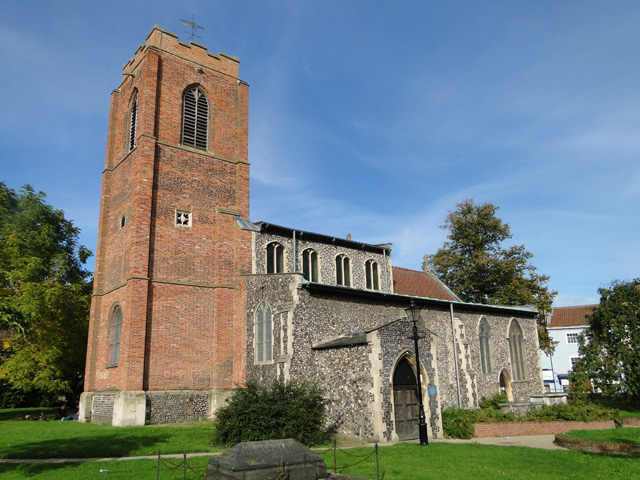
St Martin at Oak, Norwich
St Martin at Oak, Norwich is a Grade I listed redundant parish church in the Church of England in Norwich. == History == The church is medieval dating...
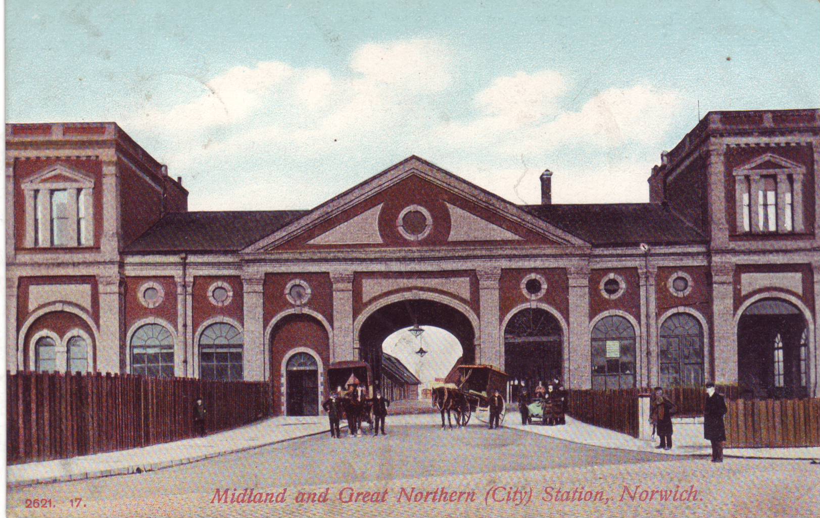
Norwich City railway station
Norwich City railway station was located in Norwich, Norfolk, England and was closed in 1969. == History == The station was opened in 1882 by the Lynn...
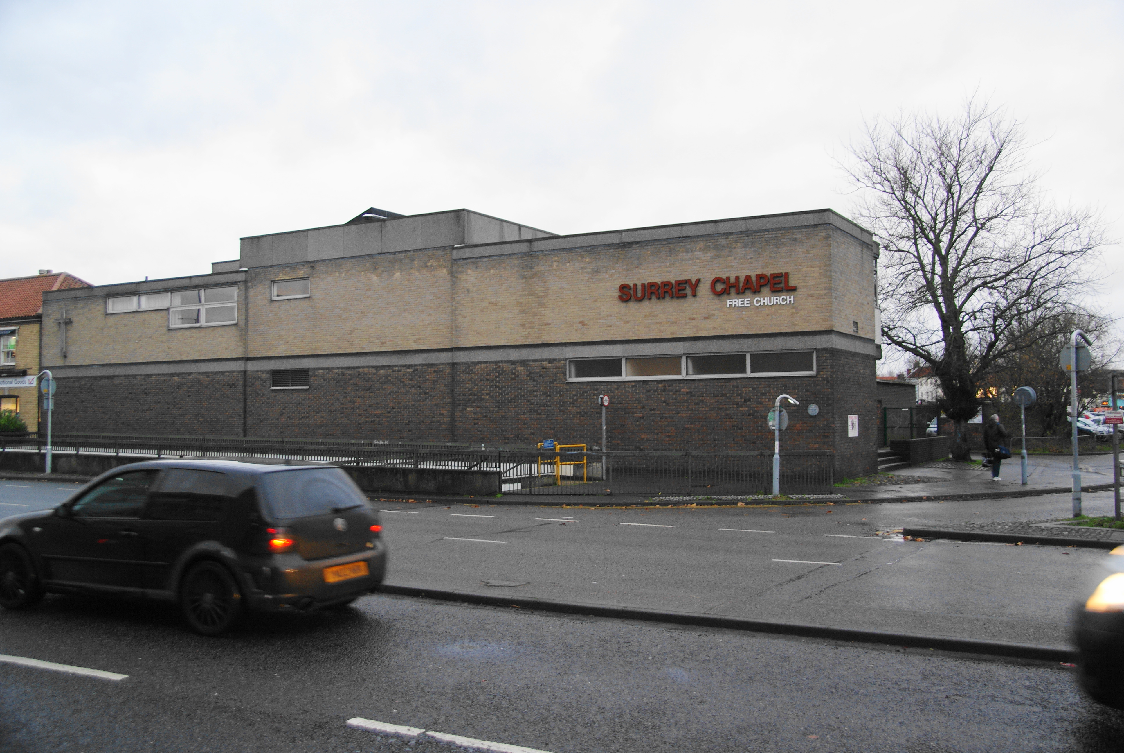
Surrey Chapel, Norwich
Surrey Chapel is a Christian church in Norwich, England. In November 2022 its name was changed to CityGates Church, Norwich. Founded in 1854 by Evangelical...
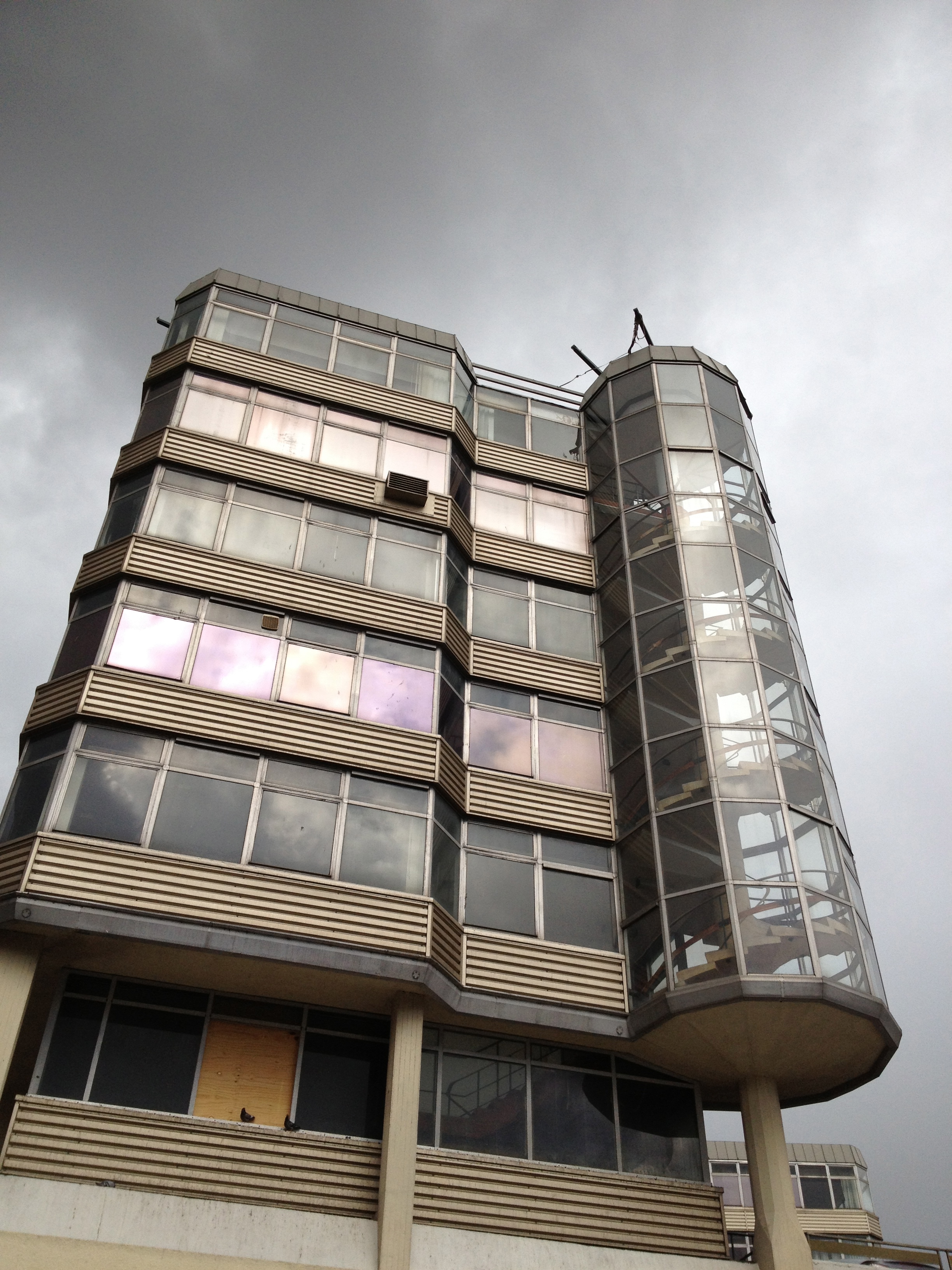
Anglia Square
Anglia Square is a shopping centre in the north of Norwich city centre, in Norfolk, England. Opened in 1970, it was part of a larger Norwich redevelopment...

Sewell Park, Norwich
Sewell Park is a triangular park between Constitution Hill and St. Clement's Hill in Norwich, Norfolk, England. The park was given to the Norwich Corporation...
Nearby Amenities
Located within 500m of 52.641394,1.2872705Have you been to Clapham Wood?
Leave your review of Clapham Wood below (or comments, questions and feedback).