Congreave
Settlement in Derbyshire Derbyshire Dales
England
Congreave
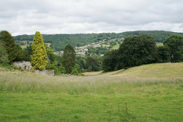
Congreave is a small village located in the county of Derbyshire, England. Situated approximately 12 miles southwest of the city of Derby, it falls within the administrative district of South Derbyshire. The village is nestled in a picturesque rural setting, surrounded by rolling hills and lush green fields, offering a tranquil and idyllic atmosphere.
Congreave is home to a close-knit community, and its population is relatively small, consisting mainly of residents who appreciate the peaceful countryside lifestyle. The village retains a charming traditional character, with a mix of well-preserved historic buildings and newer residential developments.
The village is well-connected to nearby towns and cities, with good road links providing easy access to Derby, Burton upon Trent, and beyond. Additionally, its proximity to the A38 road allows for convenient travel to other parts of the region.
Though Congreave may be small, it benefits from a range of local amenities to cater to the needs of its residents. These include a village hall, a primary school, and a local pub, which serves as a social hub for locals and visitors alike. The surrounding natural beauty also provides ample opportunities for outdoor activities such as walking, cycling, and exploring the nearby countryside.
In summary, Congreave is a charming village in Derbyshire, characterized by its scenic location and peaceful ambiance. With its strong sense of community and convenient access to amenities, it offers a desirable place to reside for those seeking a quieter countryside lifestyle.
If you have any feedback on the listing, please let us know in the comments section below.
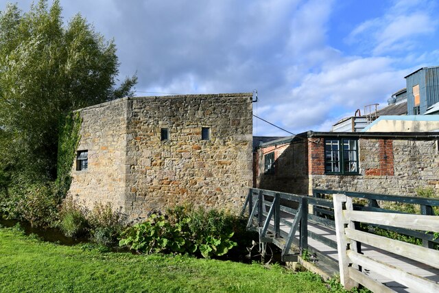
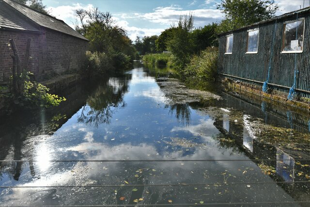
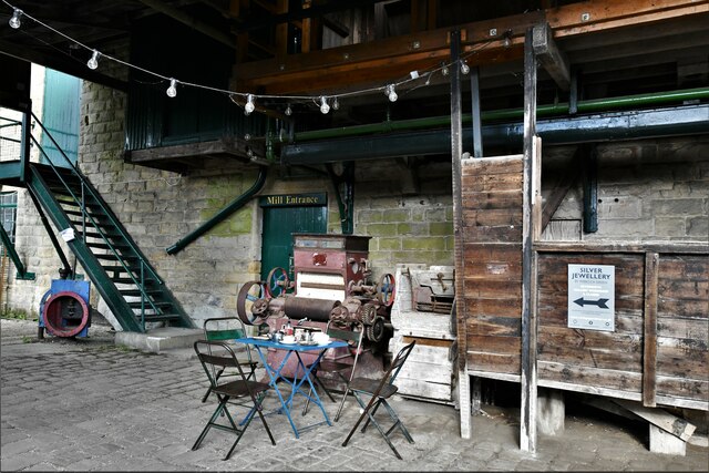
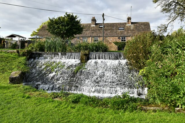
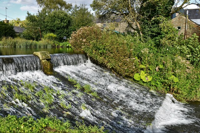
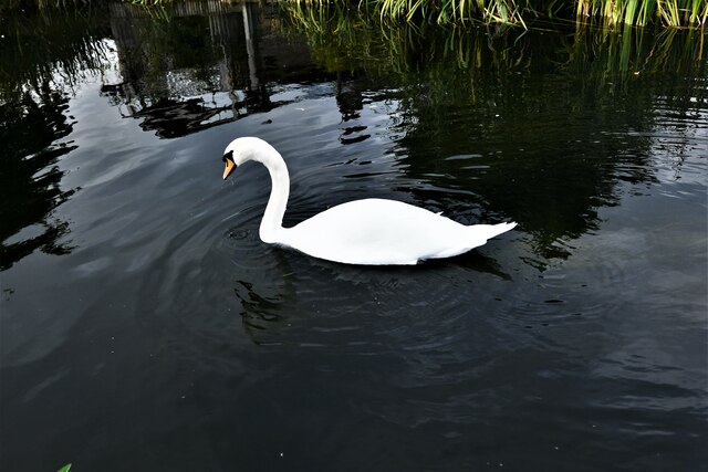
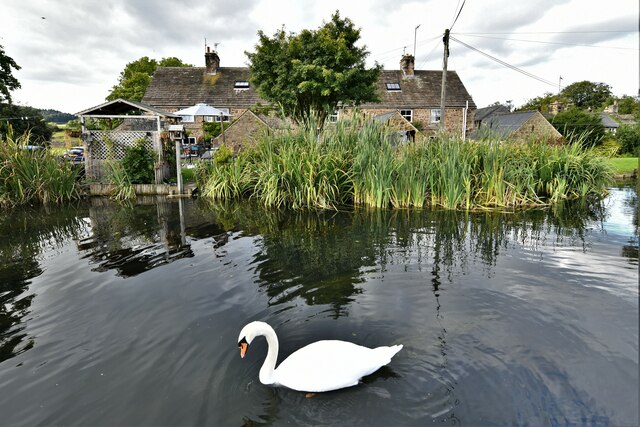
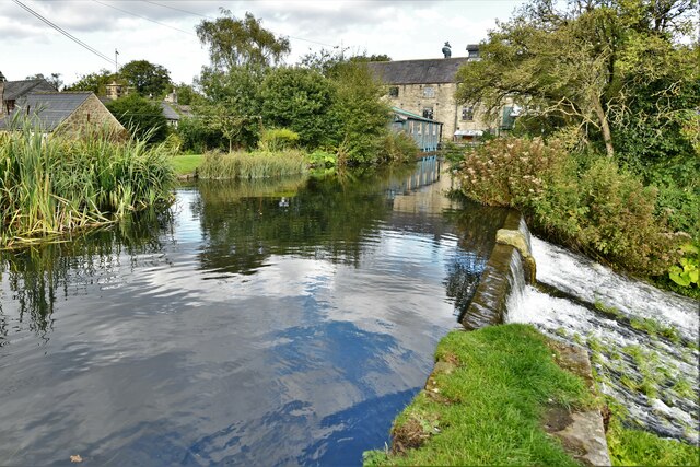
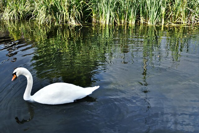
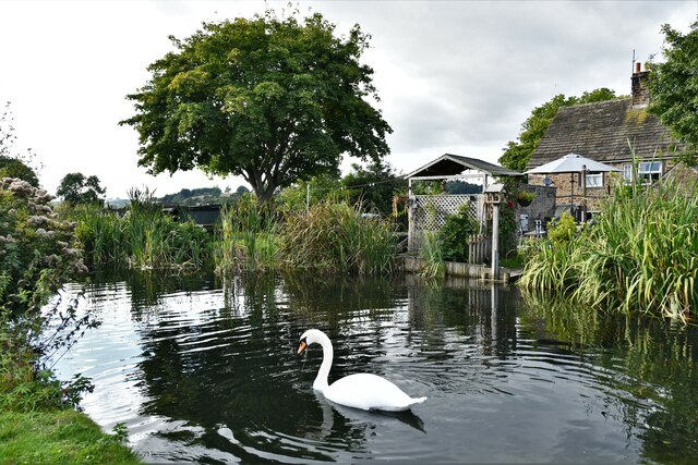
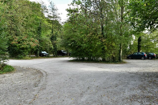
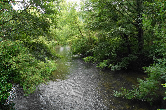
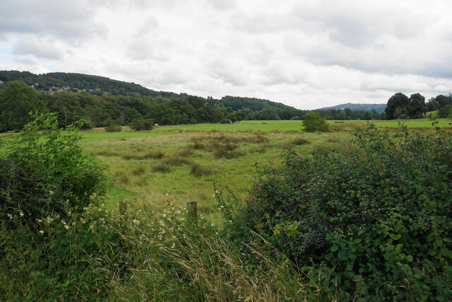
Congreave Images
Images are sourced within 2km of 53.183913/-1.6318734 or Grid Reference SK2465. Thanks to Geograph Open Source API. All images are credited.

Congreave is located at Grid Ref: SK2465 (Lat: 53.183913, Lng: -1.6318734)
Administrative County: Derbyshire
District: Derbyshire Dales
Police Authority: Derbyshire
What 3 Words
///jousting.establish.acclaim. Near Youlgreave, Derbyshire
Nearby Locations
Related Wikis

River Lathkill
The River Lathkill is a river in the Peak District National Park in Derbyshire, England. First recorded in 1280, the name "Lathkill" possibly has Scandinavian...

Stanton in Peak
Stanton in Peak (also written as Stanton-in-Peak) is a village in the Derbyshire Dales district of Derbyshire, It is about seven miles north-west of Matlock...
St Katherine's Church, Rowsley
St Katherine's Church, Rowsley is a Grade II listed parish church in the Church of England: 312 in Rowsley, Derbyshire. == History == The foundation stone...

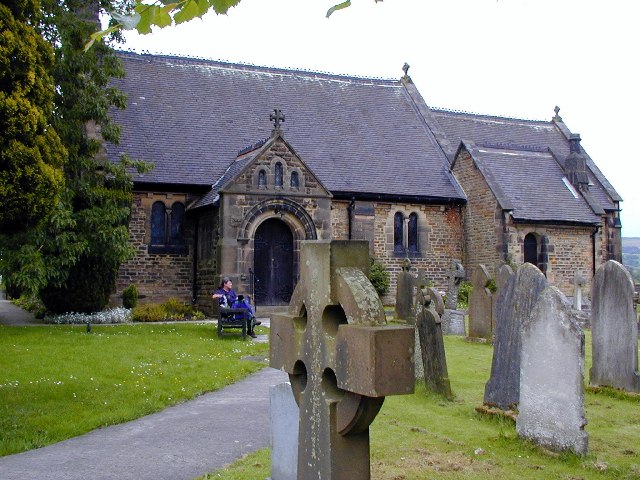
Holy Trinity Church, Stanton-in-Peak
Holy Trinity Church, Stanton-in-Peak is a Grade II listed parish church in the Church of England in Stanton in Peak, Derbyshire. == History == The church...

Stanton Hall, Stanton in Peak
Stanton Hall is a privately owned country house at Stanton in Peak in the Derbyshire Peak District, the home of the Davie-Thornhill family. It is a Grade...
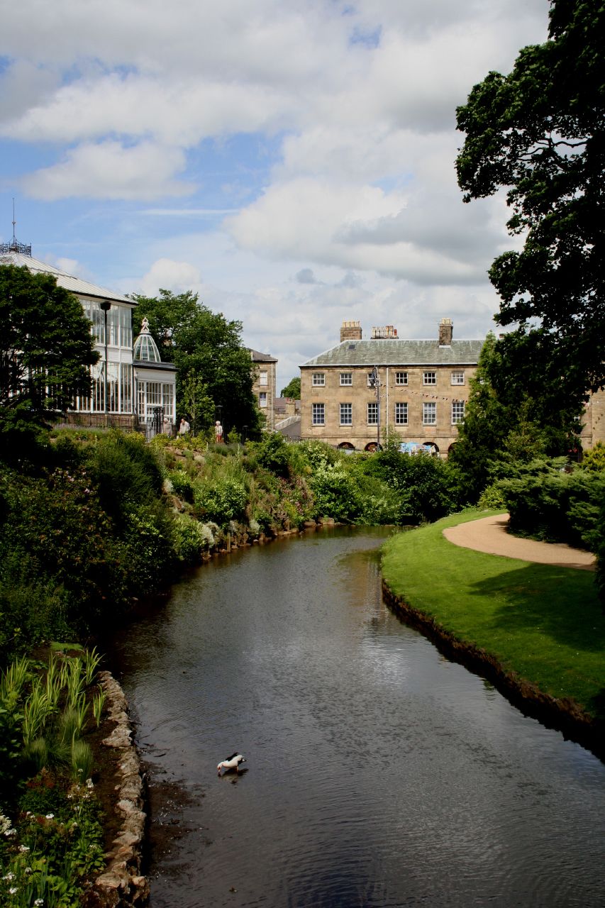
River Wye, Derbyshire
The River Wye is a limestone river in the Peak District of Derbyshire, England. It is 22 miles long (widely but incorrectly attributed as 15 miles/24...
Rowsley
Rowsley () is a village on the A6 road in the English county of Derbyshire. The population as at the 2011 census was 507.It is at the point where the River...
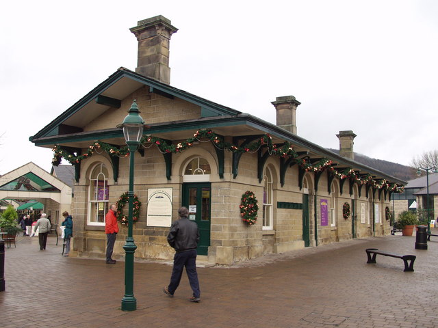
Rowsley railway station
The original Rowsley railway station was opened in 1849 by the Manchester, Buxton, Matlock and Midlands Junction Railway to serve the village of Rowsley...
Nearby Amenities
Located within 500m of 53.183913,-1.6318734Have you been to Congreave?
Leave your review of Congreave below (or comments, questions and feedback).