Coneypark

Settlement in Stirlingshire

Scotland

Coneypark

Road to Bowridge
Road to Bowridge Credit: Richard Sutcliffe

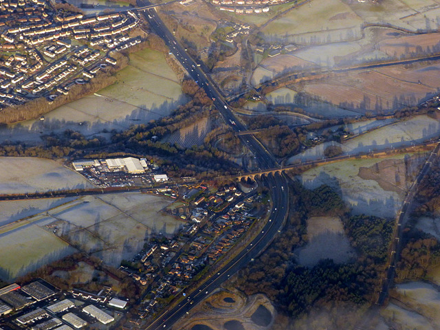
Coneypark is a small village located in the county of Stirlingshire, Scotland. Situated in the central part of the country, it lies approximately 10 miles northwest of the city of Stirling and 35 miles northeast of Glasgow. Nestled amidst picturesque countryside, Coneypark offers residents and visitors a tranquil and scenic setting.

The village is known for its historical significance, with records dating back to the 12th century. Coneypark was originally part of the royal hunting grounds of the nearby Stirling Castle, and evidence of its rich past can still be seen in the remnants of the medieval castle walls scattered throughout the area.

Despite its small size, Coneypark boasts a tight-knit community with a range of amenities. The village is home to a primary school, providing education for local children, as well as a post office and a convenience store for everyday needs. Residents also have access to a community center, which hosts various events and activities throughout the year.

The surrounding countryside offers ample opportunities for outdoor enthusiasts. Coneypark is located near the scenic Loch Lomond and The Trossachs National Park, renowned for its stunning landscapes, hiking trails, and water activities. The area is also populated with several golf courses, providing opportunities for golf enthusiasts to enjoy a round or two.

Overall, Coneypark offers a peaceful and idyllic lifestyle, making it an attractive place for those seeking a quieter residential area with easy access to both rural and urban amenities.

If you have any feedback on the listing, please let us know in the comments section below.
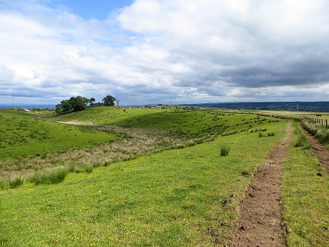
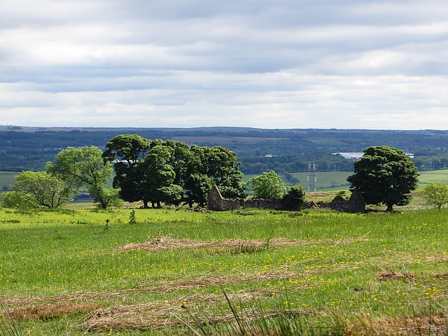
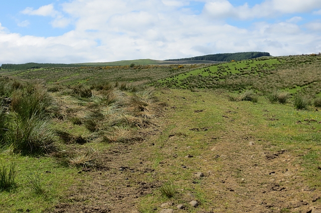
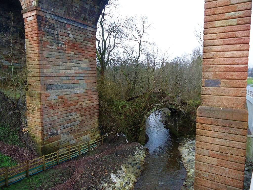
Coneypark Images

Images are sourced within 2km of 55.989136/-3.9678166 or Grid Reference NS7779. Thanks to Geograph Open Source API. All images are credited.

Road to Bowridge
Road to Bowridge
Bottomhead The grassed over road on the final climb to the ruins.
Bottomhead
The grassed over road on the final climb to the ruins.
Pasture, Bottomhead
Pasture, Bottomhead
Bottomhead Ruins of a farm and a modern mixen.
Bottomhead
Ruins of a farm and a modern mixen.
Cow and calf, Bottomhead A fair bit of farmland near here has been planted with conifers.
Cow and calf, Bottomhead
A fair bit of farmland near here has been planted with conifers.
Track, Bottomhead The track takes a high and dry  route along a ridge.
Track, Bottomhead
The track takes a high and dry route along a ridge.
Whitehill Ruined farm.
Whitehill
Ruined farm.
Rough grazing near Whitehill Just north of the ruins at Whitehill.
Rough grazing near Whitehill
Just north of the ruins at Whitehill.
Bottomhead A ruined farm.
Bottomhead
A ruined farm.
Castlecary Viaduct from the A80
Castlecary, Millennium Bridge Carries the Glasgow to Stirling road A/M80 over the Forth & Clyde Canal.
Castlecary, Millennium Bridge
Carries the Glasgow to Stirling road A/M80 over the Forth & Clyde Canal.
Forth & Clyde Canal, Castlecary bridge This new bridge (built 2000) replaced a swing bridge which carried the old Glasgow to Stirling trunk road prior to the building of the A80 dual carriageway nearby. See RCAHMS record <span class="nowrap"><a title="http://canmore.rcahms.gov.uk/en/site/90344/details/castlecary+swing+bridge+forth+and+clyde+canal/" rel="nofollow ugc noopener" href="http://canmore.rcahms.gov.uk/en/site/90344/details/castlecary+swing+bridge+forth+and+clyde+canal/">Link</a><img style="margin-left:2px;" alt="External link" title="External link - shift click to open in new window" src="https://s1.geograph.org.uk/img/external.png" width="10" height="10"/></span>
Forth & Clyde Canal, Castlecary bridge
This new bridge (built 2000) replaced a swing bridge which carried the old Glasgow to Stirling trunk road prior to the building of the A80 dual carriageway nearby. See RCAHMS record LinkExternal link
Castlecary, farm track Runs along the southern side of the Forth & Clyde Canal.
Castlecary, farm track
Runs along the southern side of the Forth & Clyde Canal.
Forth & Clyde Canal, ruins Adjacent to lock 19 these maybe the foundations of a lock keeper's dwelling.
Forth & Clyde Canal, ruins
Adjacent to lock 19 these maybe the foundations of a lock keeper's dwelling.
Forth & Clyde Canal, lock 19
Forth & Clyde Canal, lock 19 Looking westward. Like other locks on this canal this one doubles as a weir draining excess water from the summit level.
Forth & Clyde Canal, lock 19
Looking westward. Like other locks on this canal this one doubles as a weir draining excess water from the summit level.
Forth & Clyde Canal, lock 19 Looking eastward.
Forth & Clyde Canal, lock 19
Looking eastward.
Castlecary bridge View from the east. See also <a href="https://www.geograph.org.uk/photo/2350935">NS7878 : Forth & Clyde Canal, Castlecary bridge</a>
Castlecary bridge
Show me another place!

Coneypark is located at Grid Ref: NS7779 (Lat: 55.989136, Lng: -3.9678166)

Unitary Authority: Falkirk

Police Authority: Forth Valley

What 3 Words

///lives.storms.trucks. Near Banknock, Falkirk

Nearby Locations

Coneypark Banknock

Related Wikis

Banknock railway station

Banknock railway station served the village of Banknock in Scotland. The station was served by trains on the lines from Kilsyth New to Bonnybridge. �...

Banknock

Banknock (Scottish Gaelic: Baile nan Cnoc) is a village within the Falkirk council area in Central Scotland. The village is 6.7 miles (10.8 km) west-southwest...

Red Burn

The Red Burn is one of two main streams which flow out of Cumbernauld. The Scottish New Town’s name derives from the Gaelic for "the meeting of the waters...

Castlecary railway station

Castlecary railway station served the village of Castlecary, North Lanarkshire, Scotland from 1842 to 1967 on the Edinburgh and Glasgow Railway. ��2�...

Castlecary rail accidents

Two rail accidents have occurred near Castlecary, Scotland. One of these was in 1937 and one in 1968. Both events involved rear-end collisions, and caused...

Braeface

Braeface is a village in Falkirk, Scotland. == External links == Canmore - Braeface site record

Castlecary

Castlecary () is a small historic village in North Lanarkshire, Scotland, directly adjacent to the border with Falkirk. It has long been associated with...

Cumbernauld Airport

Cumbernauld Airport (ICAO: EGPG, FAA LID: CBN) is a general aviation airport located 16 NM (30 km; 18 mi) northeast of Glasgow at Cumbernauld in North...

Nearby Amenities

Located within 500m of 55.989136,-3.9678166
Post Box
Source: survey
Lat/Long: 55.9886218/-3.9673487
Old Coal Pit
Historic: mine
Lat/Long: 55.990258/-3.9709465
Power: pole
Lat/Long: 55.990787/-3.9746094
Power: pole
Lat/Long: 55.9908406/-3.9732178
Power: pole
Lat/Long: 55.9908184/-3.9720366
Power: pole
Lat/Long: 55.9908126/-3.9709805
Power: pole
Lat/Long: 55.9907986/-3.9699222
Power: pole
Lat/Long: 55.9907776/-3.9682056
Power: pole
Lat/Long: 55.9930211/-3.9715877
Power: pole
Lat/Long: 55.9932647/-3.9701024
Power: pole
Lat/Long: 55.9935245/-3.9685317
Power: pole
Lat/Long: 55.9898303/-3.9683129
Power: pole
Lat/Long: 55.9904805/-3.9682275
Power: pole
Lat/Long: 55.9910736/-3.968165
Power: pole
Lat/Long: 55.9914558/-3.9681067
Power: pole
Lat/Long: 55.9915944/-3.9674484
Power: pole
Lat/Long: 55.9916795/-3.9667401
Power: pole
Lat/Long: 55.991789/-3.9660068
Power: pole
Lat/Long: 55.9919999/-3.9653194
Power: pole
Lat/Long: 55.9921712/-3.9646632
Power: pole
Lat/Long: 55.9923681/-3.9638986
Power: pole
Lat/Long: 55.9848837/-3.9672338
Power: pole
Lat/Long: 55.9854407/-3.9678067
Power: pole
Lat/Long: 55.9862483/-3.967488
Power: pole
Lat/Long: 55.9872079/-3.9670911
Power: pole
Lat/Long: 55.9877183/-3.966987
Power: pole
Lat/Long: 55.9876694/-3.96536
Power: pole
Lat/Long: 55.9879059/-3.9638455
Power: pole
Lat/Long: 55.9880504/-3.9629039
Power: pole
Lat/Long: 55.9882077/-3.9619082
Power: pole
Lat/Long: 55.9882823/-3.9608916
Power: pole
Lat/Long: 55.988428/-3.9671765
The data included in this document is from www.openstreetmap.org. The data is made available under ODbL.

Have you been to Coneypark?

Leave your review of Coneypark below (or comments, questions and feedback).