Comberton
Settlement in Worcestershire Wyre Forest
England
Comberton
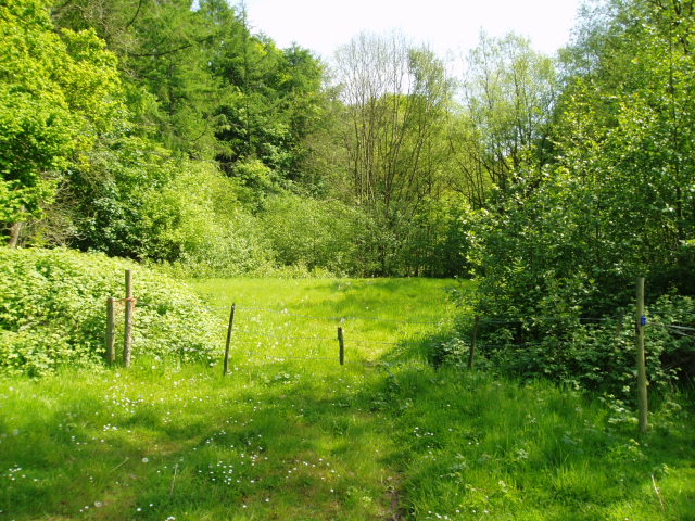
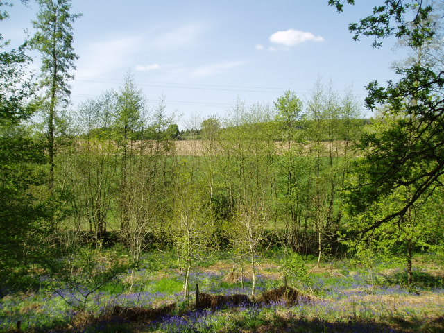
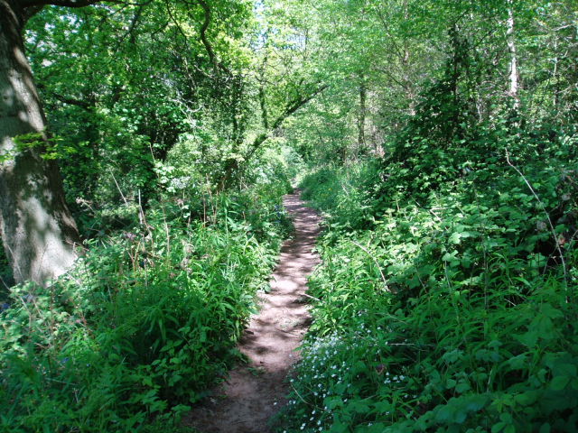
Comberton is a small village located in Worcestershire, England. It is situated near the town of Pershore and is part of the Wychavon district. The village is known for its picturesque countryside, with rolling hills and farmland surrounding the area.
Comberton has a population of around 500 residents and is a close-knit community with a strong sense of local pride. The village has a primary school, church, and a few small businesses, including a local pub and convenience store. The architecture in Comberton is traditional and charming, with many historic buildings dating back to the medieval period.
The village is well-connected by road, with easy access to the nearby towns of Pershore, Evesham, and Worcester. The surrounding area offers plenty of opportunities for outdoor activities such as hiking, cycling, and horseback riding.
Overall, Comberton is a peaceful and idyllic village, perfect for those looking to escape the hustle and bustle of city life and enjoy the tranquility of the English countryside.
If you have any feedback on the listing, please let us know in the comments section below.
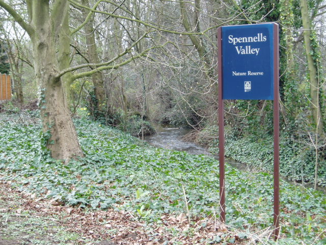
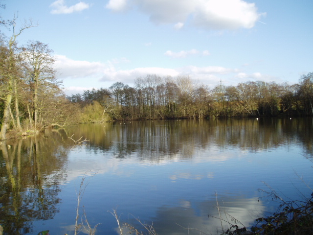
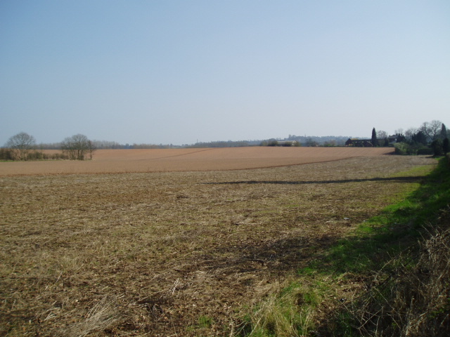
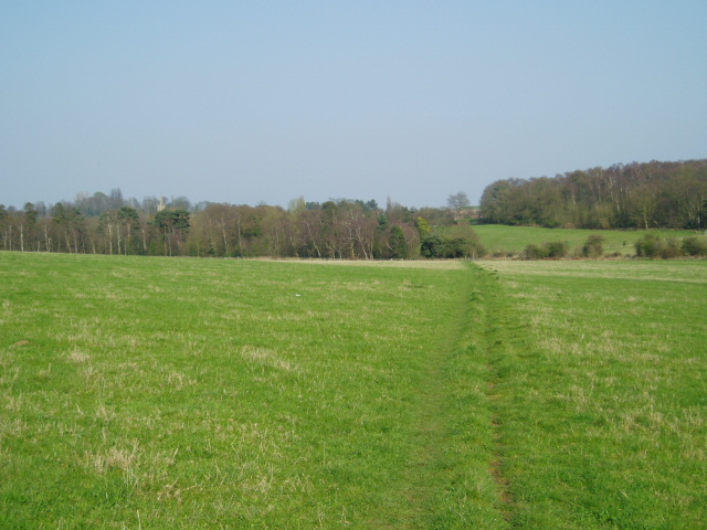
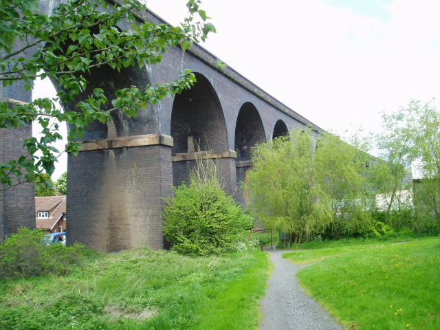
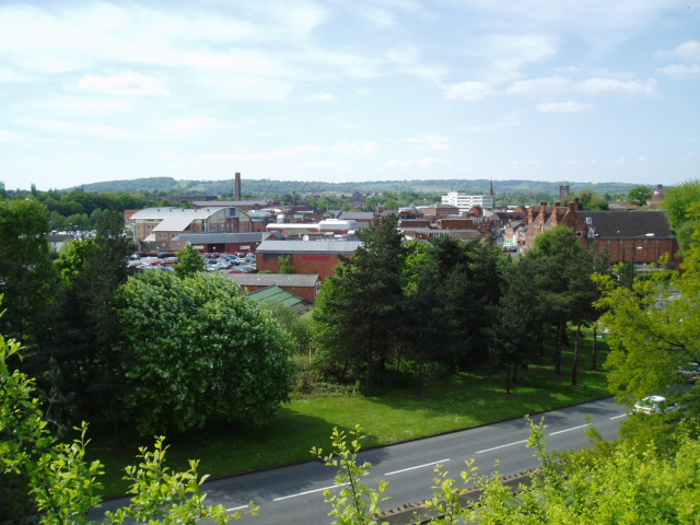
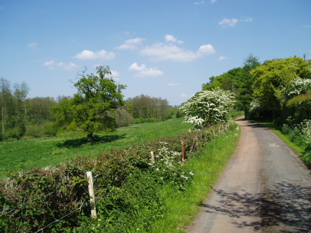
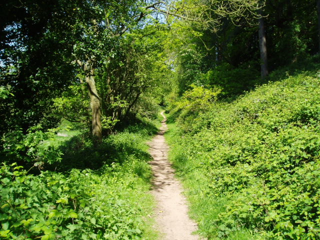
Comberton Images
Images are sourced within 2km of 52.381818/-2.225807 or Grid Reference SO8476. Thanks to Geograph Open Source API. All images are credited.


Comberton is located at Grid Ref: SO8476 (Lat: 52.381818, Lng: -2.225807)
Administrative County: Worcestershire
District: Wyre Forest
Police Authority: West Merica
What 3 Words
///fades.dizzy.normal. Near Kidderminster, Worcestershire
Nearby Locations
Related Wikis

Wyre Forest School
Wyre Forest School (formerly Stourminster Special School) is a school in Kidderminster, Worcestershire, for students with complex special needs, and...
Chester Road North Ground, Kidderminster
The Chester Road North Ground, often referred to simply as Chester Road or Kidderminster, is a cricket ground in Kidderminster, Worcestershire, England...

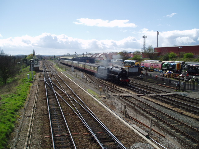
Kidderminster railway station
Kidderminster railway station is the main station serving the large town of Kidderminster, Worcestershire, England and the wider Wyre Forest district....
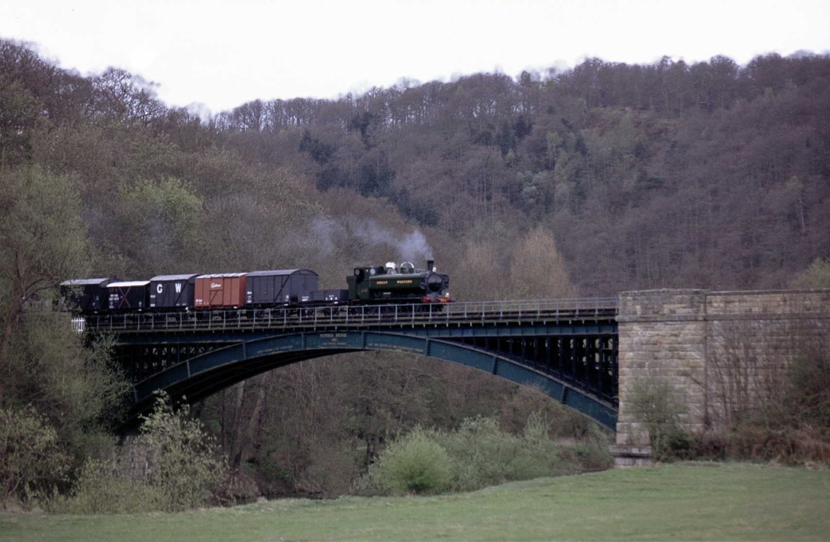
Severn Valley Railway
The Severn Valley Railway is a standard gauge heritage railway in Shropshire and Worcestershire, England, named after the company that originally built...
Nearby Amenities
Located within 500m of 52.381818,-2.225807Have you been to Comberton?
Leave your review of Comberton below (or comments, questions and feedback).