Cold Norton
Settlement in Staffordshire Stafford
England
Cold Norton

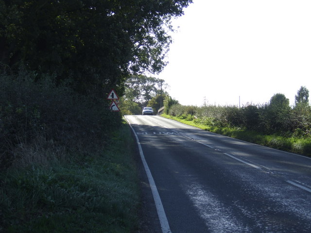
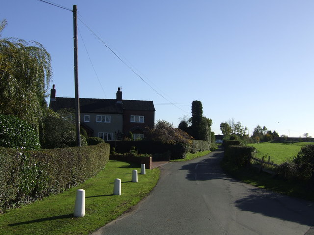
Cold Norton is a small village located in the county of Staffordshire, England. Situated in the district of South Staffordshire, it lies approximately 12 miles to the northwest of the county town, Stafford. The village is nestled in a picturesque countryside setting, with rolling hills and lush green fields surrounding it.
Despite its small size, Cold Norton has a rich history that dates back centuries. The village is mentioned in the Domesday Book of 1086, highlighting its long-standing presence. Over the years, it has remained a predominantly agricultural community, with farming playing a significant role in its economy.
The village itself consists of a charming collection of traditional English cottages and houses, giving it a quaint and idyllic atmosphere. The local community is tight-knit, with a strong sense of camaraderie and a welcoming spirit towards visitors.
Cold Norton benefits from its proximity to several amenities and attractions. The nearby town of Stafford offers a range of services, including shops, restaurants, and leisure facilities. For nature enthusiasts, Cannock Chase, an Area of Outstanding Natural Beauty, is just a short drive away, providing opportunities for outdoor activities such as walking, cycling, and wildlife spotting.
In summary, Cold Norton is a delightful village in Staffordshire, boasting a rich history, picturesque surroundings, and a close-knit community. It offers a peaceful retreat for those seeking a rural escape, while still providing access to nearby amenities and attractions.
If you have any feedback on the listing, please let us know in the comments section below.
Cold Norton Images
Images are sourced within 2km of 52.885905/-2.1807453 or Grid Reference SJ8732. Thanks to Geograph Open Source API. All images are credited.


Cold Norton is located at Grid Ref: SJ8732 (Lat: 52.885905, Lng: -2.1807453)
Administrative County: Staffordshire
District: Stafford
Police Authority: Staffordshire
What 3 Words
///tensions.roses.remembers. Near Stone, Staffordshire
Nearby Locations
Related Wikis

Stafford services
Stafford services is a pair of motorway service stations on the M6 motorway near Stone, Staffordshire, England. In August 2011 it was rated as 4 stars...

Stone Dominoes F.C.
Stone Dominoes Football Club is a football club based in Stone, Staffordshire. They play at Wellbeing Park. == History == The club was established in 1987...
Stone Old Alleynians F.C.
Stone Old Alleynians Football Club is a football club based in the town of Stone, Staffordshire, England. The club plays in the Midland League Premier...
Yarnfield
Yarnfield is a village in Staffordshire, England. Population details as taken in the 2011 census can be found under Swynnerton It is considered part of...
Stone Rural District
Stone Rural District was a rural district in Staffordshire, England. It was created in 1894 and abolished by virtue of the Local Government Act 1972 in...
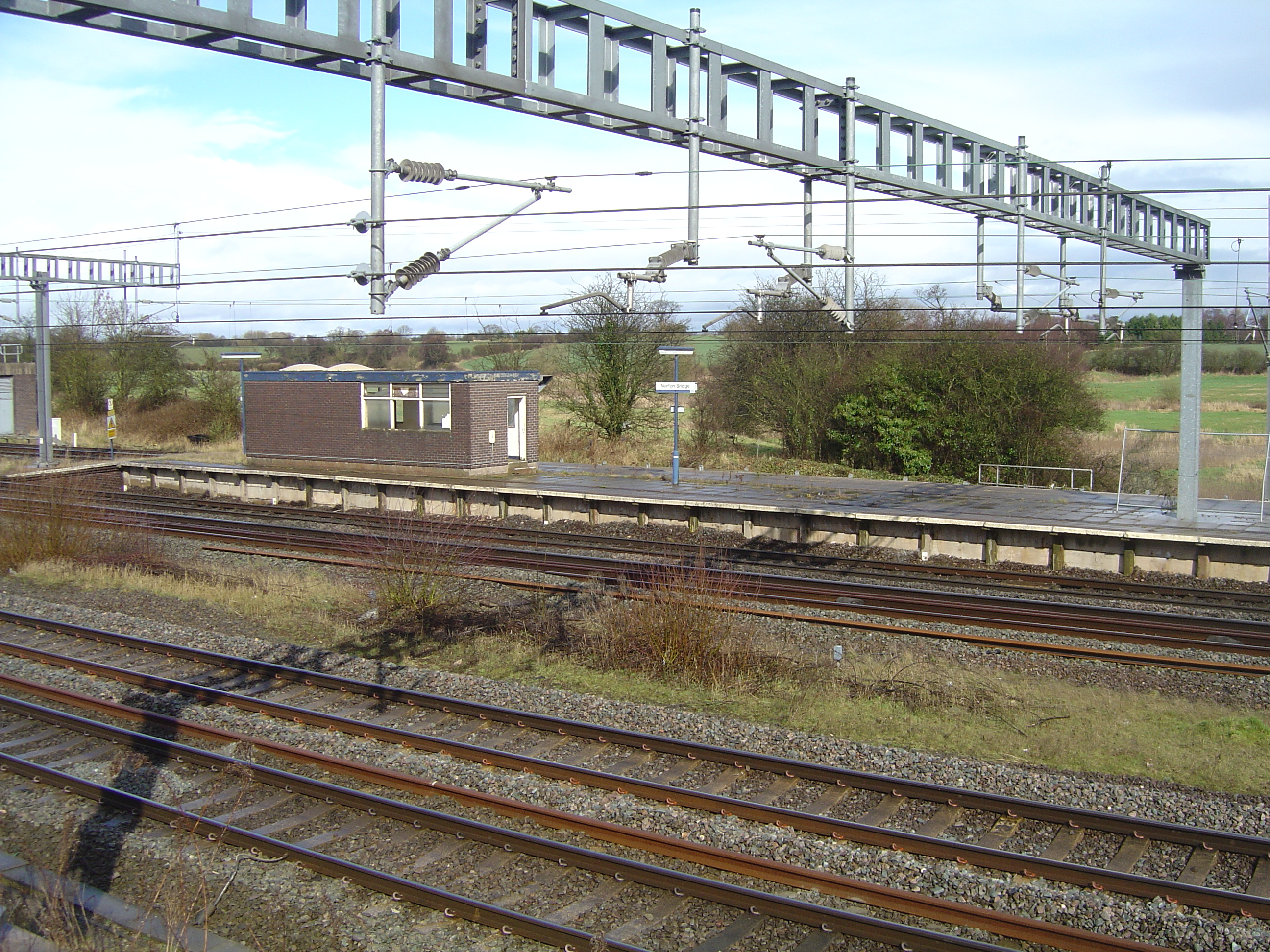
Norton Bridge railway station
Norton Bridge railway station was a railway station located on the West Coast Main Line and served both the village of Norton Bridge and the town of Eccleshall...
Norton Bridge, Staffordshire
Norton Bridge is a village in Staffordshire, England. Until May 2004 it was served by Norton Bridge railway station. == Amenities == At present, Norton...
Cold Meece railway station
Cold Meece railway station was a short-lived railway station built during the Second World War by the London, Midland and Scottish Railway (LMS) to serve...
Nearby Amenities
Located within 500m of 52.885905,-2.1807453Have you been to Cold Norton?
Leave your review of Cold Norton below (or comments, questions and feedback).