Cold Harbour

Settlement in Berkshire Oxford

England

Cold Harbour

A4144 Abingdon Road, Oxford Towards the city centre.
A4144 Abingdon Road, Oxford Credit: Robin Webster

Cold Harbour is a small hamlet located in the county of Berkshire, England. Situated approximately 2 miles northeast of the town of Hungerford, it is surrounded by picturesque countryside and offers a peaceful and rural setting.

The hamlet primarily consists of a handful of residential properties, most of which are traditional cottages made from local brick and timber. The area exudes a charming and quaint atmosphere, with its well-maintained gardens and narrow, winding lanes. The local community is tight-knit and friendly, creating a warm and welcoming environment for residents and visitors alike.

Cold Harbour benefits from its proximity to the nearby town of Hungerford, which provides essential amenities such as shops, schools, and healthcare facilities. The area is also known for its excellent transport links, with the M4 motorway just a short drive away, connecting Cold Harbour to nearby towns and cities.

Nature enthusiasts will find plenty to explore in Cold Harbour and its surrounding areas. The hamlet is situated close to the North Wessex Downs Area of Outstanding Natural Beauty, offering stunning landscapes, scenic walks, and opportunities for outdoor activities such as hiking and cycling.

Overall, Cold Harbour is an idyllic and tranquil place to live, offering a peaceful retreat from the bustle of nearby towns while still providing easy access to essential amenities and the natural beauty of the Berkshire countryside.

If you have any feedback on the listing, please let us know in the comments section below.
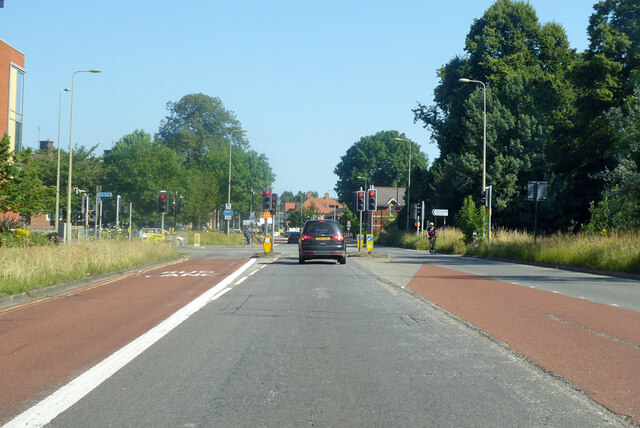
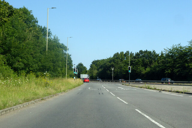
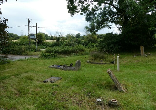
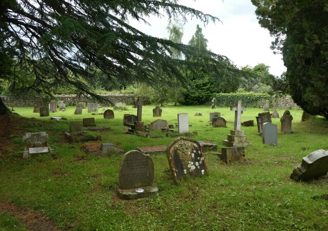
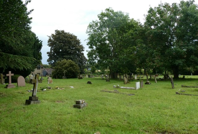
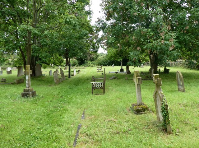
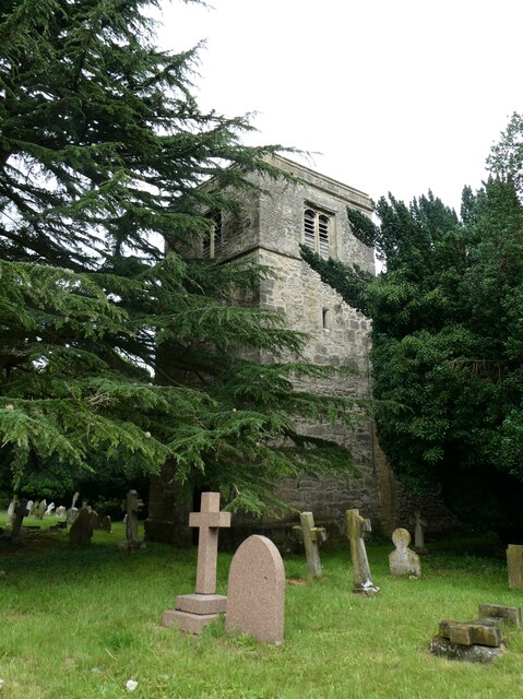
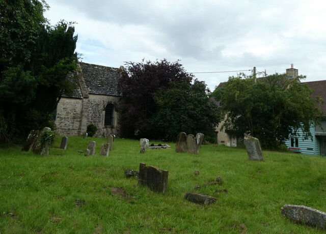
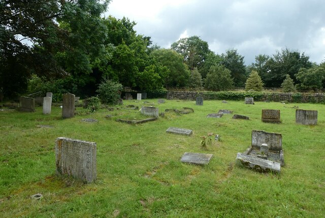
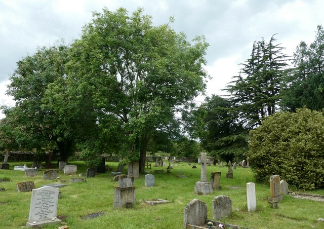
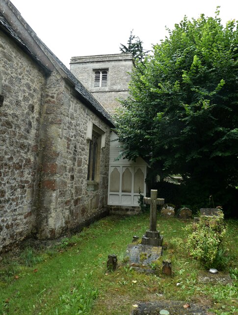
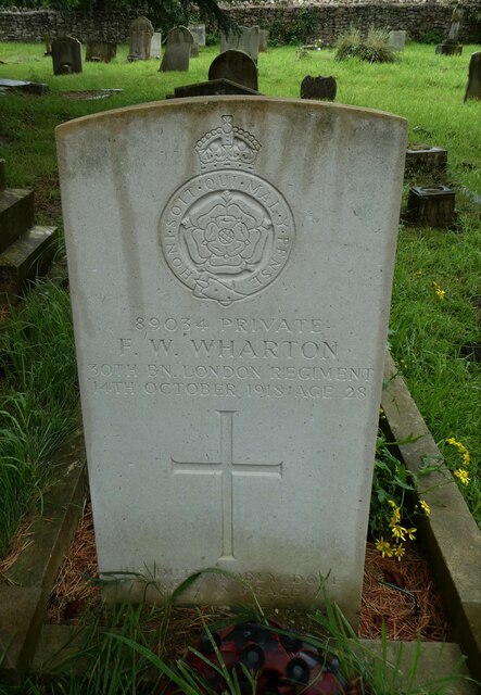
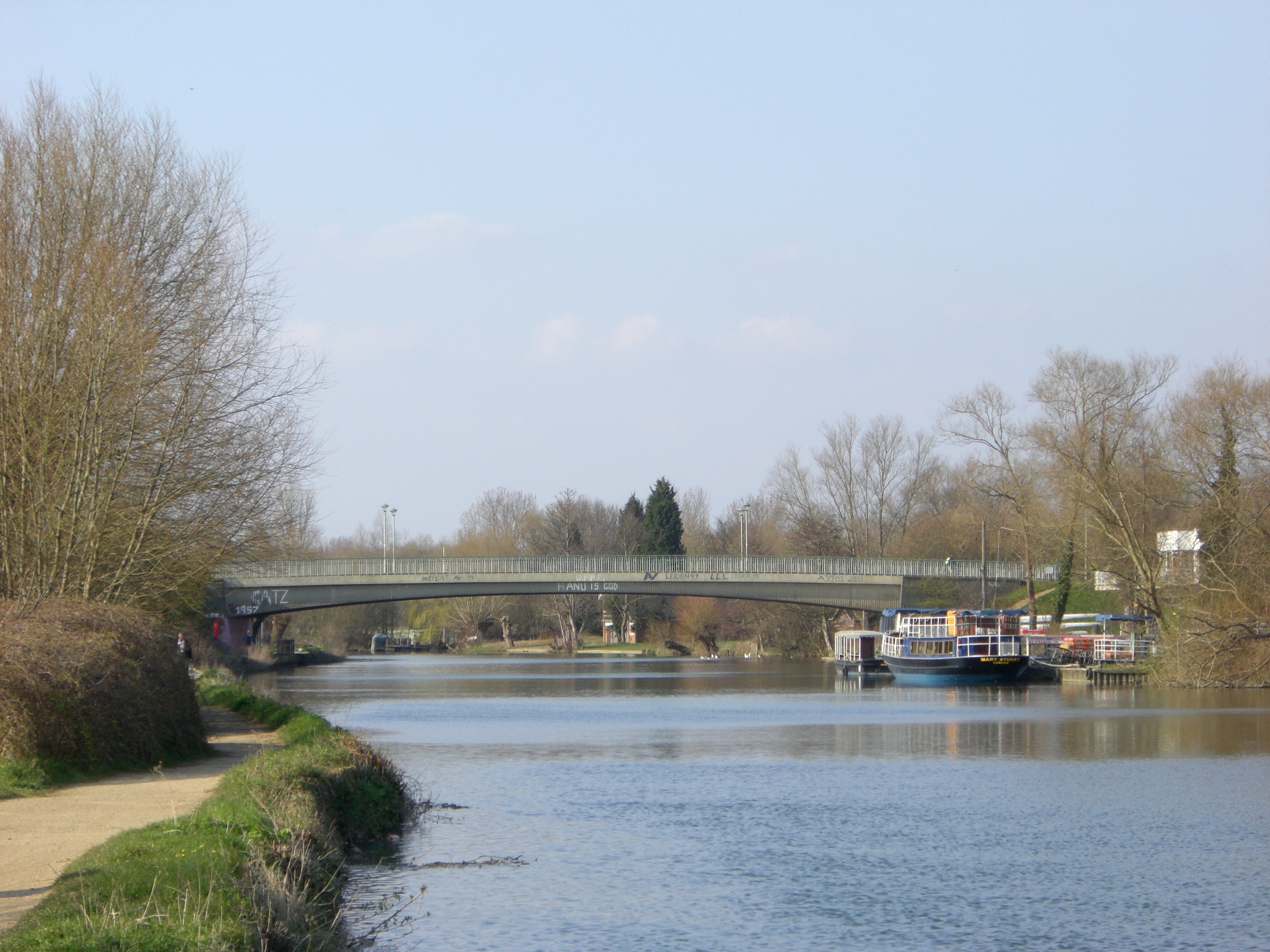
Cold Harbour Images

Images are sourced within 2km of 51.731711/-1.2491607 or Grid Reference SP5103. Thanks to Geograph Open Source API. All images are credited.

A4144 Abingdon Road, Oxford Towards the city centre.
A4144 Abingdon Road, Oxford
Towards the city centre.
A423 Southern Bypass Road Of Oxford, here a slip onto the through route of the bisected roundabout here.
A423 Southern Bypass Road
Of Oxford, here a slip onto the through route of the bisected roundabout here.
Traffic jam in South Hinksey
Looking from South Hinksey Churchyard towards Barleycott Lane
Looking from Bagley Wood Road towards Kennington Old Church
South Hinksey Village Hall A village hall is usually a building within a village which contains at least one large room, usually owned by and run for the benefit of the local community. Such a hall is typically used for a variety of public and private events, such as parish council meetings, sports club functions, local drama productions, dances, jumble sales and private parties. Village halls sometimes have charitable status. They are occasionally called the village institute rather than village hall or community centres.
South Hinksey Village Hall
A village hall is usually a building within a village which contains at least one large room, usually owned by and run for the benefit of the local community. Such a hall is typically used for a variety of public and private events, such as parish council meetings, sports club functions, local drama productions, dances, jumble sales and private parties. Village halls sometimes have charitable status. They are occasionally called the village institute rather than village hall or community centres.
St Laurence, South Hinksey: churchyard (a)
St Laurence, South Hinksey: churchyard (b)
St Laurence, South Hinksey: churchyard (c)
St Laurence, South Hinksey: churchyard (d)
St Laurence, South Hinksey: churchyard (e)
St Laurence, South Hinksey: churchyard (f)
St Laurence, South Hinksey: churchyard (g)
St Laurence, South Hinksey: churchyard (h)
St Laurence, South Hinksey: CWGC grave (1) Private FW Wharton <span class="nowrap"><a title="https://www.cwgc.org/find-records/find-war-dead/casualty-details/648631/F%20W%20WHARTON/" rel="nofollow ugc noopener" href="https://www.cwgc.org/find-records/find-war-dead/casualty-details/648631/F%20W%20WHARTON/">Link</a><img style="margin-left:2px;" alt="External link" title="External link - shift click to open in new window" src="https://s1.geograph.org.uk/img/external.png" width="10" height="10"/></span>
St Laurence, South Hinksey: CWGC grave (1)
Private FW Wharton LinkExternal link
St Laurence, South Hinksey: CWGC grave (2) Private George Henry Cox <span class="nowrap"><a title="https://www.cwgc.org/find-records/find-war-dead/casualty-details/648630/GEORGE%20HENRY%20COX/" rel="nofollow ugc noopener" href="https://www.cwgc.org/find-records/find-war-dead/casualty-details/648630/GEORGE%20HENRY%20COX/">Link</a><img style="margin-left:2px;" alt="External link" title="External link - shift click to open in new window" src="https://s1.geograph.org.uk/img/external.png" width="10" height="10"/></span>
St Laurence, South Hinksey: CWGC grave (2)
Private George Henry Cox LinkExternal link
St Laurence, South Hinksey: CWGC grave (3) Private John Emerson Boyle
St Laurence, South Hinksey: CWGC grave (3)
Private John Emerson Boyle
St Laurence, South Hinksey: CWGC grave (4) Private Charles Henry Bowley <span class="nowrap"><a title="https://www.cwgc.org/find-records/find-war-dead/casualty-details/2437261/CHARLES%20HENRY%20BOWLEY/" rel="nofollow ugc noopener" href="https://www.cwgc.org/find-records/find-war-dead/casualty-details/2437261/CHARLES%20HENRY%20BOWLEY/">Link</a><img style="margin-left:2px;" alt="External link" title="External link - shift click to open in new window" src="https://s1.geograph.org.uk/img/external.png" width="10" height="10"/></span>
St Laurence, South Hinksey: CWGC grave (4)
Private Charles Henry Bowley LinkExternal link
Show me another place!

Cold Harbour is located at Grid Ref: SP5103 (Lat: 51.731711, Lng: -1.2491607)

Administrative County: Oxfordshire

District: Oxford

Police Authority: Thames Valley

What 3 Words

///porch.noses.causes. Near Oxford, Oxfordshire

Related Wikis

Abingdon Road Halt railway station

Abingdon Road Halt railway station was built by the Great Western Railway to serve South Hinksey, a village near Oxford. == History == The station was...

Redbridge, Oxford

Redbridge is located in south Oxford, England, at the southern end of Abingdon Road near the Oxford Ring Road. Redbridge takes its name from a brick bridge...

Templeton College, Oxford

Templeton College was one of the constituent colleges of the University of Oxford, England. It was an all-graduate college, concentrating on the recruitment...

Iffley Meadows

Iffley Meadows is a 36.1-hectare (89-acre) biological Site of Special Scientific Interest in Oxford in Oxfordshire. It is owned by Oxford City Council...

Rose Hill, Oxfordshire

Rose Hill is a residential area, with some housing that has been council-owned, on the southern outskirts of Oxford, England. According to the 2001 Census...

Donnington Bridge

Donnington Bridge is a modern road bridge (completed in 1962) over the River Thames, in the south of the city of Oxford, England. At this point the river...

New Hinksey

New Hinksey is a suburb in the south of the city of Oxford. == Geography == The suburb is west of the Abingdon Road (A4144). To the north is Grandpont...

City of Oxford Rowing Club

City of Oxford Rowing Club is a rowing club on the River Thames based on Meadow Lane, Donnington, Oxford, Oxfordshire. == History == The club was founded...

Nearby Amenities

Located within 500m of 51.731711,-1.2491607
Traffic Signals
Source: local_knowledge
Lat/Long: 51.7341335/-1.250111
Crossing
Crossing: traffic_signals
Crossing Island: no
Crossing Ref: pelican
Tactile Paving: yes
Lat/Long: 51.7330106/-1.2493308
Traffic Signals
Source: local_knowledge
Lat/Long: 51.7317712/-1.2488085
Turning Circle
Source: gps_survey;local_knowledge
Lat/Long: 51.733479/-1.2515241
Turning Circle
Lat/Long: 51.7355232/-1.2474079
Turning Circle
Source: local_knowledge
Turning Circle: circle
Lat/Long: 51.7337221/-1.2484696
Barrier: bollard
Lat/Long: 51.7325026/-1.2502346
Barrier: kissing_gate
Lat/Long: 51.7296319/-1.2547198
Barrier: bollard
Bicycle: yes
Bollard: fixed
Foot: yes
Horse: yes
Material: metal
Maxwidth: 1.5
Motor Vehicle: no
Wheelchair: yes
Lat/Long: 51.7277372/-1.2498127
Waterway: weir
Lat/Long: 51.7343272/-1.2461878
Note: point at which W.L. becomes D.B.R,
Source: photograph
Lat/Long: 51.734721/-1.2463256
Traffic Signals
Lat/Long: 51.7278805/-1.2473833
Power: tower
Lat/Long: 51.7305264/-1.254052
Crossing
Bicycle: yes
Crossing: traffic_signals
Crossing Ref: toucan
Lat/Long: 51.7350264/-1.250608
Traffic Signals
Bicycle: yes
Crossing: traffic_signals
Crossing Ref: toucan
Source: photograph
Lat/Long: 51.7316082/-1.2487519
Traffic Signals
Crossing: traffic_signals
Lat/Long: 51.7299992/-1.2482531
Toilets
Fee: no
Wheelchair: yes
Lat/Long: 51.7295744/-1.2487408
Barrier: cattle_grid
Lat/Long: 51.7347171/-1.2447767
Crossing
Bicycle: yes
Crossing: traffic_signals
Crossing Ref: toucan
Lat/Long: 51.7317422/-1.2490383
Source: photograph
Lat/Long: 51.7350667/-1.247333
Barrier: bollard
Source: photograph
Lat/Long: 51.73399/-1.2502205
Barrier: bollard
Source: photograph
Lat/Long: 51.7350823/-1.2478355
Crossing
Crossing: unmarked
Crossing Island: no
Crossing Markings: no
Tactile Paving: yes
Traffic Calming: table
Lat/Long: 51.7348525/-1.2503748
Cycleway: asl
Direction: forward
Lat/Long: 51.7342733/-1.2501995
Bicycle Parking
Bicycle Parking: stands
Capacity: 20
Covered: no
Lit: yes
Lat/Long: 51.7297508/-1.2487184
Barrier: bollard
Lat/Long: 51.7334469/-1.2513947
Bus Stop
Chatham Road
Bench: yes
Bin: yes
Bus: yes
Covered: yes
Local Ref: opp
Naptan AtcoCode: 340000991OUT
Naptan Bearing: N
Naptan CommonName: Chatham Road
Naptan Indicator: Opposite
Naptan Landmark: Garage
Naptan NaptanCode: oxfadpwa
Naptan PlusbusZoneRef: OXFD
Naptan Street: Abingdon Road
Passenger Information Display: no
Public Transport: platform
Ref: 69323792
Route Ref: 46;34;35;NX1;X1;X2;X3;X32
Shelter: yes
Source: naptan_import
Lat/Long: 51.7347057/-1.2505406
Barrier: kissing_gate
Lat/Long: 51.7340814/-1.2452383
Bus Stop
Redbridge Park and Ride
Bench: yes
Bin: yes
Bus: yes
Covered: yes
Lit: yes
Naptan AtcoCode: 340000418PR
Naptan Bearing: N
Naptan CommonName: Redbridge Park and Ride
Naptan Indicator: Car Park
Naptan Landmark: terminal building
Naptan NaptanCode: oxfapmwt
Naptan PlusbusZoneRef: OXFD
Naptan ShortCommonName: Redbridge P+R
Naptan Street: Abingdon Road
Naptan Verified: no
Park And Ride: 300
Passenger Information Display: no
Public Transport: platform
Route Ref: 300;ST1;X2;X3;X32;X1;NX1;43
Shelter: yes
Source: naptan_import
Tactile Paving: no
Lat/Long: 51.7296497/-1.2485705
Bus Stop
Chatham Road
Bench: no
Bin: yes
Covered: no
Direction: S
Naptan AtcoCode: 340000991CNR
Naptan Bearing: S
Naptan CommonName: Chatham Road
Naptan Indicator: Corner
Naptan Landmark: Chatham Road
Naptan NaptanCode: oxfadpwd
Naptan PlusbusZoneRef: OXFD
Naptan Street: Abingdon Road
Naptan Verified: no
Passenger Information Display: no
Public Transport: platform
Ref: 69323793
Route Ref: 46;43;35;NX1;X1;X2;X3;X32
Shelter: no
Source: naptan_import
Tactile Paving: no
Lat/Long: 51.7353695/-1.2507344
Bus Stop
Weirs Lane
Bus: yes
Naptan AtcoCode: 340001250CAN
Naptan Bearing: W
Naptan CommonName: Weirs Lane
Naptan Indicator: Westbound
Naptan Landmark: Weirs Lane
Naptan NaptanCode: oxfajdga
Naptan PlusbusZoneRef: OXFD
Naptan Street: Weirs Lane
Public Transport: platform
Route Ref: 12;16;16A
Shelter: no
Source: naptan_import
Lat/Long: 51.7343651/-1.2483452
Bus Stop
Weirs Lane
Bus: yes
Naptan AtcoCode: 340001250FOX
Naptan Bearing: E
Naptan CommonName: Weirs Lane
Naptan Indicator: Eastbound
Naptan Landmark: Weirs Lane
Naptan NaptanCode: oxfajdaw
Naptan PlusbusZoneRef: OXFD
Naptan Street: Weirs Lane
Public Transport: platform
Shelter: no
Source: naptan_import
Lat/Long: 51.7344103/-1.2489558
Bus Stop
Canning Crescent
Bus: yes
Naptan AtcoCode: 340001266OPP
Naptan Bearing: N
Naptan CommonName: Canning Crescent
Naptan Indicator: Opposite
Naptan Landmark: Canning Crescent
Naptan NaptanCode: oxfagwpa
Naptan PlusbusZoneRef: OXFD
Naptan Street: Abingdon Road
Public Transport: platform
Shelter: no
Source: naptan_import
Lat/Long: 51.7326362/-1.2492455
Bus Stop
Canning Crescent
Bench: yes
Bin: yes
Bus: yes
Lit: yes
Local Ref: o/s
Naptan AtcoCode: 340001266OUT
Naptan Bearing: S
Naptan CommonName: Canning Crescent
Naptan Indicator: Outside
Naptan Landmark: Canning Crescent
Naptan NaptanCode: oxfajamj
Naptan PlusbusZoneRef: OXFD
Naptan Street: Abingdon Road
Public Transport: platform
Ref: 69325265
Route Ref: 31;N31;34;35;44;200;N32;X2;X3;X13;X23;X32;X39;X40;X41
Shelter: no
Source: naptan_import
Tactile Paving: no
Lat/Long: 51.7328214/-1.2490649
Bus Stop
Bertie Place
Bus: yes
Naptan AtcoCode: 340001371ENT
Naptan Bearing: SW
Naptan CommonName: Bertie Place
Naptan Indicator: Car Park Exit
Naptan Landmark: Redbridge Park and Ride
Naptan NaptanCode: oxfagmdt
Naptan PlusbusZoneRef: OXFD
Naptan ShortCommonName: Bertie Place
Naptan Street: Abingdon Road
Public Transport: platform
Ref: 69324636
Route Ref: 35
Shelter: no
Source: naptan_import
Lat/Long: 51.7312121/-1.2502401
Bus Stop
Bertie Place
Bench: no
Bin: no
Bus: yes
Naptan AtcoCode: 340001371EX
Naptan Bearing: NE
Naptan CommonName: Bertie Place
Naptan Indicator: Opposite Car Park Exit
Naptan Landmark: Redbridge Park and Ride
Naptan NaptanCode: oxfagmdp
Naptan PlusbusZoneRef: OXFD
Naptan ShortCommonName: Bertie Place
Naptan Street: Abingdon Road
Public Transport: platform
Ref: 69324637
Route Ref: 31;34;35
Shelter: no
Source: naptan_import
Tactile Paving: no
Lat/Long: 51.7314926/-1.2499719
Post Box
Collection Times: Mo-Fr 18:30; Sa 10:30
Ref: OX1 135
Lat/Long: 51.7325909/-1.248983
Power: tower
Lat/Long: 51.730622/-1.2554708
Power: tower
Lat/Long: 51.7284232/-1.251685
Power: tower
Lat/Long: 51.7284031/-1.2526499
Crossing
Bicycle: yes
Crossing: uncontrolled
Crossing Markings: no
Lat/Long: 51.7296759/-1.253492
Barrier: cycle_barrier
Bicycle: yes
Foot: yes
Lat/Long: 51.7292467/-1.2544476
Operator: Network Rail
Railway: switch
Lat/Long: 51.7333054/-1.255205
Operator: Network Rail
Railway: switch
Lat/Long: 51.7336494/-1.2555642
Operator: Network Rail
Railway: switch
Lat/Long: 51.7311494/-1.2532931
Operator: Network Rail
Railway: switch
Lat/Long: 51.7309838/-1.253179
Railway: buffer_stop
Lat/Long: 51.7318799/-1.2539805
Noexit: yes
Lat/Long: 51.7309957/-1.2496307
Recycling
Source: Bing
Lat/Long: 51.730877/-1.249382
Barrier: height_restrictor
Lat/Long: 51.7311114/-1.2494004
Operator: Network Rail
Railway: switch
Lat/Long: 51.7303605/-1.25263
Crossing
Crossing: uncontrolled
Lat/Long: 51.7348491/-1.2506115
Crossing
Crossing: unmarked
Crossing Island: yes
Crossing Markings: no
Tactile Paving: yes
Lat/Long: 51.7342497/-1.2501864
Crossing
Crossing: unmarked
Crossing Island: yes
Crossing Markings: no
Tactile Paving: yes
Lat/Long: 51.7339892/-1.2500044
Crossing
Crossing: traffic_signals
Crossing Island: yes
Crossing Markings: no
Tactile Paving: yes
Lat/Long: 51.7341655/-1.2499284
Traffic Signals
Lat/Long: 51.7278988/-1.2483783
Crossing
Crossing: uncontrolled
Crossing Markings: no
Lat/Long: 51.734592/-1.246778
Cold Harbour
Place: neighbourhood
Source: local knowledge
Lat/Long: 51.7343639/-1.2486907
Operator: Network Rail
Railway: switch
Lat/Long: 51.7288237/-1.2514682
Operator: Network Rail
Railway: switch
Lat/Long: 51.7293581/-1.251773
Operator: Network Rail
Railway: switch
Lat/Long: 51.7293125/-1.2517966
Millstream Junction
Historic Railway: junction
Railway: site
Lat/Long: 51.7334787/-1.2546865
Operator: Network Rail
Railway: switch
Lat/Long: 51.7295911/-1.2519634
Entrance: yes
Lat/Long: 51.7359003/-1.2514479
Entrance: main
Lat/Long: 51.7347691/-1.2506927
Crossing
Crossing: uncontrolled
Crossing Ref: zebra
Lat/Long: 51.7344527/-1.2479823
Addr Housenumber: 2
Addr Postcode: OX1 4TG
Addr Street: Northampton Road
Entrance: main
Lat/Long: 51.735421/-1.2516354
Addr Street: Abingdon Road
Entrance: main
Lat/Long: 51.7345538/-1.250579
Entrance: yes
Lat/Long: 51.7359401/-1.2513291
Addr Housenumber: 288
Addr Postcode: OX1 4TE
Addr Street: Abingdon Road
Entrance: main
Lat/Long: 51.735961/-1.251341
Addr Housenumber: 298
Addr Street: Abingdon Road
Entrance: yes
Lat/Long: 51.7356732/-1.2511891
Recycling
Recycling Paint: yes
Recycling Type: container
Lat/Long: 51.7296432/-1.2514506
Waste Disposal
Description: Landfill
Note: Landfill waste container
Waste: trash
Lat/Long: 51.7297296/-1.2511995
Recycling
Recycling Scrap Metal: yes
Recycling Type: container
Lat/Long: 51.7297521/-1.251412
Recycling
Recycling Bicycles: yes
Recycling Type: container
Lat/Long: 51.7297729/-1.2516775
Recycling
Recycling Cardboard: yes
Recycling Type: container
Lat/Long: 51.7298111/-1.2511349
Recycling
Recycling Rubble: yes
Recycling Type: container
Lat/Long: 51.7298744/-1.2515758
Recycling
Recycling Glass: yes
Lat/Long: 51.7300205/-1.2510617
Recycling
Recycling Cans: yes
Recycling Type: container
Lat/Long: 51.7300828/-1.2511024
Recycling
Recycling Plastic: yes
Recycling Type: container
Lat/Long: 51.7302535/-1.2512329
Recycling
Recycling Computers: yes
Recycling Tv Monitor: yes
Recycling Type: container
Lat/Long: 51.7303126/-1.2512743
Recycling
Recycling Batteries: yes
Recycling Type: container
Lat/Long: 51.7303961/-1.2513233
Cycleway: asl
Source: Bing;local_knowledge
Lat/Long: 51.7317312/-1.2490896
Cycleway: asl
Source: Bing;local_knowledge
Lat/Long: 51.7318567/-1.2488445
Post Box
Check Date: 2021-11-30
Collection Times: Mo-Fr 18:30; Sa 11:30
Post Box Type: pillar
Ref: OX1 836
Royal Cypher: EIIR
Source: photograph
Lat/Long: 51.7351425/-1.2508222
Weighbridge
Source: local_knowledge
Lat/Long: 51.7303922/-1.2516258
Addr Housenumber: 416A
Addr Street: Abingdon Road
Entrance: yes
Lat/Long: 51.7318433/-1.2496011
Oxford Dive Centre
Entrance: yes
Lat/Long: 51.7353264/-1.2512451
Addr Flats: 1-4
Entrance: yes
Lat/Long: 51.7330537/-1.2490377
Entrance: yes
Lat/Long: 51.7330387/-1.2491055
Entrance: yes
Lat/Long: 51.7321298/-1.2479179
Entrance: yes
Lat/Long: 51.7318068/-1.2479672
Entrance: yes
Lat/Long: 51.7319628/-1.2470523
Entrance: yes
Lat/Long: 51.7323474/-1.2472692
Entrance: yes
Lat/Long: 51.7322572/-1.2468106
Entrance: yes
Lat/Long: 51.7317588/-1.247711
Entrance: yes
Lat/Long: 51.7323472/-1.2481311
Entrance: yes
Lat/Long: 51.7322137/-1.2474158
Entrance: yes
Lat/Long: 51.7320365/-1.2474269
Barrier: bollard
Bicycle: yes
Bollard: fixed
Foot: yes
Horse: yes
Material: metal
Maxwidth: 1.5
Motor Vehicle: no
Wheelchair: yes
Lat/Long: 51.7282977/-1.2473684
Barrier: block
Bicycle: yes
Foot: yes
Motor Vehicle: no
Lat/Long: 51.7351317/-1.2475204
Format: triangular prism
Height: 0.6
Historic: milestone
Inscription: TO OXFORD 1 MILE - TO ABINGDON 5 MILES
Lat/Long: 51.7326268/-1.2489936
Give Way
Lat/Long: 51.734471/-1.247609
Give Way
Lat/Long: 51.7345623/-1.2476369
Traffic Signals
Lat/Long: 51.7277608/-1.2482697
Barrier: kissing_gate
Designation: Access to parkland
Source: Oxford City Parks Department
Lat/Long: 51.7283796/-1.2528363
Barrier: kissing_gate
Designation: Access to Kendall Copse West (woodland).
Source: Oxford City Parks Department
Lat/Long: 51.7281237/-1.2530562
Entrance: yes
Lat/Long: 51.7314449/-1.2491391
Traffic Signals
Lat/Long: 51.727688/-1.247402
Traffic Signals
Lat/Long: 51.7278454/-1.2471312
Traffic Signals
Lat/Long: 51.7278549/-1.2475898
Traffic Signals
Lat/Long: 51.7278707/-1.248565
Traffic Signals
Lat/Long: 51.727962/-1.2485403
Traffic Signals
Lat/Long: 51.7280446/-1.2485727
Give Way
Lat/Long: 51.7282567/-1.2477607
Traffic Calming: island
Lat/Long: 51.7290965/-1.24809
Bicycle Parking
Bicycle Parking: stands
Capacity: 8
Covered: yes
Lat/Long: 51.7315568/-1.2492157
Barrier: kissing_gate
Bicycle: yes
Foot: yes
Lat/Long: 51.7309506/-1.2439986
Barrier: kissing_gate
Bicycle: yes
Foot: yes
Lat/Long: 51.7299472/-1.2458055
Bicycle Parking
Bicycle Parking: stands
Capacity: 28
Covered: no
Lit: yes
Lat/Long: 51.7297865/-1.2486066
Atm
Operator: Tesco
Lat/Long: 51.7339353/-1.2497227
Barrier: bollard
Bollard: fixed
Lat/Long: 51.7329225/-1.2490208
Addr Housenumber: 1
Addr Street: Leander Way
Entrance: yes
Lat/Long: 51.732583/-1.2473057
Addr Housenumber: 3
Addr Street: Leander Way
Entrance: yes
Lat/Long: 51.7326159/-1.247315
Addr Housenumber: 5
Addr Street: Leander Way
Entrance: yes
Lat/Long: 51.7326697/-1.2473301
Addr Housenumber: 7
Addr Street: Leander Way
Entrance: yes
Lat/Long: 51.7327023/-1.2473393
Addr Housenumber: 9
Addr Street: Leander Way
Entrance: yes
Lat/Long: 51.7327605/-1.2473556
Addr Housenumber: 11
Addr Street: Leander Way
Entrance: yes
Lat/Long: 51.7327893/-1.2473638
Addr Housenumber: 13
Addr Street: Leander Way
Entrance: yes
Lat/Long: 51.7328495/-1.2473807
Note: There is no number 13
Lat/Long: 51.7328208/-1.2473726
Addr Housenumber: 1
Addr Street: Isis Close
Entrance: yes
Lat/Long: 51.7326116/-1.2476943
Addr Housenumber: 2
Addr Street: Isis Close
Entrance: yes
Lat/Long: 51.7326062/-1.2477468
Addr Housenumber: 3
Addr Street: Isis Close
Entrance: yes
Lat/Long: 51.7325962/-1.2478451
Addr Housenumber: 4
Addr Street: Isis Close
Entrance: yes
Lat/Long: 51.7325914/-1.2478917
Addr Housenumber: 5
Addr Street: Isis Close
Entrance: yes
Lat/Long: 51.7325817/-1.2479863
Addr Housenumber: 6
Addr Street: Isis Close
Entrance: yes
Lat/Long: 51.732574/-1.2480616
Addr Housenumber: 15
Addr Street: Gordon Woodward Way
Entrance: yes
Lat/Long: 51.7325645/-1.2481671
Addr Housenumber: 11
Addr Street: Gordon Woodward Way
Entrance: yes
Lat/Long: 51.7325575/-1.2482342
Addr Housenumber: 9
Addr Street: Gordon Woodward Way
Entrance: yes
Lat/Long: 51.7325487/-1.2483195
Addr Housenumber: 7
Addr Street: Gordon Woodward Way
Entrance: yes
Lat/Long: 51.7325429/-1.2483756
Addr Housenumber: 5
Addr Street: Gordon Woodward Way
Entrance: yes
Lat/Long: 51.7325354/-1.2484474
Addr Housenumber: 3
Addr Street: Gordon Woodward Way
Entrance: yes
Lat/Long: 51.7325272/-1.2485266
Addr Housenumber: 1
Addr Street: Gordon Woodward Way
Entrance: yes
Lat/Long: 51.7325218/-1.2485784
Waste Basket
Lat/Long: 51.7316372/-1.2483595
Entrance: yes
Lat/Long: 51.7323633/-1.2479599
Hinksey South
Railway: junction
Ref Tiploc: HINKSYS
Lat/Long: 51.7310859/-1.2532246
Bicycle Parking
Bicycle Parking: stands
Capacity: 12
Lat/Long: 51.7338996/-1.2497927
Redbridge
Place: neighbourhood
Lat/Long: 51.7302192/-1.2525363
Turning Circle
Source: Bing
Lat/Long: 51.7324653/-1.2501923
Operator: Network Rail
Railway: switch
Lat/Long: 51.7321295/-1.2541736
Barrier: height_restrictor
Maxheight: 2.1
Lat/Long: 51.729118/-1.2485835
SD Timmo Cars Sales
Shop: car
Website: https://www.sdtimmocarsales.co.uk/
Lat/Long: 51.7355829/-1.2511984
Operator: Network Rail
Railway: switch
Lat/Long: 51.7300383/-1.2523777
Barrier: bollard
Bicycle: yes
Bollard: fixed
Foot: yes
Horse: yes
Material: metal
Maxwidth: 1.5
Motor Vehicle: no
Wheelchair: yes
Lat/Long: 51.728229/-1.2474144
Barrier: bollard
Bicycle: yes
Bollard: foldable
Foot: yes
Horse: yes
Material: concrete
Maxwidth: 1.5
Motor Vehicle: no
Wheelchair: yes
Lat/Long: 51.7275559/-1.2464984
Barrier: bollard
Bicycle: yes
Bollard: foldable
Foot: yes
Horse: yes
Material: concrete
Maxwidth: 1.5
Motor Vehicle: no
Wheelchair: yes
Lat/Long: 51.7275198/-1.2465461
Charging Station
Fastned Red Bridge Park & Ride
Access: yes
Capacity: 10
Fee: yes
Opening Hours: 24/7
Operator: Fastned
Operator Wikidata: Q19935749
Payment App: yes
Payment Contactless: yes
Socket Chademo: 3
Socket Chademo Output: 50 kW
Socket Type2 Combo: 10
Socket Type2 Combo Output: 300 kW
Lat/Long: 51.7295433/-1.2489589
Abingdon Road
Historic Railway: halt
Railway: site
Wikidata: Q4667841
Wikipedia: en:Abingdon Road Halt railway station
Lat/Long: 51.730049/-1.2523257
Charging Station
Oxford Redbridge Supercharger
Access: yes
Addr City: Oxford
Addr Country: GB
Addr Postcode: OX1 4XG
Addr Street: Abingdon Road
Brand: Tesla, Inc.
Brand Wikidata: Q478214
Capacity: 12
Fee: yes
Opening Hours: 24/7
Operator: Tesla, Inc.
Operator Wikidata: Q478214
Short Name: Tesla
Socket Tesla Supercharger: 12
Socket Tesla Supercharger Output: 250 kW
Socket Tesla Supercharger Ccs: 12
Socket Tesla Supercharger Ccs Output: 250 kW
Website: https://www.tesla.com/findus/location/supercharger/OxfordRedbridgegbsupercharger
Lat/Long: 51.7296569/-1.2495055
Direction: 170
Generator Method: photovoltaic
Generator Output Electricity: yes
Generator Solar Modules: 7
Generator Source: solar
Generator Type: solar_photovoltaic_panel
Location: roof
Power: generator
Lat/Long: 51.7335131/-1.2484284
Fixme: solar panels?
Lat/Long: 51.7345329/-1.2511558
Crossing
Crossing: unmarked
Crossing Markings: no
Lat/Long: 51.7355083/-1.2509551
Bicycle Parking
Bicycle Parking: streetpod
Capacity: 10
Covered: yes
Lit: yes
Lat/Long: 51.7298073/-1.2487317
Bicycle Parking
Bicycle Parking: streetpod
Capacity: 20
Covered: yes
Lit: yes
Lat/Long: 51.7309028/-1.2497557
Bicycle Parking
Bicycle Parking: stands
Capacity: 4
Covered: no
Lit: yes
Lat/Long: 51.7308773/-1.2498085
Bicycle Parking
Bicycle Parking: stands
Capacity: 19
Covered: no
Lit: yes
Lat/Long: 51.7308556/-1.2497747
Noexit: yes
Lat/Long: 51.7295277/-1.2485539
Crossing
Crossing: uncontrolled
Crossing Markings: zebra
Tactile Paving: no
Lat/Long: 51.7295824/-1.2485989
Crossing
Crossing: uncontrolled
Crossing Markings: surface
Lat/Long: 51.7296255/-1.2485045
Entrance: yes
Lat/Long: 51.729578/-1.2486817
Oxford Park & Ride
Historic: memorial
Inscription: The first enduring P&R bus scheme in the UK and model for other cities was launched here at Redbridge in December 1973
Memorial: blue_plaque
Lat/Long: 51.7296575/-1.2486945
Telephone
Booth: KX100
Covered: booth
Operator: BT
Payment Coins: yes
Payment Debit Cards: yes
Lat/Long: 51.7350756/-1.2507463
Barrier: height_restrictor
Maxheight: 2.1
Lat/Long: 51.7310323/-1.2497532
Crossing
Lat/Long: 51.733532/-1.2495738
Bench
Lat/Long: 51.7348548/-1.2454832
Crossing
Crossing: uncontrolled
Crossing Markings: no
Lat/Long: 51.7346383/-1.2476628
Crossing
Crossing: uncontrolled
Crossing Markings: no
Lat/Long: 51.7343544/-1.2475643
Crossing
Crossing: uncontrolled
Lat/Long: 51.7343068/-1.2486792
Stop
Direction: forward
Lat/Long: 51.7343373/-1.2502346
Crossing
Crossing: uncontrolled
Lat/Long: 51.7346439/-1.250494
The data included in this document is from www.openstreetmap.org. The data is made available under ODbL.

Have you been to Cold Harbour?

Leave your review of Cold Harbour below (or comments, questions and feedback).