Cogger's Cross
Settlement in Sussex Wealden
England
Cogger's Cross

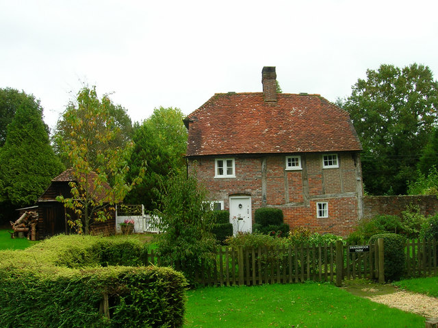
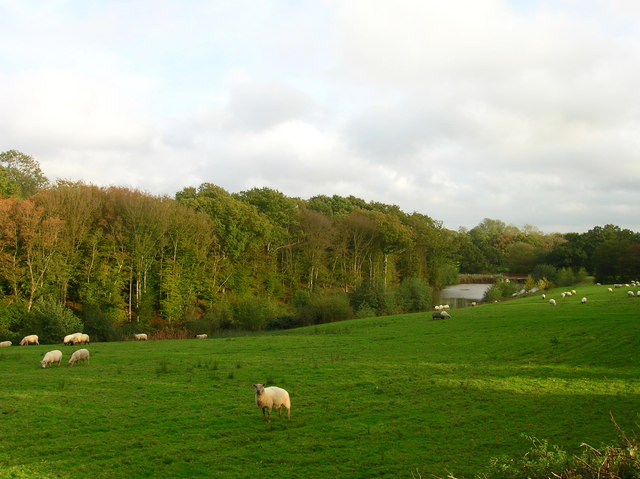
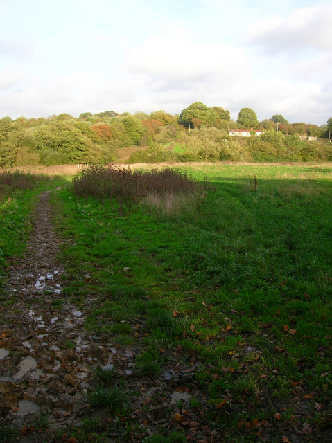
Cogger's Cross is a small village located in the county of Sussex, England. Situated in the heart of the South Downs National Park, it is known for its picturesque surroundings and tranquil atmosphere. The village is nestled amidst rolling hills and lush green fields, providing residents and visitors with breathtaking views of the surrounding countryside.
Cogger's Cross has a rich history that dates back several centuries. It was originally a stopover point for travelers during medieval times, serving as a resting place for those journeying between nearby towns and villages. The village grew over time, with the construction of a church in the 12th century, which still stands today as a testament to its historical significance.
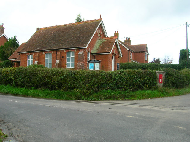
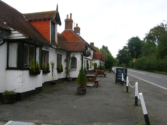
Today, Cogger's Cross is a close-knit community with a small population. It offers a range of amenities to cater to the needs of its residents, including a village hall, a primary school, and a local pub. The village retains its traditional charm, with many of its buildings reflecting the architectural style of yesteryears.
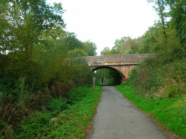
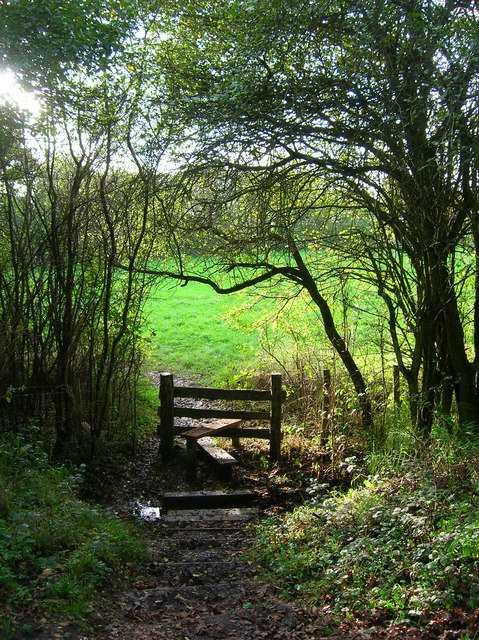
The surrounding countryside provides ample opportunities for outdoor activities such as hiking, cycling, and horseback riding. The South Downs Way, a popular long-distance trail, passes nearby, attracting outdoor enthusiasts from far and wide. The area is also known for its diverse wildlife, with numerous species of birds and mammals calling it home.
In conclusion, Cogger's Cross is a picturesque village in Sussex, boasting stunning natural surroundings and a rich history. It offers a peaceful retreat for those seeking a break from the hustle and bustle of city life, while providing a range of amenities and outdoor activities for residents and visitors alike.
If you have any feedback on the listing, please let us know in the comments section below.
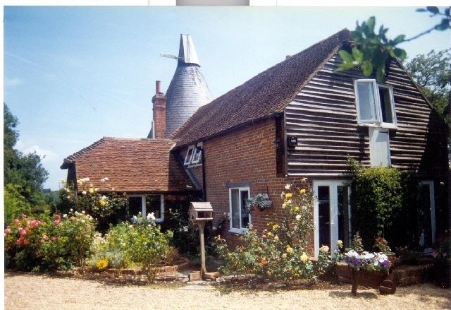
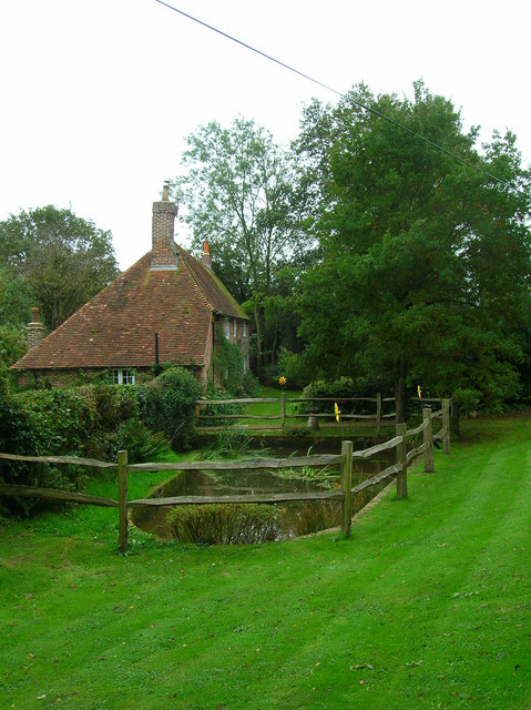
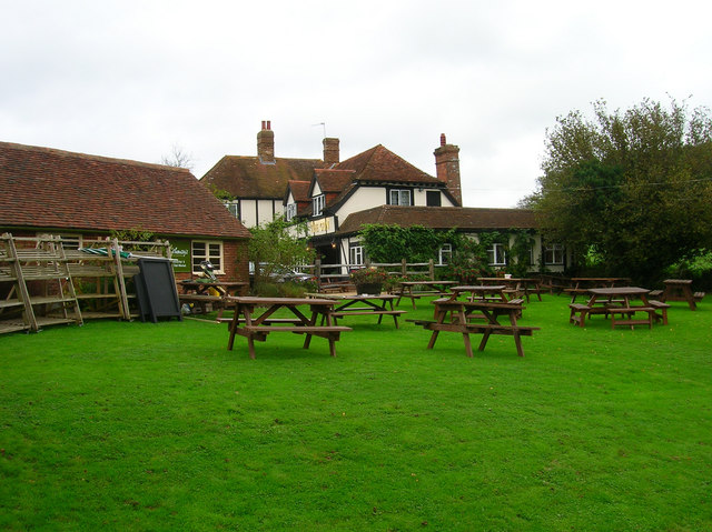
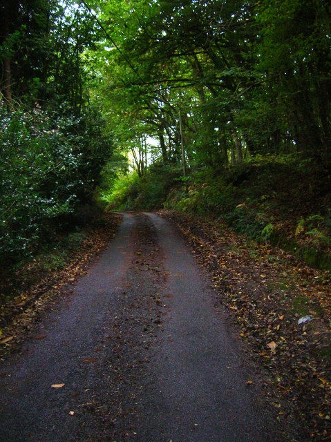
Cogger's Cross Images
Images are sourced within 2km of 50.917608/0.24399904 or Grid Reference TQ5715. Thanks to Geograph Open Source API. All images are credited.


Cogger's Cross is located at Grid Ref: TQ5715 (Lat: 50.917608, Lng: 0.24399904)
Administrative County: East Sussex
District: Wealden
Police Authority: Sussex
What 3 Words
///racetrack.pupils.variously. Near Horam, East Sussex
Nearby Locations
Related Wikis

Horam
Horam is a village, electoral ward and civil parish in the Wealden District of East Sussex, situated three miles (4.8 km) south of Heathfield. Included...

Gun Hill, East Sussex
Gun Hill is a hamlet in the civil parish of Chiddingly in the Wealden district of East Sussex, England. It is one of the seven hills of the parish in which...
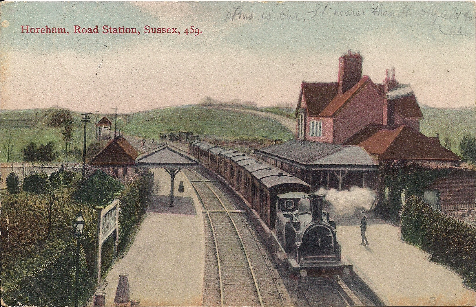
Horam railway station
Horam railway station was on the Cuckoo Line between Hellingly and Heathfield, serving the village of Horam. == History == The station was opened by the...
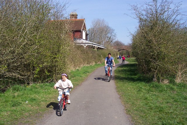
Cuckoo Trail
The Cuckoo Trail is a 14-mile (23 km) footpath and cycleway which runs from Hampden Park to Heathfield in East Sussex. It passes through the towns of Polegate...

Hellingly
Hellingly (pronounced 'Helling-lye') is a village, and can also refer to a civil parish, and to a district ward, in the Wealden District of East Sussex...

Maynard's Green
Maynard's Green is a village in the Wealden district of East Sussex. == External links == Maynards Green Community Primary School
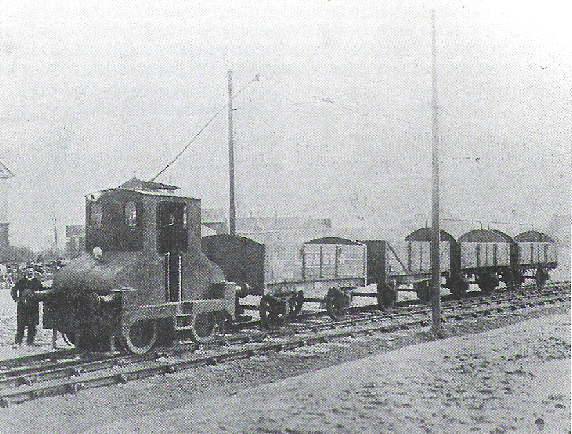
Hellingly Hospital Railway
The Hellingly Hospital Railway was a light railway owned and operated by East Sussex County Council, used for transporting coal and passengers to Hellingly...

Horselunges Manor
Horselunges Manor is a 15th-century manor house in Hellingly, East Sussex, that was restored in the 20th century. The house was previously owned by Peter...
Nearby Amenities
Located within 500m of 50.917608,0.24399904Have you been to Cogger's Cross?
Leave your review of Cogger's Cross below (or comments, questions and feedback).