Cock and End
Settlement in Suffolk West Suffolk
England
Cock and End
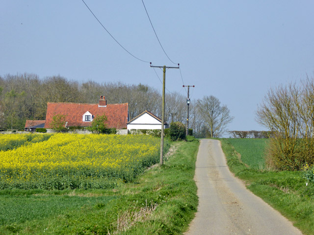
Cock and End is a small village located in the county of Suffolk, England. Situated in the eastern part of the country, it falls under the district of Babergh. This rural village is known for its picturesque countryside and tranquil atmosphere.
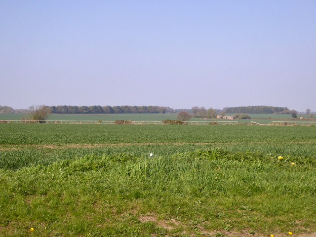
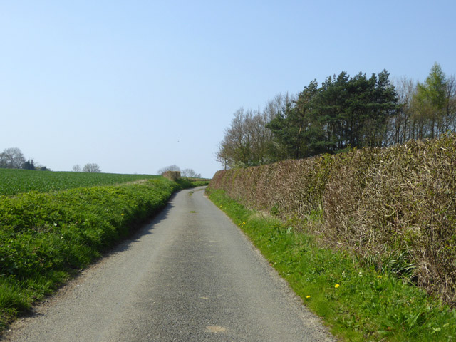
With a population of around 200 residents, Cock and End offers a close-knit community feel. The village is characterized by its charming cottages, many of which date back centuries, giving visitors a glimpse into the area's rich history and heritage. Surrounding the village are lush green fields, grazing livestock, and meandering footpaths, making it a haven for nature enthusiasts and walkers.
Despite its small size, Cock and End has a few amenities to cater to its residents. The village is home to a local pub, providing a gathering place for locals and visitors alike. The pub offers a selection of traditional British dishes and ales, allowing visitors to experience the warmth of village life.
The village's location provides easy access to nearby towns and attractions. The historic market town of Lavenham, known for its well-preserved medieval architecture, is just a short drive away. Additionally, the Dedham Vale Area of Outstanding Natural Beauty, famous for its scenic landscapes and connections to the renowned artist John Constable, is within easy reach.
Overall, Cock and End offers a peaceful retreat from the hustle and bustle of city life, allowing visitors to immerse themselves in the beauty of the Suffolk countryside.
If you have any feedback on the listing, please let us know in the comments section below.
Cock and End Images
Images are sourced within 2km of 52.148855/0.52027393 or Grid Reference TL7253. Thanks to Geograph Open Source API. All images are credited.


Cock and End is located at Grid Ref: TL7253 (Lat: 52.148855, Lng: 0.52027393)
Administrative County: Suffolk
District: West Suffolk
Police Authority: Suffolk
What 3 Words
///dries.gravel.brand. Near Kedington, Suffolk
Nearby Locations
Related Wikis

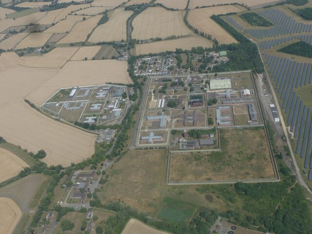
HM Prison Highpoint North
HM Prison Highpoint North (formerly called Highpoint Prison and Edmunds Hill Prison) is a Category C men's prison, located in the village of Stradishall...
HM Prison Highpoint South
HM Prison Highpoint South (formerly called Highpoint prison) is a Category C men's prison, located in the village of Stradishall (near Haverhill) in Suffolk...
Attleton Green
Attleton Green is a hamlet in Suffolk, England. == External links == Media related to Attleton Green at Wikimedia Commons

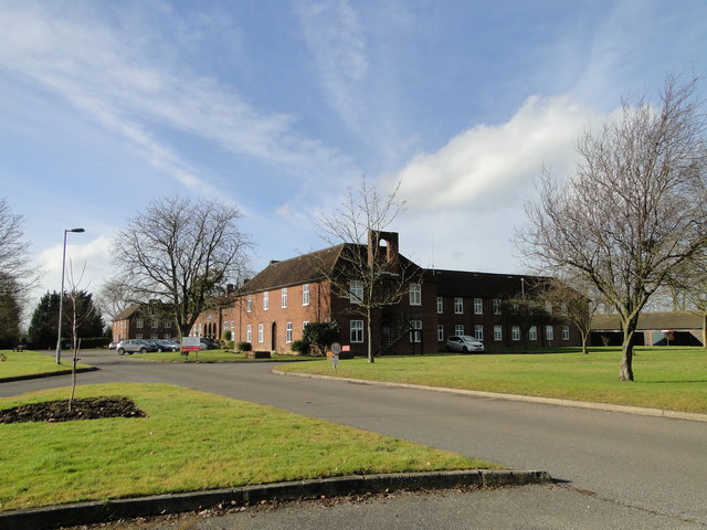
RAF Stradishall
Royal Air Force Stradishall or more simply RAF Stradishall is a former Royal Air Force station located 7 miles (11 km) north east of Haverhill, Suffolk...
Nearby Amenities
Located within 500m of 52.148855,0.52027393Have you been to Cock and End?
Leave your review of Cock and End below (or comments, questions and feedback).