City of London
Settlement in Middlesex
England
City of London

The City of London, Middlesex is a historic and vibrant district located in the heart of London, England. It is a ceremonial county and also known as the Square Mile due to its compact size of approximately 1.12 square miles (2.9 square kilometers). Despite its small area, it holds great significance as the financial center of the United Kingdom and one of the world's leading financial hubs.
The City of London is home to numerous iconic landmarks, including the towering skyscrapers of the financial district such as the Gherkin, the Shard, and the Walkie-Talkie building. It also boasts historical landmarks like St. Paul's Cathedral, which has stood as a symbol of the city for centuries.
The district is known for its bustling atmosphere during the weekdays when it is filled with professionals working in the finance sector. However, it becomes noticeably quieter during weekends and evenings when the majority of businesses are closed.
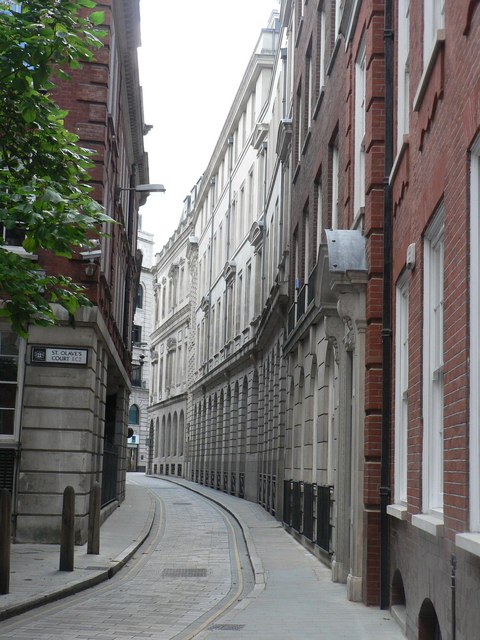
Despite its modern and fast-paced nature, the City of London has preserved its historical charm with narrow, winding streets and ancient alleyways. It also features several green spaces, including the beautiful gardens of Postman's Park and the tranquil St. Dunstan in the East Church Garden.
Transportation is well-served in the area, with several underground stations providing easy access to the rest of London. Additionally, the River Thames runs along its southern border, offering opportunities for leisurely walks and stunning views.
Overall, the City of London, Middlesex is a unique blend of old and new, making it a must-visit destination for history enthusiasts, finance professionals, and anyone seeking to experience the pulse of London's financial hub.
If you have any feedback on the listing, please let us know in the comments section below.
City of London Images
Images are sourced within 2km of 51.514372/-0.092286518 or Grid Reference TQ3281. Thanks to Geograph Open Source API. All images are credited.


City of London is located at Grid Ref: TQ3281 (Lat: 51.514372, Lng: -0.092286518)
Unitary Authority: City of London
Police Authority: Metropolitan
What 3 Words
///retail.honest.silk. Near City of London, London
Nearby Locations
Related Wikis

Trump Street
Trump Street is a street in the City of London that was originally known as Trumpadere Street, probably after the trumpet or horn makers who once worked...
Ironmonger Lane
Ironmonger Lane is a narrow one-way street in the City of London running southbound between Gresham Street and Cheapside. Ironmonger Lane has maintained...
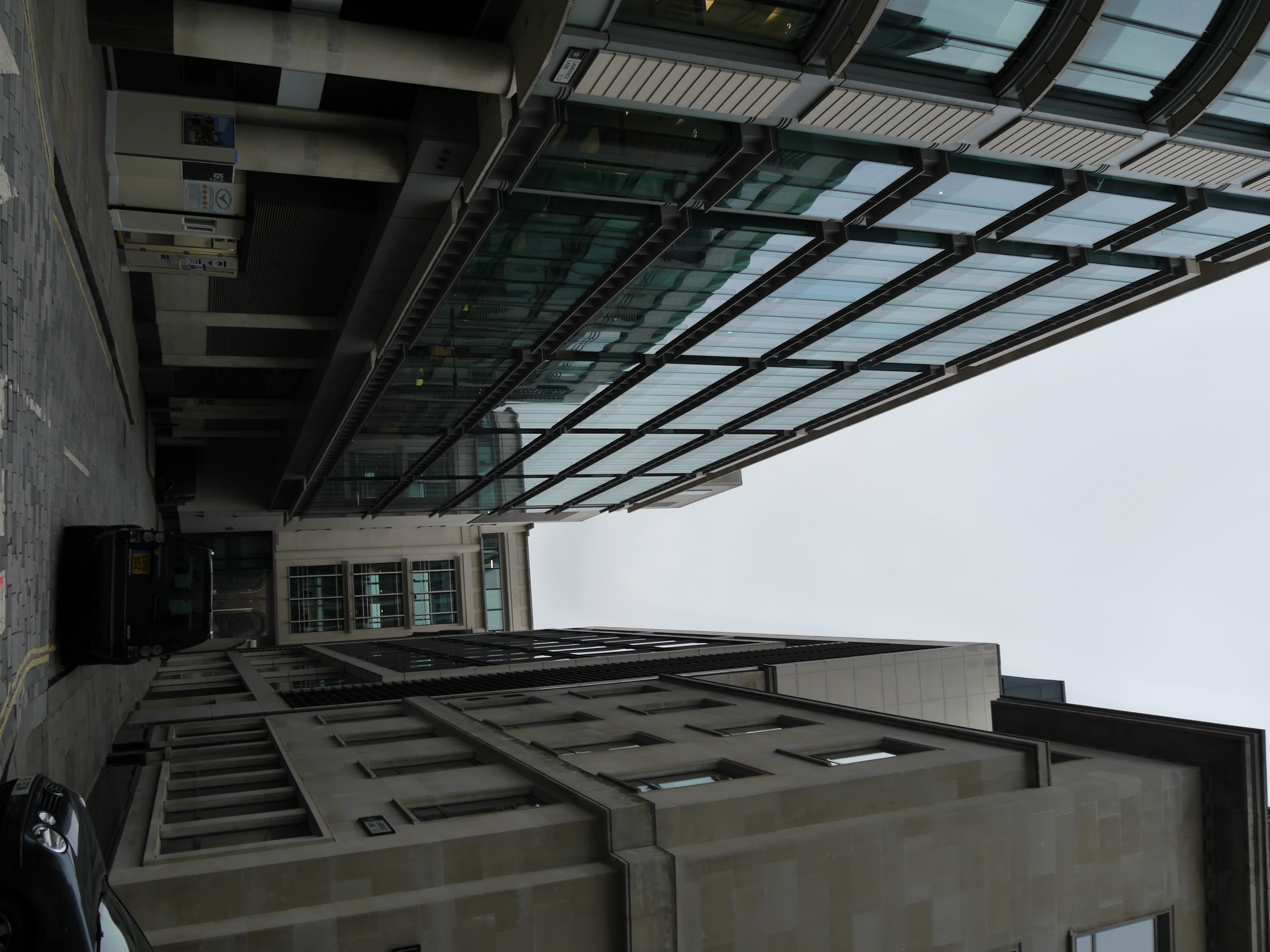
Lawrence Lane, London
Lawrence Lane is a street in the City of London that runs from Trump Street in the south to Gresham Street in the north. Its final section in the north...

Blossom's Inn
Blossom's Inn was a tavern which stood in Lawrence Lane in the City of London from the 14th century until 1855. It became a substantial coaching inn and...

Worshipful Company of Mercers
The Worshipful Company of Mercers is the premier livery company of the City of London and ranks first in the order of precedence of the Companies. It is...

Hospital of St Thomas of Acre
The Hospital of St Thomas of Acre was the medieval London headquarters of the Knights of Saint Thomas, founded as a church in 1227 in the parish of St...
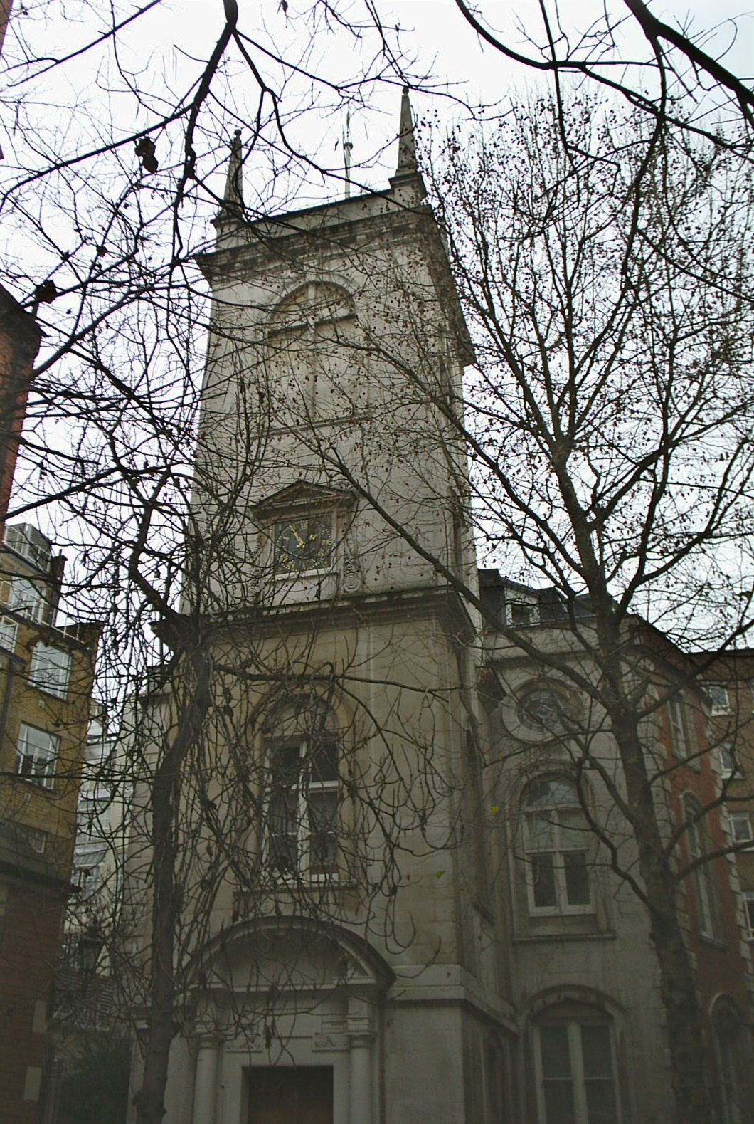
St Olave's Church, Old Jewry
St Olave's Church, Old Jewry, sometimes known as Upwell Old Jewry, was a church in the City of London located between the street called Old Jewry and Ironmonger...
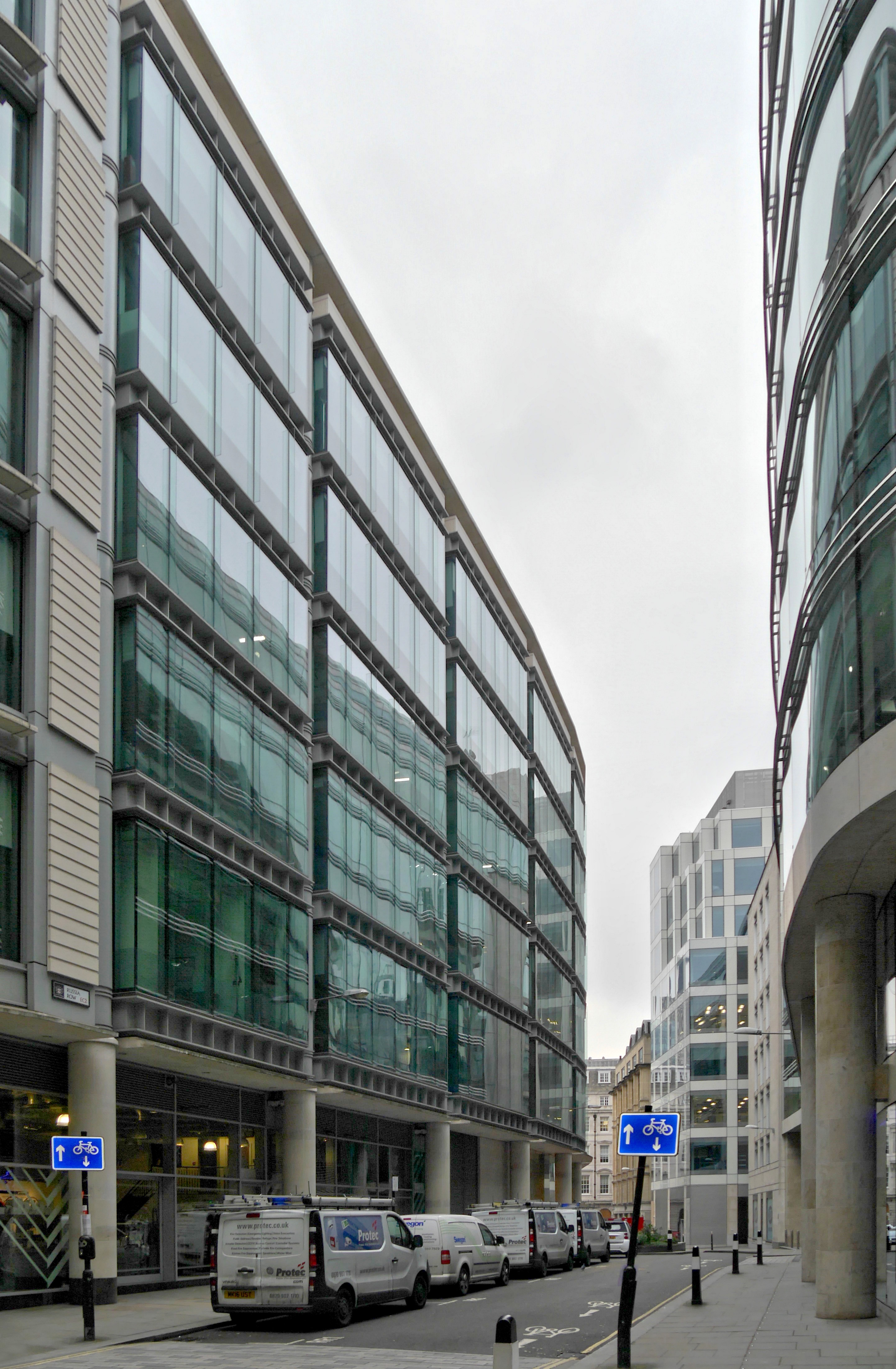
Russia Row
Russia Row is a street in the City of London that runs between Milk Street and Trump Street on the northern side of the former Honey Lane Market. Russia...
Nearby Amenities
Located within 500m of 51.514372,-0.092286518Have you been to City of London?
Leave your review of City of London below (or comments, questions and feedback).