Churchend
Settlement in Hertfordshire
England
Churchend
The requested URL returned error: 429 Too Many Requests
If you have any feedback on the listing, please let us know in the comments section below.
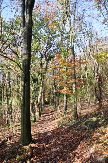
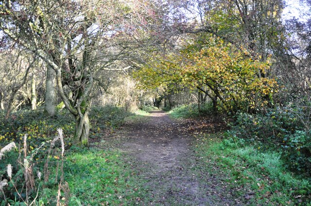
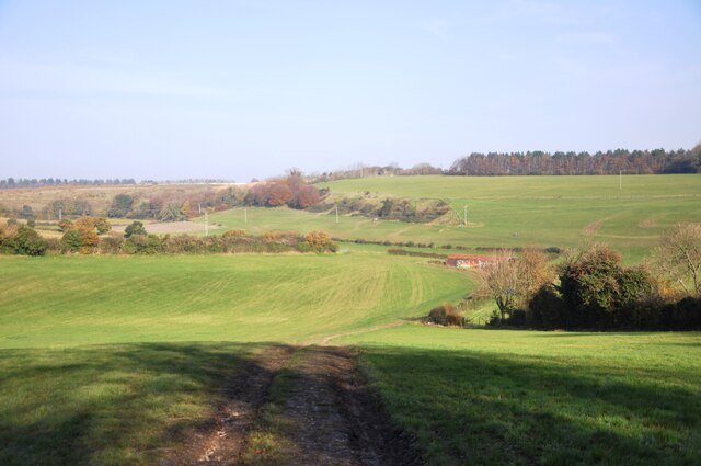
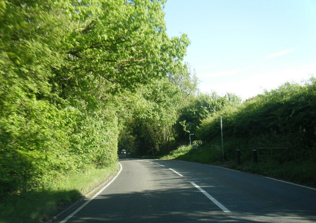
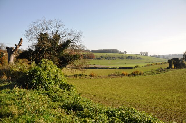
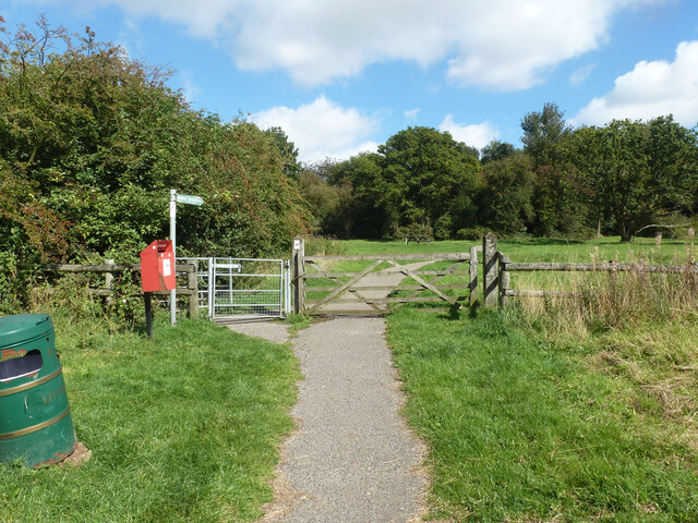
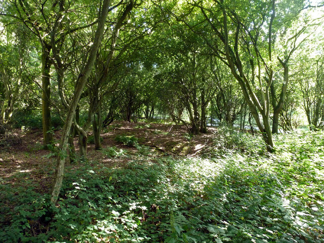
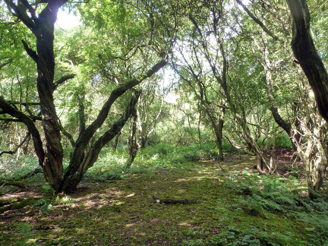
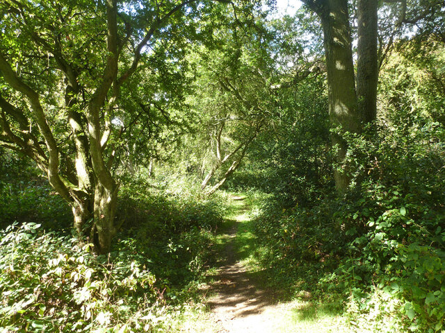
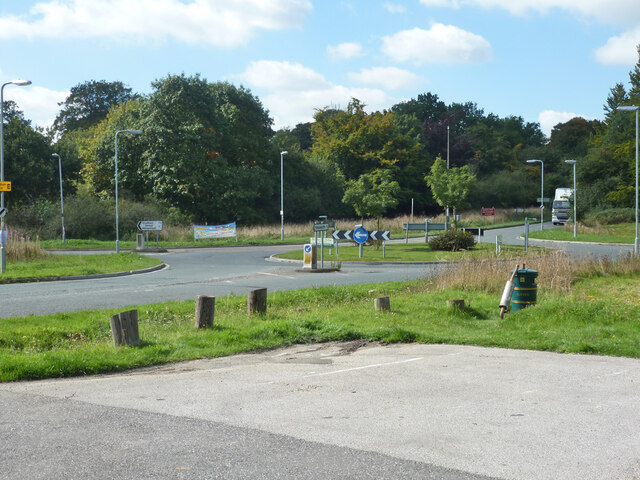
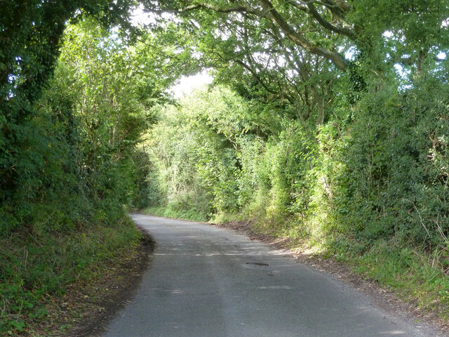
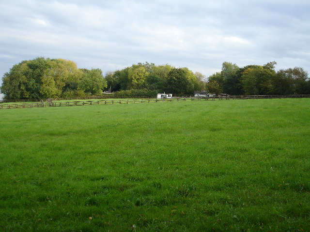
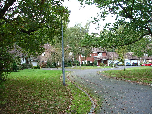
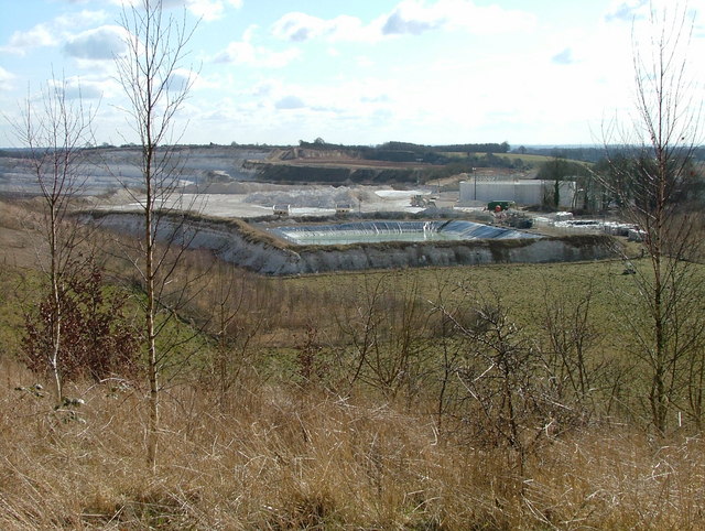
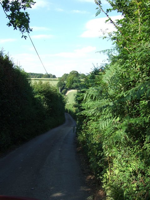
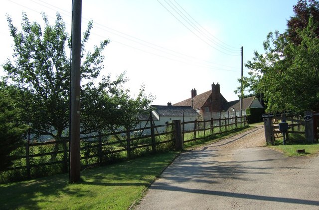
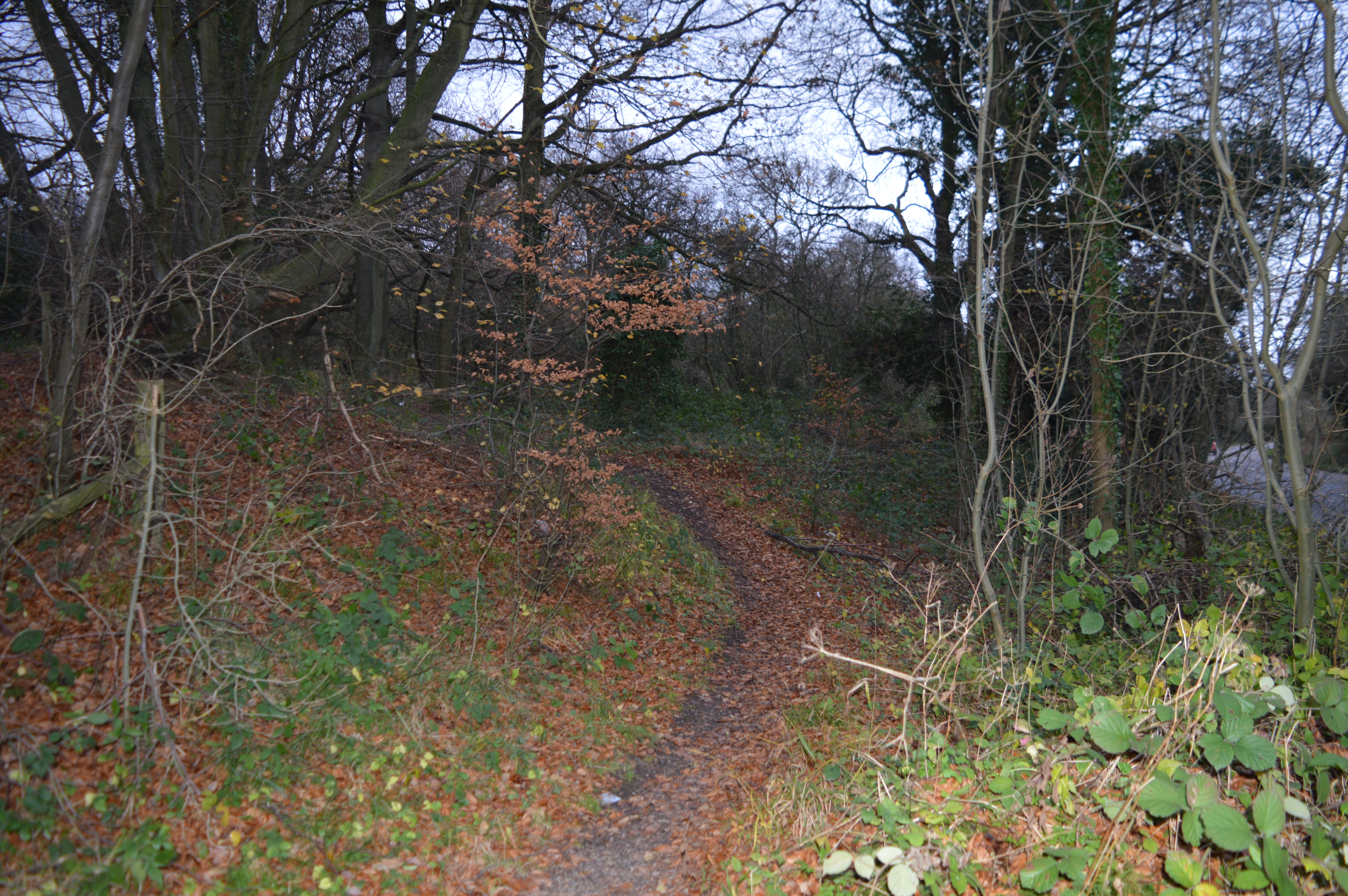
Churchend Images
Images are sourced within 2km of 51.859902/-0.50444363 or Grid Reference TL0318. Thanks to Geograph Open Source API. All images are credited.
Churchend is located at Grid Ref: TL0318 (Lat: 51.859902, Lng: -0.50444363)
Unitary Authority: Central Bedfordshire
Police Authority: Bedfordshire
What 3 Words
///traded.care.drag. Near Kensworth, Bedfordshire
Related Wikis

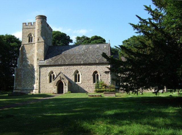
Church of St Mary, Kensworth
The Church of St Mary the Virgin is a Grade I listed church in Kensworth, Bedfordshire, England. It became a listed building on 3 February 1967. ��2...
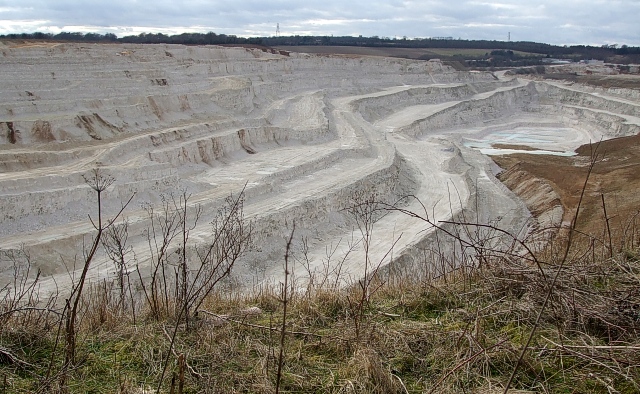
Kensworth Chalk Pit
Kensworth Chalk Quarry is a 131.3-hectare (324-acre) geological Site of Special Scientific Interest in Kensworth in Bedfordshire. It was notified under...
Kensworth
Kensworth is a village and civil parish located in the Central Bedfordshire district of Bedfordshire, England. The parish is located on the edge of Dunstable...
Landpark Wood
Landpark Wood is a 3.6-hectare (8.9-acre) nature reserve near Whipsnade in Bedfordshire. It is managed by the Wildlife Trust for Bedfordshire, Cambridgeshire...
Nearby Amenities
Located within 500m of 51.859902,-0.50444363Have you been to Churchend?
Leave your review of Churchend below (or comments, questions and feedback).