Churchbalk

Settlement in Derbyshire South Derbyshire

England

Churchbalk

Burrows Lane off Long Lane
Burrows Lane off Long Lane Credit: Ian S

Churchbalk is a small village located in the county of Derbyshire, England. Situated in the Amber Valley district, it is about 15 miles north of the city of Derby. The village is nestled in the picturesque rolling hills and verdant countryside that the region is well-known for.

With a population of around 500 residents, Churchbalk is a close-knit community that exudes a peaceful and welcoming atmosphere. The village is characterized by its charming stone houses and traditional architecture, giving it a quintessentially English countryside feel.

One of the notable features of Churchbalk is its historic church, which dates back to the 12th century. The church, dedicated to St. Mary, is a Grade II listed building and showcases beautiful stained glass windows and intricate woodwork. It serves as a focal point for the community and hosts various religious and community events throughout the year.

The surrounding countryside offers ample opportunities for outdoor activities, with numerous walking and cycling paths crisscrossing the area. Churchbalk is also within close proximity to the Peak District National Park, a popular destination for hikers, climbers, and nature enthusiasts.

Although Churchbalk is a small village, it benefits from being in close proximity to larger towns and cities. The city of Derby is easily accessible, providing residents with a range of amenities, shopping centers, and cultural attractions.

In conclusion, Churchbalk is a picturesque village in Derbyshire, known for its historic church, stunning countryside, and close-knit community. It offers a tranquil and idyllic setting for those seeking a peaceful retreat in the heart of rural England.

If you have any feedback on the listing, please let us know in the comments section below.
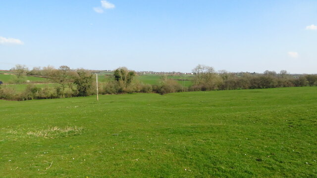
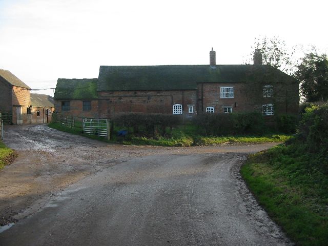
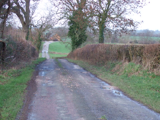
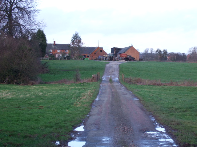
Churchbalk Images

Images are sourced within 2km of 52.924943/-1.6369728 or Grid Reference SK2436. Thanks to Geograph Open Source API. All images are credited.

Burrows Lane off Long Lane
Long Lane at Long Lane Village
Houses on Long Lane, Long Lane
Long Lane towards Longford
Minor road at Stoop Farm
Long Lane towards Longford
The Horseshoes Public House This used to be called the Three Horseshoes but a few years ago they dropped the "3". It is a country pub with good food and is part of a small local chain of similar establishments.
The Horseshoes Public House
This used to be called the Three Horseshoes but a few years ago they dropped the "3". It is a country pub with good food and is part of a small local chain of similar establishments.
On Bonnie Prince Charlie Walk - W of Lees
On Bonnie Prince Charlie Walk - site of Medieval Village of Osleston
Which way now? The perils of country walking in August. The footpath branches to the east of Grange Fields Farm at SK257374; indeed, the stile shows the two routes. But a field full of ripening corn makes for tricky navigation.
Which way now?
The perils of country walking in August. The footpath branches to the east of Grange Fields Farm at SK257374; indeed, the stile shows the two routes. But a field full of ripening corn makes for tricky navigation.
Lower Thurvaston A quiet road junction at Lower Thurvaston near Longford.  Longford is straight ahead and Thurvaston is down the lane to the right.
Lower Thurvaston
A quiet road junction at Lower Thurvaston near Longford. Longford is straight ahead and Thurvaston is down the lane to the right.
Suffield House Fine looking house in a private location off Longford Lane.
Suffield House
Fine looking house in a private location off Longford Lane.
Rock House Farm Rock House Farm on a quiet lane just outside the village of Lees.
Rock House Farm
Rock House Farm on a quiet lane just outside the village of Lees.
Longlane The Three Horseshoes at Longlane on the old Roman Road
Longlane
The Three Horseshoes at Longlane on the old Roman Road
Christchurch Christchurch at Longlane Village
Christchurch
Christchurch at Longlane Village
Longlane Looking west along the old Roman Road through Longlane Village
Longlane
Looking west along the old Roman Road through Longlane Village
Taylors Lane The single track lane to the farms.
Taylors Lane
The single track lane to the farms.
Broad Close Farm Situated at the top of the lane near Trusley village.
Broad Close Farm
Situated at the top of the lane near Trusley village.
Show me another place!

Churchbalk is located at Grid Ref: SK2436 (Lat: 52.924943, Lng: -1.6369728)

Administrative County: Derbyshire

District: South Derbyshire

Police Authority: Derbyshire

What 3 Words

///airbag.slurred.blanking. Near Etwall, Derbyshire

Related Wikis

Osleston and Thurvaston

Osleston and Thurvaston is a civil parish in Derbyshire, England. The parish includes Longlane, Osleston and Thurvaston. As of 2020, it has a population...

Osleston

Osleston is a hamlet which together with Thurvaston makes up the parish of Osleston and Thurvaston. The civil parish population at the 2011 Census was...

Trusley

Trusley is a parish and small village in South Derbyshire. As the civil parish population is only minimal details are included in the civil parish of Dalbury...

Thurvaston

Thurvaston is a small village in South Derbyshire. In 1970 the population (together with Osleston) was put at 200. This represents a general fall since...

Nearby Amenities

Located within 500m of 52.924943,-1.6369728
Post Box
Operator: Royal Mail
Post Box Type: lamp
Ref: DE6 868
Royal Cypher: EIIR
Royal Cypher Wikidata: Q33102113
Lat/Long: 52.9237695/-1.6436652
Passing Place
Lat/Long: 52.9254946/-1.6362139
Barrier: stile
Material: wood
Source: survey
Step Count: 1
Stile: stepover
Lat/Long: 52.9276239/-1.6361635
Fixme: may continue
Lat/Long: 52.9254509/-1.6354464
Churchbalk
Place: hamlet
Lat/Long: 52.9252844/-1.6371294
Give Way
Direction: backward
Source: Bing
Lat/Long: 52.9238126/-1.6437189
Give Way
Direction: forward
Source: Bing
Lat/Long: 52.9229387/-1.6412749
Give Way
Direction: backward
Source: Bing
Lat/Long: 52.9228693/-1.6411784
Barrier: stile
Lat/Long: 52.9268187/-1.6428383
Direction: SSW
Generator Method: photovoltaic
Generator Output Electricity: yes
Generator Solar Modules: 16
Generator Source: solar
Generator Type: solar_photovoltaic_panel
Location: roof
Power: generator
Lat/Long: 52.9253111/-1.6362936
Direction: SSW
Generator Method: photovoltaic
Generator Output Electricity: yes
Generator Solar Modules: 16
Generator Source: solar
Generator Type: solar_photovoltaic_panel
Location: roof
Power: generator
Lat/Long: 52.9253649/-1.6361949
Generator Method: photovoltaic
Generator Output Electricity: yes
Generator Source: solar
Generator Type: solar_photovoltaic_panel
Location: roof
Power: generator
Lat/Long: 52.9212013/-1.6346388
The data included in this document is from www.openstreetmap.org. The data is made available under ODbL.

Have you been to Churchbalk?

Leave your review of Churchbalk below (or comments, questions and feedback).