Church Common

Settlement in Suffolk East Suffolk

England

Church Common

A1094 near Snape At this point a footpath leads off to the right towards Sternfield and a minor road to the left towards Snape village.  Minor roads are commonly signposted 'By Road' in Suffolk.
A1094 near Snape Credit: Stephen McKay

Church Common is a charming village located in the county of Suffolk, England. Situated in the East Anglian region, this idyllic hamlet is nestled amidst the picturesque countryside, offering visitors a peaceful and serene atmosphere.

Comprising of quaint cottages and historic buildings, Church Common exudes a sense of traditional English charm. The focal point of the village is its namesake, the Church of St. Mary, which dates back to the 14th century. The church's stunning architecture and beautifully maintained grounds make it a popular spot for locals and tourists alike.

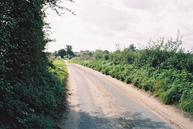
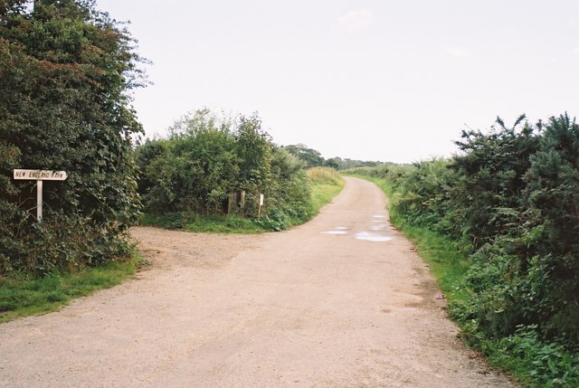
Surrounded by vast green fields and rolling hills, Church Common is an ideal destination for nature enthusiasts. The area is known for its scenic walking trails, where visitors can explore the stunning countryside and enjoy the breathtaking views. In the spring, the fields come alive with vibrant wildflowers, creating a truly picturesque landscape.

Despite its rural location, Church Common is well-connected to nearby towns and cities. The village is located just a short drive away from the market town of Bury St. Edmunds, where visitors can explore a variety of shops, restaurants, and historical sites.

Overall, Church Common offers visitors a tranquil and authentic English countryside experience. With its historic church, stunning landscapes, and easy access to nearby amenities, this charming village is a hidden gem in the heart of Suffolk.

If you have any feedback on the listing, please let us know in the comments section below.

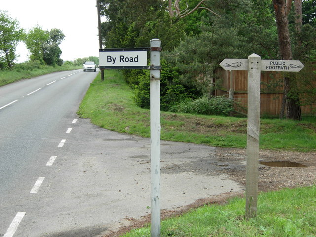
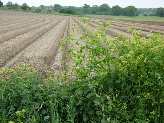
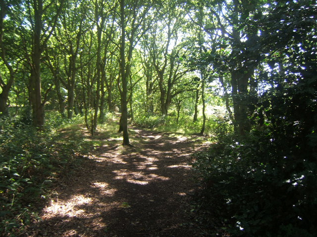
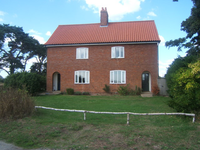
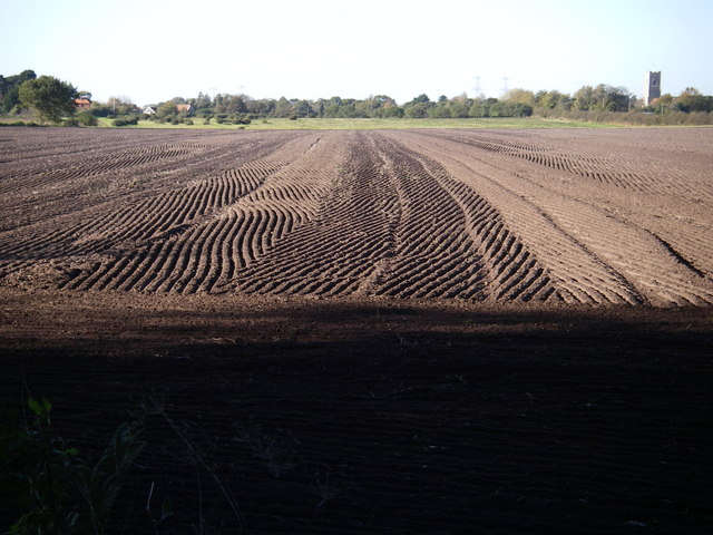
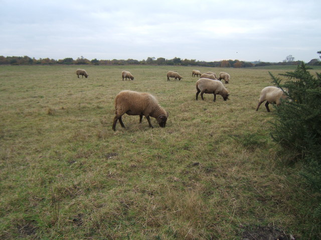
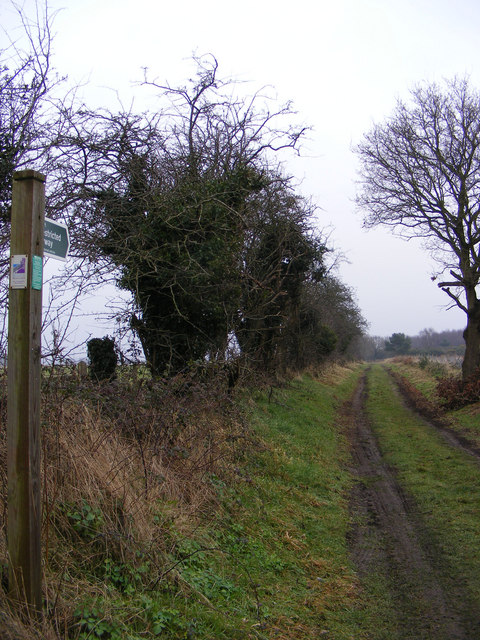
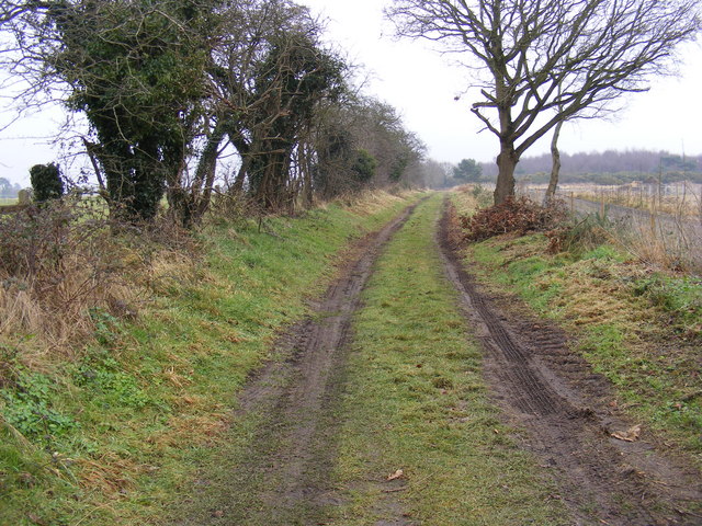
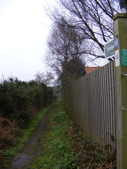
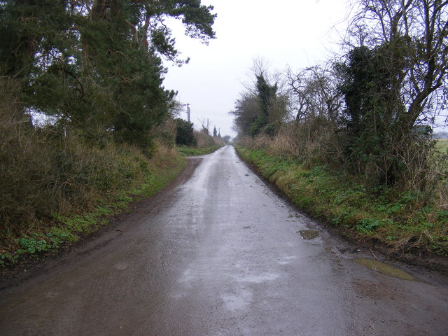
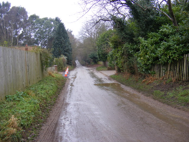
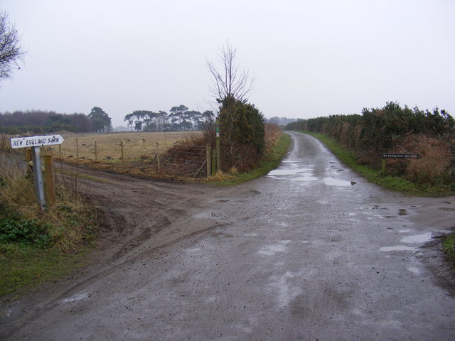
Church Common Images

Images are sourced within 2km of 52.179927/1.4985439 or Grid Reference TM3959. Thanks to Geograph Open Source API. All images are credited.

A1094 near Snape At this point a footpath leads off to the right towards Sternfield and a minor road to the left towards Snape village.  Minor roads are commonly signposted 'By Road' in Suffolk.
A1094 near Snape
At this point a footpath leads off to the right towards Sternfield and a minor road to the left towards Snape village. Minor roads are commonly signposted 'By Road' in Suffolk.
Farmland near Snape Farmland to the east of Snape village near Rookery Farm.
Farmland near Snape
Farmland to the east of Snape village near Rookery Farm.
Footpath junction near Snape Warren The path ahead leads to Snape Maltings. The path to the right leads to Snape village.
Footpath junction near Snape Warren
The path ahead leads to Snape Maltings. The path to the right leads to Snape village.
Sailors' Path Cottages near Snape
Arable field - Snape
Sheep in a field next to the Sailors' Path
Restricted Byway to the A1094 Aldeburgh Road Off Priory Road (U2307) 
Snape Byway No.15a
Restricted Byway to the A1094 Aldeburgh Road
Off Priory Road (U2307) Snape Byway No.15a
Restricted Byway to the A1094 Aldeburgh Road Off Priory Road (U2307)
Snape Byway No.15a
Restricted Byway to the A1094 Aldeburgh Road
Off Priory Road (U2307) Snape Byway No.15a
Footpath to Snape Warren Off Priory Road (U2307)
Snape footpath No.18 leading to Snape footpath Nos.22 & 34
Footpath to Snape Warren
Off Priory Road (U2307) Snape footpath No.18 leading to Snape footpath Nos.22 & 34
Priory Road, Snape Looking towards the A1094 Farnham Road
Priory Road, Snape
Looking towards the A1094 Farnham Road
Priory Road, Snape Looking towards Snape
Road No.U2307
Priory Road, Snape
Looking towards Snape Road No.U2307
Crossroads in Priory Road, Snape Footpath to Snape Warren, Byway to Blackheath Corner and Sailors' Path footpath to the A1094 Aldeburgh Road
Road No.U2307
Snape Byway No.15a
Snape footpath No.17
Snape footpath No.18
Crossroads in Priory Road, Snape
Footpath to Snape Warren, Byway to Blackheath Corner and Sailors' Path footpath to the A1094 Aldeburgh Road Road No.U2307 Snape Byway No.15a Snape footpath No.17 Snape footpath No.18
Footpath to the Snape Road Cutting a corner on the Sandlings Way.
Footpath to the Snape Road
Cutting a corner on the Sandlings Way.
Side road to Snape Heading south from the A1094 down the back road to Snape.
Side road to Snape
Heading south from the A1094 down the back road to Snape.
The Sailor's Path As it leaves Snape heading towards Aldeburgh.
The Sailor's Path
As it leaves Snape heading towards Aldeburgh.
Pill Box near Friston One of four I spotted in the area, this area was a prime landing spot for the Nazis invasion, which thankfully never happened.
Pill Box near Friston
One of four I spotted in the area, this area was a prime landing spot for the Nazis invasion, which thankfully never happened.
Pill Box near Friston One of four I spotted in the area, this area was a prime landing spot for the Nazis invasion, which thankfully never happened.
Pill Box near Friston
One of four I spotted in the area, this area was a prime landing spot for the Nazis invasion, which thankfully never happened.
Friston Mill (From a Distance) A view of Friston mill, Sizewell power lines in the distance.

<a href="https://www.geograph.org.uk/photo/1970480">TM4160 : Friston Post Mill</a>
Friston Mill (From a Distance)
A view of Friston mill, Sizewell power lines in the distance. TM4160 : Friston Post Mill
Show me another place!

Church Common is located at Grid Ref: TM3959 (Lat: 52.179927, Lng: 1.4985439)

Administrative County: Suffolk

District: East Suffolk

Police Authority: Suffolk

What 3 Words

///contoured.dishes.epic. Near Saxmundham, Suffolk

Nearby Locations

Church Common

Related Wikis

Gromford

Gromford is a small village in Suffolk, England, just north of Snape along the Gromford Lane. == Notable persons == Birthplace of Ipswich Town footballer...

Gromford Meadow

Gromford Meadow is a 1.7-hectare biological Site of Special Scientific Interest in Gromford, south of Saxmundham in Suffolk.This unimproved base-rich meadow...

Snape Anglo-Saxon Cemetery

The Snape Anglo-Saxon Cemetery is a place of burial dated to the 6th century AD located on Snape Common, near to the town of Aldeburgh in Suffolk, Eastern...

Sandlings Walk

The Sandlings Walk is a long-distance path in Suffolk, England. It runs 91.6km through the Suffolk Sandling that used to stretch from the outskirts of...

Nearby Amenities

Located within 500m of 52.179927,1.4985439
Bearing: N
Public Transport: stop_position
Lat/Long: 52.1796245/1.5024332
Bearing: S
Public Transport: stop_position
Lat/Long: 52.1797096/1.5024151
Fuel
Church Garage
Brand: Shell
Brand Wikidata: Q110716465
Website: https://find.shell.com/gb/fuel/12709284-church-garage
Lat/Long: 52.1801978/1.4989094
Bus Stop
Church
Naptan AtcoCode: 390060130
Naptan Bearing: N
Naptan CommonName: Church
Naptan Indicator: adj
Naptan Landmark: Church
Naptan NaptanCode: sufgmtgt
Naptan Street: Church Road
Naptan Verified: no
Shelter: yes
Source: naptan_import
Lat/Long: 52.179616/1.5023263
Bus Stop
Church
Naptan AtcoCode: 390060131
Naptan Bearing: S
Naptan BusStopType: CUS
Naptan CommonName: Church
Naptan Indicator: opp
Naptan Landmark: Church
Naptan NaptanCode: sufgmtgw
Naptan Street: Church Road
Naptan Verified: no
Source: naptan_import
Lat/Long: 52.1797131/1.5024926
Shop: convenience
Lat/Long: 52.1801251/1.4988919
Post Box
Collection Times: Mo-Sa 09:00
Post Box Type: wall
Ref: IP17 4632
Royal Cypher: GR
Royal Cypher Wikidata: Q33102273
Lat/Long: 52.1803743/1.4990866
Power: pole
Lat/Long: 52.1799023/1.4990652
Power: pole
Lat/Long: 52.1792017/1.4989713
Power: pole
Lat/Long: 52.1782905/1.4988103
Power: pole
Lat/Long: 52.1775331/1.4989176
Power: pole
Lat/Long: 52.1775257/1.4987057
Power: pole
Lat/Long: 52.1767559/1.4986011
Power: pole
Lat/Long: 52.1760947/1.4984885
The data included in this document is from www.openstreetmap.org. The data is made available under ODbL.

Have you been to Church Common?

Leave your review of Church Common below (or comments, questions and feedback).