Cerbid
Settlement in Pembrokeshire
Wales
Cerbid
Cerbid is a small village located in the county of Pembrokeshire, Wales. Situated near the coast, Cerbid is known for its picturesque views of the sea and surrounding countryside. The village is home to a small population of residents who enjoy a quiet and peaceful way of life.
Cerbid is surrounded by rolling hills and lush green fields, making it an ideal destination for nature lovers and outdoor enthusiasts. The village is also close to several sandy beaches, including Newgale Beach and Whitesands Bay, which are popular spots for sunbathing, swimming, and surfing.
In terms of amenities, Cerbid has a few small shops and cafes, as well as a pub where locals and visitors can socialize and enjoy a meal or a drink. The village is also within easy reach of larger towns such as St. Davids and Haverfordwest, where residents can find a wider range of services and facilities.
Overall, Cerbid offers a peaceful and scenic setting for those looking to escape the hustle and bustle of city life and enjoy the beauty of the Welsh countryside.
If you have any feedback on the listing, please let us know in the comments section below.
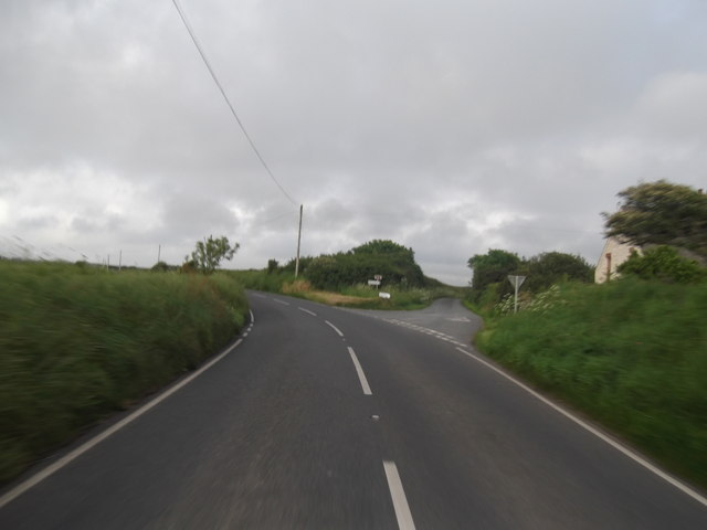
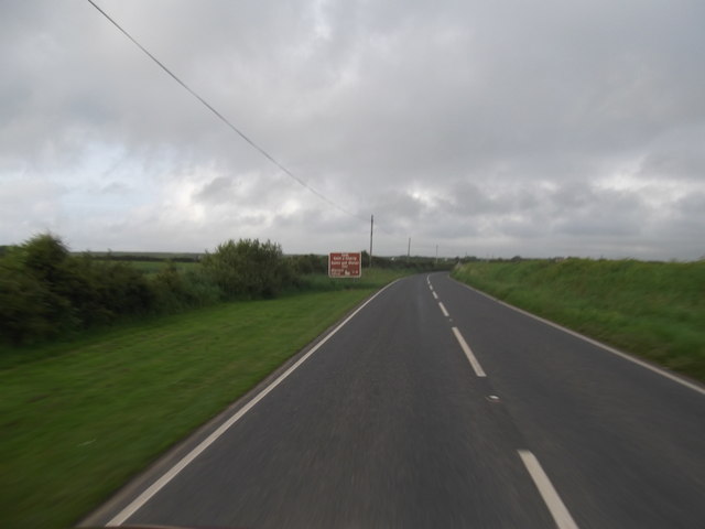
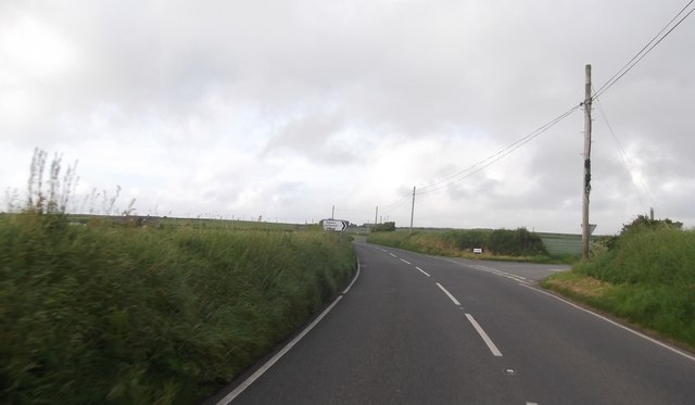
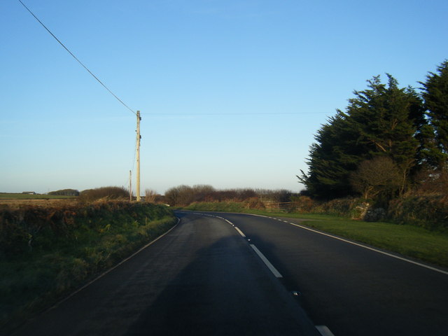
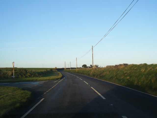
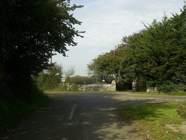
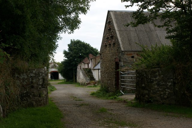
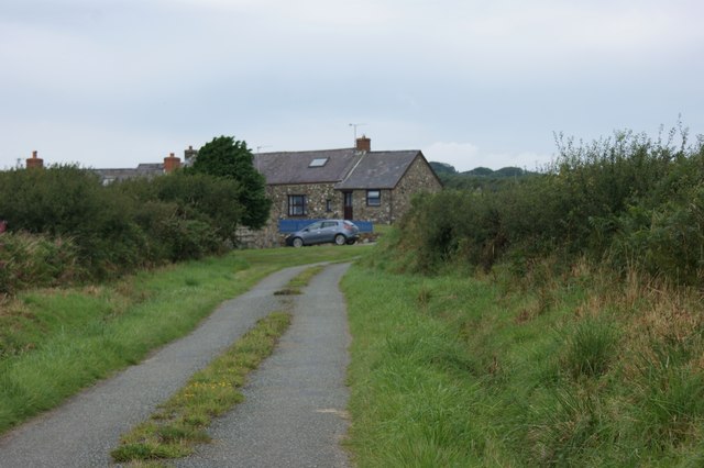
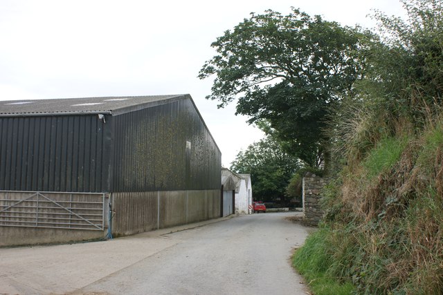
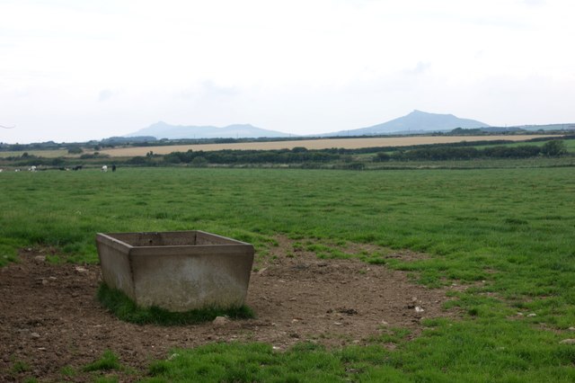
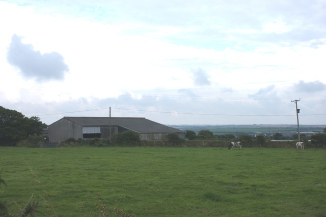
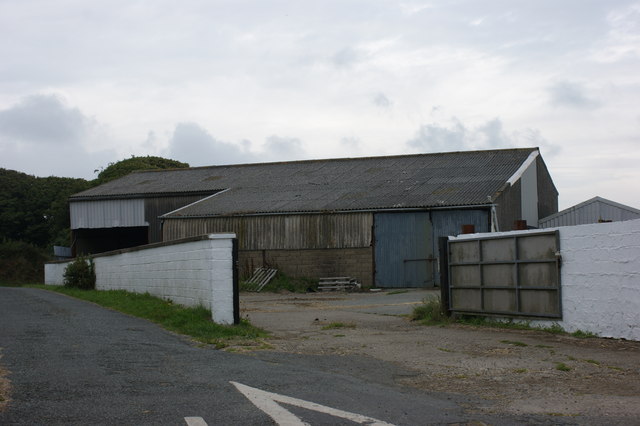
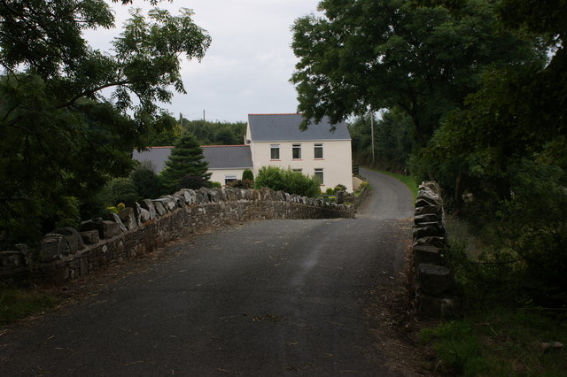
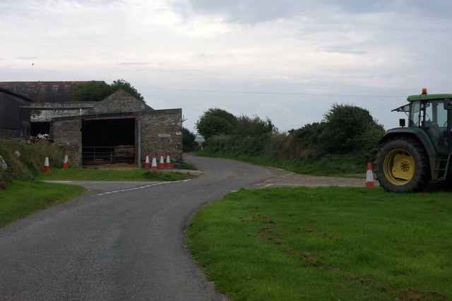
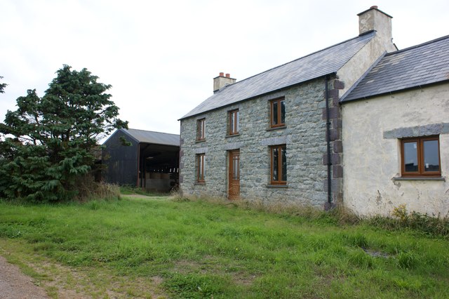
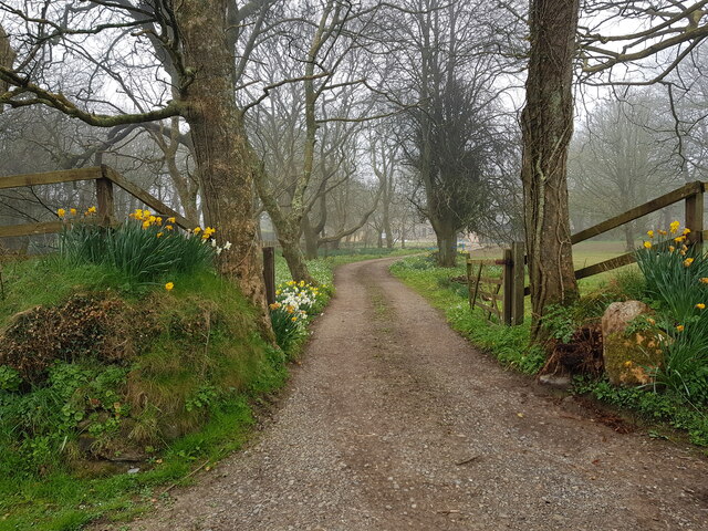
Cerbid Images
Images are sourced within 2km of 51.90355/-5.1652638 or Grid Reference SM8227. Thanks to Geograph Open Source API. All images are credited.

![Standing stone, Tremaenhir The OS map shows 'standing stones' here, but a quick search revealed only this one. The settlement name would suggest an ancient site associated with the stones, as it appears to translate as the settlement [town] of the long stones.](https://s0.geograph.org.uk/geophotos/03/21/31/3213116_c6699583.jpg)
Cerbid is located at Grid Ref: SM8227 (Lat: 51.90355, Lng: -5.1652638)
Unitary Authority: Pembrokeshire
Police Authority: Dyfed Powys
What 3 Words
///clasping.rivals.draining. Near Llanrhian, Pembrokeshire
Nearby Locations
Related Wikis

Croes-goch
Croes-goch (also spelled Croesgoch) is a village in North Pembrokeshire, West Wales. It is situated on the A487 between Fishguard and St David's. It lies...

Solva Woollen Mill
Solva Woollen Mill is a woollen mill in the village of Middle Mill, about one mile from Solva, Pembrokeshire, Wales, that has been in operation since 1907...

Middle Mill
Middle Mill (Welsh: Felinganol) is a small settlement on the River Solva in the parish of Whitchurch, Pembrokeshire, Wales, approximately 1 mile upstream...

Treffynnon, Pembrokeshire
Treffynnon (Welsh: tref - town + ffynnon - spring, well) is a hamlet of about twenty houses located between St Davids and Fishguard, about a mile inland...
Nearby Amenities
Located within 500m of 51.90355,-5.1652638Have you been to Cerbid?
Leave your review of Cerbid below (or comments, questions and feedback).