Central Milton Keynes
Settlement in Buckinghamshire
England
Central Milton Keynes
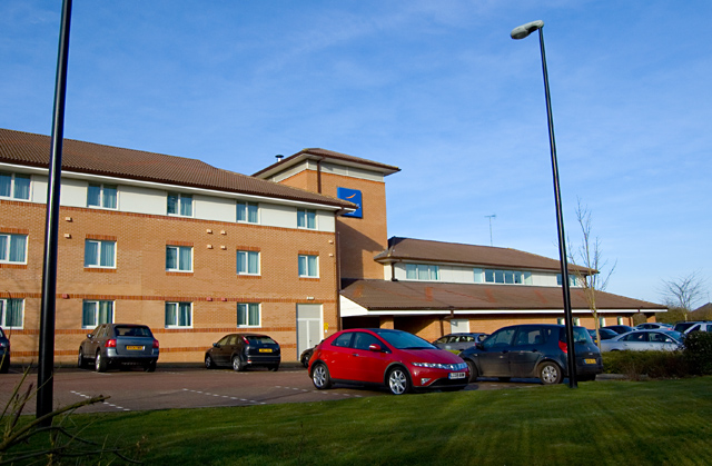
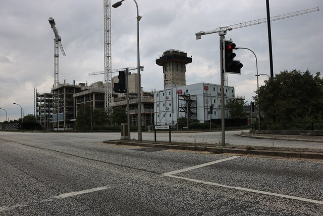
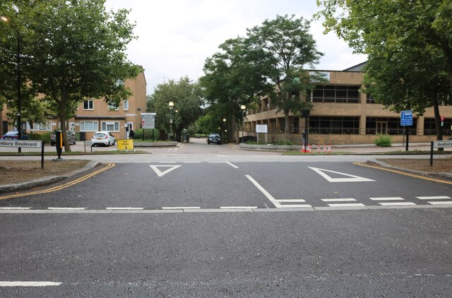
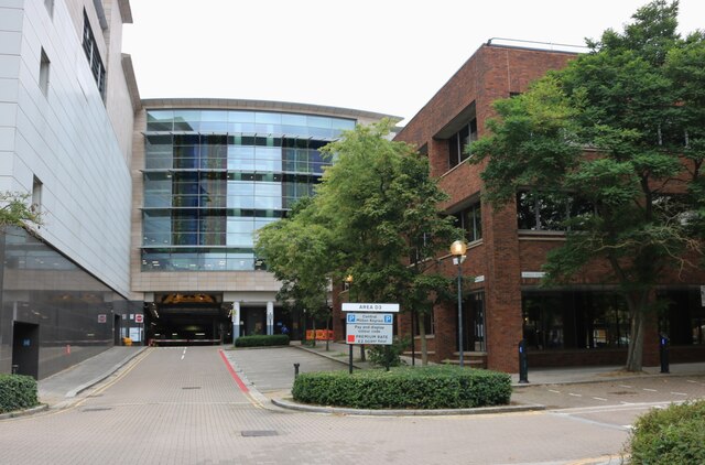
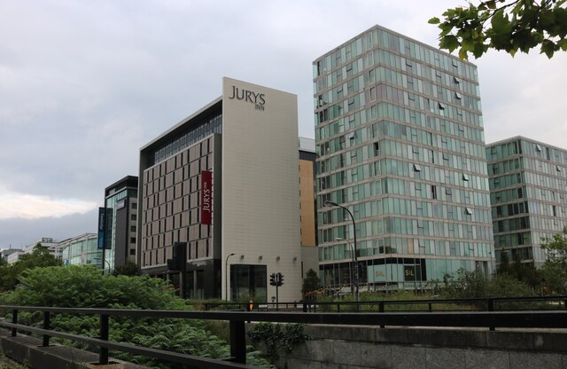
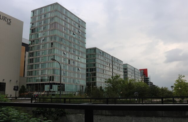
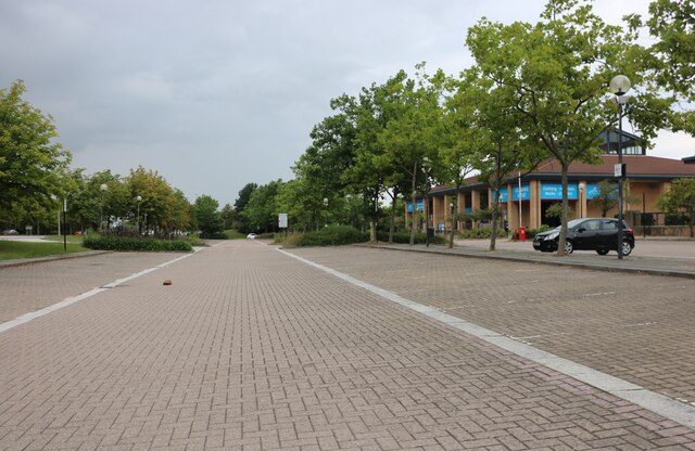
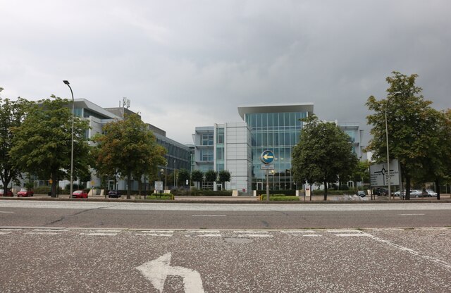
Central Milton Keynes is a vibrant town located in Buckinghamshire, England. It is known for its modern architecture, wide range of shopping and entertainment options, and convenient transportation links. The town was developed in the 1960s as a new town to alleviate housing congestion in London, and has since grown into a bustling commercial and cultural hub.
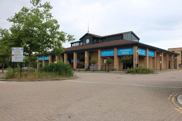
Central Milton Keynes is home to the iconic shopping center, thecentre:mk, which boasts over 200 shops, restaurants, and cafes. The town also features the Xscape complex, offering indoor skiing, rock climbing, and a variety of restaurants and bars.
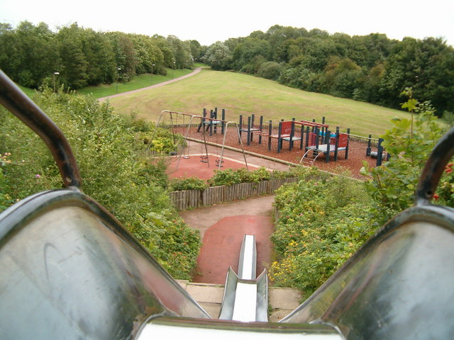
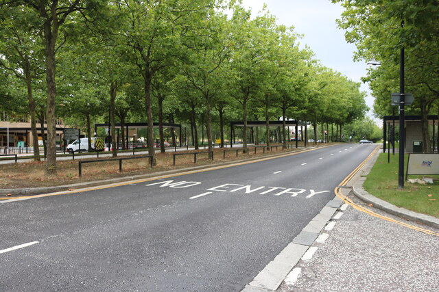
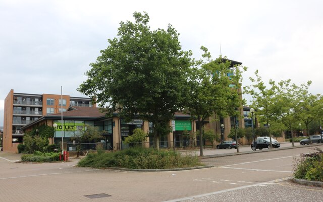
In addition to its shopping and entertainment amenities, Central Milton Keynes is known for its green spaces and parks, including Campbell Park and Willen Lake. These outdoor areas provide residents and visitors with opportunities for leisure activities such as walking, cycling, and picnicking.
Transportation in Central Milton Keynes is efficient, with a central train station providing access to London and other major cities. The town is also well-connected by road, with easy access to the M1 motorway. Overall, Central Milton Keynes offers a dynamic and diverse environment for both residents and visitors alike.
If you have any feedback on the listing, please let us know in the comments section below.
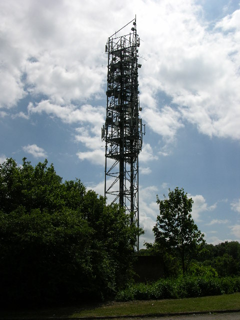
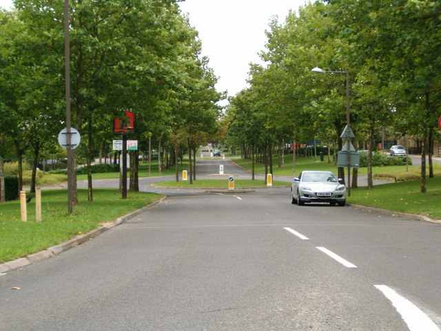
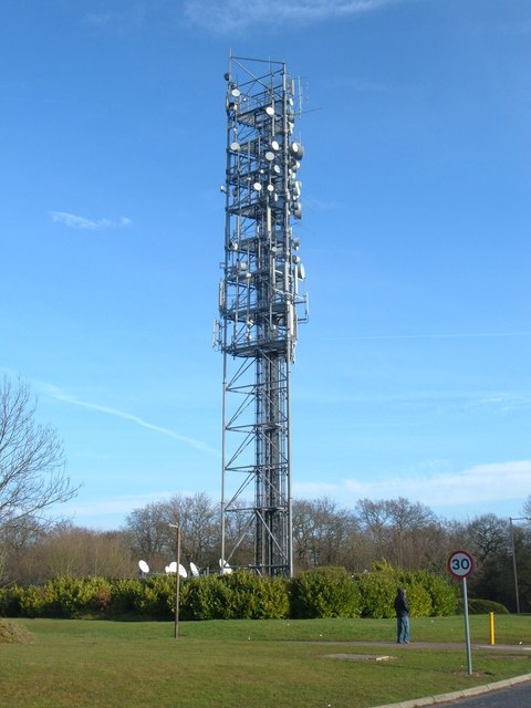
Central Milton Keynes Images
Images are sourced within 2km of 52.039073/-0.76326998 or Grid Reference SP8438. Thanks to Geograph Open Source API. All images are credited.


Central Milton Keynes is located at Grid Ref: SP8438 (Lat: 52.039073, Lng: -0.76326998)
Unitary Authority: Milton Keynes
Police Authority: Thames Valley
What 3 Words
///anyone.remotest.gratitude. Near Milton Keynes, Buckinghamshire
Nearby Locations
Related Wikis
Milton Keynes
Milton Keynes ( KEENZ) is a city and the largest settlement in Buckinghamshire, England, about 50 miles (80 km) north-west of London. At the 2021 Census...

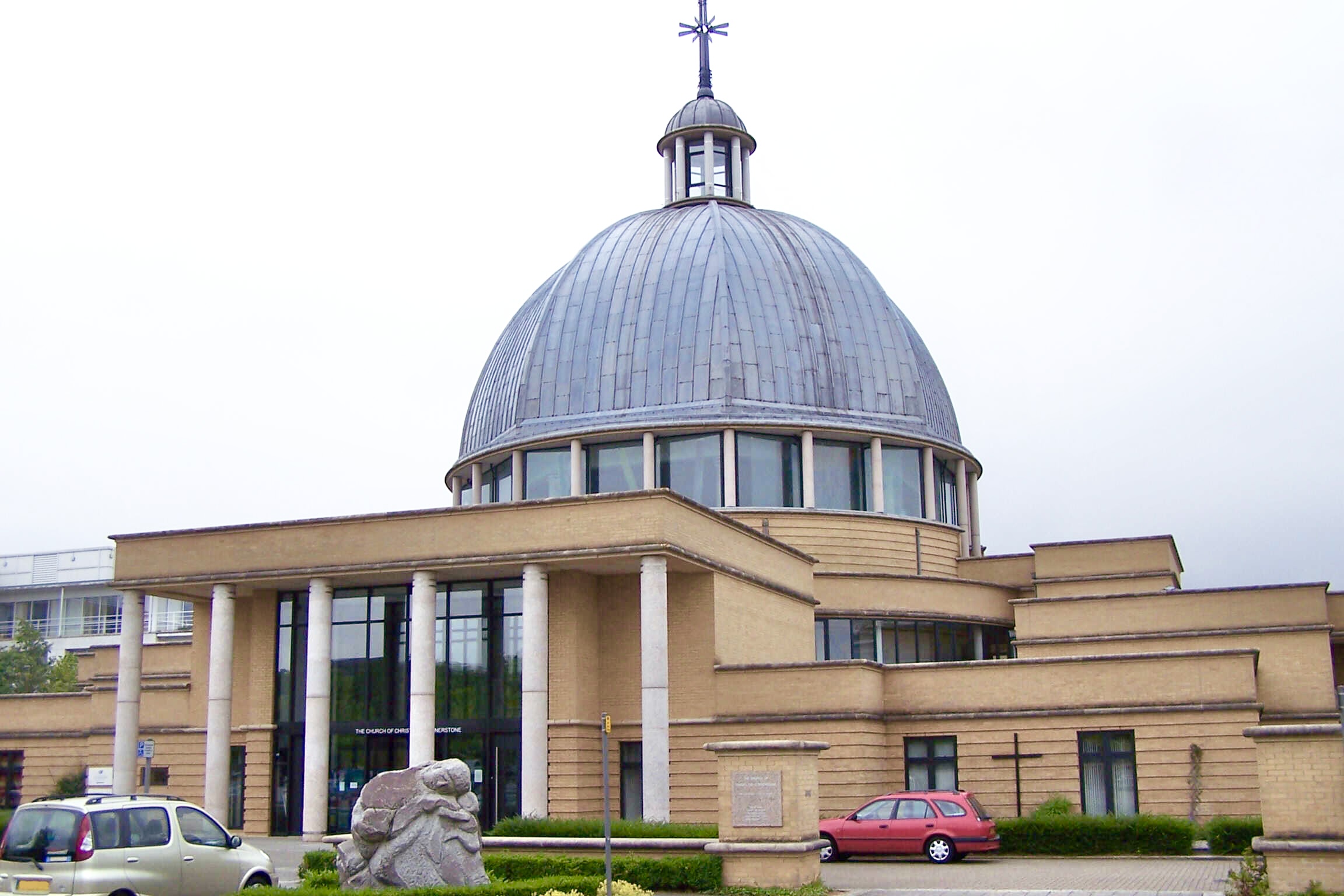
Church of Christ the Cornerstone
Church of Christ the Cornerstone is an Ecumenical church in Milton Keynes, Buckinghamshire. It was completed in 1991 and has the Church of England, the...

Central Milton Keynes
Central Milton Keynes is the central business district of Milton Keynes, Buckinghamshire, England and a civil parish in its own right, with a town council...

The Point, Milton Keynes
The Point is an entertainment complex in Central Milton Keynes, Buckinghamshire, England. When it opened in 1985, it was called the UK's first multiplex...
Nearby Amenities
Located within 500m of 52.039073,-0.76326998Have you been to Central Milton Keynes?
Leave your review of Central Milton Keynes below (or comments, questions and feedback).