Bedwlwyn

Settlement in Denbighshire

Wales

Bedwlwyn

Outlying barn at Cefncoed
Outlying barn at Cefncoed Credit: John H Darch

Bedwlwyn is a small rural village located in the county of Denbighshire, Wales. Situated in the picturesque Vale of Clwyd, it is nestled between the towns of Ruthin and Denbigh. The village is characterized by its tranquil surroundings, rolling hills, and breathtaking views of the surrounding countryside.

With a population of approximately 300 residents, Bedwlwyn maintains a close-knit community atmosphere. The village primarily consists of traditional stone-built houses and cottages, adding to its charming and timeless appeal. The village is known for its peaceful ambiance, providing a welcome escape from the hustle and bustle of larger towns and cities.

Although small in size, Bedwlwyn offers a range of amenities to its residents. These include a local primary school, a village hall, and a quaint village pub, which serves as a social hub for locals and visitors alike. Additionally, the village benefits from being within close proximity to the nearby towns, where residents can access a wider range of services and facilities.

The surrounding natural landscape offers numerous opportunities for outdoor activities and exploration. The nearby Clwydian Range, an Area of Outstanding Natural Beauty, is a popular destination for hiking, cycling, and wildlife watching. The village is also within reach of the North Wales coast, providing easy access to sandy beaches and seaside resorts.

Overall, Bedwlwyn is a peaceful and picturesque village that offers a tranquil rural lifestyle, surrounded by stunning natural beauty and a strong sense of community spirit.

If you have any feedback on the listing, please let us know in the comments section below.
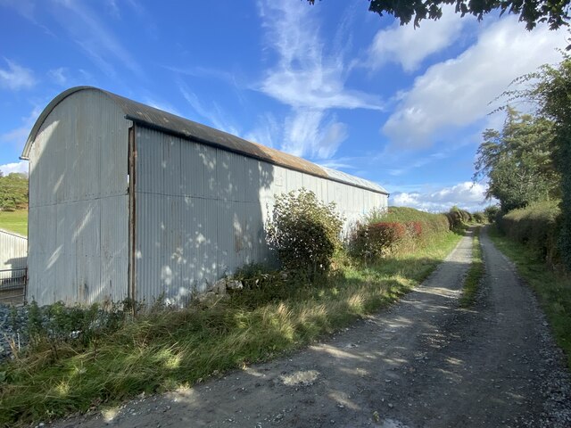
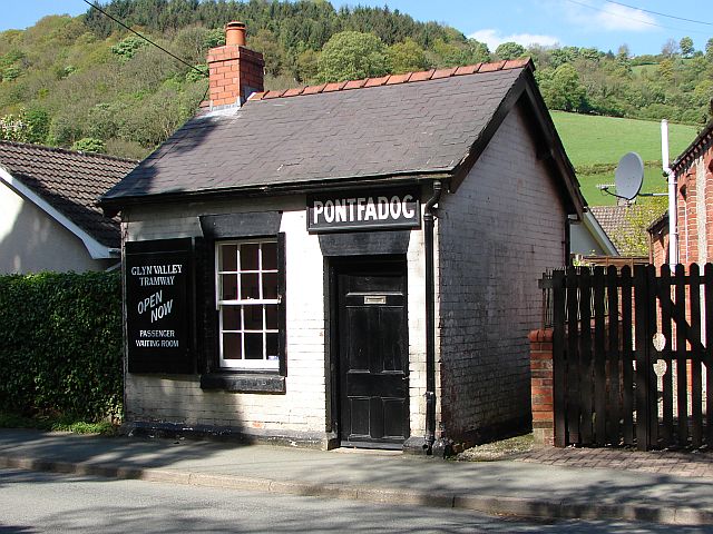
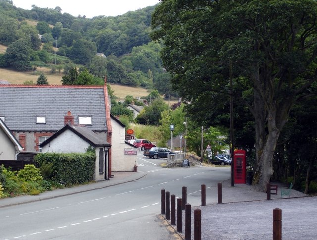
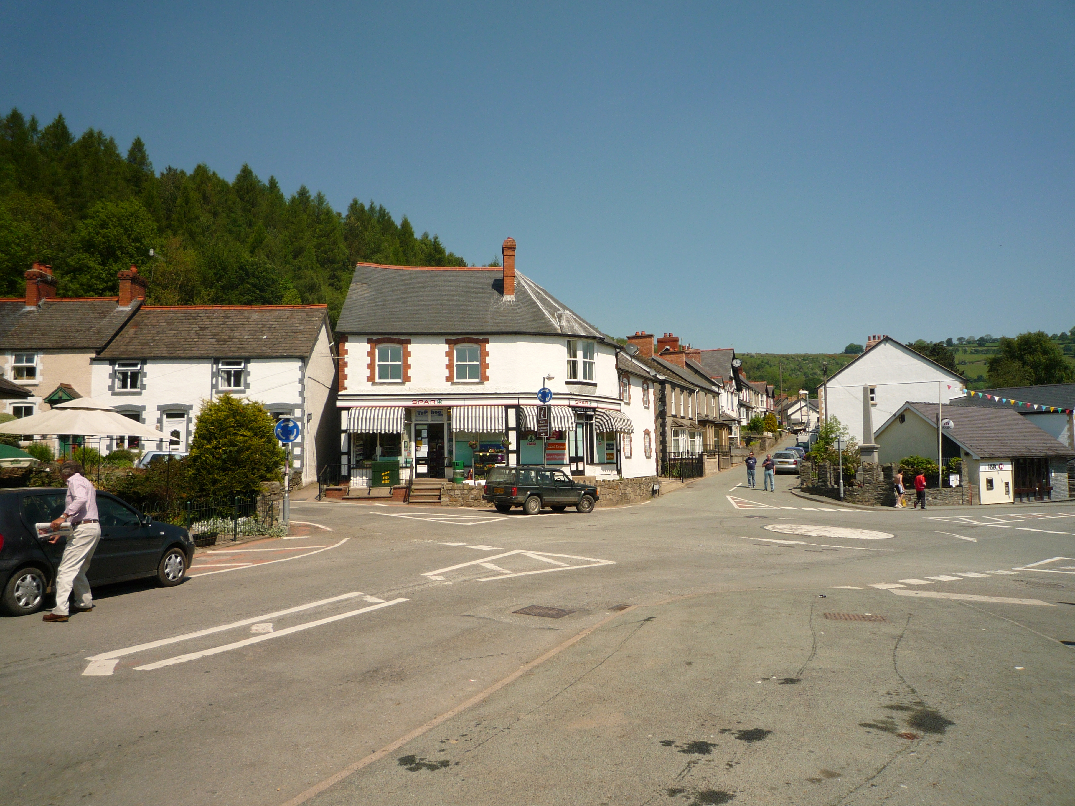
Bedwlwyn Images

Images are sourced within 2km of 52.919549/-3.158615 or Grid Reference SJ2236. Thanks to Geograph Open Source API. All images are credited.

Outlying barn at Cefncoed
Stryt Pentre A narrow lane above Llwynmawr.
Stryt Pentre
A narrow lane above Llwynmawr.
Scenic farm track Leading down to Pant Farm.
Scenic farm track
Leading down to Pant Farm.
Rutted farm track Through fields south of the Ceiriog valley.
Rutted farm track
Through fields south of the Ceiriog valley.
Ordnance Survey Rivet This OS rivet can be found on the stone north side of the hedge, NE side of the road. It marks a point 419.338m above mean sea level.
Ordnance Survey Rivet
This OS rivet can be found on the stone north side of the hedge, NE side of the road. It marks a point 419.338m above mean sea level.
B4500 lane junction west of Pontfadog
B4500 west of Dolywern
Church of St. John the Baptist at Pontfadog
Pontfadog - St. John's church The village of Pontfadog and its church of St. John lie on the left bank of the Afon Ceiriog. The view is from the hamlet of Graig, just outside the village and situated on an elevated terrace above the right bank.
Pontfadog - St. John's church
The village of Pontfadog and its church of St. John lie on the left bank of the Afon Ceiriog. The view is from the hamlet of Graig, just outside the village and situated on an elevated terrace above the right bank.
The Golden Pheasant Hotel, Llwynmawr
Farm at Ty'n-llwyn, Llwynmawr
Houses in Graig
Houses in Graig
Ceiriog valley Photo of Pontfadog, from Graig.
Ceiriog valley
Photo of Pontfadog, from Graig.
St John the Baptist church, Pontfadog
Cottage in Llwynmawr
Barn at Ty'n-llwyn
Barn at Ty'n-llwyn
Lane by Ty'n-llwyn An unnamed hill near Pentre Cilgwyn in the background.
Lane by Ty'n-llwyn
An unnamed hill near Pentre Cilgwyn in the background.
Pontfadog TV-Relay Tower This small TV-Relay over looks the valley of the Welsh River Ceiriog.
Pontfadog is a very small village on this tributary river of the Dee.
The day I went here there was a beautiful hoar frost on all the trees and even on the tower steelwork...
Pontfadog TV-Relay Tower
This small TV-Relay over looks the valley of the Welsh River Ceiriog. Pontfadog is a very small village on this tributary river of the Dee. The day I went here there was a beautiful hoar frost on all the trees and even on the tower steelwork...
Show me another place!

Bedwlwyn is located at Grid Ref: SJ2236 (Lat: 52.919549, Lng: -3.158615)

Unitary Authority: Wrexham

Police Authority: North Wales

What 3 Words

///snooze.lamenting.foil. Near Llangollen, Denbighshire

Related Wikis

Llwynmawr

Llwynmawr (Welsh: Llwyn-mawr) is a village in the Ceiriog Valley in North Wales, about halfway between the villages of Glyn Ceiriog and Pontfadog, in the...

Glyn Valley Tramway

The Glyn Valley Tramway was a narrow gauge railway that ran through the Ceiriog Valley in north-east Wales, connecting Chirk with Glyn Ceiriog in Denbighshire...

Glyntraian

Glyntraian (Welsh: Glyntraean) is a community in Wrexham County Borough, Wales. The parish of Glyntraian, lying at the mouth of the Ceiriog Valley, was...

Pontfadog

Pontfadog is a village in the Ceiriog Valley west of Chirk in Wrexham County Borough, Wales; it is part of the community of Glyntraian. Like the neighbouring...

Pontfadog Oak

The Pontfadog Oak was a sessile oak tree (Quercus petraea) that stood on Cilcochwyn farm above the village of Pontfadog, in the Ceiriog Valley west of...

Glyn Ceiriog

Glyn Ceiriog (Welsh: Glynceiriog) is the principal settlement of the Ceiriog Valley and a community in Wrexham County Borough, north-east Wales. Glyn Ceiriog...

Ceiriog Valley

The Ceiriog Valley (Welsh: Dyffryn Ceiriog) is the valley of the River Ceiriog in north-east Wales. Its Welsh name, "Dyffryn Ceiriog", is the name of an...

Pandy, Ceiriog Valley

Pandy () is a hamlet in the Ceiriog Valley, Wrexham County Borough, Wales. It is located on the confluence of the River Ceiriog to the east, and the smaller...

Nearby Amenities

Located within 500m of 52.919549,-3.158615
Bedwlwyn
Alt Name: Bedw-lwyn
Alt Name En: Bedw-lwyn
Name Cy: Bedw-lwyn
Name En: Bedwlwyn
Place: hamlet
Wikidata: Q107032199
Lat/Long: 52.9199656/-3.1603236
Barrier: stile
Foot: yes
Lat/Long: 52.9211203/-3.1574255
Barrier: stile
Foot: yes
Lat/Long: 52.9216406/-3.1588038
Building: yes
Lat/Long: 52.9218634/-3.1551477
Building: yes
Lat/Long: 52.9219928/-3.1586453
Building: yes
Lat/Long: 52.917252/-3.1556527
Building: yes
Lat/Long: 52.9226016/-3.1616501
Building: yes
Lat/Long: 52.9228086/-3.1630556
Building: yes
Lat/Long: 52.9230738/-3.158056
Building: yes
Lat/Long: 52.9230803/-3.1585924
Building: yes
Lat/Long: 52.9227181/-3.158689
Building: yes
Lat/Long: 52.9227763/-3.1594936
Building: yes
Lat/Long: 52.9233778/-3.158925
Building: yes
Lat/Long: 52.9221812/-3.1557278
Direction: 215
Generator Method: photovoltaic
Generator Output Electricity: yes
Generator Solar Modules: 7
Generator Source: solar
Generator Type: solar_photovoltaic_panel
Location: roof
Power: generator
Source: Bing
Lat/Long: 52.9199521/-3.1576366
Direction: 125
Generator Method: photovoltaic
Generator Output Electricity: yes
Generator Solar Modules: 9
Generator Source: solar
Generator Type: solar_photovoltaic_panel
Location: roof
Power: generator
Source: Bing
Lat/Long: 52.9199213/-3.1575501
The data included in this document is from www.openstreetmap.org. The data is made available under ODbL.

Have you been to Bedwlwyn?

Leave your review of Bedwlwyn below (or comments, questions and feedback).