Carr End
Settlement in Yorkshire Scarborough
England
Carr End
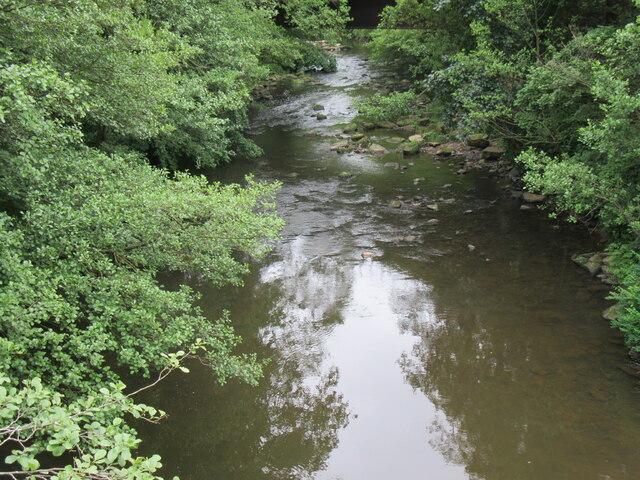
Carr End is a small village located in the county of Yorkshire, England. Situated in the district of Ryedale, it is nestled in the picturesque Howardian Hills, an Area of Outstanding Natural Beauty. The village is surrounded by rolling hills, lush green pastures, and ancient woodlands, making it a haven for nature lovers and outdoor enthusiasts.
Carr End is known for its peaceful and tranquil atmosphere, with a population of around 300 residents. The village is primarily residential, with a mix of traditional stone cottages and modern houses. Despite its small size, Carr End has a strong sense of community, with regular social events and gatherings organized by local residents.
The village is well-connected to the nearby towns of Malton and Helmsley, which provide amenities such as shops, schools, and healthcare facilities. Additionally, the historic city of York is only a short drive away, offering a wide range of cultural and recreational activities.
Carr End is also surrounded by numerous attractions and points of interest. The Howardian Hills provide ample opportunities for hiking, cycling, and birdwatching, with breathtaking views of the surrounding countryside. Nearby attractions include the imposing Castle Howard, a stately home renowned for its stunning architecture and extensive gardens, as well as the picturesque market towns of Hovingham and Kirkbymoorside.
Overall, Carr End offers a peaceful and idyllic location for those seeking a rural lifestyle, surrounded by natural beauty and rich cultural heritage.
If you have any feedback on the listing, please let us know in the comments section below.
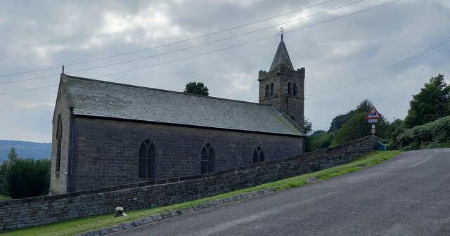
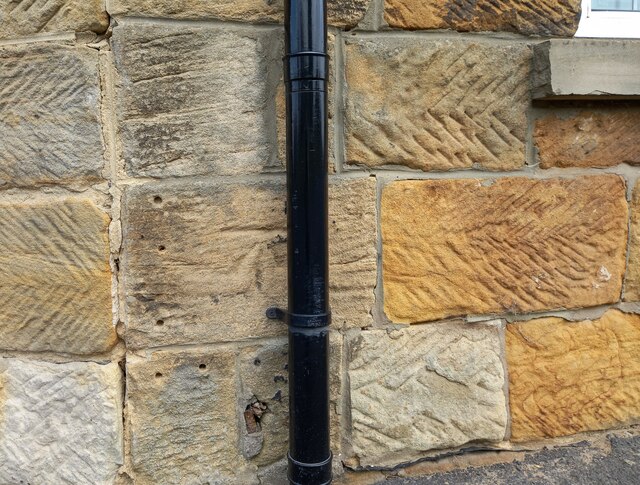
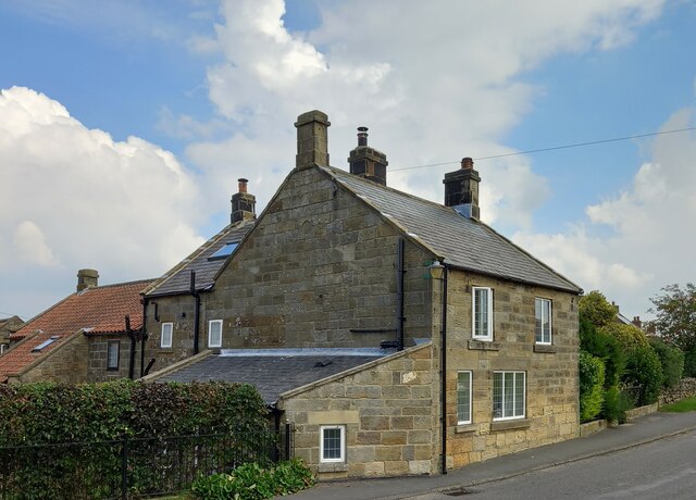
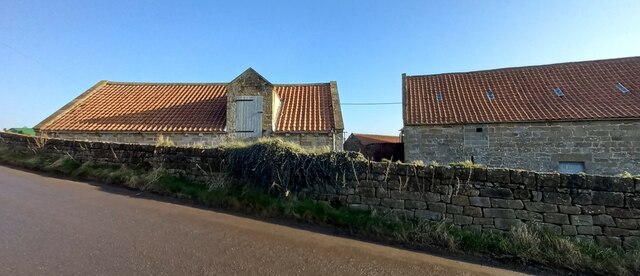
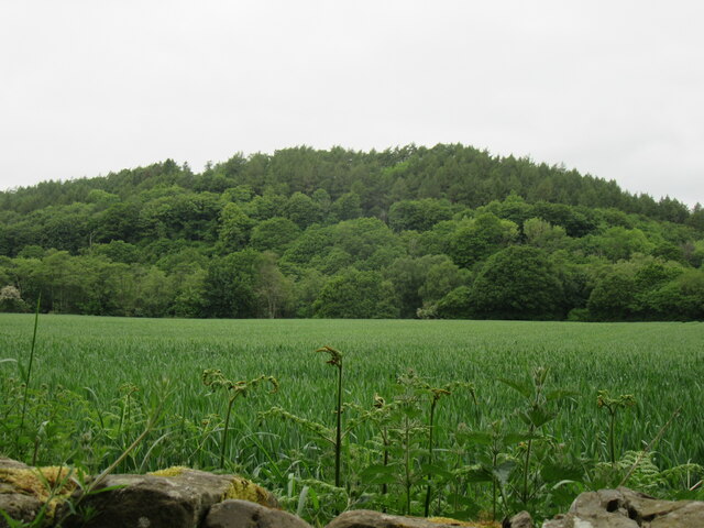
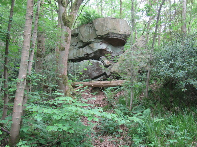
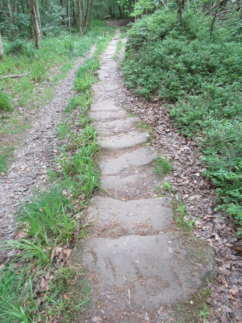
Carr End Images
Images are sourced within 2km of 54.437683/-0.79665923 or Grid Reference NZ7805. Thanks to Geograph Open Source API. All images are credited.
Carr End is located at Grid Ref: NZ7805 (Lat: 54.437683, Lng: -0.79665923)
Division: North Riding
Administrative County: North Yorkshire
District: Scarborough
Police Authority: North Yorkshire
What 3 Words
///terminology.sapping.tennis. Near Danby, North Yorkshire
Nearby Locations
Related Wikis
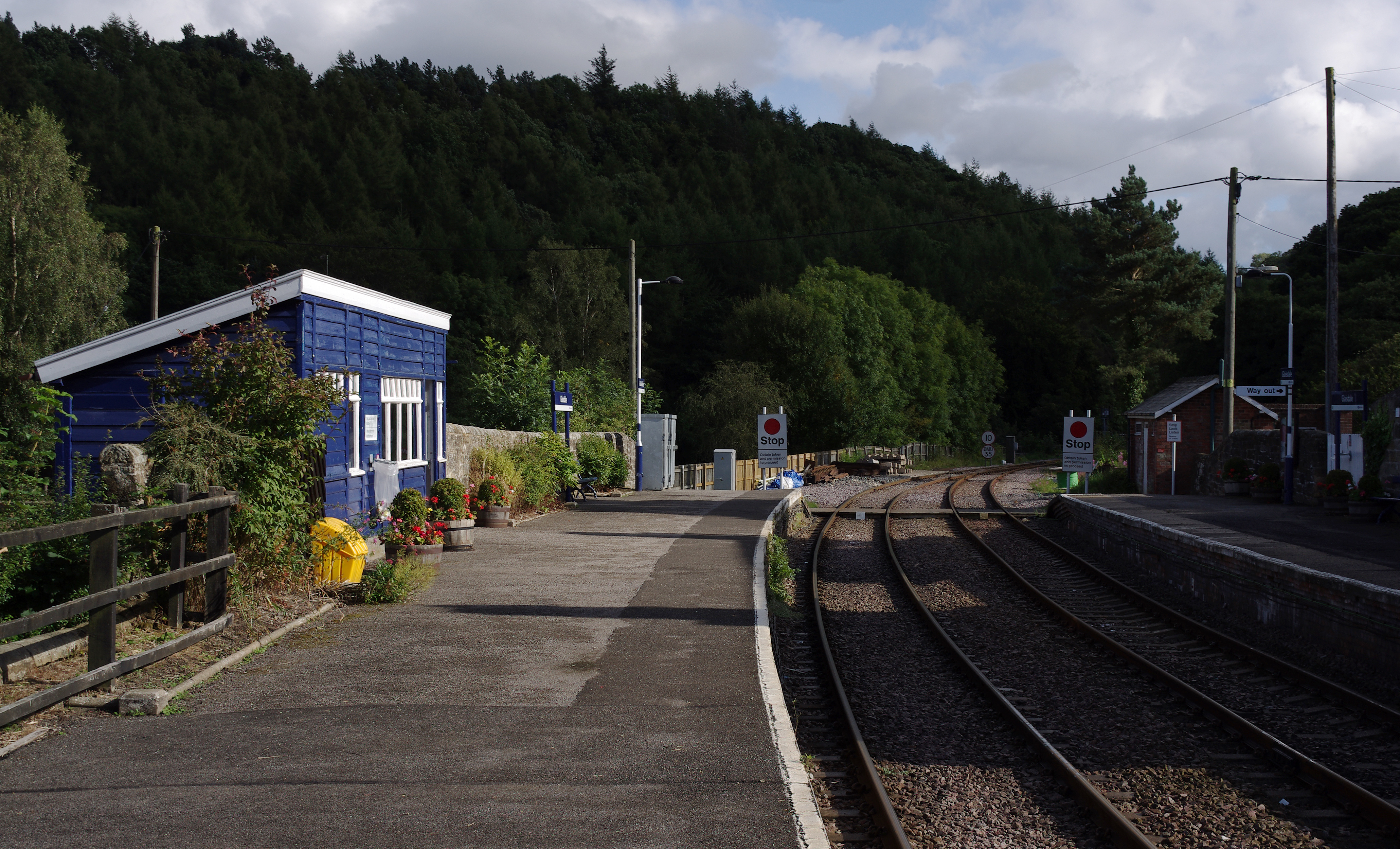
Glaisdale railway station
Glaisdale is a railway station on the Esk Valley Line, which runs between Middlesbrough and Whitby via Nunthorpe. The station, situated 9 miles 33 chains...

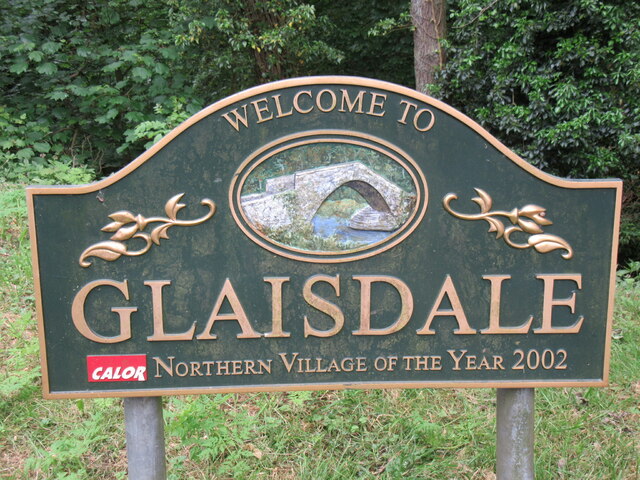
Glaisdale
Glaisdale is a village and civil parish in the Scarborough district of North Yorkshire, England, within the North York Moors National Park. It lies at...

Egton railway station
Egton is a railway station on the Esk Valley Line, which runs between Middlesbrough and Whitby via Nunthorpe. The station, situated 7 miles 66 chains...
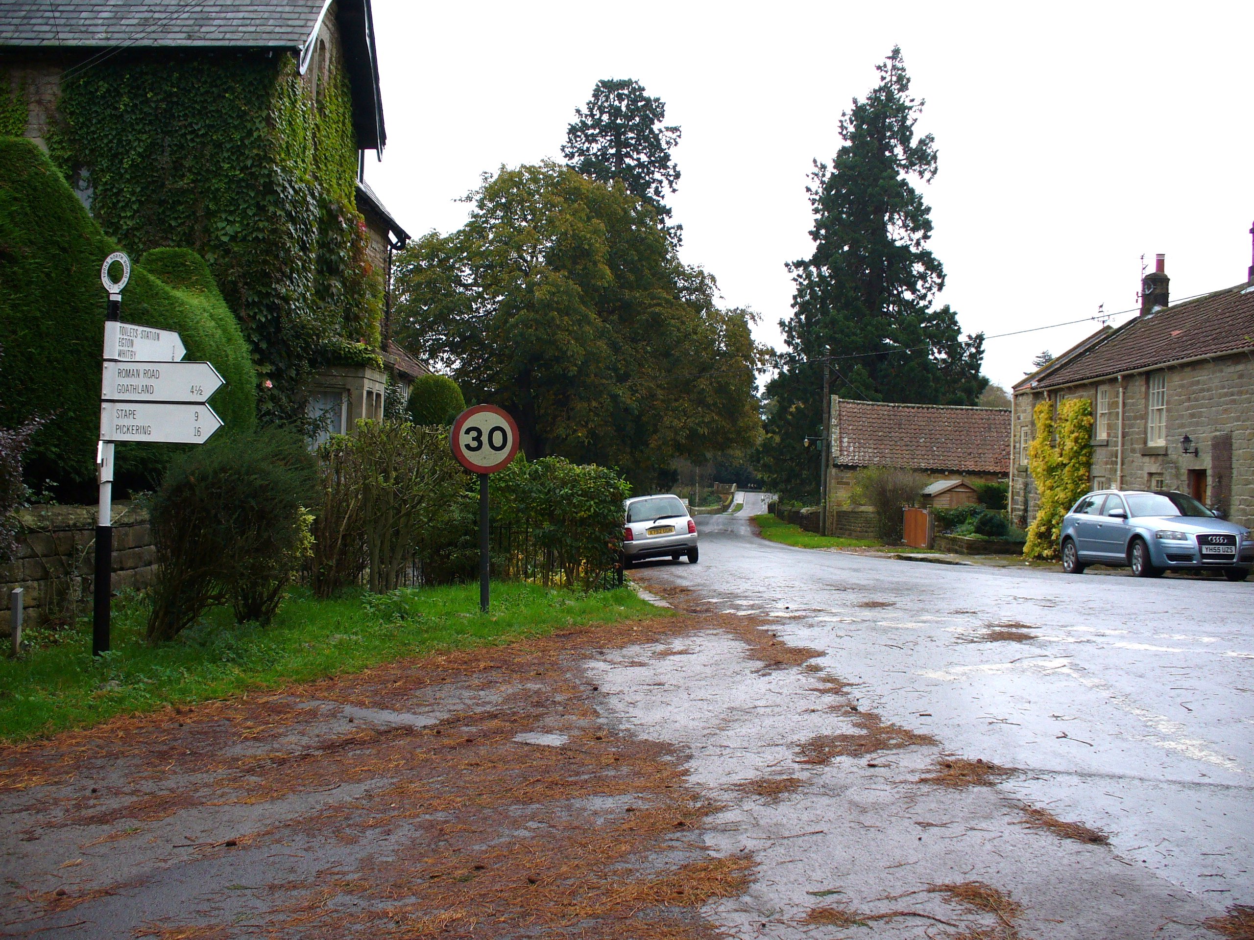
Egton Bridge
Egton Bridge is a village in the Scarborough district of North Yorkshire, England. It lies within the North York Moors National Park, on the River Esk...
Nearby Amenities
Located within 500m of 54.437683,-0.79665923Have you been to Carr End?
Leave your review of Carr End below (or comments, questions and feedback).