Caldecote
Settlement in Buckinghamshire
England
Caldecote
Caldecote is a small village located in the county of Buckinghamshire, in the southeast region of England. Situated approximately 5 miles northwest of the county town of Aylesbury, Caldecote is nestled in the picturesque Vale of Aylesbury.
The village is known for its charming and tranquil atmosphere, surrounded by rolling green fields and scenic countryside. With a population of around 300 residents, Caldecote maintains a close-knit community feel.
The heart of the village is centered around the St. Mary Magdalene Church, a beautiful medieval church dating back to the 13th century. The church's historic architecture draws visitors from near and far.
Caldecote is primarily a residential area, with a mix of traditional cottages and modern houses. The village offers a peaceful retreat from the hustle and bustle of nearby towns, making it an attractive place for families and retirees seeking a rural lifestyle.
Although Caldecote itself does not have any major amenities, it benefits from its proximity to neighboring towns and villages. Aylesbury provides a range of shopping, dining, and entertainment options, while the larger city of Milton Keynes is within easy reach for further amenities.
For outdoor enthusiasts, Caldecote offers plenty of opportunities for walking, cycling, and exploring the surrounding countryside. The nearby Wendover Woods and Chiltern Hills provide stunning natural landscapes and scenic trails for outdoor recreation.
Overall, Caldecote is a charming village that offers a peaceful and idyllic lifestyle, with its beautiful surroundings and close-knit community.
If you have any feedback on the listing, please let us know in the comments section below.
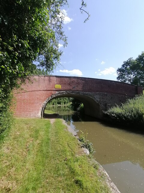
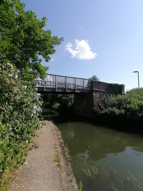
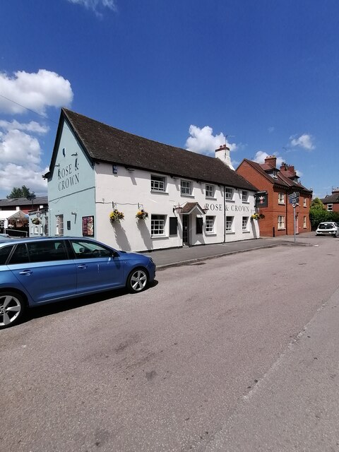
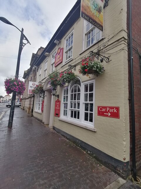
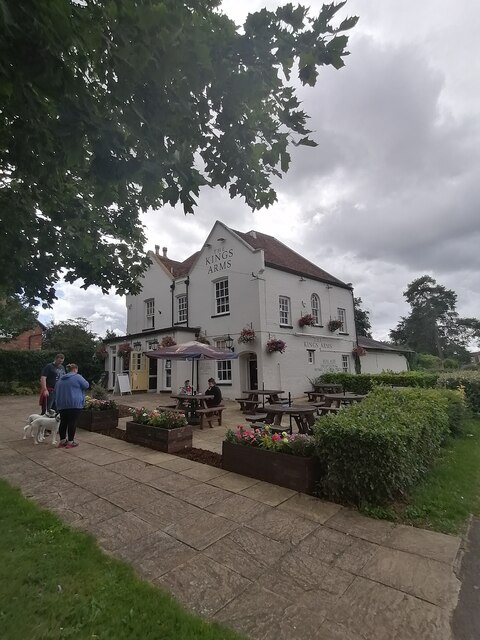
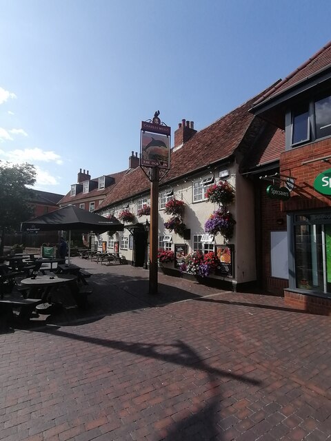
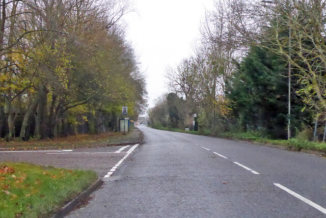
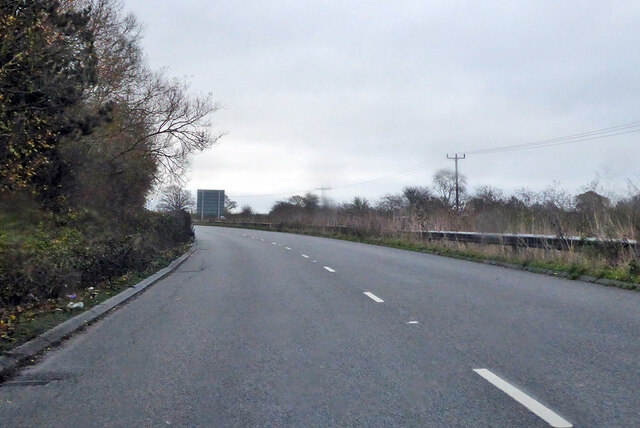
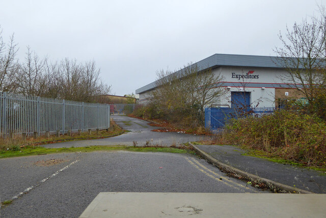
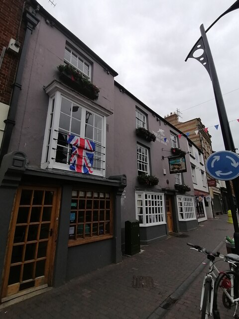
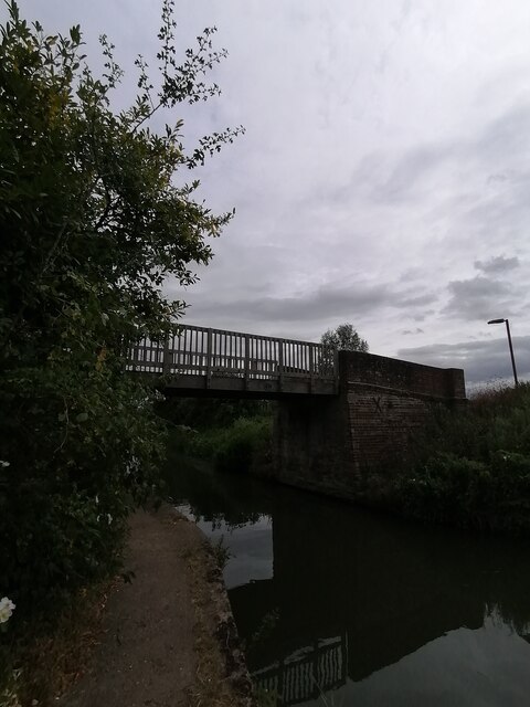
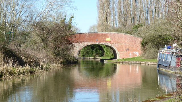
Caldecote Images
Images are sourced within 2km of 52.072834/-0.71776303 or Grid Reference SP8742. Thanks to Geograph Open Source API. All images are credited.


Caldecote is located at Grid Ref: SP8742 (Lat: 52.072834, Lng: -0.71776303)
Unitary Authority: Milton Keynes
Police Authority: Thames Valley
What 3 Words
///gather.cocoons.producers. Near Newport Pagnell, Buckinghamshire
Nearby Locations
Related Wikis

Caldecote, Buckinghamshire
Caldecote (pronounced "Kal-de-COAT) is a tiny hamlet in the civil parish of Moulsoe in the City of Milton Keynes, Buckinghamshire, England, situated roughly...
Newport Pagnell Town F.C.
Newport Pagnell Town Football Club is a football club based in Newport Pagnell, Buckinghamshire, England. They are currently members of the United Counties...

Willen
Willen is a district of Milton Keynes, England and is also one of the ancient villages of Buckinghamshire to have been included in the designated area...

Church of St Mary Magdalene, Willen
The Church of St Mary Magdalene is an Anglican church of the Diocese of Oxford. Named after Jesus' companion Mary Magdalene, it is located in the village...

Milton Keynes urban area
The Milton Keynes urban area or Milton Keynes Built-up Area is a designation established by the United Kingdom's Office for National Statistics. Milton...

Milton Keynes North (UK Parliament constituency)
Milton Keynes North is a constituency represented in the House of Commons of the UK Parliament since the 2019 United Kingdom general election by Ben Everitt...
Ousedale School
Ousedale School, is an academy based in Newport Pagnell and Olney, in the City of Milton Keynes, Buckinghamshire, England. The school opened in 1963 to...

Tickford Bridge
Tickford Bridge, over the River Ouzel (or Lovat) in Newport Pagnell, Buckinghamshire, England, was built in 1810. It is one of the last (21 still remaining...
Nearby Amenities
Located within 500m of 52.072834,-0.71776303Have you been to Caldecote?
Leave your review of Caldecote below (or comments, questions and feedback).