Cairnhill

Settlement in Aberdeenshire

Scotland

Cairnhill

Road looking northeast
Road looking northeast Credit: Alex McGregor

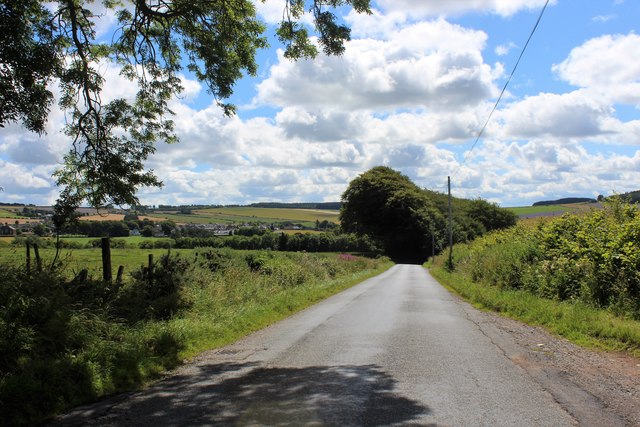
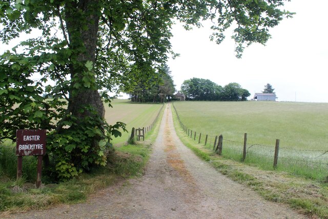
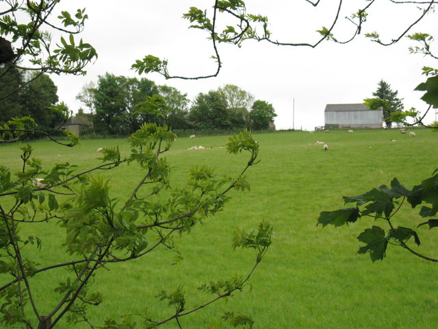
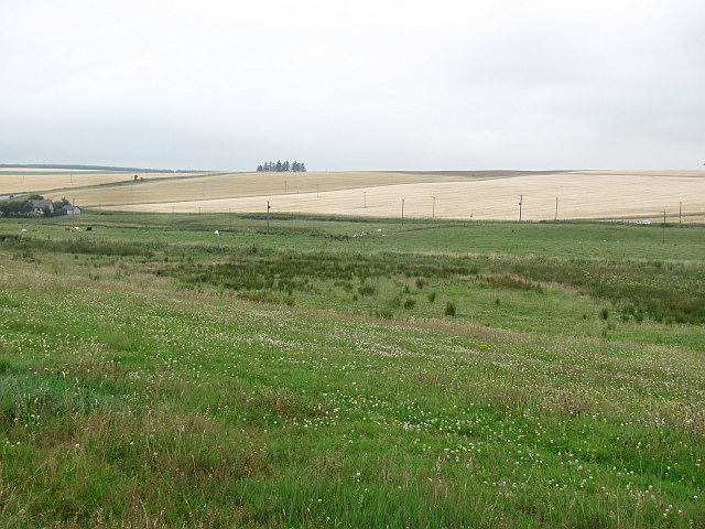
Cairnhill is a small village located in the Aberdeenshire region of Scotland. Situated amidst picturesque landscapes, it is nestled in the heart of the Cairngorms National Park, known for its stunning mountains, rivers, and forests. The village is approximately 13 miles southwest of Aberdeen, the third-largest city in Scotland.

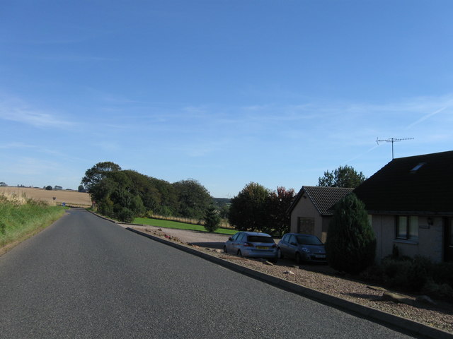
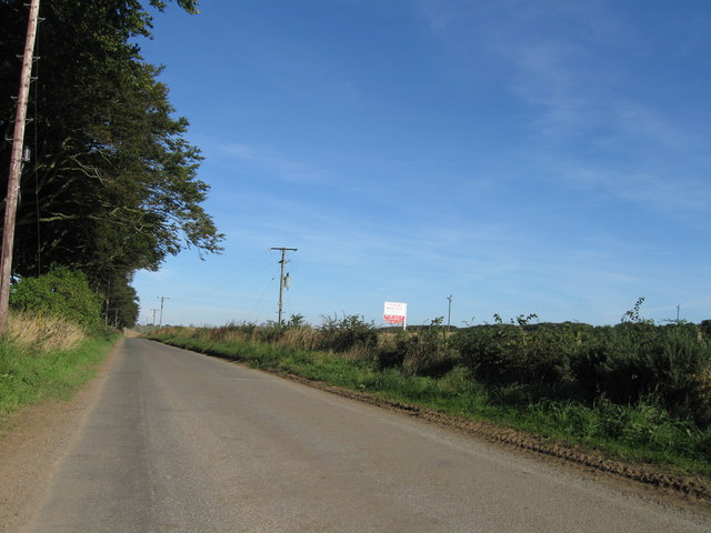
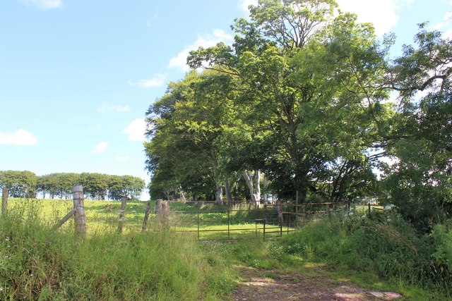
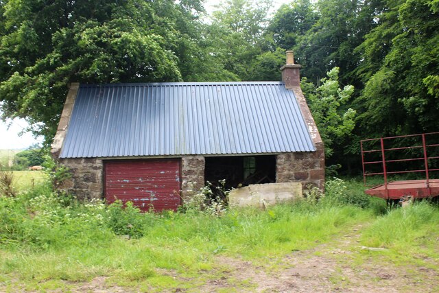
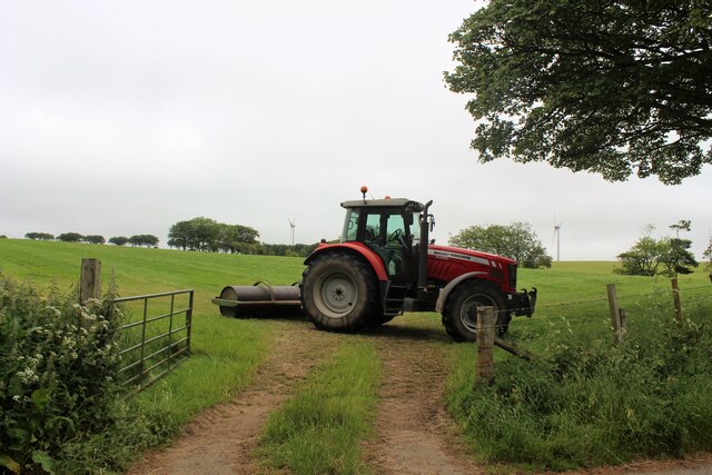
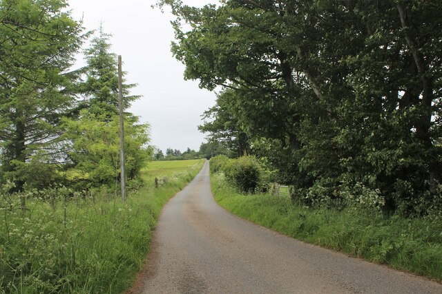
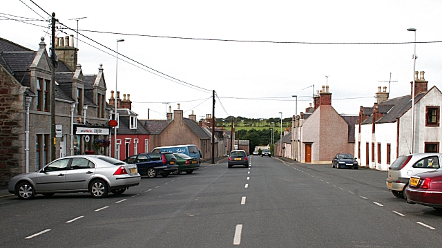
Cairnhill is home to a close-knit community and offers a peaceful and idyllic setting. The village is characterized by its traditional stone houses, many of which have been beautifully preserved, showcasing the architectural heritage of the region. The surrounding countryside provides ample opportunities for outdoor activities such as hiking, cycling, and fishing.

Although small in size, Cairnhill boasts several amenities for its residents. It has a local primary school, ensuring access to education for the younger population. The village also has a community center that serves as a hub for social gatherings and events, fostering a sense of community spirit.

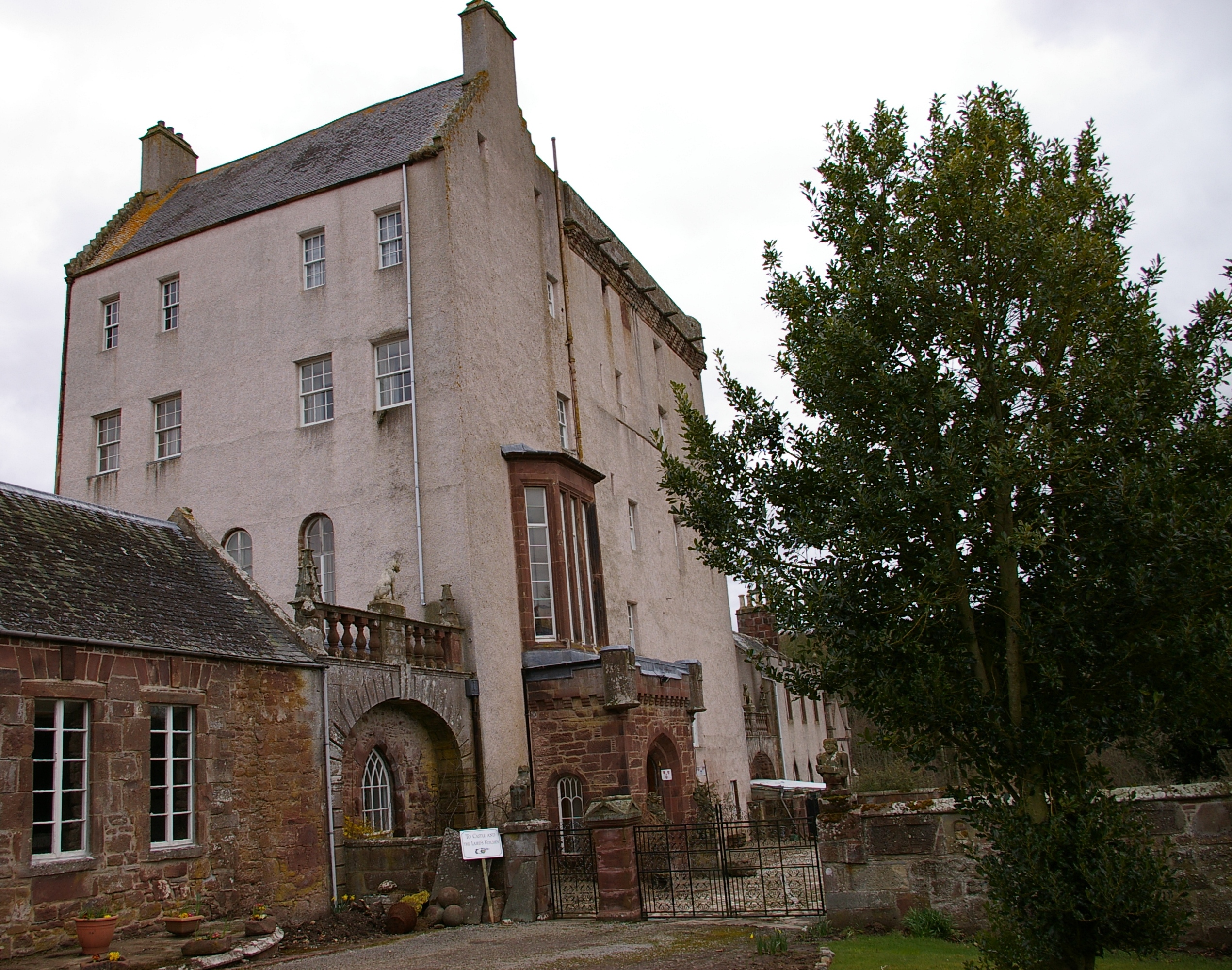
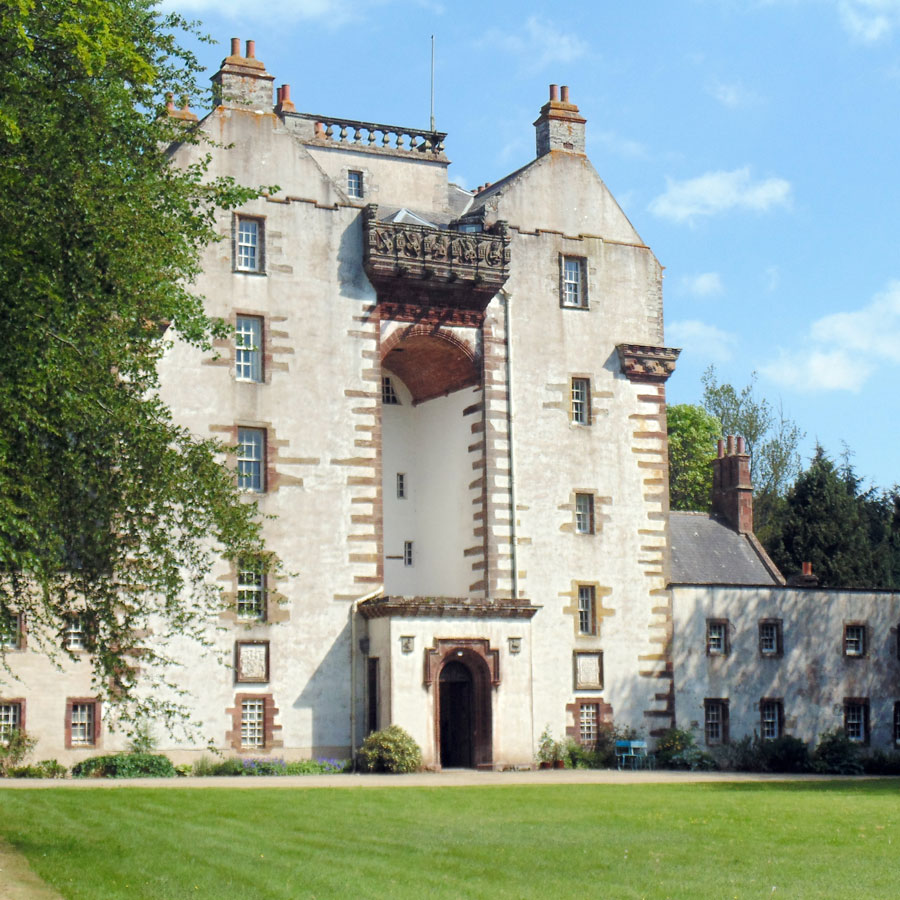
For those seeking a taste of Scottish history and culture, Cairnhill is conveniently located near various historical sites and landmarks. Nearby attractions include the iconic Craigievar Castle, a pink-hued tower house, and the picturesque village of Aboyne, known for its Highland games and charming streets.

Overall, Cairnhill offers a tranquil and scenic environment, making it an attractive place for nature lovers, outdoor enthusiasts, and those seeking a peaceful rural lifestyle within easy reach of urban amenities.

If you have any feedback on the listing, please let us know in the comments section below.
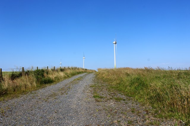
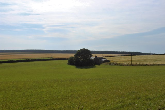
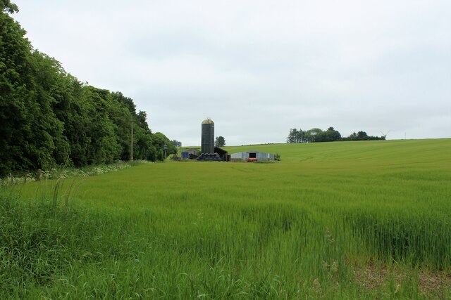
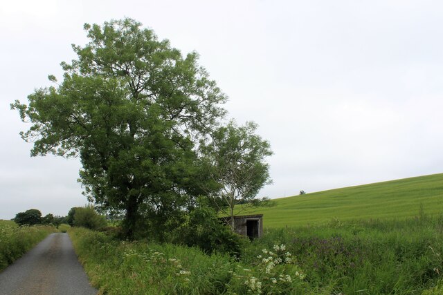
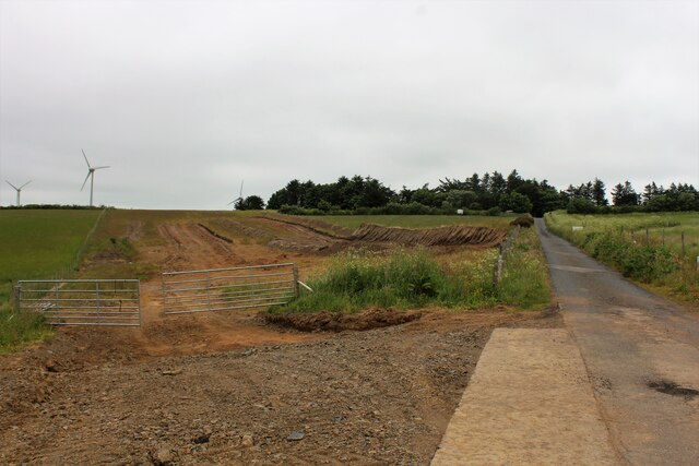
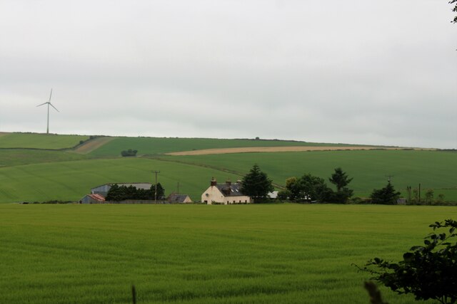
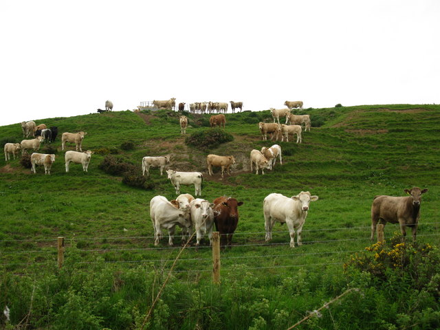
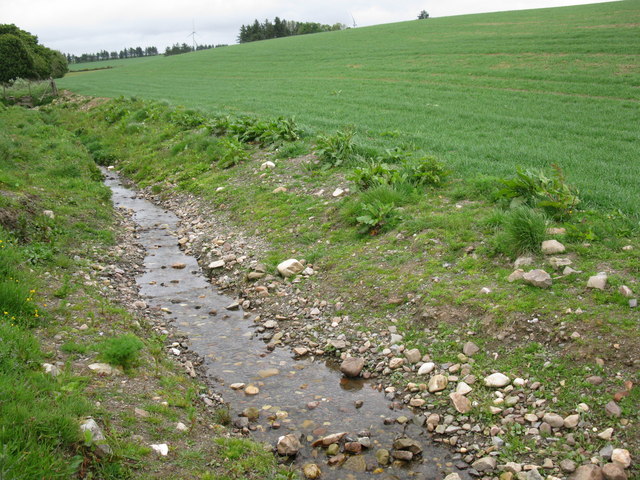
Cairnhill Images

Images are sourced within 2km of 57.557856/-2.3650569 or Grid Reference NJ7852. Thanks to Geograph Open Source API. All images are credited.

Road looking northeast
Road looking north
Road looking north
Tree Lined Field By Auchry A field with surrounding woodland .Everton of Auchry is to the left Auchry House to the right and beyond the photo.
Tree Lined Field By Auchry
A field with surrounding woodland .Everton of Auchry is to the left Auchry House to the right and beyond the photo.
Downhill to Cuminestown The brae by Auchry leading south, Cuminestown can be seen in the distance on the left.
Downhill to Cuminestown
The brae by Auchry leading south, Cuminestown can be seen in the distance on the left.
Turbine Access An access road to Castle of Auchry wind Farm. The road is in the square the turbines not.
Turbine Access
An access road to Castle of Auchry wind Farm. The road is in the square the turbines not.
Upper Lambtech A croft by Delgaty with the wood of Delgaty behind.
Upper Lambtech
A croft by Delgaty with the wood of Delgaty behind.
Muiryfold Silo A view across a grain crop of the silo and southern half of Muiryfold Farm Steading.
Muiryfold Silo
A view across a grain crop of the silo and southern half of Muiryfold Farm Steading.
Pump House and Tree A pump house by Muiryfold Burn, presumably supplying fresh water from springs to the nearby cottage and farm.
Pump House and Tree
A pump house by Muiryfold Burn, presumably supplying fresh water from springs to the nearby cottage and farm.
Easter Badentyre The access road leading uphill to Easter Badentyre Farm.
Easter Badentyre
The access road leading uphill to Easter Badentyre Farm.
New Roof Old Building A new roof has been installed on an old farm building at Wester Badentyre.
New Roof Old Building
A new roof has been installed on an old farm building at Wester Badentyre.
Just Park the Roller Perhaps not what springs to mind from the title but this roller is indeed parked by Wester Badentyre.
Just Park the Roller
Perhaps not what springs to mind from the title but this roller is indeed parked by Wester Badentyre.
North from Badentyre The road leading north from Wester Badentyre towards the Hill of Brackens.
North from Badentyre
The road leading north from Wester Badentyre towards the Hill of Brackens.
Roadside Excavation One to watch! Roadside excavations in preparation for some building work.
Roadside Excavation
One to watch! Roadside excavations in preparation for some building work.
North Everton The small farm of North Everton.
North Everton
The small farm of North Everton.
Cattle at Muiryfold
Cattle at Muiryfold
Shallow stream The stream appears to have been newly cleared.
Shallow stream
The stream appears to have been newly cleared.
View towards Easter Badentyre
Across the Burn of Monquhitter Beside the burn is damp ground under grass, while barley dominates the drier hillsides.
Across the Burn of Monquhitter
Beside the burn is damp ground under grass, while barley dominates the drier hillsides.
Show me another place!

Cairnhill is located at Grid Ref: NJ7852 (Lat: 57.557856, Lng: -2.3650569)

Unitary Authority: Aberdeenshire

Police Authority: North East

What 3 Words

///coder.lists.composes. Near Turriff, Aberdeenshire

Nearby Locations

Cairnhill

Related Wikis

Garmond, Aberdeenshire

Garmond (Scottish Gaelic: Garbh Mhon(adh)) is a linear village in Monquhitter Parish which is located in Aberdeenshire, Scotland. It was founded c.1760...

Cuminestown

Cuminestown is a village in the Formartine area of Aberdeenshire, Scotland, and sits at the centre of the parish of Monquhitter. It is approximately 6...

Delgatie Castle

Delgatie Castle is a castle near Turriff, in Aberdeenshire, Scotland. A castle has stood on the site of Delgatie Castle since the year 1030 AD, although...

Idoch Castle

Idoch Castle was a 14th-century castle about 3 miles (4.8 km) east of Turriff, Aberdeenshire Scotland, near Idoch Water, a tributary of the River Deveron...

Craigston Castle

Craigston Castle is a 17th-century country house located about 4 miles (6.4 kilometres) north-east of Turriff, Aberdeenshire, Scotland, and is an historic...

New Byth

New Byth is a small inland planned village in the Banff and Buchan committee area of Aberdeenshire, Scotland, that lies a few miles northeast of Cuminestown...

Turriff Cottage Hospital

Turriff Cottage Hospital is a community hospital in Turriff, Aberdeenshire, Scotland. It is managed by NHS Grampian. == History == The hospital was designed...

Crudie

Crudie is a settlement in Aberdeenshire, Scotland. It is situated on the A98. It has a primary school and a war memorial. == References ==

Related Videos

Nearby Amenities

Located within 500m of 57.557856,-2.3650569
Power: pole
Lat/Long: 57.5557871/-2.3584557
Power: pole
Lat/Long: 57.5554043/-2.3597699
Power: pole
Lat/Long: 57.5550417/-2.3610306
Power: pole
Lat/Long: 57.5546589/-2.3623931
Power: pole
Lat/Long: 57.5542992/-2.363686
Power: pole
Lat/Long: 57.5538962/-2.3649788
Power: pole
Lat/Long: 57.5541265/-2.3663306
Power: pole
Lat/Long: 57.5542891/-2.3676744
Power: pole
Lat/Long: 57.5544733/-2.3689941
Power: pole
Lat/Long: 57.5546733/-2.3703325
Power: pole
Lat/Long: 57.557336/-2.3717555
Power: pole
Lat/Long: 57.5574735/-2.372666
Power: pole
Lat/Long: 57.5567184/-2.3720226
Power: pole
Lat/Long: 57.5558924/-2.3724961
Power: pole
Lat/Long: 57.5579298/-2.3713954
Power: pole
Lat/Long: 57.5585224/-2.371102
Power: pole
Lat/Long: 57.5591238/-2.3707802
Power: pole
Lat/Long: 57.5597436/-2.3704727
Power: pole
Lat/Long: 57.559546/-2.3693152
Power: pole
Lat/Long: 57.5592682/-2.3681416
Power: pole
Lat/Long: 57.5589979/-2.366968
Power: pole
Lat/Long: 57.5587189/-2.3657843
Power: pole
Lat/Long: 57.55839/-2.3643719
Power: pole
Lat/Long: 57.558733/-2.363176
Power: pole
Lat/Long: 57.5590652/-2.3619761
Power: pole
Lat/Long: 57.5594169/-2.3607114
Power: pole
Lat/Long: 57.5597577/-2.3595236
Power: pole
Lat/Long: 57.5600052/-2.358609
Power: pole
Lat/Long: 57.5590648/-2.3597592
The data included in this document is from www.openstreetmap.org. The data is made available under ODbL.

Have you been to Cairnhill?

Leave your review of Cairnhill below (or comments, questions and feedback).