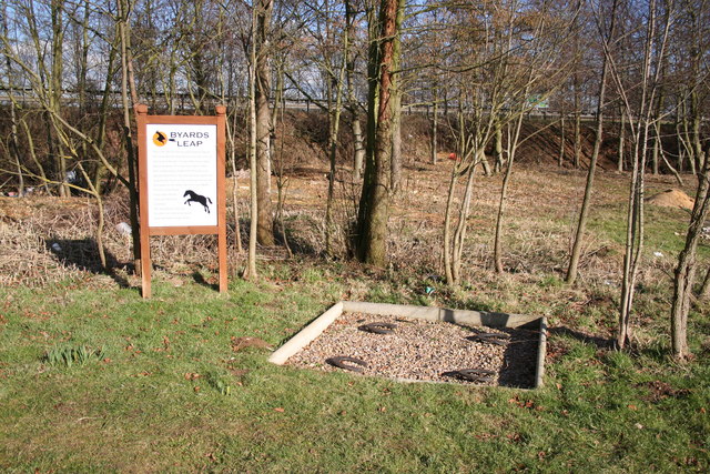
Byard's Leap

Settlement in Lincolnshire North Kesteven

England

Byard's Leap

Autumn sown crop Lord Bristol's Plantation on the left. A little snow lingering from two days ago.
Autumn sown crop Credit: Jonathan Thacker

The requested URL returned error: 429 Too Many Requests

If you have any feedback on the listing, please let us know in the comments section below.
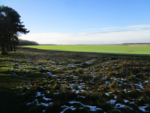
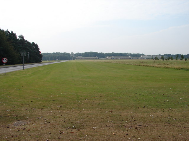
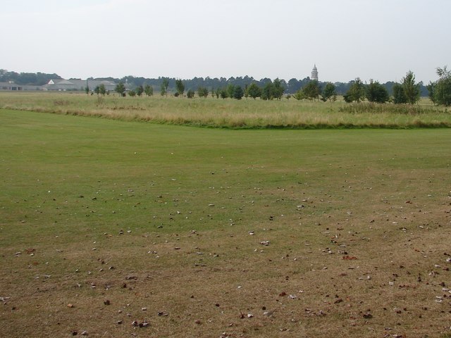
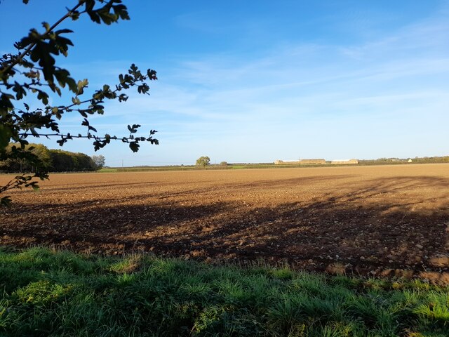
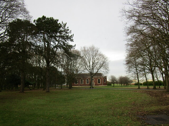
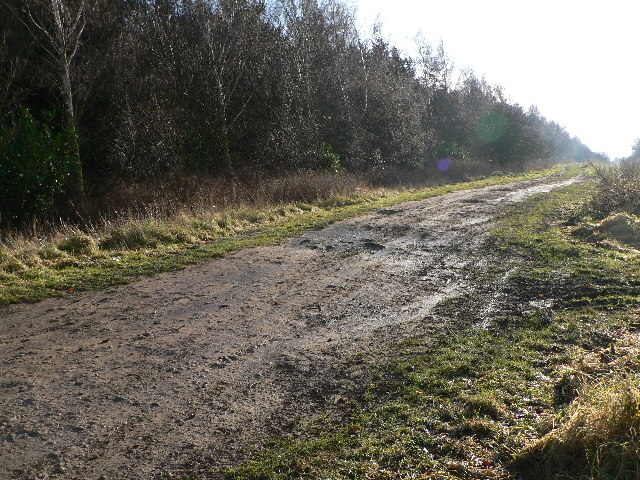
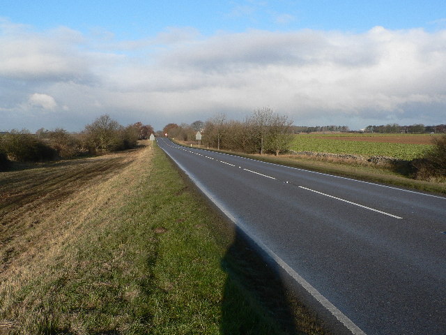
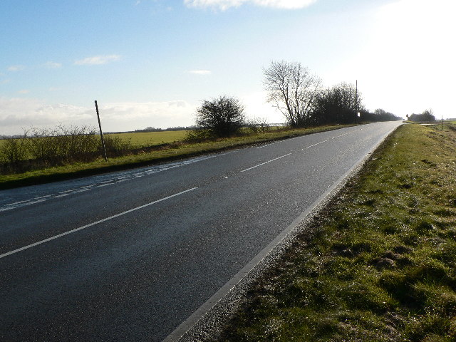
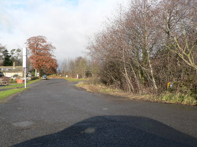
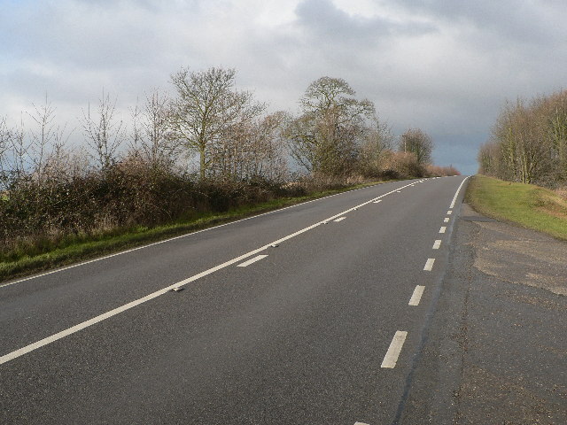
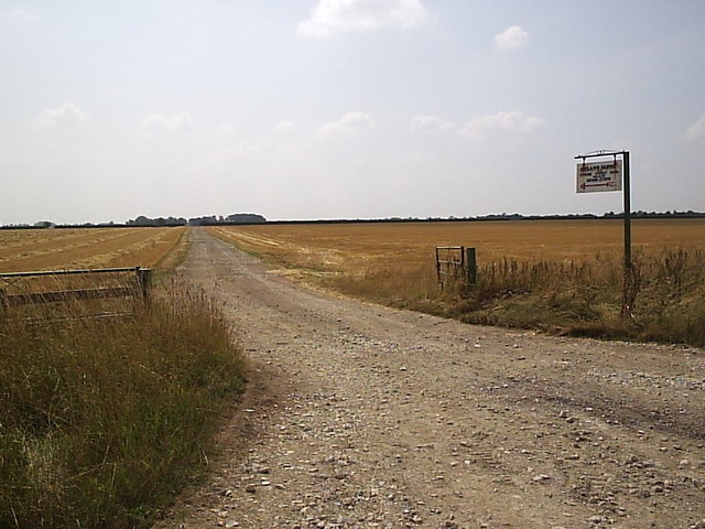
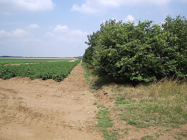
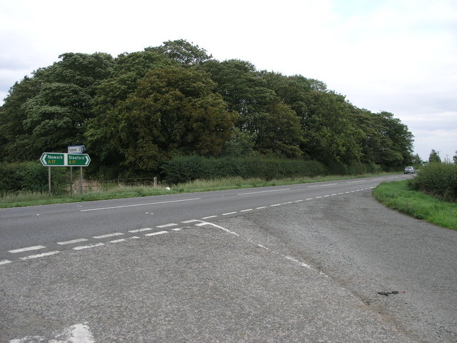
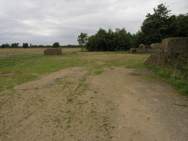
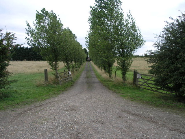
Byard's Leap Images

Images are sourced within 2km of 53.032146/-0.52508091 or Grid Reference SK9949. Thanks to Geograph Open Source API. All images are credited.

Autumn sown crop Lord Bristol's Plantation on the left. A little snow lingering from two days ago.
Autumn sown crop
Lord Bristol's Plantation on the left. A little snow lingering from two days ago.
View from Plantation Road Playing fields and golf course leading towards buildings at RAF Cranwell.
The road to the left is 'Lighter than Air Road'.
View from Plantation Road
Playing fields and golf course leading towards buildings at RAF Cranwell. The road to the left is 'Lighter than Air Road'.
Looking from Plantation Road Towards RAF Cranwell College The College tower features a lighthouse which is visible from miles around.
Looking from Plantation Road Towards RAF Cranwell College
The College tower features a lighthouse which is visible from miles around.
Field, Fulbeck Heath Taken from the A17 layby.
Field, Fulbeck Heath
Taken from the A17 layby.
Church of St Michael and All Angels, RAF Cranwell
Ermine Street Roman Road Looking S from Long Lane
Ermine Street Roman Road
Looking S from Long Lane
Ermine Street Roman Road Looking N towards Byard's Leap
Ermine Street Roman Road
Looking N towards Byard's Leap
Ermine Street Roman Road Looking S - the modern designation of B6403 seems very temporary...
Ermine Street Roman Road
Looking S - the modern designation of B6403 seems very temporary...
Ermine Street Roman Road Looking N. Creating a safer modern junction with the A17(T) left this sealed "stub" of Ermine Street at Byard's Leap
Ermine Street Roman Road
Looking N. Creating a safer modern junction with the A17(T) left this sealed "stub" of Ermine Street at Byard's Leap
Ermine Street Roman Road AKA High Dike and B6403 in this section, here looking N at the entrance to Ermine Street Farm
Ermine Street Roman Road
AKA High Dike and B6403 in this section, here looking N at the entrance to Ermine Street Farm
Byard's Leap According to local legend, hundreds of years ago, an ugly old witch called Meg and her black cat were held responsible for failing crops and dying cattle on Ancaster Heath. A local knight 'Big Jim' and his trusty steed Byard approached the witch's hovel .... she attacked them and sank her claws into Byard who made a prodigious leap, greater than any horse had ever made before. The witch fell off whereupon Big Jim dismounted and killed her. The four horseshoes mark the spot where Byard landed and has been known as 'Byard's Leap' ever since. A true story?
Byard's Leap
According to local legend, hundreds of years ago, an ugly old witch called Meg and her black cat were held responsible for failing crops and dying cattle on Ancaster Heath. A local knight 'Big Jim' and his trusty steed Byard approached the witch's hovel .... she attacked them and sank her claws into Byard who made a prodigious leap, greater than any horse had ever made before. The witch fell off whereupon Big Jim dismounted and killed her. The four horseshoes mark the spot where Byard landed and has been known as 'Byard's Leap' ever since. A true story?
Long Track This long farm track leads to Ermine Street Farm which is more than a kilometre away from this entrance.
Long Track
This long farm track leads to Ermine Street Farm which is more than a kilometre away from this entrance.
Potatoes and Trees The narrow plantation of trees runs for about half the length of this square.  It appears to be either a wind break or game cover, or both.
Potatoes and Trees
The narrow plantation of trees runs for about half the length of this square. It appears to be either a wind break or game cover, or both.
Triangle of Trees This small copse stand by the side of the busy A17 opposite the road to Fulbeck.
Triangle of Trees
This small copse stand by the side of the busy A17 opposite the road to Fulbeck.
Bale Structure These bales appear to have been stacked in a half circle in the corner of this field.  The A17 runs just beyond the hedge in the distance.
Bale Structure
These bales appear to have been stacked in a half circle in the corner of this field. The A17 runs just beyond the hedge in the distance.
Avenue Entrance This avenue of odd sized trees leads to Heath Farm.
Avenue Entrance
This avenue of odd sized trees leads to Heath Farm.
Royal Air Force College, Cranwell
Ermine Street Farm
Ermine Street Farm
Show me another place!

Byard's Leap is located at Grid Ref: SK9949 (Lat: 53.032146, Lng: -0.52508091)

Division: Parts of Kesteven

Administrative County: Lincolnshire

District: North Kesteven

Police Authority: Lincolnshire

What 3 Words

///buildings.fuzz.ruffling. Near Cranwell, Lincolnshire

Nearby Locations

Byard's Leap

Related Wikis

Byard's Leap

Byard's Leap is a hamlet in the North Kesteven district of Lincolnshire, England. It is situated approximately 3 miles (5 km) west from Cranwell, and is...

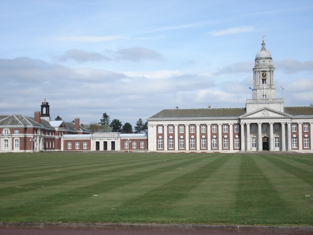
Royal Air Force College Cranwell

The Royal Air Force College (RAFC) is the Royal Air Force military academy which provides initial training to all RAF personnel who are preparing to become...

Central Flying School

The Central Flying School (CFS) is the Royal Air Force's primary institution for the training of military flying instructors. Established in 1912 at the...

Sleaford and North Hykeham (UK Parliament constituency)

Sleaford and North Hykeham is a parliamentary constituency in Lincolnshire, England which elects a single Member of Parliament (MP) to the House of Commons...

Nearby Amenities

Located within 500m of 53.032146,-0.52508091
Speed Camera
Maxspeed: 60 mph
Lat/Long: 53.0326741/-0.5247626
Bus Stop
Byard's Leap Farm
Naptan AtcoCode: 270000010031
Naptan Bearing: NE
Naptan CommonName: Byard's Leap Farm
Naptan Indicator: NE - bound
Naptan Landmark: Byard's Leap Farm
Naptan NaptanCode: linjgpjd
Naptan Street: B6403 High Dike
Naptan Verified: no
Source: naptan_import
Lat/Long: 53.0319229/-0.5255351
Bus Stop
Byard's Leap Farm
Naptan AtcoCode: 2700LBL00243
Naptan Bearing: SW
Naptan CommonName: Byard's Leap Farm
Naptan Indicator: SW - bound
Naptan Landmark: Byard's Leap Farm
Naptan NaptanCode: linadjdw
Naptan Street: B6403 High Dike
Naptan Verified: no
Source: naptan_import
Lat/Long: 53.0318612/-0.5253259
Byard's Leap Farm
Historic Place: farm
Source: Bing
Lat/Long: 53.0316523/-0.5241411
Byard's Leap
Place: hamlet
Source: Bing
Lat/Long: 53.032086/-0.525373
Historic: archaeological_site
Source: Bing
Lat/Long: 53.0320545/-0.5193016
Power: pole
Lat/Long: 53.0332237/-0.5297122
Direction: 300
Man Made: surveillance
Surveillance: public
Surveillance Type: ALPR
Surveillance Zone: traffic
Lat/Long: 53.0304358/-0.520958
Direction: 120
Man Made: surveillance
Surveillance: public
Surveillance Type: ALPR
Surveillance Zone: traffic
Lat/Long: 53.0303627/-0.5212519
Restaurant
Byards Leap Country Kitchen
Addr City: Cranwell
Addr Postcode: NG34 8EY
Addr Street: Byards Leap
Fhrs Authority: South Kesteven
Fhrs Id: 237942
Fhrs Local Authority Id: 4616
Lat/Long: 53.0322974/-0.5259973
The data included in this document is from www.openstreetmap.org. The data is made available under ODbL.

Have you been to Byard's Leap?

Leave your review of Byard's Leap below (or comments, questions and feedback).