Bushy Hill

Settlement in Surrey Guildford

England

Bushy Hill

Bus stops on Epsom Road The A246 main road to Guildford centre.
Bus stops on Epsom Road Credit: James Emmans

Bushy Hill is a small village located in the county of Surrey, England. Situated approximately 30 miles southwest of London, it lies within the borough of Reigate and Banstead. The village is nestled in a picturesque rural setting, surrounded by lush green fields and rolling hills, offering a peaceful and idyllic atmosphere.

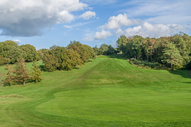
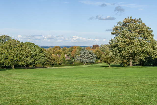
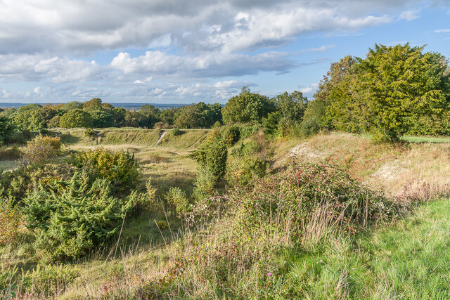
One of the notable features of Bushy Hill is its abundance of beautiful natural landscapes. The area is known for its extensive woodland, making it a popular destination for nature enthusiasts and hikers. The nearby Reigate Hill and Gatton Park provide stunning views of the surrounding countryside, offering ample opportunities for outdoor activities and exploration.

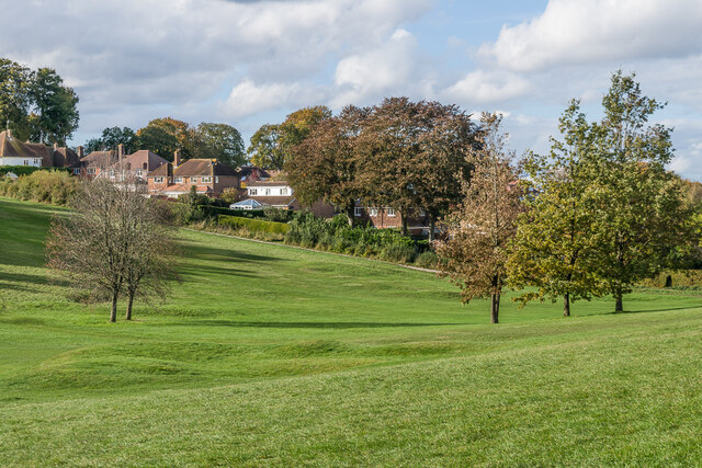
Despite its rural setting, Bushy Hill benefits from its proximity to the town of Reigate, which is only a short distance away. This means residents have access to a range of amenities, including shops, restaurants, and leisure facilities. The village itself has a close-knit community, with a local pub and a village hall serving as social hubs for residents.

Transport links in Bushy Hill are relatively good, with regular bus services connecting the village to nearby towns and railway stations. The M25 motorway is also easily accessible, providing convenient connections to London and other parts of the country.

Overall, Bushy Hill offers a tranquil and picturesque setting, making it an attractive place to live for those seeking a peaceful countryside lifestyle, while still having access to nearby urban amenities.

If you have any feedback on the listing, please let us know in the comments section below.
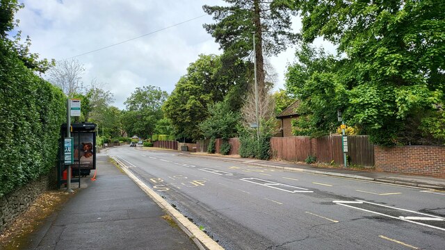
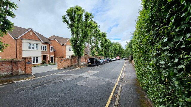
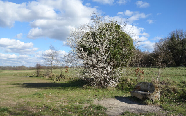
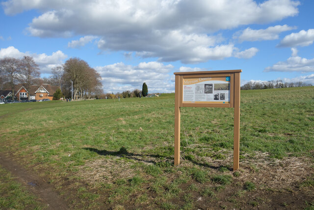
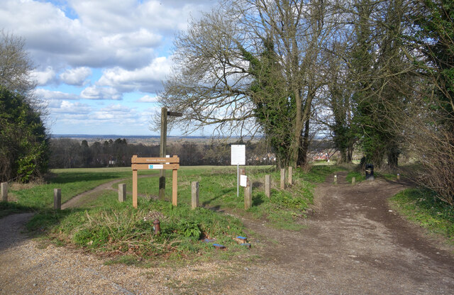
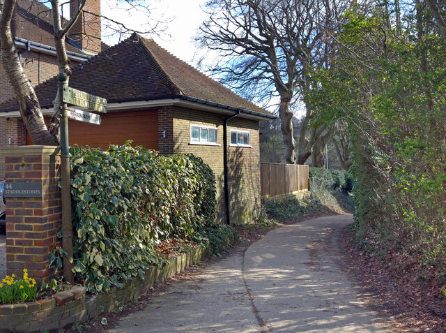
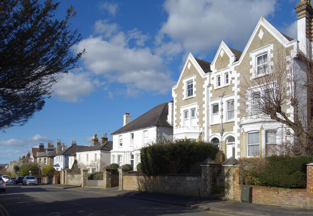
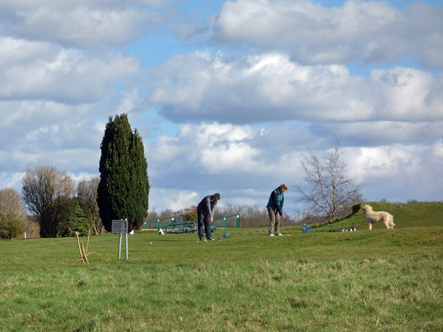
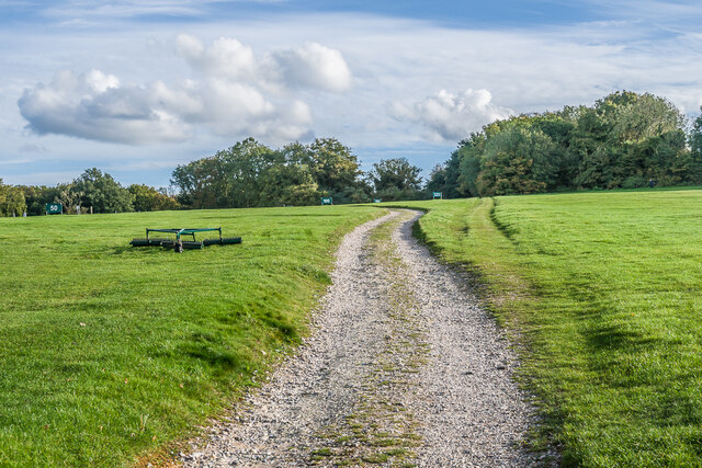
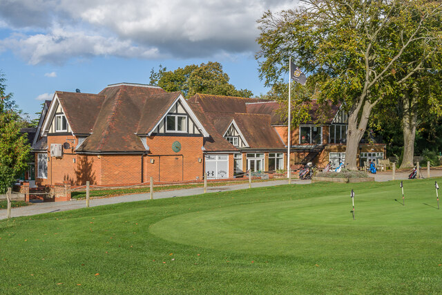
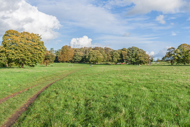
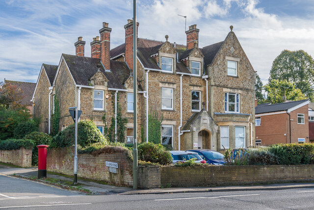
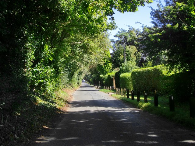
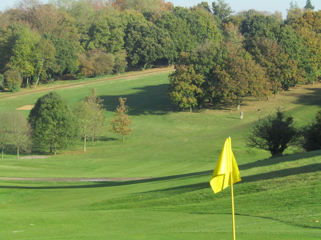
Bushy Hill Images

Images are sourced within 2km of 51.248951/-0.53772957 or Grid Reference TQ0250. Thanks to Geograph Open Source API. All images are credited.

Bus stops on Epsom Road The A246 main road to Guildford centre.
Bus stops on Epsom Road
The A246 main road to Guildford centre.
Maori Road New houses in a residential street.
Maori Road
New houses in a residential street.
Log Seat and Blossom, Merrow Downs A large park like area of grassy open space where countryside begins again beyond the southern edge of town.
Log Seat and Blossom, Merrow Downs
A large park like area of grassy open space where countryside begins again beyond the southern edge of town.
Site of the Prison Camp Almost nothing now remains of the WW2 camp on this open space which once housed over 800 prisoners. After the war the buildings were used as emergency housing up until the mid 1950s and then the site was cleared.
The notice board tells you all about it.
Site of the Prison Camp
Almost nothing now remains of the WW2 camp on this open space which once housed over 800 prisoners. After the war the buildings were used as emergency housing up until the mid 1950s and then the site was cleared. The notice board tells you all about it.
Paths onto Merrow Downs A tract of grassy hillside access land on the edge of Guildford.
Paths onto Merrow Downs
A tract of grassy hillside access land on the edge of Guildford.
Footpath to Warren Farm An old cast iron signpost points along a path to Warren Farm and on up to Pewley Down.
Footpath to Warren Farm
An old cast iron signpost points along a path to Warren Farm and on up to Pewley Down.
Austen Road, Guildford A residential street with smart Victorian villas in an assortment of designs.
Austen Road, Guildford
A residential street with smart Victorian villas in an assortment of designs.
Golfers and a Dog on Merrow Downs Near the Club House at Guildford Golf Club.
Golfers and a Dog on Merrow Downs
Near the Club House at Guildford Golf Club.
Guildford Golf Club Looking along the fairway of hole 17 at Guildford Golf Club.
Guildford Golf Club
Looking along the fairway of hole 17 at Guildford Golf Club.
Guildford Golf Club Looking across the fairway of hole 14 at Guildford Golf Club with houses in Downsway in the background.
Guildford Golf Club
Looking across the fairway of hole 14 at Guildford Golf Club with houses in Downsway in the background.
Old chalk pit Looking across an old chalk pit on Merrow Downs, now a used as a hazard on hole 15 of Guildford Golf Club.
Old chalk pit
Looking across an old chalk pit on Merrow Downs, now a used as a hazard on hole 15 of Guildford Golf Club.
Guildford Golf Club Looking across the fairways of holes 17 and 1 at Guildford Golf Club with houses in Longmead in the background.
Guildford Golf Club
Looking across the fairways of holes 17 and 1 at Guildford Golf Club with houses in Longmead in the background.
Guildford Golf Club Track across the practice ground at Guildford Golf Club.
Guildford Golf Club
Track across the practice ground at Guildford Golf Club.
Clubhouse, Guildford Golf Club The clubhouse at Guildford Golf Club.
Clubhouse, Guildford Golf Club
The clubhouse at Guildford Golf Club.
Merrow Downs Open grassland at the west end of Merrow Downs.
Merrow Downs
Open grassland at the west end of Merrow Downs.
86 Epsom Road Large late 19th/early 20th Century house on the corner of Epsom Road and St Omer Road, now offices of an engineering consultancy.
86 Epsom Road
Large late 19th/early 20th Century house on the corner of Epsom Road and St Omer Road, now offices of an engineering consultancy.
White Lane This runs along the crest of the North Downs scarp.  Residential development thus far is on the south side only - plots chosen, no doubt, for the elevated view.
White Lane
This runs along the crest of the North Downs scarp. Residential development thus far is on the south side only - plots chosen, no doubt, for the elevated view.
Guildford - Golf Course On Merrow Downs, east of the town centre.
Guildford - Golf Course
On Merrow Downs, east of the town centre.
Show me another place!

Bushy Hill is located at Grid Ref: TQ0250 (Lat: 51.248951, Lng: -0.53772957)

Administrative County: Surrey

District: Guildford

Police Authority: Surrey

What 3 Words

///darker.shops.tasty. Near West Clandon, Surrey

Nearby Locations

Merrow Bushy Hill

Related Wikis

St Peter's Catholic School, Guildford

St Peter's Catholic School, colloquially known as St Peter's, is a co-educational secondary school and sixth form located in Guildford, Surrey, England...

Merrow, Surrey

The village of Merrow in Surrey, England, is a suburb in the north-east of Guildford. It is 2 miles (3.2 km) from the town's centre, on the edge of the...

George Abbot School

George Abbot School is a coeducational secondary school and sixth form with academy status in Burpham, north-east of the town centre of Guildford providing...

Guildford Golf Club

Guildford Golf Club is a private members' golf club in Merrow, near Guildford, England. The club was founded in 1886 and the course was opened in June...

Nearby Amenities

Located within 500m of 51.248951,-0.53772957
Turning Circle
Lat/Long: 51.2528807/-0.5347838
Recycling
Created By: Potlatch 0.8a
Source: voice
Lat/Long: 51.2515333/-0.5382552
Bus Stop
Great Goodwin Drive
Naptan AtcoCode: 40004407269A
Naptan Bearing: N
Naptan CommonName: Great Goodwin Drive
Naptan Indicator: Just after
Naptan Landmark: Great Goodwin Drive
Naptan NaptanCode: suraptpw
Naptan PlusbusZoneRef: GUILDFD
Naptan Street: Bushy Hill Drive
Naptan Verified: yes
Public Transport: platform
Source: naptan_import;voice
Lat/Long: 51.2505105/-0.541181
Costcutter
Addr City: Guildford
Addr Country: GB
Addr Housenumber: 61
Addr Postcode: GU1 2UQ
Addr Street: Bushy Hill Drive
Brand: Costcutter
Brand Wikidata: Q5175072
Contact Website: https://store-locator.costcutter.co.uk/costcutter-44b56bef833b
Fhrs Authority: Guildford
Fhrs Id: 649624
Fhrs Local Authority Id: 3863
Shop: convenience
Source: voice
Lat/Long: 51.2494378/-0.5401796
Bus Stop
Sheeplands Avenue
Naptan AtcoCode: 40004407272B
Naptan Bearing: SE
Naptan CommonName: Sheeplands Avenue
Naptan Indicator: Just Before
Naptan Landmark: Sheeplands Avenue
Naptan NaptanCode: suraptwj
Naptan PlusbusZoneRef: GUILDFD
Naptan Street: Bushy Hill Drive
Naptan Verified: yes
Public Transport: platform
Source: naptan_import;voice
Lat/Long: 51.2477876/-0.5345153
Bus Stop
Sheeplands Avenue
Naptan AtcoCode: 40004407272A
Naptan Bearing: NW
Naptan CommonName: Sheeplands Avenue
Naptan Indicator: Just after
Naptan Landmark: Sheeplands Avenue
Naptan NaptanCode: suraptwg
Naptan PlusbusZoneRef: GUILDFD
Naptan Street: Bushy Hill Drive
Naptan Verified: yes
Public Transport: platform
Source: naptan_import;voice
Lat/Long: 51.247574/-0.5342101
Bus Stop
Baldwin Crescent
Naptan AtcoCode: 40004407401A
Naptan Bearing: E
Naptan CommonName: Baldwin Crescent
Naptan Indicator: Just Before
Naptan Landmark: Baldwin Crescent
Naptan NaptanCode: suratjap
Naptan PlusbusZoneRef: GUILDFD
Naptan Street: Kingfisher Drive
Naptan Verified: yes
Public Transport: platform
Source: naptan_import;voice
Lat/Long: 51.251398/-0.533921
Bus Stop
Greenhill Gardens
Naptan AtcoCode: 40004407333A
Naptan Bearing: W
Naptan CommonName: Greenhill Gardens
Naptan Indicator: Just after
Naptan Landmark: Greenhill Gardens
Naptan NaptanCode: suratawj
Naptan PlusbusZoneRef: GUILDFD
Naptan Street: Kingfisher Drive
Naptan Verified: yes
Public Transport: platform
Source: naptan_import;voice
Lat/Long: 51.2525544/-0.5374125
Bus Stop
Greenhill Gardens
Naptan AtcoCode: 40004407402A
Naptan Bearing: E
Naptan CommonName: Greenhill Gardens
Naptan Indicator: Just Before
Naptan Landmark: Greenhill Gardens
Naptan NaptanCode: suratjat
Naptan PlusbusZoneRef: GUILDFD
Naptan Street: Kingfisher Drive
Naptan Verified: yes
Public Transport: platform
Source: naptan_import;voice
Lat/Long: 51.2527048/-0.5376635
Mini Roundabout
Lat/Long: 51.2454522/-0.5399873
Post Box
Post Box Type: lamp
Postal Code: GU1
Ref: GU1 255
Source: photo
Lat/Long: 51.2481864/-0.5362236
Old Phone: +44 1483 567485
Removed Amenity: telephone
Source: photo
Lat/Long: 51.2481946/-0.536265
Turning Circle
Lat/Long: 51.2505061/-0.538965
Bus Stop
Baldwin Crescent
Naptan AtcoCode: 40004407266A
Naptan Bearing: W
Naptan CommonName: Baldwin Crescent
Naptan Indicator: opp
Naptan Landmark: Baldwin Crescent
Naptan NaptanCode: suraptpa
Naptan PlusbusZoneRef: GUILDFD
Naptan Street: Kingfisher Drive
Naptan Verified: yes
Public Transport: platform
Source: naptan_import;voice
Lat/Long: 51.2513713/-0.5325297
Bus Stop
Finches Rise
Naptan AtcoCode: 40004407268A
Naptan Bearing: NW
Naptan CommonName: Finches Rise
Naptan Indicator: Just Before
Naptan Landmark: Finches Rise
Naptan NaptanCode: suraptpt
Naptan PlusbusZoneRef: GUILDFD
Naptan Street: Bushy Hill Drive
Naptan Verified: no
Public Transport: platform
Source: naptan_import
Lat/Long: 51.2488593/-0.5386016
Bus Stop
Community Centre
Naptan AtcoCode: 40004407270A
Naptan Bearing: SE
Naptan CommonName: Community Centre
Naptan Indicator: Just Before
Naptan Landmark: Bushy Hill Community Centre
Naptan NaptanCode: suraptwa
Naptan PlusbusZoneRef: GUILDFD
Naptan Street: Bushy Hill Drive
Naptan Verified: no
Public Transport: platform
Source: naptan_import
Lat/Long: 51.2517213/-0.5390985
Bus Stop
Bushy Hill Drive
Naptan AtcoCode: 40004407271A
Naptan Bearing: S
Naptan CommonName: Bushy Hill Drive
Naptan Indicator: S-bound
Naptan Landmark: Bushy Hill Drive
Naptan NaptanCode: suraptwd
Naptan PlusbusZoneRef: GUILDFD
Naptan Street: Bushy Hill Drive
Naptan Verified: no
Public Transport: platform
Source: naptan_import
Lat/Long: 51.2494676/-0.5375013
St Peters School
Naptan AtcoCode: 40004407319C
Naptan Bearing: N
Naptan BusStopType: CUS
Naptan CommonName: St Peters School
Naptan Indicator: Grounds
Naptan Landmark: St Peters School
Naptan NaptanCode: surgmwtw
Naptan PlusbusZoneRef: GUILDFD
Naptan Street: Horseshoe Lane East
Naptan Verified: no
Source: naptan_import
Lat/Long: 51.2465723/-0.5380717
Bus Stop
Long Dyke
Naptan AtcoCode: 40004407338A
Naptan Bearing: SE
Naptan CommonName: Long Dyke
Naptan Indicator: Just Before
Naptan Landmark: Long Dyke
Naptan NaptanCode: suratdat
Naptan PlusbusZoneRef: GUILDFD
Naptan Street: Great Goodwin Drive
Naptan Verified: no
Public Transport: platform
Source: naptan_import
Lat/Long: 51.2529431/-0.5410063
Bicycle Parking
Source: local knowledge
Lat/Long: 51.2451432/-0.5381562
Addr City: Merrow
Addr Postcode: GU1 2SQ
Addr Street: Bushy Hill Drive
Building: yes
Lat/Long: 51.2476803/-0.533533
Addr City: Merrow
Addr Postcode: GU1 2SQ
Addr Street: Bushy Hill Drive
Building: yes
Lat/Long: 51.2477919/-0.5340868
Addr City: Merrow
Addr Postcode: GU1 2SQ
Addr Street: Bushy Hill Drive
Building: yes
Lat/Long: 51.247734/-0.5338139
Addr City: Merrow
Addr Postcode: GU1 2SW
Addr Street: Banders Rise
Building: yes
Lat/Long: 51.2491067/-0.5338223
Generator Method: photovoltaic
Generator Source: solar
Generator Type: solar_photovoltaic_panel
Location: roof
Power: generator
Lat/Long: 51.2467512/-0.5335812
Generator Method: photovoltaic
Generator Source: solar
Generator Type: solar_photovoltaic_panel
Location: roof
Power: generator
Lat/Long: 51.247798/-0.5316179
Generator Method: photovoltaic
Generator Source: solar
Generator Type: solar_photovoltaic_panel
Location: roof
Power: generator
Lat/Long: 51.2531006/-0.5388558
Generator Method: photovoltaic
Generator Output Electricity: small_installation
Generator Source: solar
Generator Type: solar_photovoltaic_panel
Location: roof
Power: generator
Lat/Long: 51.2524929/-0.5341432
Generator Method: photovoltaic
Generator Source: solar
Generator Type: solar_photovoltaic_panel
Location: roof
Power: generator
Lat/Long: 51.2522193/-0.5352308
Generator Method: photovoltaic
Generator Source: solar
Generator Type: solar_photovoltaic_panel
Location: roof
Power: generator
Lat/Long: 51.2520598/-0.5343054
Generator Method: photovoltaic
Generator Source: solar
Generator Type: solar_photovoltaic_panel
Location: roof
Power: generator
Lat/Long: 51.251792/-0.534068
Generator Method: photovoltaic
Generator Source: solar
Generator Type: solar_photovoltaic_panel
Location: roof
Power: generator
Lat/Long: 51.2508997/-0.5322549
Generator Method: photovoltaic
Generator Source: solar
Generator Type: solar_photovoltaic_panel
Location: roof
Power: generator
Lat/Long: 51.2497799/-0.5337395
Generator Method: photovoltaic
Generator Source: solar
Generator Type: solar_photovoltaic_panel
Location: roof
Power: generator
Lat/Long: 51.2499545/-0.5352509
Generator Method: photovoltaic
Generator Source: solar
Generator Type: solar_photovoltaic_panel
Location: roof
Power: generator
Lat/Long: 51.2499999/-0.5355714
Generator Method: photovoltaic
Generator Source: solar
Generator Type: solar_photovoltaic_panel
Location: roof
Power: generator
Lat/Long: 51.2468771/-0.5397919
Crossing
Lat/Long: 51.2524474/-0.5390403
School
St Peter's Catholic School
Denomination: catholic
Religion: christian
Lat/Long: 51.2468987/-0.5383296
Defibrillator
Access: yes
Check Date: 2023-03-10
Defibrillator Location: On wall of community centre, by main door
Defibrillator Location En: On wall next to main door
Emergency: defibrillator
Indoor: no
Operator: Beating Hearts Merrow
Ref GB The Circuit: 6D885658-5453-4054-A20B-AED200FE62B7
Lat/Long: 51.2515364/-0.5385689
The data included in this document is from www.openstreetmap.org. The data is made available under ODbL.

Have you been to Bushy Hill?

Leave your review of Bushy Hill below (or comments, questions and feedback).