Burkham

Settlement in Hampshire East Hampshire

England

Burkham

Junction with The Avenue on A339 Road here leads to airfield and Lasham Gliding Centre
Junction with The Avenue on A339 Credit: Clint Mann

The requested URL returned error: 429 Too Many Requests

If you have any feedback on the listing, please let us know in the comments section below.
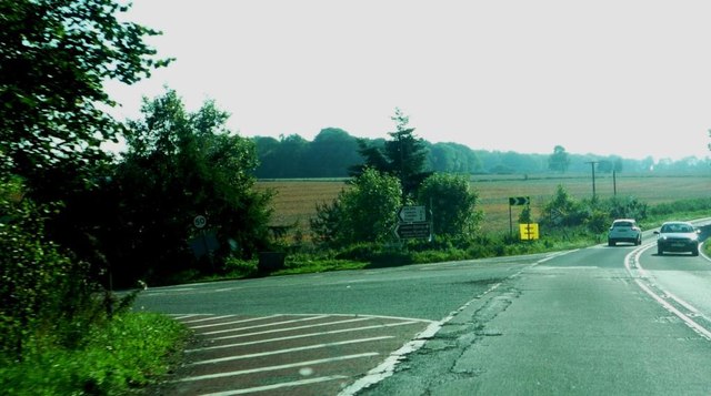
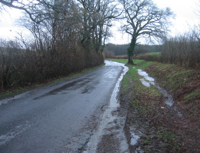
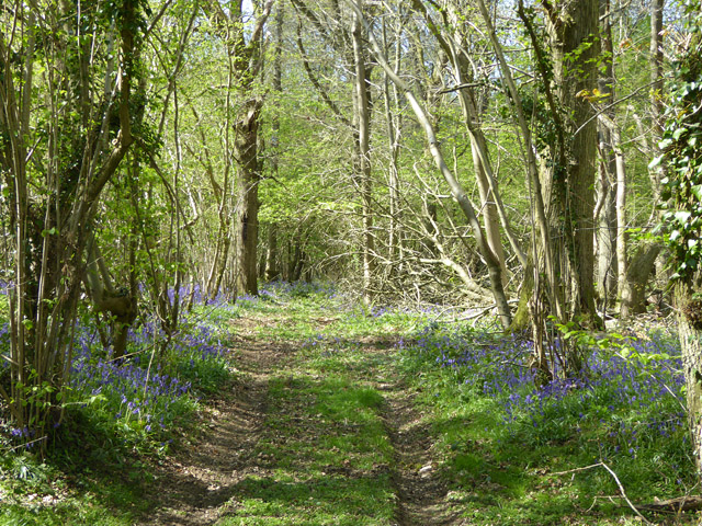
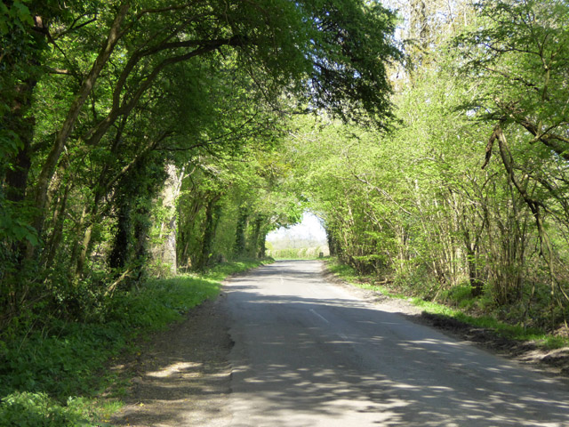
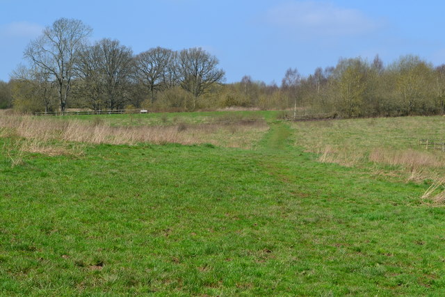
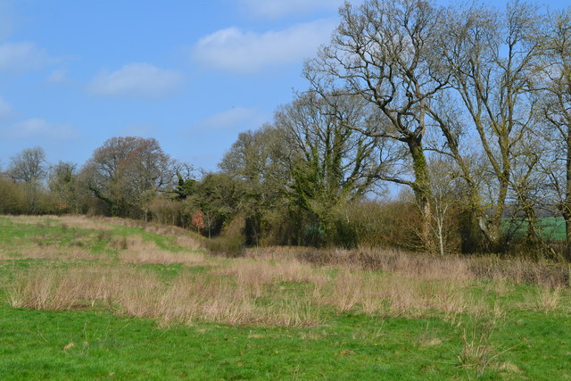
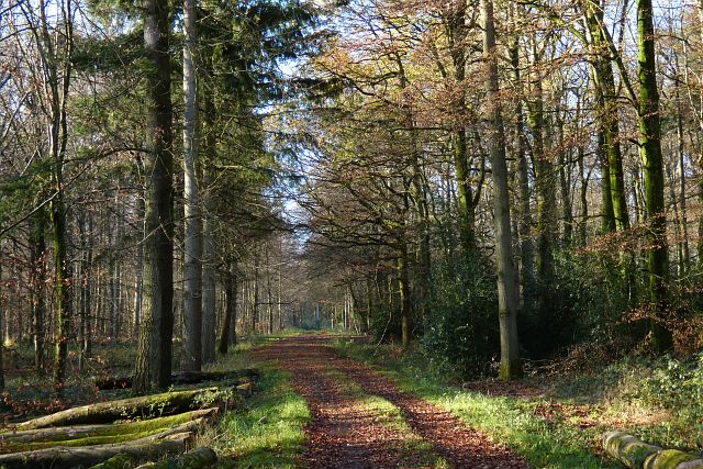
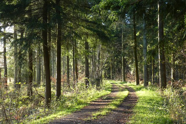
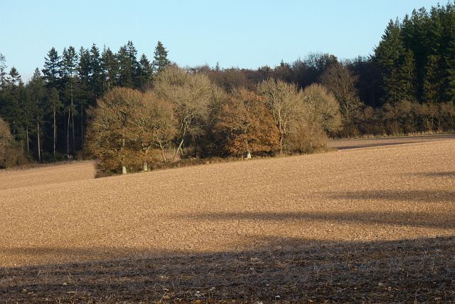
Burkham Images

Images are sourced within 2km of 51.180651/-1.0685377 or Grid Reference SU6542. Thanks to Geograph Open Source API. All images are credited.

Junction with The Avenue on A339 Road here leads to airfield and Lasham Gliding Centre
Junction with The Avenue on A339
Road here leads to airfield and Lasham Gliding Centre
Hill and bends on A339 Near Lasham
Hill and bends on A339
Near Lasham
A very damp Spain Lane
Track into Fliscombe's Copse A great many bluebells were out in woodland around here.
Track into Fliscombe's Copse
A great many bluebells were out in woodland around here.
Red Lane Woodland is to the left, an overgrown hedge to the right.
Red Lane
Woodland is to the left, an overgrown hedge to the right.
Path across field at Home Farm
Field edge at Home Farm
Woodland, Herriard The bridleway heading westwards in Middle Common Wood.
Woodland, Herriard
The bridleway heading westwards in Middle Common Wood.
Woodland, Herriard The bridleway near the southern edge of Herriard Common.
Woodland, Herriard
The bridleway near the southern edge of Herriard Common.
Pasture, Ellisfield A small copse stands on the site of an old pit.  Ham Copse is behind.
Pasture, Ellisfield
A small copse stands on the site of an old pit. Ham Copse is behind.
Farmland, Bradley The woodland of Herriard Common is beyond a small copse on the site of an old pit.
Farmland, Bradley
The woodland of Herriard Common is beyond a small copse on the site of an old pit.
Farmland, Bentworth Arable land beside the road from Burkham.
Farmland, Bentworth
Arable land beside the road from Burkham.
Farmland, Bentworth A soggy patch on a footpath heading towards the village from the west.
Farmland, Bentworth
A soggy patch on a footpath heading towards the village from the west.
Farmland, Bradley A crop of barley viewed from the byway to the east of the village.
Farmland, Bradley
A crop of barley viewed from the byway to the east of the village.
Farmland, Bradley Barley alongside the western edge of Bradley Wood.
Farmland, Bradley
Barley alongside the western edge of Bradley Wood.
Farmland, Bentworth A crop of wheat beside the footpath to the west of Burkham.
Farmland, Bentworth
A crop of wheat beside the footpath to the west of Burkham.
Farmland, Bradley A crop of wheat viewed from the bridleway to the north-east of the village.
Farmland, Bradley
A crop of wheat viewed from the bridleway to the north-east of the village.
Farmland east of Red Lane
Show me another place!

Burkham is located at Grid Ref: SU6542 (Lat: 51.180651, Lng: -1.0685377)

Administrative County: Hampshire

District: East Hampshire

Police Authority: Hampshire

What 3 Words

///sectors.aliens.musician. Near Alton, Hampshire

Nearby Locations

Wigdell Copse Burkham

Related Wikis

Burkham

Burkham is a hamlet in the large civil parish of Bentworth in Hampshire, England including a large country house, Burkham House. The nearest town is Alton...

Tickley

Tickley is a small hamlet in the large civil parish of Bentworth in Hampshire, England. It is considered a part of neighbouring Burkham which is situated...

Bagmore

Bagmore is a village in Hampshire, England.

Bradley, Hampshire

Bradley is a small village and civil parish in the Basingstoke and Deane district of Hampshire, England. Its nearest town is Alton, which lies 5.4 miles...

Nearby Amenities

Located within 500m of 51.180651,-1.0685377
Barrier: stile
Bicycle: no
Lat/Long: 51.176923/-1.0717317
Burkham
Place: hamlet
Source: OS_OpenData_StreetView
Wikidata: Q4998991
Lat/Long: 51.1781636/-1.069699
Home Farm
Alt Name: Burkham Farm
Place: farm
Lat/Long: 51.1814778/-1.0685946
Barrier: stile
Material: wood
Stile: stepover
Lat/Long: 51.1763908/-1.0693006
Power: pole
Lat/Long: 51.1769149/-1.0684687
Power: pole
Lat/Long: 51.1767131/-1.0674602
Power: pole
Lat/Long: 51.1765282/-1.0664731
Access: permissive
Barrier: kissing_gate
Material: metal
Lat/Long: 51.1785393/-1.064152
The data included in this document is from www.openstreetmap.org. The data is made available under ODbL.

Have you been to Burkham?

Leave your review of Burkham below (or comments, questions and feedback).