Buckham Hill

Settlement in Sussex Wealden

England

Buckham Hill

Horsted Pond Cottage
Horsted Pond Cottage Credit: N Chadwick

The requested URL returned error: 429 Too Many Requests

If you have any feedback on the listing, please let us know in the comments section below.
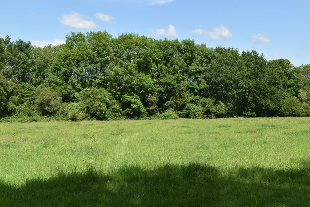
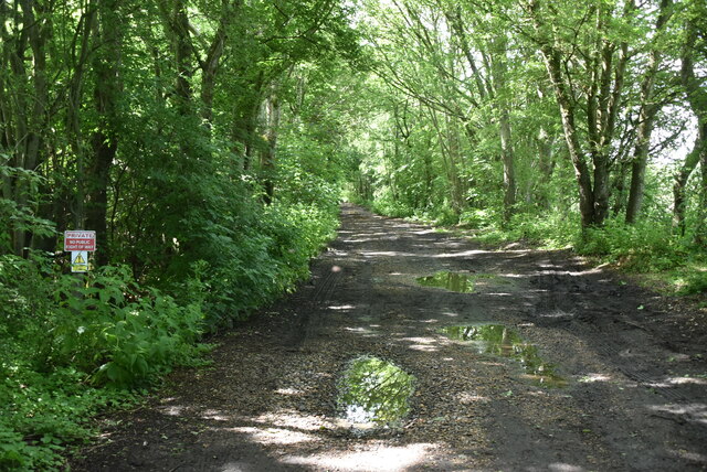
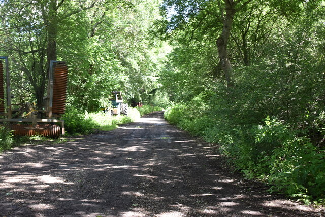
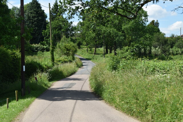
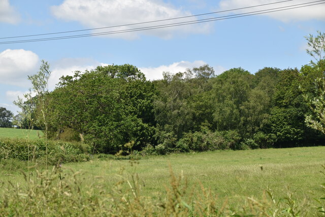
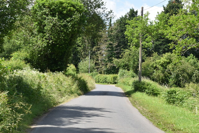
Buckham Hill Images

Images are sourced within 2km of 50.968073/0.066013547 or Grid Reference TQ4520. Thanks to Geograph Open Source API. All images are credited.

Horsted Pond Cottage
Pond, College Farm
Pond, College Farm
Horsted Pond Lane
Horsted Pond Lane
Owlsbury Poultry Farm
Owlsbury Cottages
Owlsbury Cottages
Cattle grazing
Cattle grazing
Owlsbury Cottages
Owlsbury Cottages
Owlsbury Wood
Owlsbury Wood
Owlsbury Wood
Owlsbury Wood
Footpath across field
Dismantled railway line The Wealden line ran from Tunbridge Wells to Lewes via Uckfield. The line was built in between 1846 & 1858. Most of the line has now closed to regular services. Lewes to Uckfield closed in 1969, Tunbridge Wells to Eridge closed in 1985. Eidge to Uckfield remains open as part of the Oxted line <a title="https://www.geograph.org.uk/snippet/4332" href="https://www.geograph.org.uk/snippet/4332">Link</a> . The Spa Valley Railway has re-opened the section between Tunbridge Wells West and Groombridge as a preservation line. Isfield station has been re-opened as the Lavender line.
Wikipedia: <span class="nowrap"><a title="http://en.wikipedia.org/wiki/Wealden_Line" rel="nofollow ugc noopener" href="http://en.wikipedia.org/wiki/Wealden_Line">Link</a><img style="margin-left:2px;" alt="External link" title="External link - shift click to open in new window" src="https://s1.geograph.org.uk/img/external.png" width="10" height="10"/></span>
Dismantled railway line
The Wealden line ran from Tunbridge Wells to Lewes via Uckfield. The line was built in between 1846 & 1858. Most of the line has now closed to regular services. Lewes to Uckfield closed in 1969, Tunbridge Wells to Eridge closed in 1985. Eidge to Uckfield remains open as part of the Oxted line Link . The Spa Valley Railway has re-opened the section between Tunbridge Wells West and Groombridge as a preservation line. Isfield station has been re-opened as the Lavender line. Wikipedia: LinkExternal link
Owlsbury Farm
Owlsbury Farm
Dismantled railway line The Wealden line ran from Tunbridge Wells to Lewes via Uckfield. The line was built in between 1846 & 1858. Most of the line has now closed to regular services. Lewes to Uckfield closed in 1969, Tunbridge Wells to Eridge closed in 1985. Eidge to Uckfield remains open as part of the Oxted line <a title="https://www.geograph.org.uk/snippet/4332" href="https://www.geograph.org.uk/snippet/4332">Link</a> . The Spa Valley Railway has re-opened the section between Tunbridge Wells West and Groombridge as a preservation line. Isfield station has been re-opened as the Lavender line.
Wikipedia: <span class="nowrap"><a title="http://en.wikipedia.org/wiki/Wealden_Line" rel="nofollow ugc noopener" href="http://en.wikipedia.org/wiki/Wealden_Line">Link</a><img style="margin-left:2px;" alt="External link" title="External link - shift click to open in new window" src="https://s1.geograph.org.uk/img/external.png" width="10" height="10"/></span>
Dismantled railway line
The Wealden line ran from Tunbridge Wells to Lewes via Uckfield. The line was built in between 1846 & 1858. Most of the line has now closed to regular services. Lewes to Uckfield closed in 1969, Tunbridge Wells to Eridge closed in 1985. Eidge to Uckfield remains open as part of the Oxted line Link . The Spa Valley Railway has re-opened the section between Tunbridge Wells West and Groombridge as a preservation line. Isfield station has been re-opened as the Lavender line. Wikipedia: LinkExternal link
Sharpbridge Lane
Sharpbridge Lane
Woodland
Woodland
Sharpbridge Lane
Sharpbridge Lane
Large maize field
Large maize field
Show me another place!

Buckham Hill is located at Grid Ref: TQ4520 (Lat: 50.968073, Lng: 0.066013547)

Administrative County: East Sussex

District: Wealden

Police Authority: Sussex

What 3 Words

///node.smirks.warbler. Near Uckfield, East Sussex

Related Wikis

West Park, Uckfield

West Park is a 10.5-hectare (26-acre) Local Nature Reserve on the western outskirts of Uckfield in East Sussex. It is owned and managed by Uckfield Town...

Piltdown

Piltdown is a series of hamlets in East Sussex, England, located south of Ashdown Forest. It is best known for the Piltdown Man hoax where amateur archaeologist...

Uckfield Town F.C.

Uckfield Town F.C. was a football club based in Uckfield, East Sussex, England. For their final season, 2013–14, they were members of the Sussex County...

Uckfield railway station

Uckfield railway station is the southern terminus of a branch of the Oxted Line in England, serving the town of Uckfield, East Sussex. It is 46 miles 8...

Nearby Amenities

Located within 500m of 50.968073,0.066013547
Post Box
Post Box Type: lamp
Ref: TN22 85
Royal Cypher: EIIR
Royal Cypher Wikidata: Q33102113
Lat/Long: 50.968398/0.0661324
Hippocrene Farm
Place: farm
Source Name: OS_OpenData_Streetview
Lat/Long: 50.9667238/0.059265
Horse & Barge Farm
Place: farm
Lat/Long: 50.9711857/0.0640332
Buckham Hill
Place: hamlet
Source: OS OpenData StreetView
Lat/Long: 50.966146/0.0666026
Barrier: stile
Lat/Long: 50.9642542/0.0695309
Addr Housename: 2 Crows Nest
Addr Street: Buckham Hill
Lat/Long: 50.9647181/0.0646446
Barrier: stile
Lat/Long: 50.9654131/0.0654968
Barrier: stile
Lat/Long: 50.9653865/0.0641947
Addr Housename: The Oast
Building: yes
Lat/Long: 50.968348/0.0670513
Addr Housename: Maple Barn
Building: yes
Lat/Long: 50.9686896/0.0673754
Wealden Walks
Information: guidepost
Tourism: information
Lat/Long: 50.965427/0.0654856
Addr Housename: The Granary
Building: yes
Lat/Long: 50.9685888/0.0668866
Addr Housename: One Crowsnest Cottage
Lat/Long: 50.9645853/0.0645488
Addr Housename: Beeches Farmhouse
Building: yes
Wikidata: Q26279291
Lat/Long: 50.968198/0.0671387
Operator: The Caravan And Caravanning Club
Tourism: caravan_site
Lat/Long: 50.9693474/0.0691807
Addr Housename: Pond Cottage
Building: house
Lat/Long: 50.9650807/0.0654731
Barrier: stile
Lat/Long: 50.9648298/0.0681296
Generator Method: photovoltaic
Generator Orientation: 170
Generator Output Electricity: yes
Generator Solar Modules: 16
Generator Source: solar
Generator Type: solar_photovoltaic_panel
Location: roof
Power: generator
Lat/Long: 50.9689527/0.0678867
Barrier: stile
Lat/Long: 50.965419/0.0638486
Barrier: stile
Stile: stepover
Lat/Long: 50.9722118/0.0652286
Darvel Wood
Natural: wood
Lat/Long: 50.9693659/0.0628258
Pierpoint's
Natural: wood
Lat/Long: 50.9710347/0.0676215
The data included in this document is from www.openstreetmap.org. The data is made available under ODbL.

Have you been to Buckham Hill?

Leave your review of Buckham Hill below (or comments, questions and feedback).