Buckcastle Hill

Settlement in Herefordshire

England

Buckcastle Hill

House in Buckcastle Hill, Bridstow Rural Herefordshire west of Ross-on-Wye.
House in Buckcastle Hill, Bridstow Credit: Jaggery

The requested URL returned error: 429 Too Many Requests

If you have any feedback on the listing, please let us know in the comments section below.

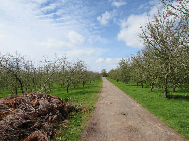
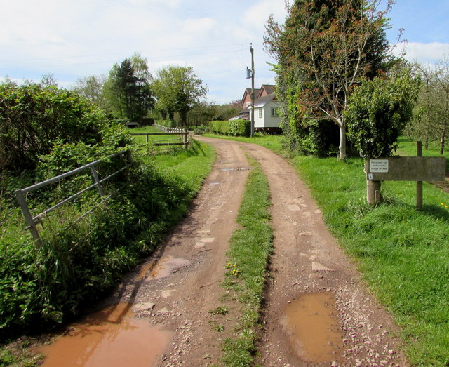
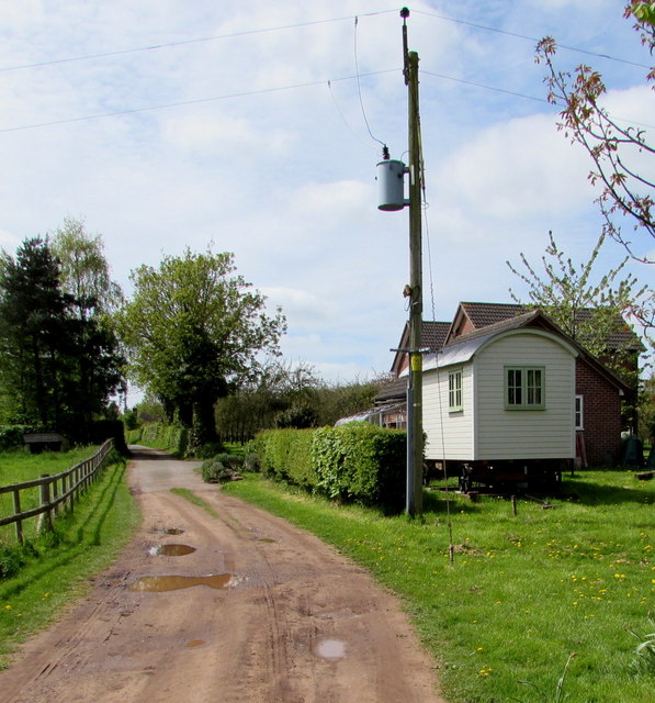
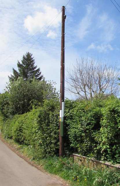
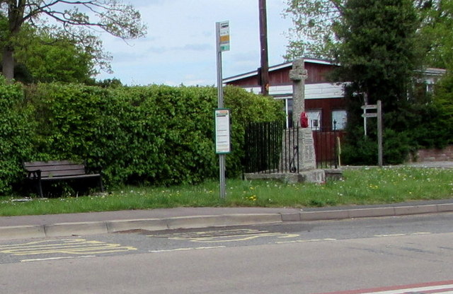
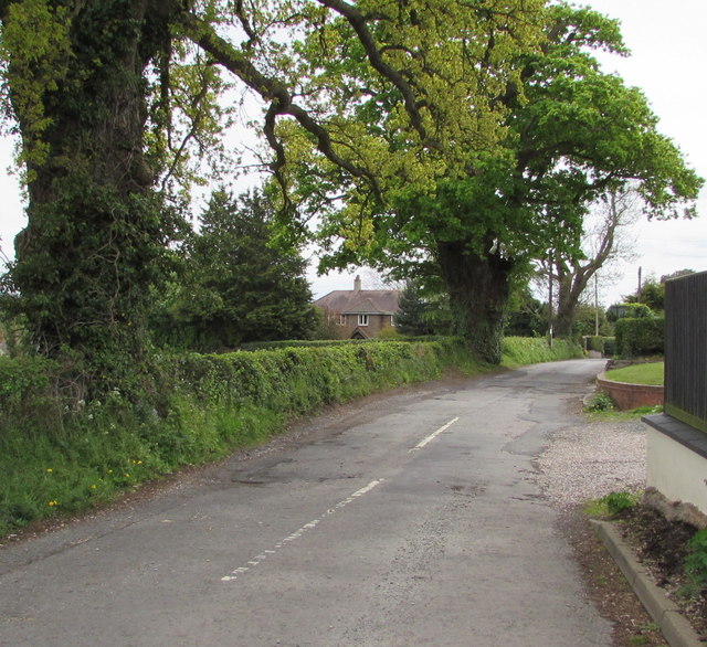
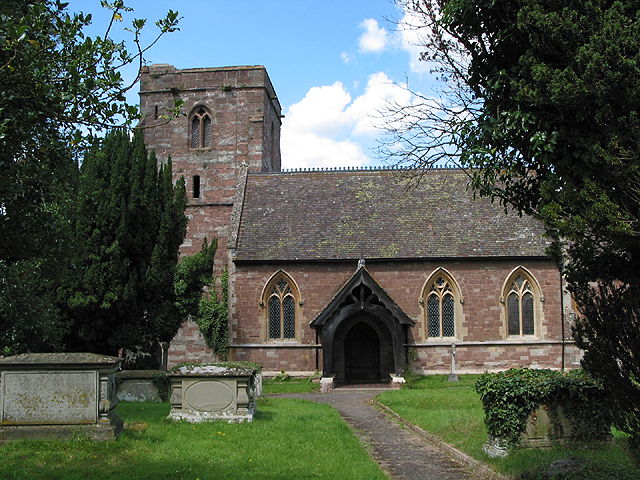
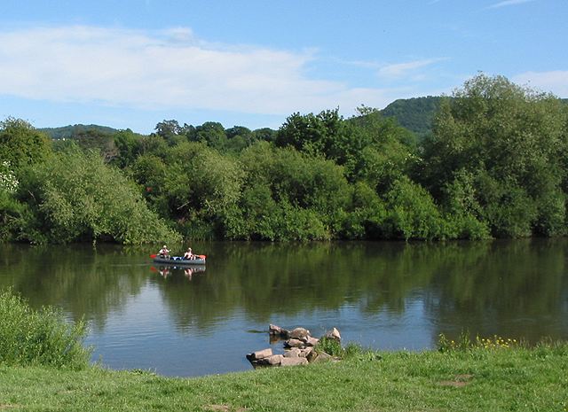
Buckcastle Hill Images

Images are sourced within 2km of 51.920368/-2.6145607 or Grid Reference SO5724. Thanks to Geograph Open Source API. All images are credited.

House in Buckcastle Hill, Bridstow Rural Herefordshire west of Ross-on-Wye.
House in Buckcastle Hill, Bridstow
Rural Herefordshire west of Ross-on-Wye.
This way for Broome Farm near Peterstow The black arrow on a sign points towards Broome Farm B&B, cream teas and cider.
The black-edged orange sign shows that this is a Neighbourhood Watch area.
This way for Broome Farm near Peterstow
The black arrow on a sign points towards Broome Farm B&B, cream teas and cider. The black-edged orange sign shows that this is a Neighbourhood Watch area.
Oak near Broome Farm, Peterstow Rural Herefordshire west of Ross-on-Wye.
Oak near Broome Farm, Peterstow
Rural Herefordshire west of Ross-on-Wye.
Basic facility alongside the Peterstow-Bridstow Loop Earth closet toilet on a part of the Peterstow-Bridstow 
Loop walk, here through Herefordshire cider orchards.
Basic facility alongside the Peterstow-Bridstow Loop
Earth closet toilet on a part of the Peterstow-Bridstow Loop walk, here through Herefordshire cider orchards.
Path through cider orchards, Peterstow Part of the Peterstow-Bridstow Loop walk.
Path through cider orchards, Peterstow
Part of the Peterstow-Bridstow Loop walk.
Track towards The New Road, Peterstow This is part of the Peterstow-Bridstow Loop walk, here towards The New Road which leads to the A49. 
Out of shot 100 metres to the right is Old Lane.
Track towards The New Road, Peterstow
This is part of the Peterstow-Bridstow Loop walk, here towards The New Road which leads to the A49. Out of shot 100 metres to the right is Old Lane.
The New Road, Peterstow Part of the Peterstow-Bridstow Loop walk, here along The New Road which leads to the A49 in Peterstow.
The New Road, Peterstow
Part of the Peterstow-Bridstow Loop walk, here along The New Road which leads to the A49 in Peterstow.
Overhead fibre drop, Peterstow A small BT label on the New Road pole shows CAUTION OVERHEAD FIBRE DROP 
which indicates that this rural area has (or is about to have) access
to BT's fibre optic broadband service, unlike many other rural parts
of the UK where in 2015 there is no such access.
Overhead fibre drop, Peterstow
A small BT label on the New Road pole shows CAUTION OVERHEAD FIBRE DROP which indicates that this rural area has (or is about to have) access to BT's fibre optic broadband service, unlike many other rural parts of the UK where in 2015 there is no such access.
From 50 to 40 on the A49 near Bridstow The 50mph speed limit on the road from Peterstow drops to 40mph 
on the approach to Bridstow in rural Herefordshire near Ross-on-Wye.
From 50 to 40 on the A49 near Bridstow
The 50mph speed limit on the road from Peterstow drops to 40mph on the approach to Bridstow in rural Herefordshire near Ross-on-Wye.
From 40 to 50 on the A49 towards Peterstow The 40mph speed limit on the road from Bridstow increases 
to 50mph towards Peterstow in rural Herefordshire near Ross-on-Wye.
From 40 to 50 on the A49 towards Peterstow
The 40mph speed limit on the road from Bridstow increases to 50mph towards Peterstow in rural Herefordshire near Ross-on-Wye.
Junction of the A49 and a minor road, Bridstow The minor road to Sellack, Hoarwithy, Kings Caple and Little Dewchurch descends from the A49.
Junction of the A49 and a minor road, Bridstow
The minor road to Sellack, Hoarwithy, Kings Caple and Little Dewchurch descends from the A49.
Bridstow bus shelter On the north side of the A49 in rural Herefordshire near Ross-on-Wye.
Bridstow bus shelter
On the north side of the A49 in rural Herefordshire near Ross-on-Wye.
Minor road junction ahead, Bridstow Ahead on the A49 for Hereford or turn right for Sellack, Hoarwithy, Kings Caple and Little Dewchurch.
Minor road junction ahead, Bridstow
Ahead on the A49 for Hereford or turn right for Sellack, Hoarwithy, Kings Caple and Little Dewchurch.
Warning - school and minor road junctions ahead, Bridstow On the north side of the A49 on the western approach to Bridstow School.
Warning - school and minor road junctions ahead, Bridstow
On the north side of the A49 on the western approach to Bridstow School.
Direction sign, Bridstow Stay on the A49 for Ross-on-Wye, historic market town, or turn left ahead for Backney Bridge (2 miles).
Direction sign, Bridstow
Stay on the A49 for Ross-on-Wye, historic market town, or turn left ahead for Backney Bridge (2 miles).
Bridstow School bus stop and shelter Alongside the A49. Bridstow School <a title="https://www.geograph.org.uk/photo/4460590" href="https://www.geograph.org.uk/photo/4460590">Link</a> is about 100 metres away, alongside the minor road on the left.
Bridstow School bus stop and shelter
Alongside the A49. Bridstow School Link is about 100 metres away, alongside the minor road on the left.
War Memorial bus stop, Bridstow Viewed across the A49 looking towards the War Memorial. <a title="https://www.geograph.org.uk/photo/4460109" href="https://www.geograph.org.uk/photo/4460109">Link</a>
War Memorial bus stop, Bridstow
Viewed across the A49 looking towards the War Memorial. Link
Bannuttree Lane trees, Bridstow Viewed from the corner of the A49. Bridstow is a village in Herefordshire near Ross-on-Wye.
Bannuttree Lane trees, Bridstow
Viewed from the corner of the A49. Bridstow is a village in Herefordshire near Ross-on-Wye.
Show me another place!

Buckcastle Hill is located at Grid Ref: SO5724 (Lat: 51.920368, Lng: -2.6145607)

Unitary Authority: County of Herefordshire

Police Authority: West Merica

What 3 Words

///remake.shuttling.reject. Near Ross on Wye, Herefordshire

Nearby Locations

Buckcastle Hill

Related Wikis

Bridstow

Bridstow is a village and civil parish in Herefordshire, England, 2 km (1.2 miles) west of Ross-on-Wye and 17 km (10.6 miles) south-east of Hereford. The...

Wilton, Herefordshire

Wilton is a village in south Herefordshire, England just under a mile west of the market town of Ross-on-Wye. In 1100, Henry I set up three royal manors...
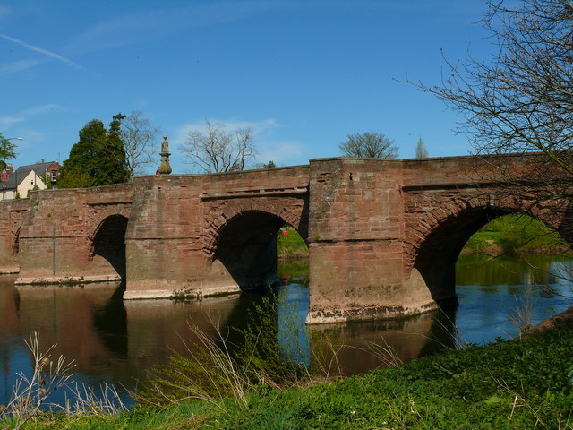
Wilton Bridge

Wilton Bridge is a Grade I listed bridge crossing the River Wye between Wilton, Herefordshire and Ross-on-Wye, Herefordshire, England. == History == The...

Wilton Castle

Wilton Castle is a 12th-century Norman castle located in south-eastern Herefordshire, England on the River Wye adjacent to the town of Ross-on-Wye. The...

Nearby Amenities

Located within 500m of 51.920368,-2.6145607
Bus Stop
Green Gates
Naptan AtcoCode: 2090A18456
Naptan Bearing: NW
Naptan CommonName: Green Gates
Naptan Indicator: o/s Green Gates Council Houses
Naptan Landmark: Pool Mill
Naptan NaptanCode: heragtdj
Naptan Street: Hoarwithy Road
Naptan Verified: no
Source: naptan_import
Lat/Long: 51.9220455/-2.616971
Bus Stop
Green Gates
Naptan AtcoCode: 2090A18458
Naptan Bearing: SE
Naptan BusStopType: CUS
Naptan CommonName: Green Gates
Naptan Indicator: opp bus stop pole
Naptan Landmark: Pool Mill
Naptan NaptanCode: heragtdm
Naptan Street: Ross Road
Naptan Verified: no
Source: naptan_import
Lat/Long: 51.9220667/-2.6168568
Bus Stop
Whitecross Cottages
Naptan AtcoCode: 2090A20010
Naptan Bearing: E
Naptan CommonName: Whitecross Cottages
Naptan Indicator: adj
Naptan Landmark: Row of cottages
Naptan NaptanCode: heramtwp
Naptan Street: A49
Naptan Verified: no
Source: naptan_import
Lat/Long: 51.9172033/-2.6178407
Bus Stop
Whitecross Cottages
Naptan AtcoCode: 2090A20012
Naptan Bearing: W
Naptan CommonName: Whitecross Cottages
Naptan Indicator: opp
Naptan Landmark: row of cottages
Naptan NaptanCode: heramtwt
Naptan Street: A49
Naptan Verified: no
Source: naptan_import
Lat/Long: 51.9171301/-2.617561
Bus Stop
Telephone Box
Naptan AtcoCode: 2090A20014
Naptan Bearing: S
Naptan CommonName: Telephone Box
Naptan Indicator: opp
Naptan Landmark: Telephone Box
Naptan NaptanCode: heramwad
Naptan Street: N/K
Naptan Verified: no
Source: naptan_import
Lat/Long: 51.9193851/-2.6121231
Bus Stop
Telephone Box
Naptan AtcoCode: 2090A20016
Naptan Bearing: N
Naptan BusStopType: CUS
Naptan CommonName: Telephone Box
Naptan Indicator: adj
Naptan Landmark: Telephone Box
Naptan NaptanCode: heramwag
Naptan Street: N/K
Naptan Verified: no
Source: naptan_import
Lat/Long: 51.9192528/-2.6121726
Barrier: kissing_gate
Source: survey
Lat/Long: 51.9193335/-2.6119486
Power: pole
Lat/Long: 51.9188765/-2.6085046
Power: pole
Lat/Long: 51.9193778/-2.6095077
Power: pole
Source: survey
Transformer: distribution
Voltage Primary: 11000
Lat/Long: 51.9197864/-2.6103084
Man Made: street_cabinet
Source: survey
Street Cabinet: telecom
Lat/Long: 51.9192843/-2.6122449
Man Made: street_cabinet
Source: survey
Street Cabinet: telecom
Lat/Long: 51.9192744/-2.6122154
Post Box
Ref: HR9 562
Royal Cypher: EIIR
Royal Cypher Wikidata: Q33102113
Lat/Long: 51.9193009/-2.6122503
Information: board
Source: survey
Tourism: information
Lat/Long: 51.91942/-2.6121376
Fire Hydrant
Emergency: fire_hydrant
Fire Hydrant Type: underground
Source: survey
Lat/Long: 51.920152/-2.6127713
Fire Hydrant
Emergency: fire_hydrant
Fire Hydrant Type: underground
Source: survey
Lat/Long: 51.9202744/-2.6167122
Poolmill Bridge
Power: pole
Transformer: distribution
Voltage Primary: 11000
Lat/Long: 51.9189447/-2.6115388
Power: pole
Lat/Long: 51.9202276/-2.6106496
Power: pole
Lat/Long: 51.9188132/-2.6119572
Bridstow Vicarage
Power: pole
Transformer: distribution
Voltage Primary: 11000
Lat/Long: 51.9184484/-2.6131025
Moore Court Farm Bridstow
Power: pole
Transformer: distribution
Voltage Primary: 11000
Lat/Long: 51.9207868/-2.6172922
Power: pole
Lat/Long: 51.9215904/-2.6185763
Power: pole
Lat/Long: 51.9220188/-2.6191543
Oaklands
Power: pole
Transformer: distribution
Voltage Primary: 11000
Lat/Long: 51.9226933/-2.6168168
Power: pole
Lat/Long: 51.9225531/-2.6172486
Power: pole
Lat/Long: 51.9225097/-2.6175269
Power: pole
Lat/Long: 51.9224456/-2.6178957
Power: pole
Lat/Long: 51.9223683/-2.6186427
Power: pole
Lat/Long: 51.9224208/-2.6196814
Woodlands Ross
Power: pole
Transformer: distribution
Voltage Primary: 11000
Lat/Long: 51.9225209/-2.6196599
Power: pole
Lat/Long: 51.9230304/-2.6195486
Power: pole
Lat/Long: 51.9236225/-2.6193917
Cotterells
Power: pole
Transformer: distribution
Voltage Primary: 11000
Lat/Long: 51.9245848/-2.6167946
Power: pole
Lat/Long: 51.924359/-2.6155917
Power: pole
Lat/Long: 51.9241407/-2.6144705
Power: pole
Lat/Long: 51.9242358/-2.6131736
Power: pole
Lat/Long: 51.9237036/-2.6130241
Power: pole
Lat/Long: 51.9232214/-2.6128954
Hill Top
Power: pole
Transformer: distribution
Voltage Primary: 11000
Lat/Long: 51.9223331/-2.6085448
Power: pole
Lat/Long: 51.9228856/-2.6088848
Power: pole
Lat/Long: 51.9222901/-2.6095098
Claytons
Power: pole
Transformer: distribution
Voltage Primary: 11000
Lat/Long: 51.922281/-2.6098645
Power: pole
Lat/Long: 51.9222446/-2.6106624
Power: pole
Lat/Long: 51.9222148/-2.6114872
Power: pole
Lat/Long: 51.9223571/-2.6122396
Poolmill North
Power: pole
Transformer: distribution
Voltage Primary: 11000
Lat/Long: 51.9217045/-2.6117541
Power: pole
Lat/Long: 51.921073/-2.6112807
Poolmill
Power: pole
Transformer: distribution
Voltage Primary: 11000
Lat/Long: 51.9204953/-2.6108502
Power: pole
Lat/Long: 51.9195623/-2.6111117
White Cross Farm
Power: pole
Transformer: distribution
Voltage Primary: 11000
Lat/Long: 51.916419/-2.6153134
The data included in this document is from www.openstreetmap.org. The data is made available under ODbL.

Have you been to Buckcastle Hill?

Leave your review of Buckcastle Hill below (or comments, questions and feedback).