Broomhill

Settlement in Somerset South Somerset

England

Broomhill

St. Michael's, Seavington St. Michael, Somerset Dating from the late 12th Century, alterations and additions were made in both the 15th and 19th Centuries.
St. Michael's, Seavington St. Michael, Somerset Credit: Ray Jennings

Broomhill is a small village located in the county of Somerset, England. Situated approximately 6 miles southwest of the bustling town of Taunton, Broomhill is nestled amidst the picturesque countryside of the Somerset Levels.

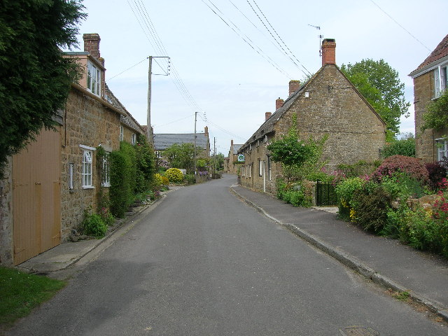
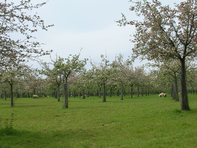
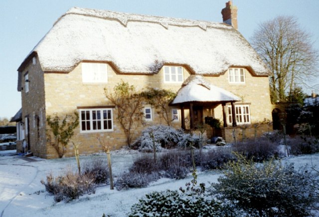
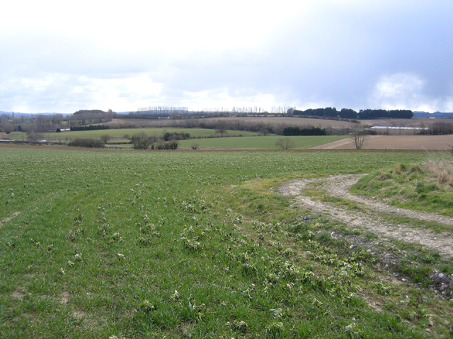
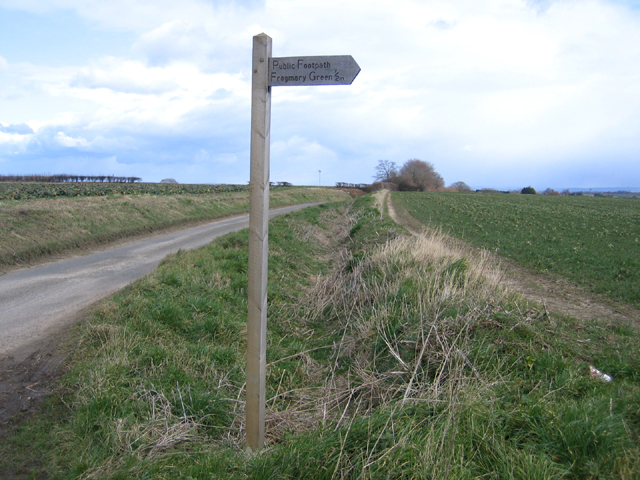
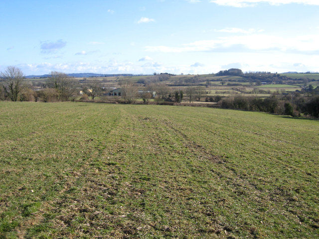
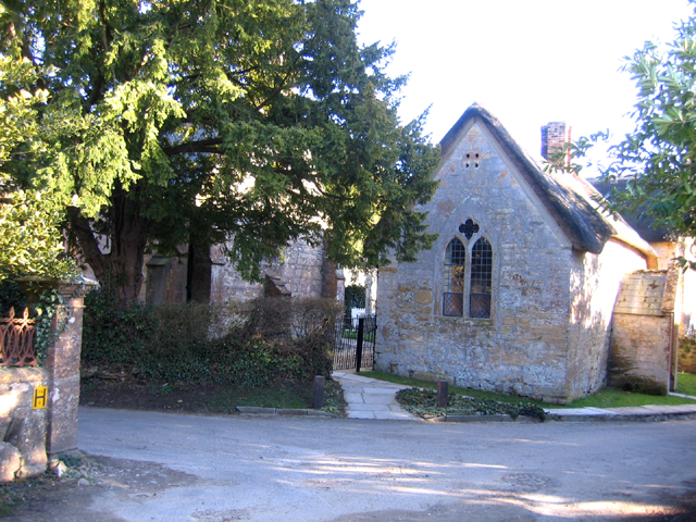
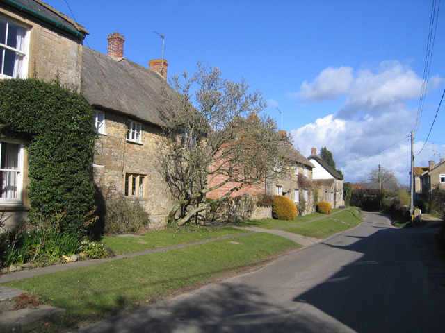
With a population of around 500 residents, Broomhill exudes a quaint and peaceful atmosphere. The village is characterized by its charming thatched-roof cottages, traditional stone buildings, and well-manicured gardens. The surrounding landscape showcases rolling hills, green meadows, and serene waterways, providing a scenic backdrop for outdoor activities and leisurely walks.

Broomhill benefits from a close-knit community spirit, with various social events and gatherings organized throughout the year. The village hosts an annual summer fete, attracting both locals and visitors alike. Additionally, a local pub serves as a popular meeting point, offering a warm and friendly atmosphere for residents to socialize.

While Broomhill may be small in size, it boasts excellent transport links. The nearby A358 road connects the village to Taunton and the wider Somerset region. This accessibility allows residents to easily access amenities and services, such as schools, shops, and healthcare facilities.

In conclusion, Broomhill is a charming village in Somerset, offering a tranquil and idyllic setting for its residents. With its picturesque surroundings, strong community spirit, and convenient transport links, Broomhill is an appealing place to call home for those seeking a peaceful rural lifestyle.

If you have any feedback on the listing, please let us know in the comments section below.
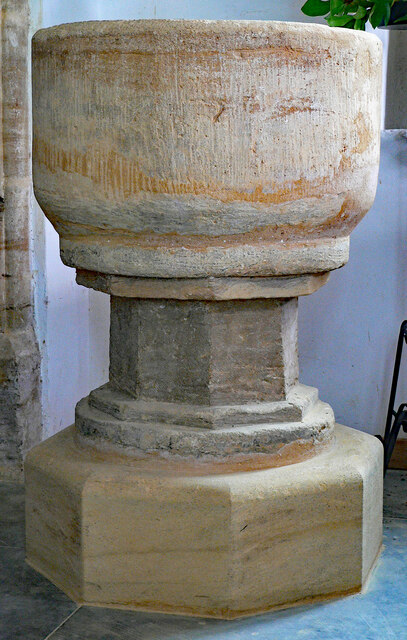
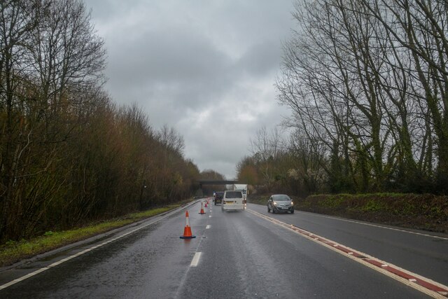
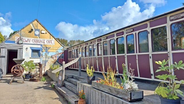
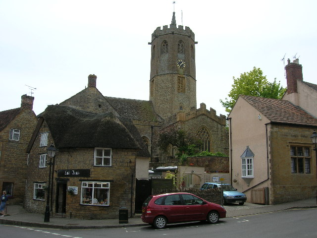
Broomhill Images

Images are sourced within 2km of 50.930685/-2.8187529 or Grid Reference ST4214. Thanks to Geograph Open Source API. All images are credited.

St. Michael's, Seavington St. Michael, Somerset Dating from the late 12th Century, alterations and additions were made in both the 15th and 19th Centuries.
St. Michael's, Seavington St. Michael, Somerset
Dating from the late 12th Century, alterations and additions were made in both the 15th and 19th Centuries.
St. Michael's, Seavington St. Michael, Somerset South-East corner.
St. Michael's, Seavington St. Michael, Somerset
South-East corner.
St. Michael's, Seavington St. Michael, Somerset The Nave.
St. Michael's, Seavington St. Michael, Somerset
The Nave.
St. Michael's, Seavington St. Michael, Somerset The Nave - taken from the 19th Century Gallery.
St. Michael's, Seavington St. Michael, Somerset
The Nave - taken from the 19th Century Gallery.
St. Michael's, Seavington St. Michael, Somerset The Font - 12th or 13th Century.
St. Michael's, Seavington St. Michael, Somerset
The Font - 12th or 13th Century.
South Petherton : A303 Looking along the A303.
South Petherton : A303
Looking along the A303.
Pip's Railway Carriage Cafe
South Petherton The 15th century church of St Peter and St Paul in the large village of South Petherton. The octagonal tower shown is  one of the biggest in the country.
South Petherton
The 15th century church of St Peter and St Paul in the large village of South Petherton. The octagonal tower shown is one of the biggest in the country.
Over Stratton The small village of Over Stratton showing the Royal Oak pub on the right of the photo.
Over Stratton
The small village of Over Stratton showing the Royal Oak pub on the right of the photo.
Cider apple orchards at Over Stratton Somerset is still famous for its cider, although there are not as many apple orchards now.
Cider apple orchards at Over Stratton
Somerset is still famous for its cider, although there are not as many apple orchards now.
Fruit Orchard Orchard just outside of Over Stratton
Fruit Orchard
Orchard just outside of Over Stratton
Roman Mosaic at Lopen Detail from a 4th C Roman mosaic found at Mill House Lopen in 2001. Full details can be found at <span class="nowrap"><a title="http://www.lopen.btck.co.uk/LopensRomanMosaic" rel="nofollow ugc noopener" href="http://www.lopen.btck.co.uk/LopensRomanMosaic">Link</a><img style="margin-left:2px;" alt="External link" title="External link - shift click to open in new window" src="https://s1.geograph.org.uk/img/external.png" width="10" height="10"/></span>
Roman Mosaic at Lopen
Detail from a 4th C Roman mosaic found at Mill House Lopen in 2001. Full details can be found at LinkExternal link
A Lopen house in winter Winter casts its magic on this house in Lopen Somerset
A Lopen house in winter
Winter casts its magic on this house in Lopen Somerset
View SE from Carey's Hollow, South Petherton, Somerset from the start of Smokeclose Lane public footpath in the right foreground.
View SE from Carey's Hollow, South Petherton, Somerset
from the start of Smokeclose Lane public footpath in the right foreground.
Carey's Hollow lane, South Petherton, Somerset with the footpath sign for Smokeclose Lane to Frogmary Green.
Carey's Hollow lane, South Petherton, Somerset
with the footpath sign for Smokeclose Lane to Frogmary Green.
Cottages, Church Street, Lopen, Somerset – view NE.
Cottages, Church Street, Lopen, Somerset
– view NE.
View SSE from above Lopen, Somerset – looking over Rydon Lane and the Lopen Brook valley.
View SSE from above Lopen, Somerset
– looking over Rydon Lane and the Lopen Brook valley.
Lopen All Saints' church, Somerset home of the reconstructed Roman Mosaic pavement <span class="nowrap"><a title="http://www.lopenmosaic.co.uk/index.cfm" rel="nofollow ugc noopener" href="http://www.lopenmosaic.co.uk/index.cfm">Link</a><img style="margin-left:2px;" alt="External link" title="External link - shift click to open in new window" src="https://s1.geograph.org.uk/img/external.png" width="10" height="10"/></span> .
Lopen All Saints' church, Somerset
home of the reconstructed Roman Mosaic pavement LinkExternal link .
Show me another place!

Broomhill is located at Grid Ref: ST4214 (Lat: 50.930685, Lng: -2.8187529)

Administrative County: Somerset

District: South Somerset

Police Authority: Avon and Somerset

What 3 Words

///bonfires.ballparks.shares. Near South Petherton, Somerset

Related Wikis

Lopen

Lopen is a village and civil parish in the South Somerset district of Somerset, England, situated 8 miles (12.9 km) west of Yeovil. The village has a population...

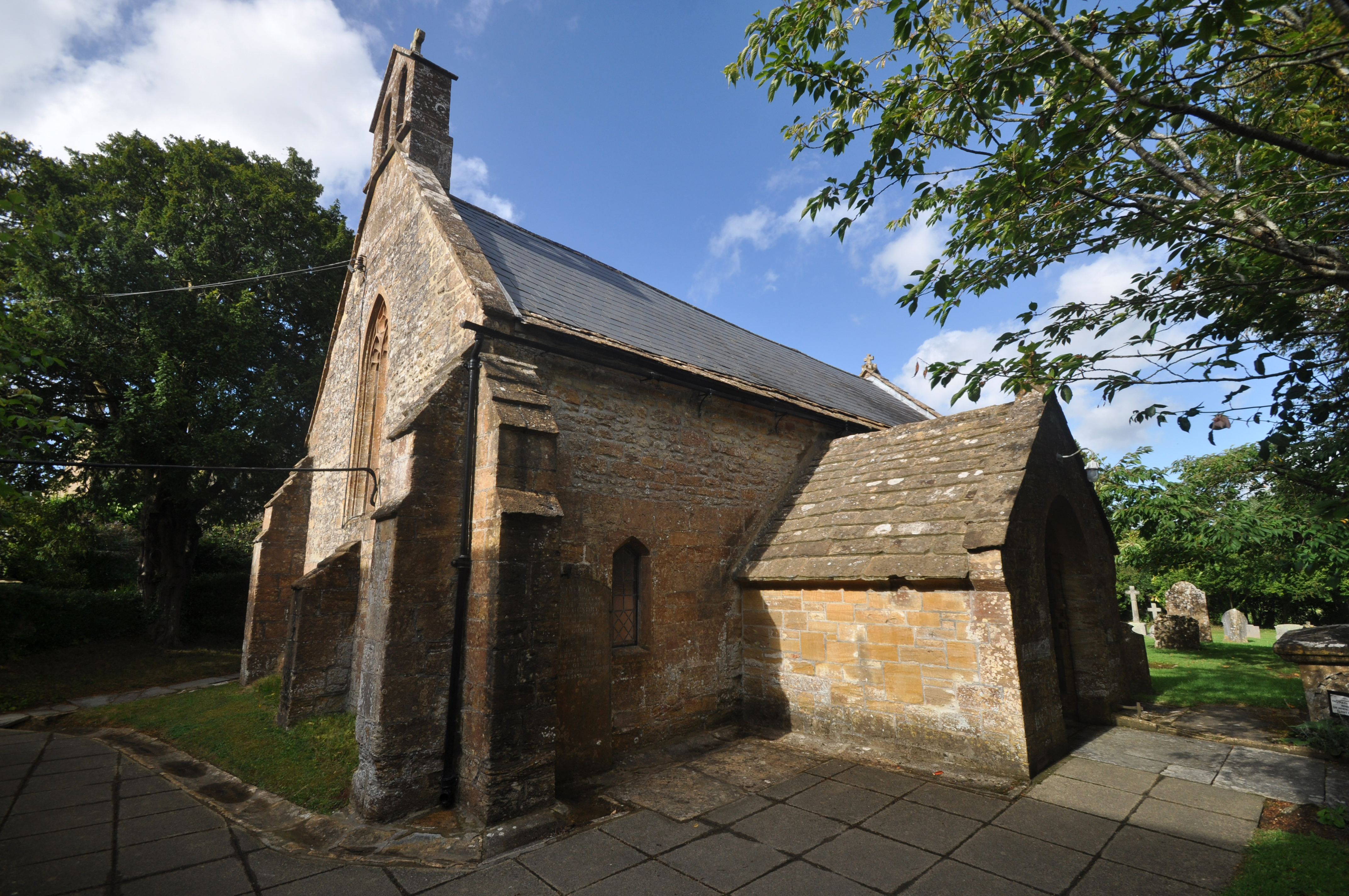
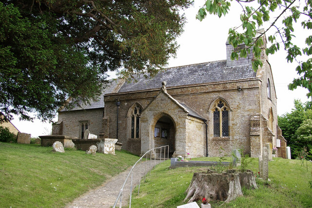
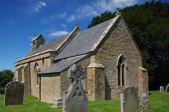
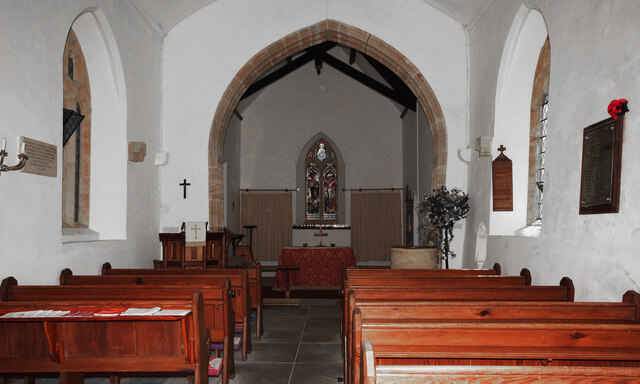
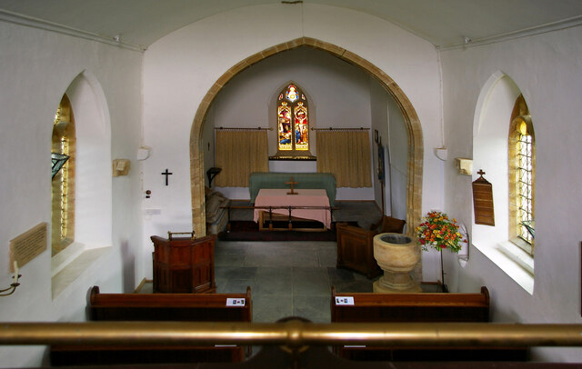
Church of All Saints, Lopen

The Anglican Church of All Saints in Lopen, Somerset, England was built in the 12th century. It is a Grade II* listed building. == History == The church...

Lopen Roman Mosaic

The Lopen Roman Mosaic is a Roman mosaic, probably from a Roman villa, in the village of Lopen, Somerset, England.It was discovered in 2001 by George Caton...

Over Stratton

Over Stratton is a small village in the district of South Somerset, Somerset, England. It is part of the parish of South Petherton along with the nearby...

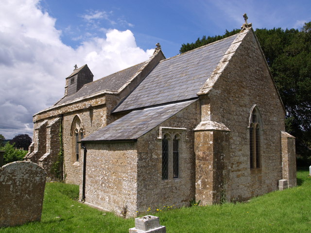
Church of St Michael, Seavington St Michael

The Anglican Church of St Michael in Seavington St Michael, Somerset, England was built in the 12th century. It is a Grade II* listed building. == History... ==

Seavington St Michael

Seavington St Michael is a village and civil parish in Somerset, England. It is situated next to the village of Seavington St Mary, about 3 miles (4.8...

Church of St Peter and St Paul, South Petherton

The Church of St Peter and St Paul is the Church of England parish church for the village of South Petherton, Somerset, England. The present church is...

South Petherton

South Petherton is a large village and civil parish in the South Somerset district of Somerset, England, located 5 miles (8 km) east of Ilminster and 5...

Nearby Amenities

Located within 500m of 50.930685,-2.8187529
Broomhill
Place: locality
Lat/Long: 50.9306438/-2.8186633
Lopen Head
Place: hamlet
Lat/Long: 50.9316879/-2.8239443
Sanitary Dump Station
Lat/Long: 50.934358/-2.8158998
Toilets
Access: customers
Female: yes
Male: yes
Lat/Long: 50.9343121/-2.8159075
Waste Basket
Lat/Long: 50.9340139/-2.8157977
Waste Basket
Lat/Long: 50.9343624/-2.815943
Waste Basket
Lat/Long: 50.9344035/-2.8158223
Tourism: camp_site
Lat/Long: 50.9342561/-2.8161071
Bus Stop
Lopen Head The Lopen Raj
Bus: yes
Naptan AtcoCode: 3600SOB20575
Naptan NaptanCode: sotatpjp
Public Transport: platform
Lat/Long: 50.9320656/-2.823082
Cafe
Pips
Lat/Long: 50.9331502/-2.8191632
The data included in this document is from www.openstreetmap.org. The data is made available under ODbL.

Have you been to Broomhill?

Leave your review of Broomhill below (or comments, questions and feedback).