Brookside

Settlement in Wiltshire

England

Brookside

Farm track near Trinity Farm
Farm track near Trinity Farm Credit: Vieve Forward

Brookside is a charming village located in the picturesque county of Wiltshire, England. Situated in the heart of the Salisbury Plain, this tranquil settlement is known for its idyllic countryside setting and close-knit community.

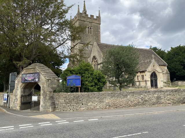
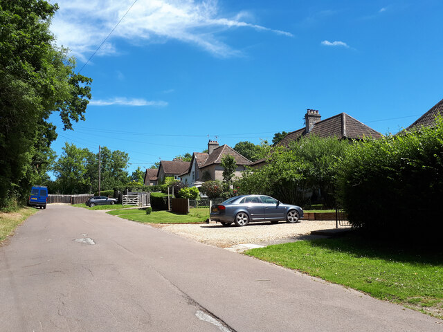
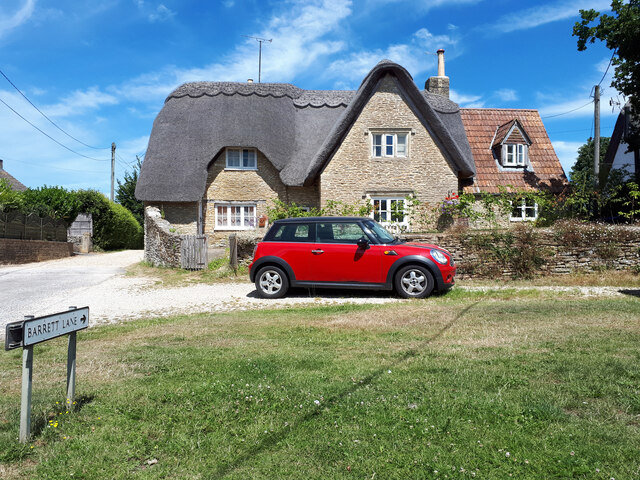
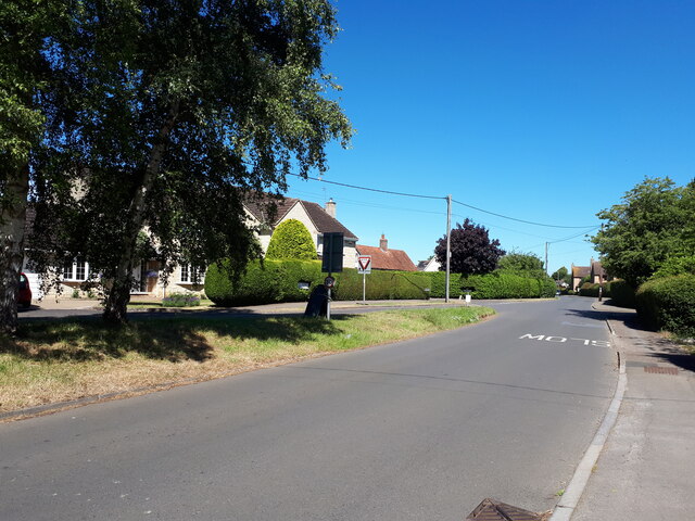
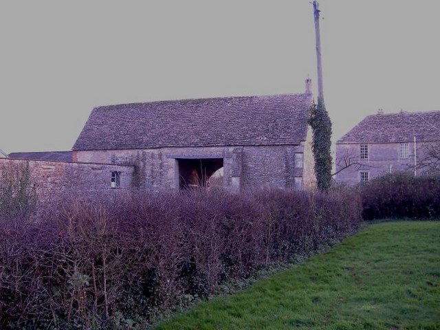
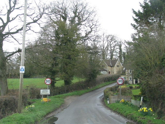
The village of Brookside is characterized by its traditional English architecture, with many of its buildings dating back several centuries. Its quaint thatched cottages and well-maintained gardens add to its unique charm and appeal. The village is small in size, with a population of approximately 500 residents, giving it a tight-knit community atmosphere where neighbors know each other by name.

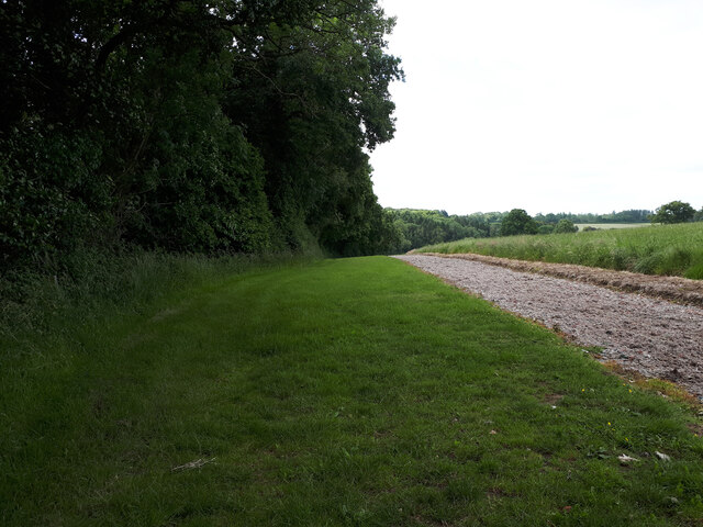
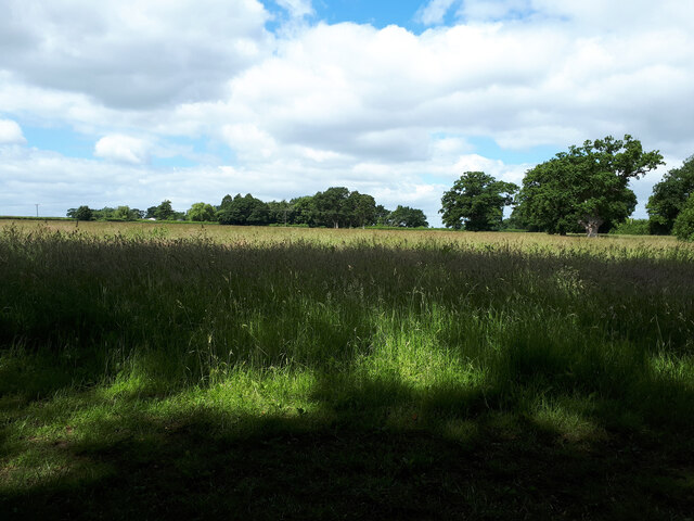
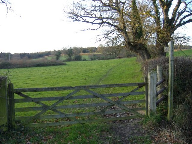
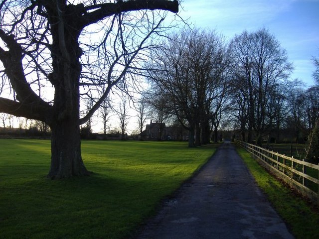
Nature enthusiasts will be delighted by the surrounding natural beauty that Brookside has to offer. Nestled amidst rolling hills and lush greenery, the village is an ideal destination for those seeking a peaceful retreat. The meandering brooks and streams that flow through the area provide picturesque spots for fishing and leisurely walks.

While Brookside maintains its rural charm, it is also conveniently located near larger towns and cities. The historic city of Salisbury is just a short drive away, offering a range of amenities including shopping centers, restaurants, and cultural attractions.

In summary, Brookside is a quaint and picturesque village in Wiltshire, England, known for its traditional architecture, stunning natural surroundings, and strong sense of community. It is a perfect destination for those seeking a peaceful and scenic retreat, while still having access to nearby urban amenities.

If you have any feedback on the listing, please let us know in the comments section below.
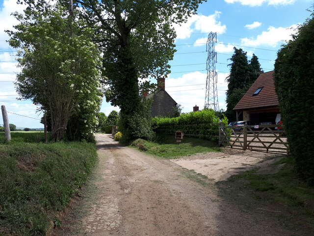
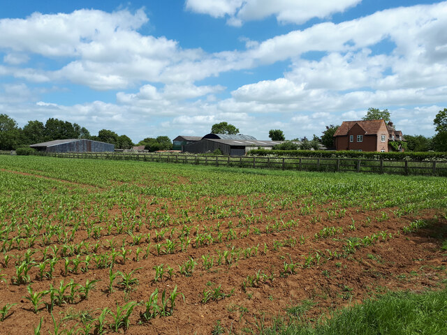
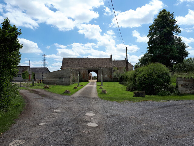
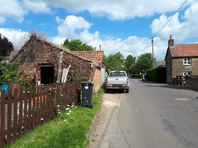
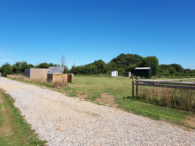
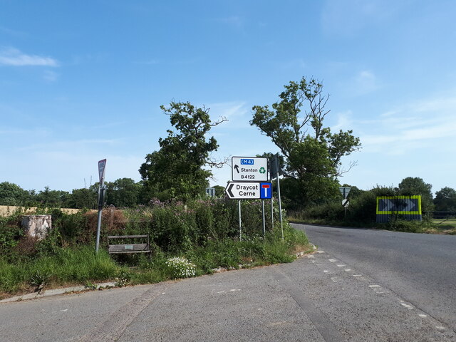
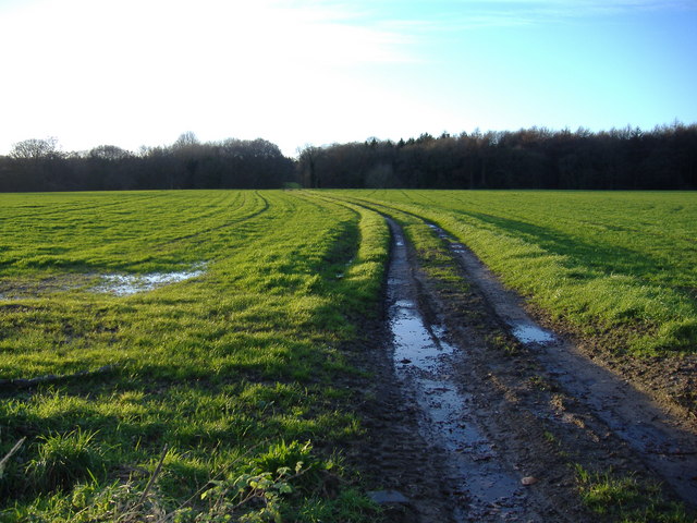
Brookside Images

Images are sourced within 2km of 51.514992/-2.0771218 or Grid Reference ST9479. Thanks to Geograph Open Source API. All images are credited.

Farm track near Trinity Farm
Lower Seagry Farm
Lower Seagry Farm
Entrance to Church Farm through the barn
Village street, Upper Seagry
Training gallops near Avil's Farm
Farmland near Avil's Farm
All Saints Church, Sutton Benger
New Houses, Malford Farm Court
Brookside, Sutton Benger
Thatched cottage and Mini, Barrett Lane
Caravans, Frampton Farm
The Green
The Green
Shepherd's hut near Dodford Lane
Road junction near Draycot Cerne
The track to Seagry Woods. The farm track leading to Seagry Woods, from Startley Road, across open arable land, after a heavy downpour.
The track to Seagry Woods.
The farm track leading to Seagry Woods, from Startley Road, across open arable land, after a heavy downpour.
The tithe barn at Lower Seagry. Ancient monument at farm entrance, seen from the churchyard at Lower Seagry.
The tithe barn at Lower Seagry.
Ancient monument at farm entrance, seen from the churchyard at Lower Seagry.
Footpath to Seagry Woods. Footpath leading through fields from the edge of Upper Seagry to Seagry Woods.
Footpath to Seagry Woods.
Footpath leading through fields from the edge of Upper Seagry to Seagry Woods.
The entrance to Seagry House, Upper Seagry. The entrance drive to Seagry House, with the village cricket pitch on the left.
The entrance to Seagry House, Upper Seagry.
The entrance drive to Seagry House, with the village cricket pitch on the left.
Show me another place!

Brookside is located at Grid Ref: ST9479 (Lat: 51.514992, Lng: -2.0771218)

Unitary Authority: Wiltshire

Police Authority: Wiltshire

What 3 Words

///fade.coveted.direction. Near Sutton Benger, Wiltshire

Nearby Locations

Brookside Draycot Park

Related Wikis

Nearby Amenities

Located within 500m of 51.514992,-2.0771218
Post Box
Collection Times: Mo-Fr 09:00; Sa 07:00
Collection Times Checked: 2015-11-04
Operator: Royal Mail
Post Box Type: lamp
Ref: SN15 291D
Royal Cypher: EIIR
Royal Cypher Wikidata: Q33102113
Lat/Long: 51.5139352/-2.0768996
Communication Mobile Phone: yes
Man Made: mast
Tower Type: communication
Lat/Long: 51.5158516/-2.0760157
The data included in this document is from www.openstreetmap.org. The data is made available under ODbL.

Have you been to Brookside?

Leave your review of Brookside below (or comments, questions and feedback).