Draycot Park
Downs, Moorland in Wiltshire
England
Draycot Park
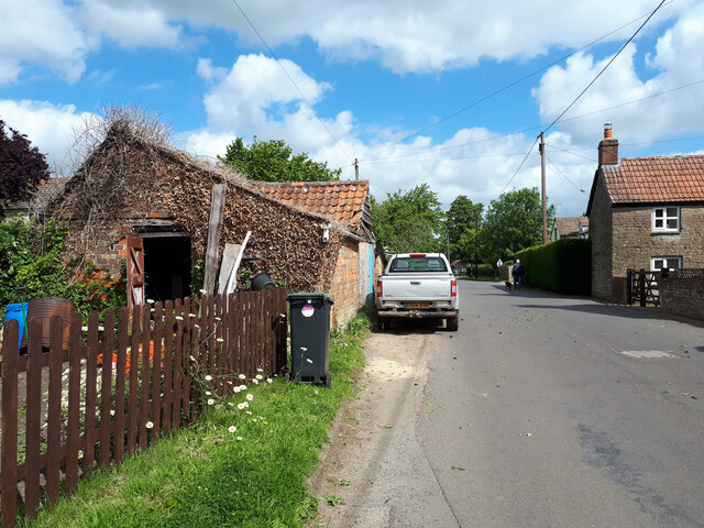
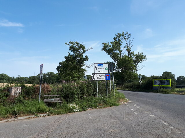
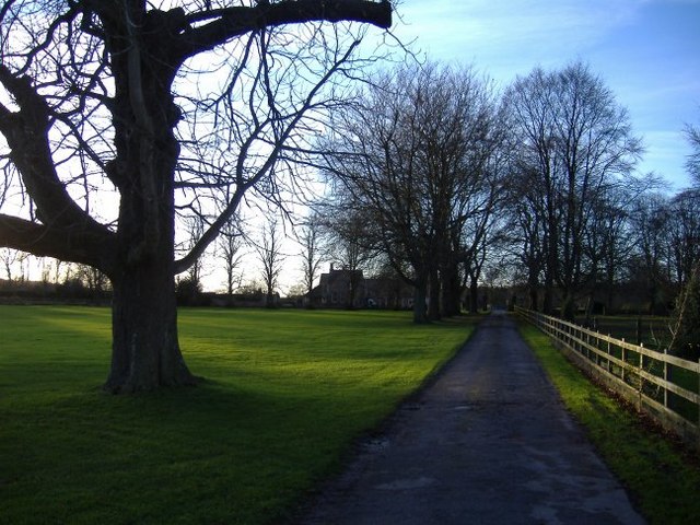
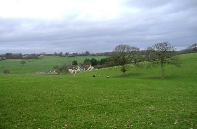
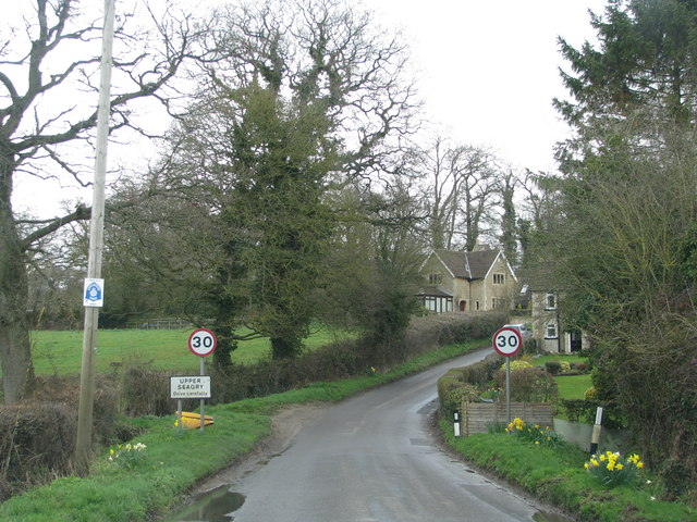
Draycot Park is a picturesque rural estate located in Wiltshire, England. Situated amidst the beautiful Downs and Moorland landscapes, the park spans over vast acres of lush greenery and rolling hills. It is renowned for its tranquil and idyllic setting, making it a popular destination for nature enthusiasts and outdoor activities.
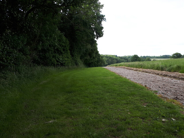
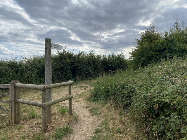
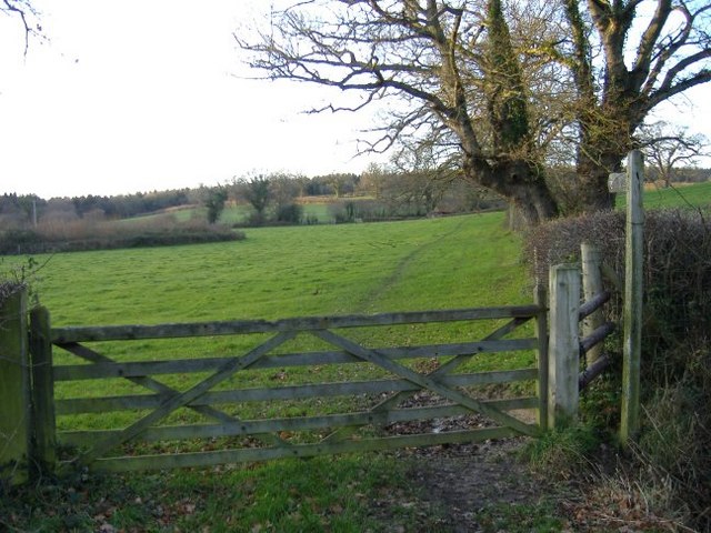
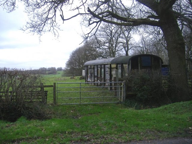
The park boasts a diverse range of flora and fauna, with various species of wildflowers, trees, and wildlife inhabiting the area. Visitors can explore the well-maintained walking trails that wind through the park, offering breathtaking views of the surrounding countryside. The park is also home to several small lakes and ponds, where visitors can enjoy fishing or simply relax by the water's edge.
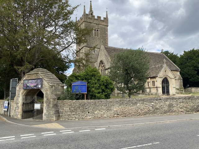
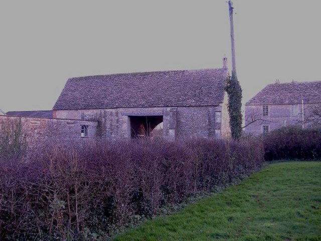
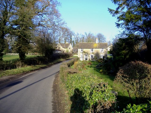
Draycot Park is rich in history and heritage, with the presence of ancient archaeological sites and landmarks scattered throughout its grounds. The estate features historic buildings, including a grand manor house that dates back several centuries. The architecture and design of these structures showcase the rich cultural and architectural heritage of the region.
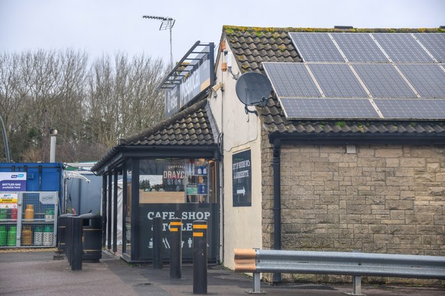
In addition to its natural beauty and historical significance, Draycot Park offers various recreational amenities for visitors. These include picnic areas, children's playgrounds, and sports facilities, catering to individuals and families alike. The park also hosts seasonal events and festivals, providing a vibrant and lively atmosphere for visitors to enjoy.
Overall, Draycot Park in Wiltshire is a captivating destination that seamlessly blends nature, history, and recreation. Its serene ambiance and scenic surroundings make it a perfect retreat for those seeking a peaceful escape from the hustle and bustle of city life.
If you have any feedback on the listing, please let us know in the comments section below.
Draycot Park Images
Images are sourced within 2km of 51.510939/-2.0864235 or Grid Reference ST9479. Thanks to Geograph Open Source API. All images are credited.


Draycot Park is located at Grid Ref: ST9479 (Lat: 51.510939, Lng: -2.0864235)
Unitary Authority: Wiltshire
Police Authority: Wiltshire
What 3 Words
///soups.pianists.carpeted. Near Sutton Benger, Wiltshire
Nearby Locations
Related Wikis

Sutton Benger
Sutton Benger is a village and civil parish in the county of Wiltshire, England, 5 miles (8.0 km) northeast of the town of Chippenham. The parish includes...

St James's Church, Draycot Cerne
St James's Church in Draycot Cerne, Sutton Benger, Wiltshire, England was built between 1260 and 1280. It is recorded in the National Heritage List for...
Draycot Cerne
Draycot Cerne (Draycott) is a small village and former civil parish, now in the parish of Sutton Benger, in Wiltshire, England, about 3 miles (5 km) north...
Seagry
Seagry is a civil parish in Wiltshire, England, about 4.5 miles (7.2 km) southeast of Malmesbury and 5.5 miles (8.9 km) northeast of Chippenham. Its main...

Sutton Lane Meadows
Sutton Lane Meadows (grid reference ST946777) is a 3.44 hectare biological Site of Special Scientific Interest in Wiltshire, notified in 1988. == Sources... ==
Stanton St. Quintin Quarry and Motorway Cutting
Stanton St. Quintin Quarry & Motorway Cutting (grid reference ST918796) is a 2.2 hectare geological Site of Special Scientific Interest southeast of Stanton...

Christian Malford
Christian Malford is a village and civil parish in the county of Wiltshire, England. The village lies about 4+1⁄2 miles (7 km) northeast of the town of...

Kington Langley
Kington Langley is a village and civil parish about 2 miles (3.2 km) north of Chippenham in Wiltshire, England. The parish includes the hamlet of Bowldown...
Nearby Amenities
Located within 500m of 51.510939,-2.0864235Have you been to Draycot Park?
Leave your review of Draycot Park below (or comments, questions and feedback).