Brookfield
Settlement in Herefordshire
England
Brookfield
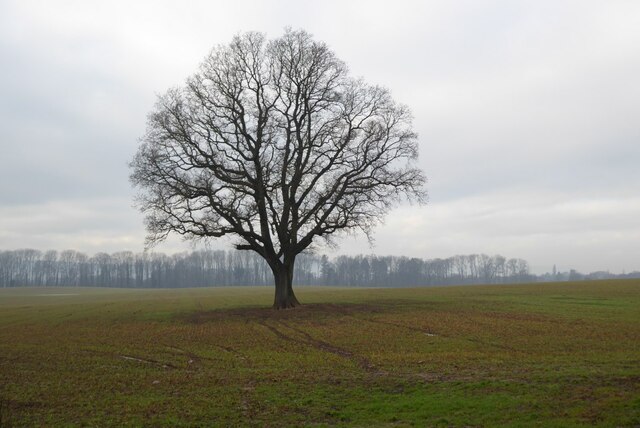
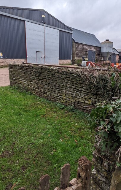
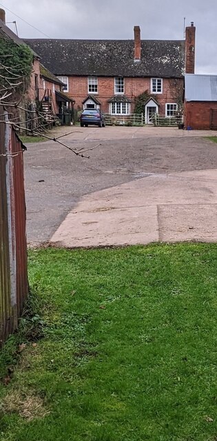
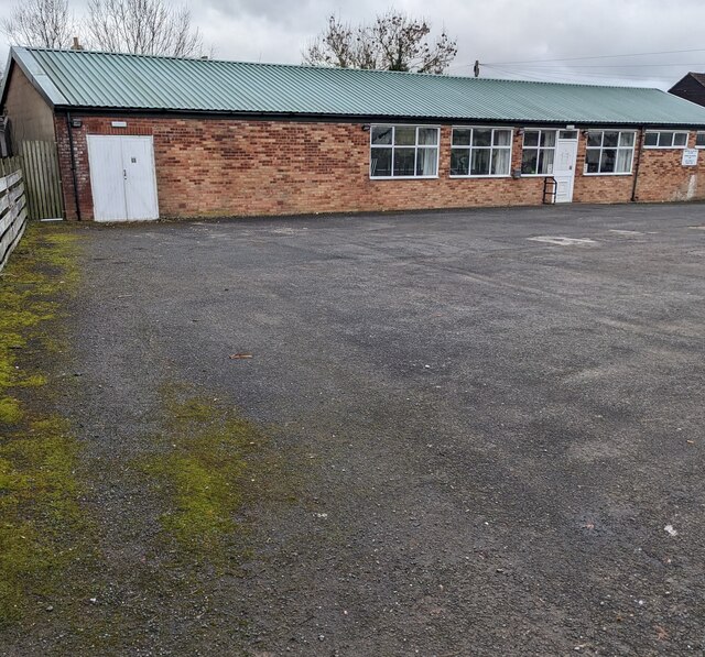
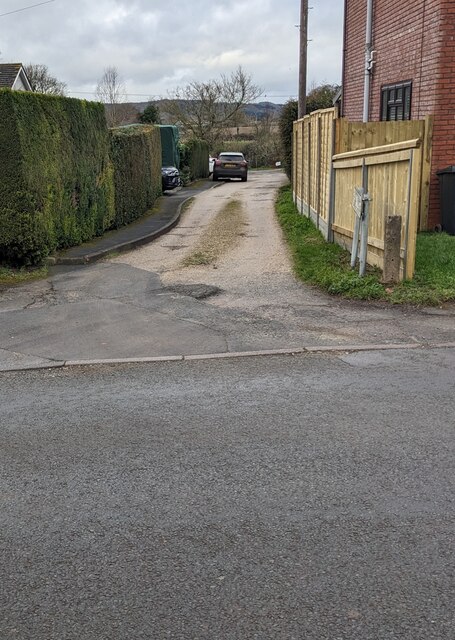
Brookfield is a small rural village located in the county of Herefordshire, England. Situated approximately 10 miles northeast of the city of Hereford, it is nestled amidst the picturesque countryside of the county. The village is known for its idyllic surroundings, characterized by rolling hills, green meadows, and a tranquil atmosphere.
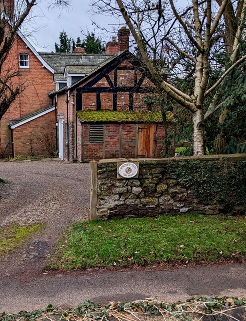
With a population of around 300 residents, Brookfield is a close-knit community that embodies the charm and warmth associated with traditional English villages. The village is primarily residential, with a scattering of small businesses catering to the needs of the locals.
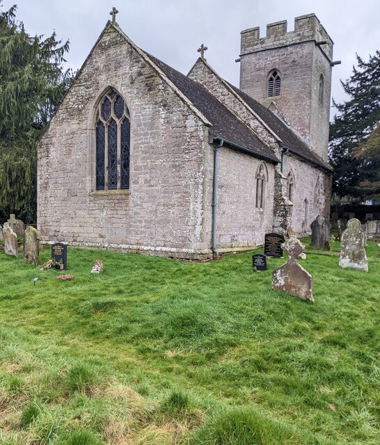
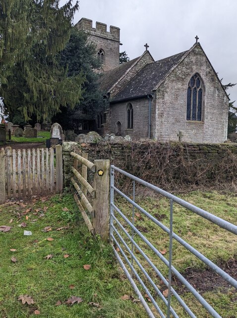
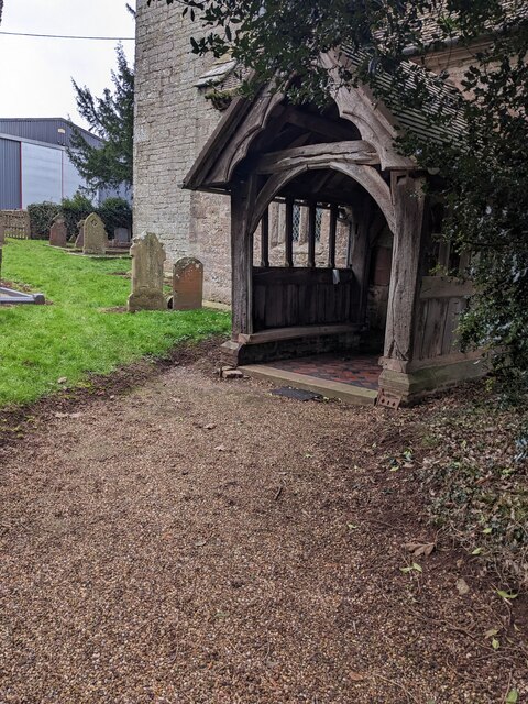
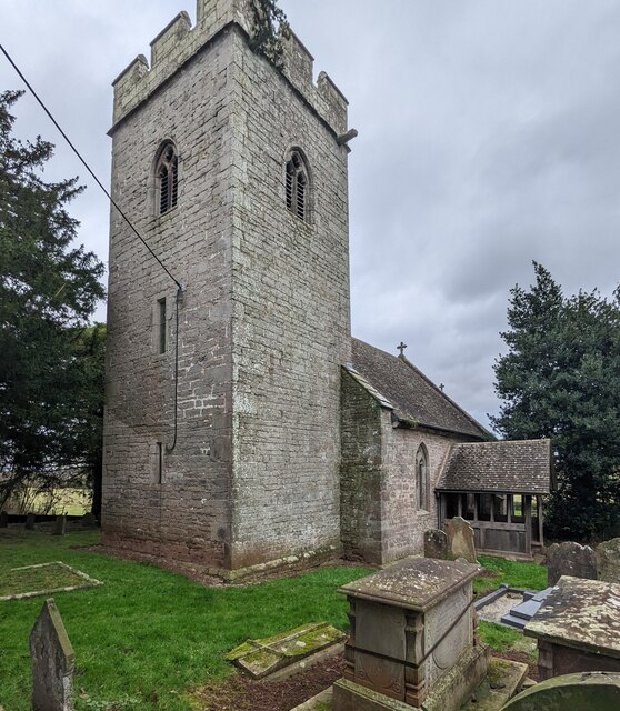
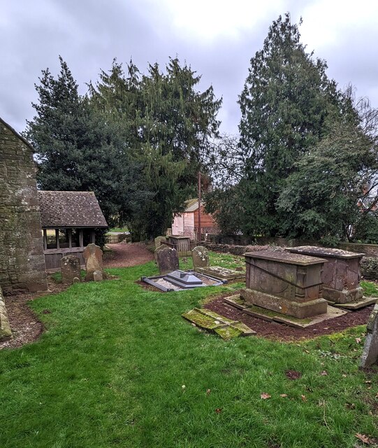
Brookfield boasts a rich history, with some buildings dating back several centuries. The St. Peter's Church, a beautiful medieval structure, stands as a prominent landmark in the heart of the village. The church serves as a focal point for community gatherings and religious events.
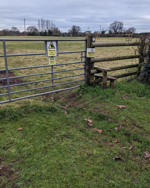
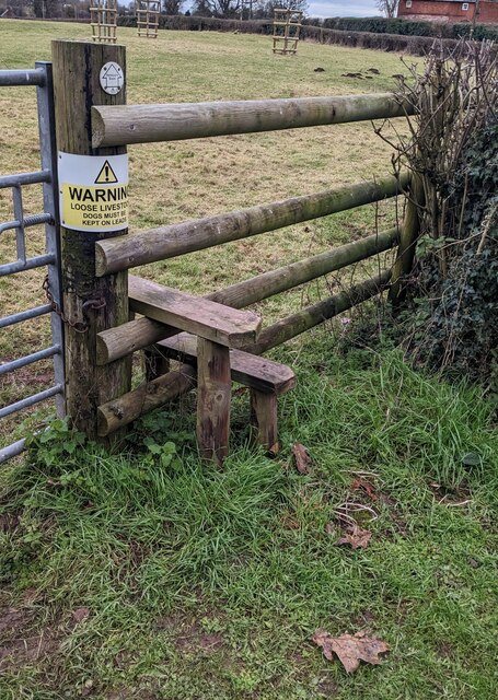
Nature enthusiasts are drawn to Brookfield for its abundance of outdoor activities. The village is surrounded by stunning countryside, offering opportunities for hiking, cycling, and horseback riding. The nearby River Wye is a popular spot for fishing and canoeing.
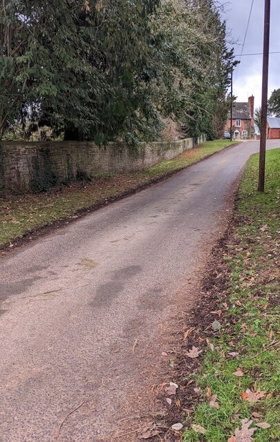
Despite its rural setting, Brookfield benefits from good transport links. The A49 road runs through the village, connecting it to Hereford and other nearby towns. This accessibility allows residents to enjoy the tranquility of village life while still having easy access to amenities and services.
Overall, Brookfield is a charming and peaceful village that encapsulates the beauty and serenity of Herefordshire's countryside. Its historical buildings, natural landscapes, and tight-knit community make it an attractive place to call home or visit.
If you have any feedback on the listing, please let us know in the comments section below.
Brookfield Images
Images are sourced within 2km of 52.009361/-2.8286243 or Grid Reference SO4334. Thanks to Geograph Open Source API. All images are credited.
Brookfield is located at Grid Ref: SO4334 (Lat: 52.009361, Lng: -2.8286243)
Unitary Authority: County of Herefordshire
Police Authority: West Merica
What 3 Words
///topped.bluff.remit. Near Kingstone, Herefordshire
Nearby Locations
Related Wikis

Thruxton, Herefordshire
Thruxton is a small rural village and civil parish in Herefordshire, England. It is located within the historic area of Archenfield, near the Welsh border...

Kingstone, Herefordshire
Kingstone is a civil parish and a large village in rural Herefordshire, England. It lies within the historic area of Archenfield, near the Welsh border...
Kingstone High School
Kingstone High School is a mixed secondary school located in Kingstone in the English county of Herefordshire.Previously a community school administered...
Treville, Herefordshire
Treville (called in Welsh Trefelin) is a rural area and former royal forest in the English county of Herefordshire. It is near Wormbridge and other small...
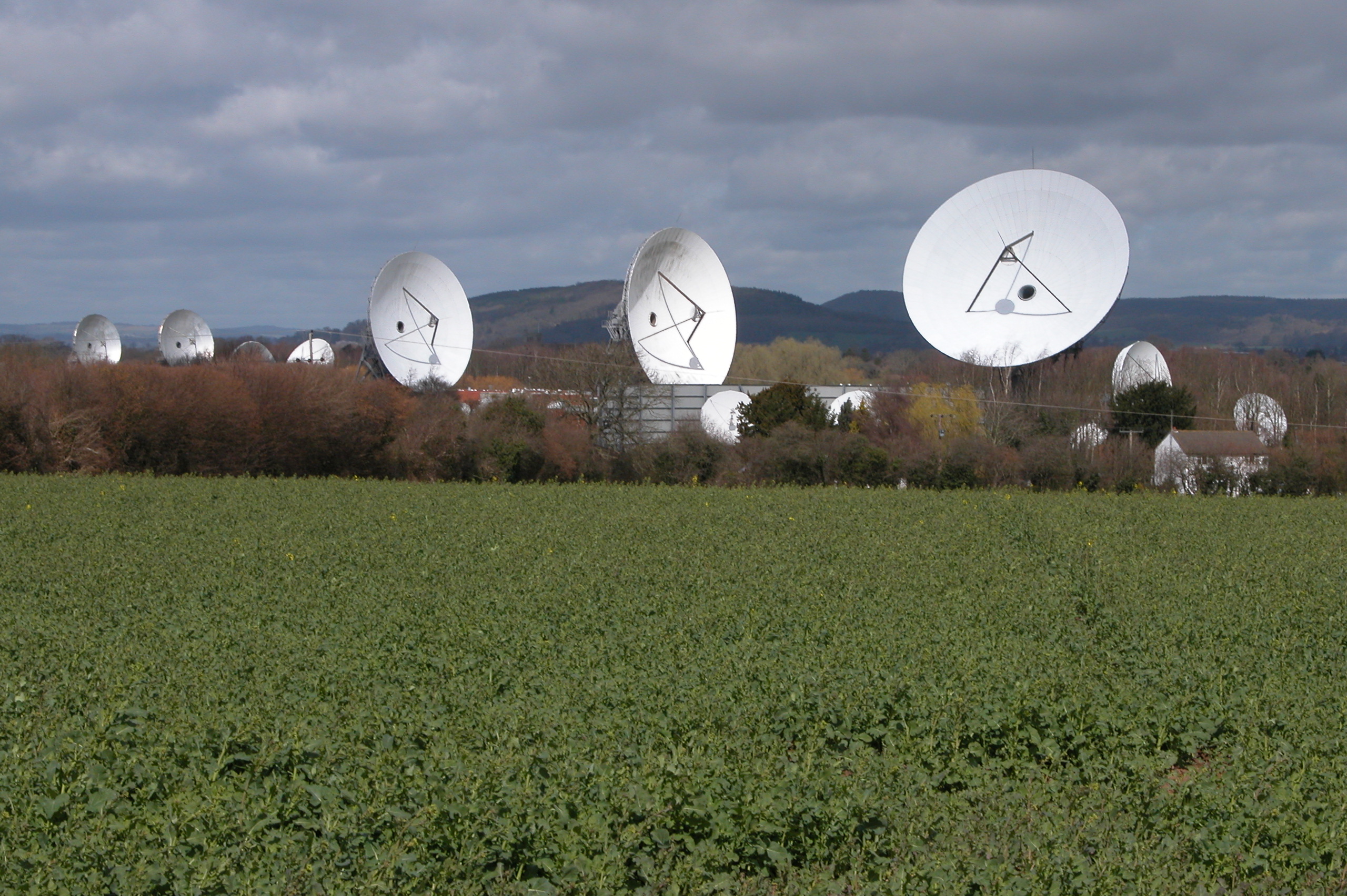
Madley Communications Centre
Madley Communications Centre is BT Group's earth satellite tracking station, between Madley and Kingstone, Herefordshire, England. == Earth position... ==
RAF Madley
Royal Air Force Madley, or more simply RAF Madley, was a Royal Air Force station situated 6.2 miles (10 km) south west of Hereford in Herefordshire, England...

Allensmore
Allensmore is a village in Herefordshire, England. It is located on the A465 road about 4 miles (6 km) south-west of Hereford. The church is dedicated...

Clehonger
Clehonger is a village and civil parish in Herefordshire, England, and 7 km (4.3 mi) south-west of Hereford. Clehonger is from the old English 'Clayey...
Nearby Amenities
Located within 500m of 52.009361,-2.8286243Have you been to Brookfield?
Leave your review of Brookfield below (or comments, questions and feedback).