Brook

Settlement in Lancashire Preston

England

Brook

Gaggle of Geese Canada geese at Eaves Green farm near Goosnargh.
Gaggle of Geese Credit: Phil and Juliette Platt

Brook is a small village located in the county of Lancashire, in the northwest of England. It is situated approximately 5 miles northeast of Preston, the administrative center of the county. With a population of around 1,500 people, it is considered a relatively small and close-knit community.

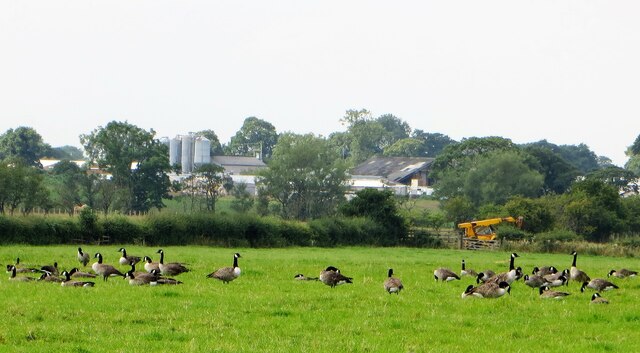
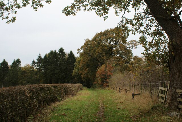
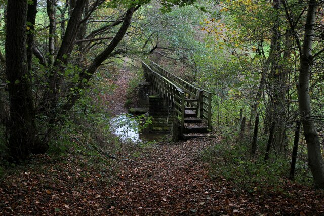
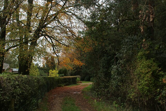
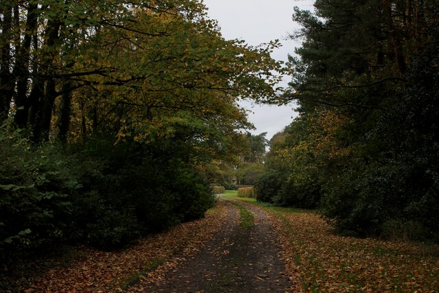
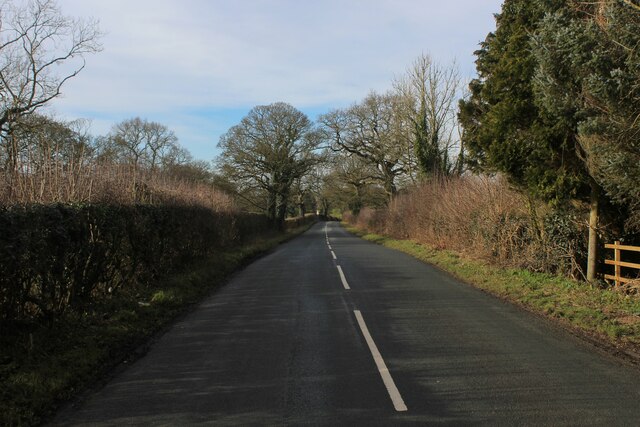
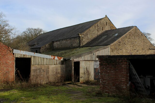
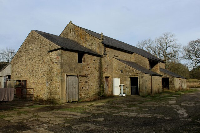
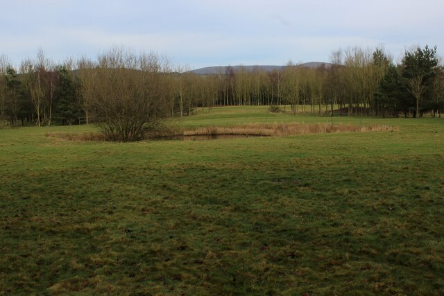
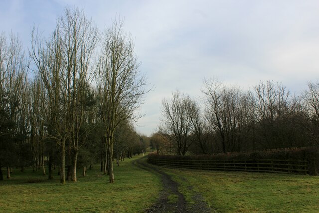
The village of Brook is surrounded by picturesque countryside, with rolling hills and lush green fields. It offers residents and visitors a peaceful and idyllic setting, perfect for those seeking a tranquil retreat from the hustle and bustle of city life.

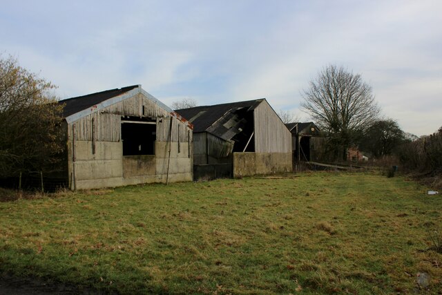
Despite its small size, Brook boasts a few amenities for its residents. These include a local pub, a primary school, and a village hall which serves as a hub for various community events and gatherings. The village also benefits from good transport links, with regular bus services connecting it to nearby towns and cities.

For those interested in exploring the surrounding area, Brook is conveniently located near several attractions. The historic city of Preston is within easy reach, offering a wide range of shopping, dining, and cultural experiences. The stunning countryside of the Forest of Bowland is also nearby, providing ample opportunities for outdoor activities such as hiking, cycling, and birdwatching.

Overall, Brook, Lancashire, offers a peaceful and scenic setting, making it an attractive place to live for those seeking a slower pace of life and a strong sense of community.

If you have any feedback on the listing, please let us know in the comments section below.
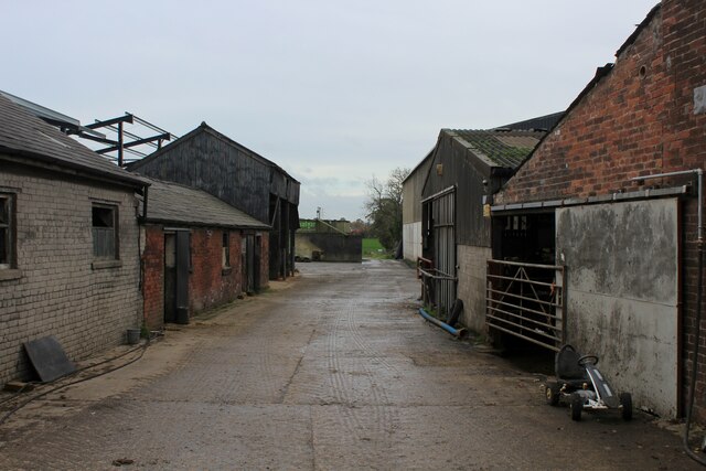
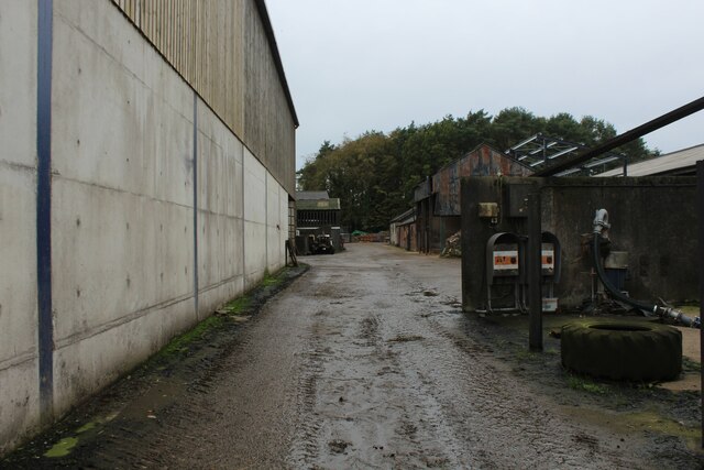
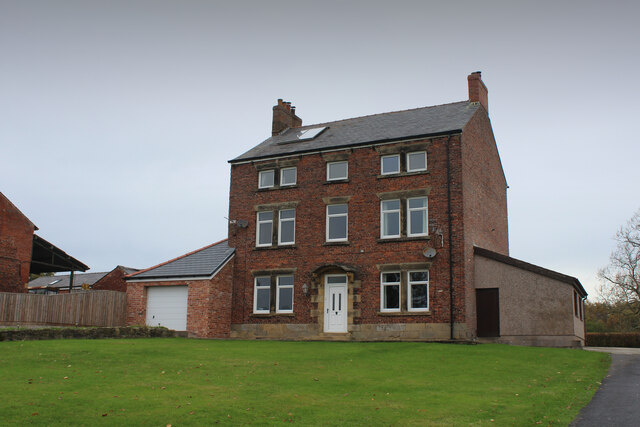
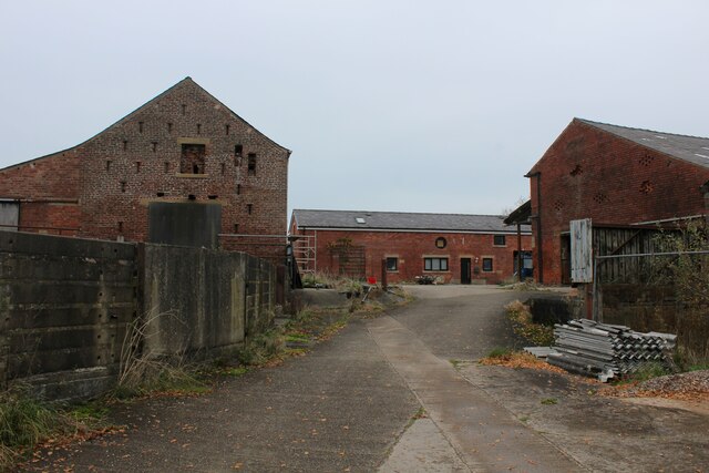
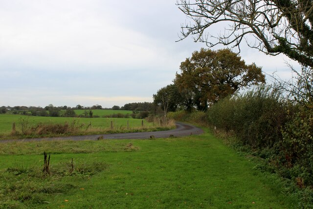
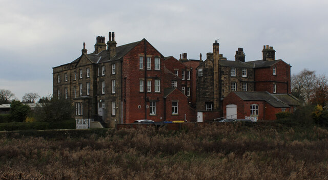
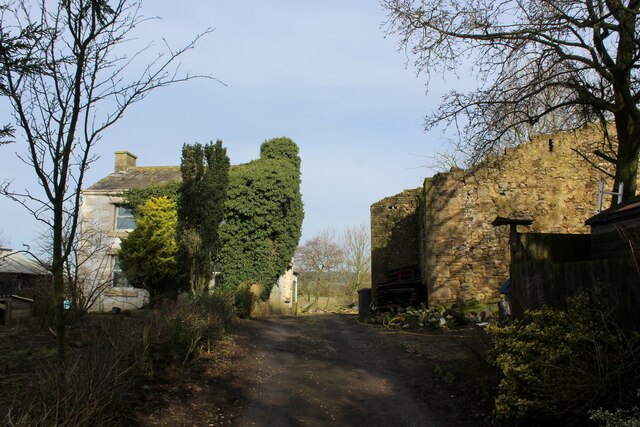
Brook Images

Images are sourced within 2km of 53.837358/-2.6572559 or Grid Reference SD5638. Thanks to Geograph Open Source API. All images are credited.

Gaggle of Geese Canada geese at Eaves Green farm near Goosnargh.
Gaggle of Geese
Canada geese at Eaves Green farm near Goosnargh.
Green Lane approaching Rigby Wood Bridleway outside Middleton Hall
Green Lane approaching Rigby Wood
Bridleway outside Middleton Hall
Footbridge across Westfield Brook Long and substantial footbridge across Westfield Brook
Footbridge across Westfield Brook
Long and substantial footbridge across Westfield Brook
In Lodge Wood Au autumnal scene on a wide track passing Townley Lodge
In Lodge Wood
Au autumnal scene on a wide track passing Townley Lodge
Approaching Gardner's Farm Autumnal scene in Lodge Wood
Approaching Gardner's Farm
Autumnal scene in Lodge Wood
Heading East through the Farmyard at Goosnargh Lodge A public footpath runs through this farmyard towards Goosnargh Mill
Heading East through the Farmyard at Goosnargh Lodge
A public footpath runs through this farmyard towards Goosnargh Mill
Heading West through the Farmyard at Goosnargh Lodge
Middleton Hall
Middleton Hall
Farmyard at Middleton Hall
Access to Cross House Adopted by a public footpath
Access to Cross House
Adopted by a public footpath
Bushell House Retirement Home Formerly known as Bushell's Hospital in the village of Goosnargh - dating back from 1722.
Now a retirement home, and Grade II Listed.
Bushell House Retirement Home
Formerly known as Bushell's Hospital in the village of Goosnargh - dating back from 1722. Now a retirement home, and Grade II Listed.
Palegate Farm Curious premises off Inglewhite Road. A ruin on the right, while the farmhouse on the right is smothered in ivy like vegetation - practically covering the windows.
Palegate Farm
Curious premises off Inglewhite Road. A ruin on the right, while the farmhouse on the right is smothered in ivy like vegetation - practically covering the windows.
Inglewhite Road Heading north west outside Palegate Farm
Inglewhite Road
Heading north west outside Palegate Farm
Outbuildings at Whinnyclough A public footpath wends its way through an array of farm outbuildings, many of which appear abandoned or boarded up.
The golf course next door has also been abandoned, and given over to sheep pasture at present
Outbuildings at Whinnyclough
A public footpath wends its way through an array of farm outbuildings, many of which appear abandoned or boarded up. The golf course next door has also been abandoned, and given over to sheep pasture at present
Long Barn at Whinnyclough The date of 1639 appears upon a door lintel on this building, although I cannot believe the entire structure dates from that time.
Most of the outbuildings appear abandoned, hereabouts, although this barn still seems to be active.
Long Barn at Whinnyclough
The date of 1639 appears upon a door lintel on this building, although I cannot believe the entire structure dates from that time. Most of the outbuildings appear abandoned, hereabouts, although this barn still seems to be active.
Fairway on the Abandoned Goosnargh Golf Course No longer the sound of drivers and irons striking a hard white ball. The course is now closed and abandoned, given over temporarily to sheep pasture.
There are rumoured to be plans to turn the whole complex into a holiday village with all the amenities.
<a href="https://www.geograph.org.uk/photo/113184">SD5639 : Goosnargh Golf Course</a>
Fairway on the Abandoned Goosnargh Golf Course
No longer the sound of drivers and irons striking a hard white ball. The course is now closed and abandoned, given over temporarily to sheep pasture. There are rumoured to be plans to turn the whole complex into a holiday village with all the amenities. SD5639 : Goosnargh Golf Course
Track on the Southern Boundary of Goosnargh Golf Course The track is heading for Whinnyclough - this section of the edge of the now abandoned Goosnargh Golf Course
Track on the Southern Boundary of Goosnargh Golf Course
The track is heading for Whinnyclough - this section of the edge of the now abandoned Goosnargh Golf Course
Abandoned Outbuildings on the Edge of Goosnargh Golf Course An air of neglect permeate the surroundings. The golf course abandoned to sheep, if temporarily. Many of the outbuildings at nearby Whinnyclough are also falling into dereliction and disrepair
Abandoned Outbuildings on the Edge of Goosnargh Golf Course
An air of neglect permeate the surroundings. The golf course abandoned to sheep, if temporarily. Many of the outbuildings at nearby Whinnyclough are also falling into dereliction and disrepair
Show me another place!

Brook is located at Grid Ref: SD5638 (Lat: 53.837358, Lng: -2.6572559)

Administrative County: Lancashire

District: Preston

Police Authority: Lancashire

What 3 Words

///obstinate.canal.smothered. Near Goosnargh, Lancashire

Nearby Locations

Brook

Related Wikis

Ye Horns Inn

Ye Horns Inn is a restaurant and public house at Horns Lane in Goosnargh parish near Preston, Lancashire, England.Located near the Forest of Bowland, Ye...

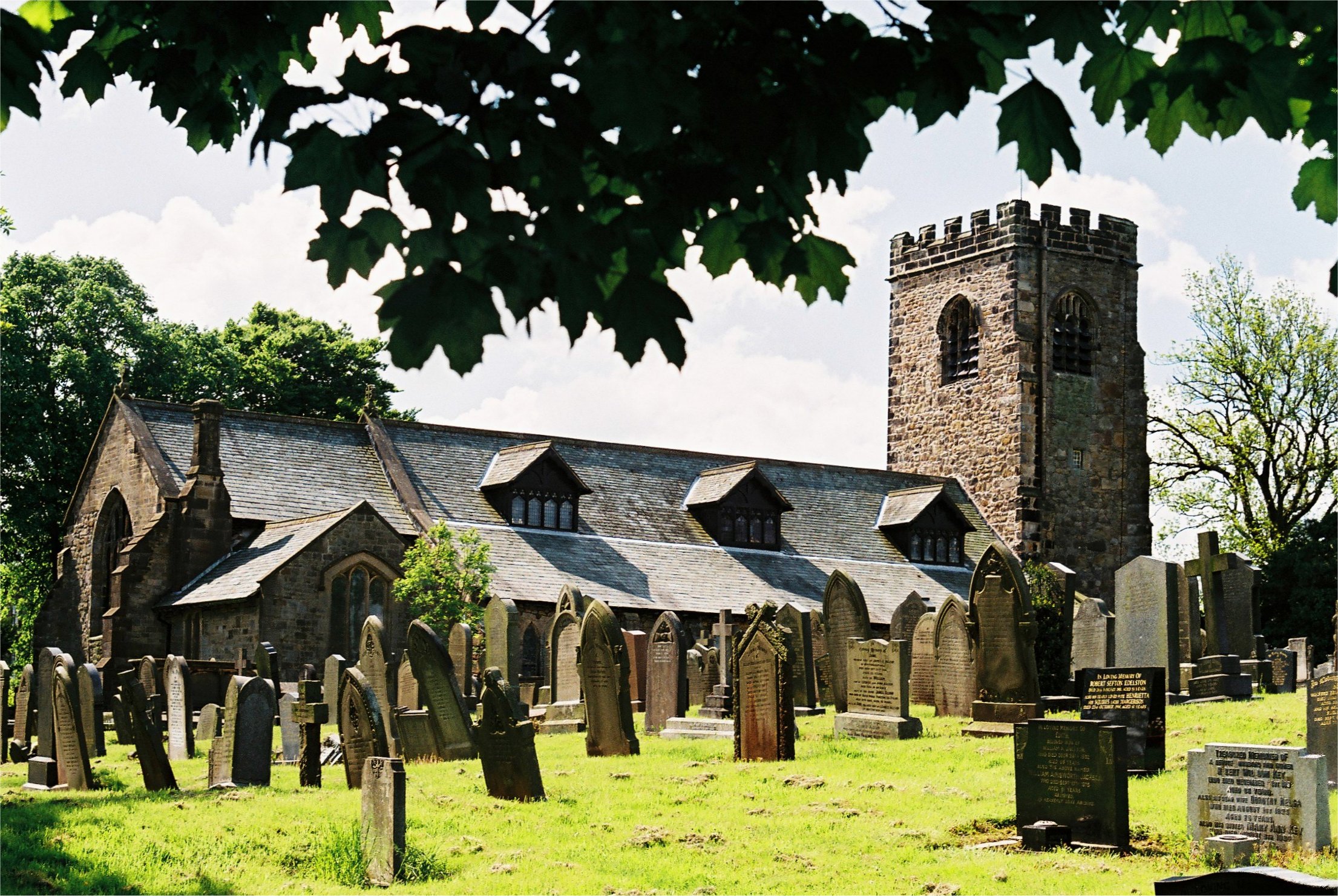
St Mary's Church, Goosnargh

The Church of St Mary the Virgin is an Anglican church in Goosnargh, a village north of Preston in Lancashire, England. The church dates from the Middle...

Goosnargh

Goosnargh ( GOOZ-nər) is a village and civil parish in the City of Preston district of Lancashire, England. The village lies between Broughton and Longridge...

Whittingham Hospital

Whittingham Hospital was a psychiatric hospital in the parish of Whittingham, near Preston, Lancashire, England. The hospital opened in 1873 as the Fourth...

Nearby Amenities

Located within 500m of 53.837358,-2.6572559
Ford: yes
Source: OS_OpenData_StreetView
Lat/Long: 53.8411258/-2.6578793
Power: tower
Source: Bing
Lat/Long: 53.8339864/-2.6523725
Power: tower
Source: Bing
Lat/Long: 53.8382598/-2.663949
Power: tower
Source: Bing
Lat/Long: 53.8361836/-2.6582949
Power: tower
Source: Bing
Lat/Long: 53.835202/-2.6556341
Power: tower
Source: Bing
Lat/Long: 53.837057/-2.6606767
Barrier: stile
Bicycle: yes
Foot: yes
Material: wood
Stile: stepover
Lat/Long: 53.8369333/-2.6630868
Barrier: stile
Bicycle: yes
Foot: yes
Material: wood
Stile: stepover
Lat/Long: 53.8369173/-2.6632178
Barrier: stile
Bicycle: yes
Foot: yes
Material: wood
Stile: stepover
Lat/Long: 53.8378394/-2.6575408
Barrier: stile
Bicycle: yes
Foot: yes
Material: wood
Stile: stepover
Lat/Long: 53.8362932/-2.6501399
Barrier: stile
Bicycle: yes
Foot: yes
Material: wood
Stile: stepover
Lat/Long: 53.8369905/-2.6517743
Barrier: kissing_gate
Bicycle: yes
Foot: yes
Lat/Long: 53.8400574/-2.6521606
The data included in this document is from www.openstreetmap.org. The data is made available under ODbL.

Have you been to Brook?

Leave your review of Brook below (or comments, questions and feedback).