Brokenford
Settlement in Hampshire New Forest
England
Brokenford
Brokenford is a small village located in the county of Hampshire, England. Situated on the eastern bank of the River Test, it is part of the Test Valley district. The village lies approximately 10 miles northwest of the city of Southampton and 7 miles southeast of the town of Romsey.
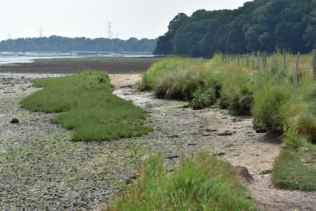
Historically, Brokenford has been an agricultural community, with farming playing a significant role in its economy. The village is surrounded by picturesque countryside, featuring rolling hills and meandering rivers, making it an ideal location for outdoor activities such as hiking and fishing.
The village itself is characterized by traditional English country charm, with a mix of architectural styles ranging from thatched cottages to more modern houses. St. Mary's Church, a Grade II listed building, stands as a prominent landmark in Brokenford, dating back to the 12th century and offering a glimpse into the village's rich history.
Although small in size, Brokenford benefits from a close-knit community spirit, with several local amenities to cater to the needs of its residents. These include a primary school, a village hall, and a few small shops and pubs. For more extensive services and amenities, residents can easily access nearby towns and cities.
Overall, Brokenford offers a tranquil and idyllic setting for those seeking a peaceful village life, surrounded by natural beauty and a strong sense of community.
If you have any feedback on the listing, please let us know in the comments section below.
Brokenford Images
Images are sourced within 2km of 50.91659/-1.4856892 or Grid Reference SU3613. Thanks to Geograph Open Source API. All images are credited.


Brokenford is located at Grid Ref: SU3613 (Lat: 50.91659, Lng: -1.4856892)
Administrative County: Hampshire
District: New Forest
Police Authority: Hampshire
What 3 Words
///gravy.tame.forces. Near Totton, Hampshire
Nearby Locations
Related Wikis
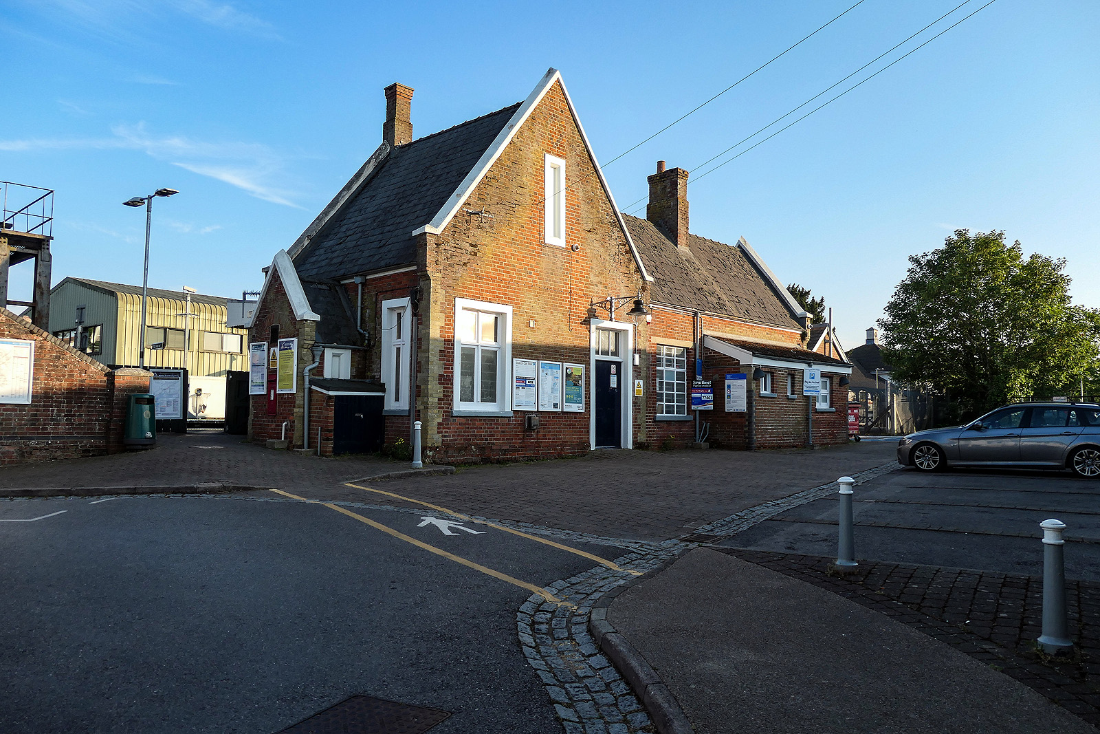
Totton railway station
Totton railway station serves the towns of Totton & Eling, Hampshire, England and is on the South West Main Line. It is 82 miles 43 chains (132.8 km) down...

Totton and Eling
Totton and Eling () is a civil parish in Hampshire, England, with a population of about 28,100 people. It contains the town of Totton and is situated between...

Bartley Water
Bartley Water is a two-branch small river in the New Forest district of Hampshire, England. It drains the north and north-east of the New Forest National...

Eling Tide Mill
Eling Tide Mill, situated on an artificial causeway in Eling in Hampshire, England, is one of only two remaining operating tide mills in the United Kingdom...

Redbridge, Southampton
Redbridge is a ward with a population of 14,432, 3.1 miles (5.0 km) to the west of the city centre of Southampton, England. The settlement is positioned...

Totton & Eling F.C.
Totton & Eling Football Club are a football club based in Totton & Eling, Hampshire, England. The club is affiliated to the Hampshire Football Association...

River Test
The River Test is a chalk stream in Hampshire in the south of England. It rises at Ashe near Basingstoke and flows southwards for 40 miles (64 km) to Southampton...

Redbridge railway station
Redbridge railway station is a small station in the Redbridge area of Southampton, England. The station is located at the junction of the Wessex Main Line...
Nearby Amenities
Located within 500m of 50.91659,-1.4856892Have you been to Brokenford?
Leave your review of Brokenford below (or comments, questions and feedback).