Bromesberrow

Settlement in Gloucestershire Forest of Dean

England

Bromesberrow

M50 looking west at junction 2
M50 looking west at junction 2 Credit: Colin Pyle

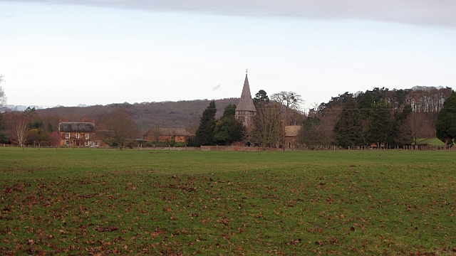
Bromesberrow is a small village located in the county of Gloucestershire, England. Situated in the picturesque countryside of the Tewkesbury borough, it is surrounded by rolling hills and lush green fields. The village is situated approximately 12 miles east of the city of Gloucester and about 5 miles west of the town of Tewkesbury.

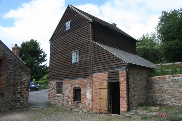
With a population of just over 200 residents, Bromesberrow is a close-knit community that exudes a tranquil and idyllic atmosphere. The village is characterized by its charming stone-built cottages, many of which date back several centuries, giving it a timeless and traditional feel.

The heart of the community lies in St. Mary's Church, a beautiful medieval church that stands proudly at the center of the village. The church serves as a gathering place for the locals and is known for its stunning stained glass windows and historical significance.

While Bromesberrow is primarily a residential area, it is also home to some local businesses, including a farm shop that offers fresh produce and locally sourced products. The surrounding countryside provides ample opportunities for outdoor activities such as hiking, cycling, and horse riding, making it a haven for nature enthusiasts.

Overall, Bromesberrow offers a peaceful and charming retreat from the hustle and bustle of city life. Its quaint beauty and close community spirit make it a truly special place in the Gloucestershire countryside.

If you have any feedback on the listing, please let us know in the comments section below.
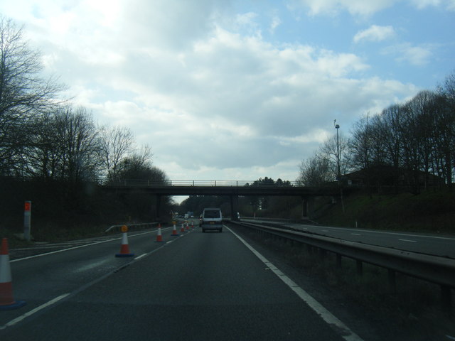
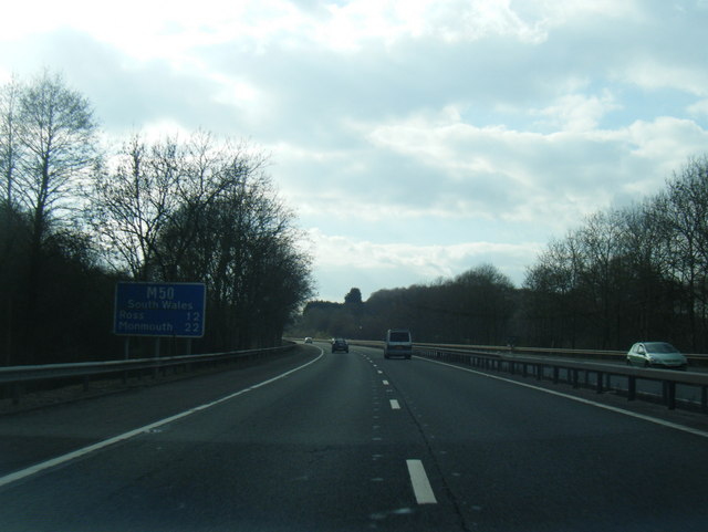
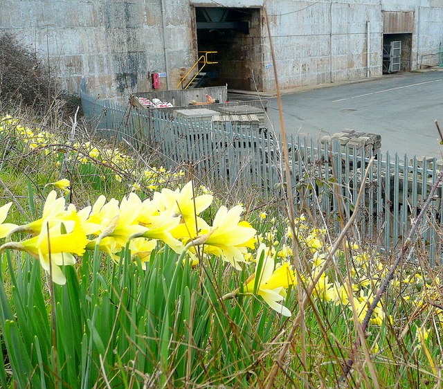
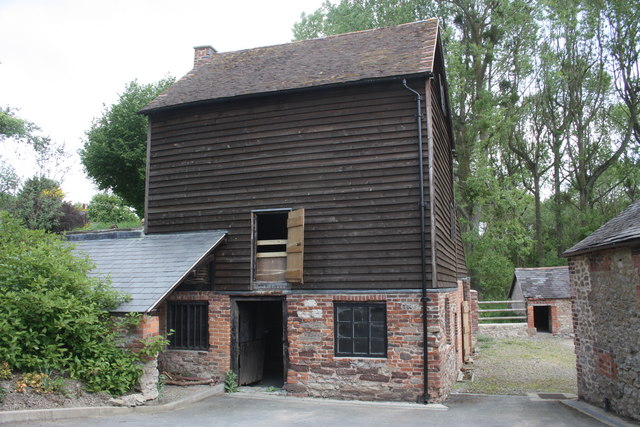
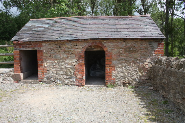
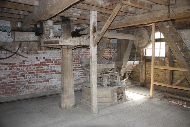
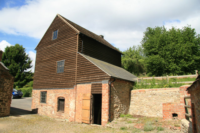
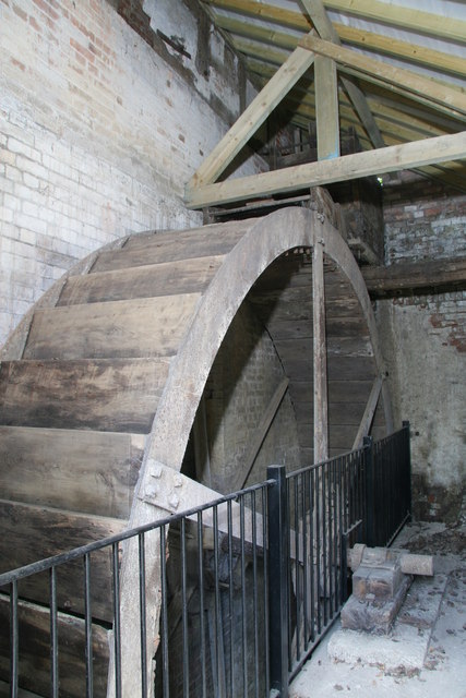
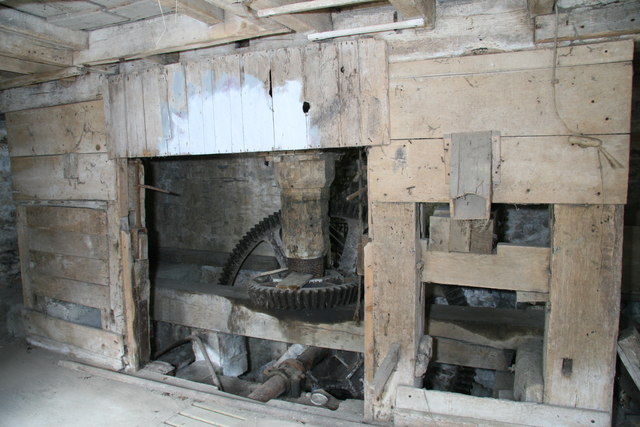
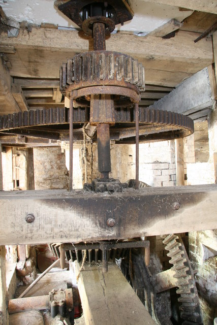
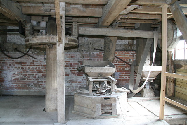
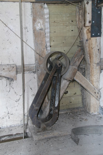
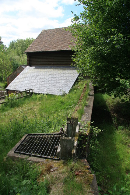
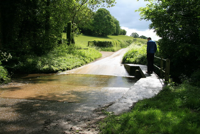
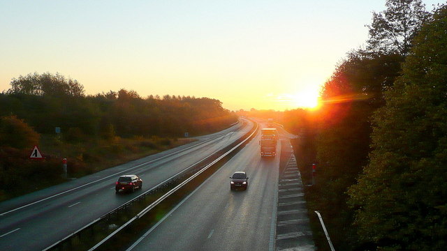
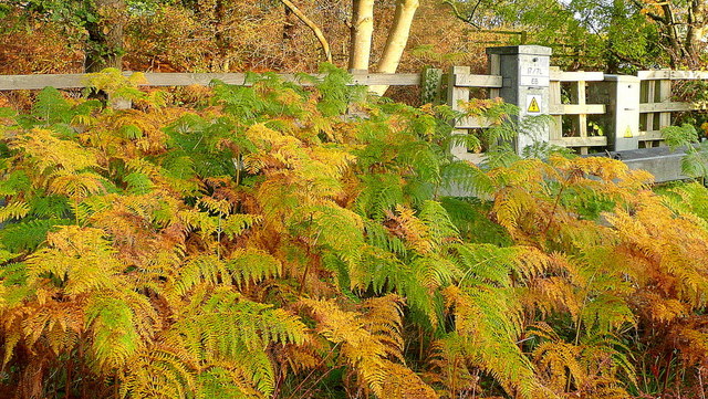
Bromesberrow Images

Images are sourced within 2km of 52.0051/-2.3685769 or Grid Reference SO7434. Thanks to Geograph Open Source API. All images are credited.

M50 looking west at junction 2
M50 looking west
M50 looking west
Wild daffodils by the M50 These Narcissus pseudonarcissus clothe the slopes surrounding the Highways Authority depot at Junction 2 of the M50.
Wild daffodils by the M50
These Narcissus pseudonarcissus clothe the slopes surrounding the Highways Authority depot at Junction 2 of the M50.
Clencher's Mill Taken on a visit during the National Mills Weekend.
An 18th century timber framed mill with an iron overshot waterwheel dating back to 1820. 
The waterwheel is accessed from the open doorway.
When, in the 1920s, the water supply via the leet was cut off the mill was driven from an engine in the building on the left with a drive shaft passing overhead.
Clencher's Mill
Taken on a visit during the National Mills Weekend. An 18th century timber framed mill with an iron overshot waterwheel dating back to 1820. The waterwheel is accessed from the open doorway. When, in the 1920s, the water supply via the leet was cut off the mill was driven from an engine in the building on the left with a drive shaft passing overhead.
Clencher's Mill Taken on a visit during the National Mills Weekend.
An 18th century timber framed mill with an iron overshot waterwheel dating back to 1820. 
When, in the 1920s, the water supply via the leet was cut off the mill was driven from an engine in the building on the right with a drive shaft passing overhead.
Clencher's Mill
Taken on a visit during the National Mills Weekend. An 18th century timber framed mill with an iron overshot waterwheel dating back to 1820. When, in the 1920s, the water supply via the leet was cut off the mill was driven from an engine in the building on the right with a drive shaft passing overhead.
Outbuildings, Clencher's Mill I was told these were pigsties. 
The front wall is two bricks 18" deep.
The left end wall is modern breeze block so the building may have been shortened.
Outbuildings, Clencher's Mill
I was told these were pigsties. The front wall is two bricks 18" deep. The left end wall is modern breeze block so the building may have been shortened.
The mill stones, Clencher's Mill Taken on a visit during the National Mills Weekend.
An 18th century timber framed mill with an iron overshot waterwheel dating back to the 1820.
The corn for grinding was shaken from the wooden hopper into the centre of the top stone.
The string disappearing through a hole to the floor below controlled the feed of corn to the mill - when a bag of milled flour was full the miller pulled the string and the corn stopped flowing.
The metal lever on the wall on the left of the picture controlled the water flow over the wheel, housed beyond the brick wall.
The horizontal shaft with the leather belt must be a 1920s addition when the water supply to the leet was cut off and the mill was powered from an engine in an adjacent building.
The mill stones, Clencher's Mill
Taken on a visit during the National Mills Weekend. An 18th century timber framed mill with an iron overshot waterwheel dating back to the 1820. The corn for grinding was shaken from the wooden hopper into the centre of the top stone. The string disappearing through a hole to the floor below controlled the feed of corn to the mill - when a bag of milled flour was full the miller pulled the string and the corn stopped flowing. The metal lever on the wall on the left of the picture controlled the water flow over the wheel, housed beyond the brick wall. The horizontal shaft with the leather belt must be a 1920s addition when the water supply to the leet was cut off and the mill was powered from an engine in an adjacent building.
Clenchers Mill This is the watermill for Eastnor Castle and was open for National Mills Weekend. There is an overshot wheel and a single pair of stones.
Clenchers Mill
This is the watermill for Eastnor Castle and was open for National Mills Weekend. There is an overshot wheel and a single pair of stones.
Clenchers Mill, near Eastnor The estate watermill for Eastnor Castle and shortly to be restored to working order. This is the overshot water wheel. The wooden penstock is at the top. The railing is obviously more modern.
Clenchers Mill, near Eastnor
The estate watermill for Eastnor Castle and shortly to be restored to working order. This is the overshot water wheel. The wooden penstock is at the top. The railing is obviously more modern.
Clenchers Mill, near Eastnor This is the gear room of this 18th century timber framed watermill. The wheel is of 1820. The pit wheel is at the back and the wallow is out of mesh on the beam carrying the footstep bearing for the main shaft. There is one surviving set of stones driven to the right. The stones on the left are missing but sufficient remains to show there must have been a pair here. The vertical centre boarding is curved to clear the great spur wheel.
Clenchers Mill, near Eastnor
This is the gear room of this 18th century timber framed watermill. The wheel is of 1820. The pit wheel is at the back and the wallow is out of mesh on the beam carrying the footstep bearing for the main shaft. There is one surviving set of stones driven to the right. The stones on the left are missing but sufficient remains to show there must have been a pair here. The vertical centre boarding is curved to clear the great spur wheel.
Clenchers Mill This shows the pit wheel, great spur wheel and single surviving stone nut. The jacking ring has been used to take the stone nut out of engagement. The axle of the wheel can be seen to be metal. This watermill was open for National Mills Weekend.
Clenchers Mill
This shows the pit wheel, great spur wheel and single surviving stone nut. The jacking ring has been used to take the stone nut out of engagement. The axle of the wheel can be seen to be metal. This watermill was open for National Mills Weekend.
Clenchers Mill - stone floor The single surviving pair of stones and a crusher for animal feed are on the right. The lever on the wall on the left opens the penstock for the overshot waterwheel. The crownwheel is just left of centre and operates one shaft for the sack hoist and one for other auxiliaries.
Clenchers Mill - stone floor
The single surviving pair of stones and a crusher for animal feed are on the right. The lever on the wall on the left opens the penstock for the overshot waterwheel. The crownwheel is just left of centre and operates one shaft for the sack hoist and one for other auxiliaries.
Clenchers Mill,  sack hoist mechanism This roller on an arm is pulled onto the sack hoist belt (vertical belt left of centre) to tighten it and engage the sack hoist and pulled off to release it. There are two cords to operate it. I have never seen one like it before.

This watermill was open for National Mills Weekend.
Clenchers Mill, sack hoist mechanism
This roller on an arm is pulled onto the sack hoist belt (vertical belt left of centre) to tighten it and engage the sack hoist and pulled off to release it. There are two cords to operate it. I have never seen one like it before. This watermill was open for National Mills Weekend.
Clenchers Mill near Eastnor The leat is on the right with the by-pass sluice in the foreground. The mill is beyond and the wheel is under the slate roof that is catching the light. The leat is currently dry but restoration is anticipated within three years.
Clenchers Mill near Eastnor
The leat is on the right with the by-pass sluice in the foreground. The mill is beyond and the wheel is under the slate roof that is catching the light. The leat is currently dry but restoration is anticipated within three years.
Ford on the minor road from Eastnor to Bromsberrow
Sunrise over the M50 Early morning commuters and delivery drivers are out on the nation's road system.
Sunrise over the M50
Early morning commuters and delivery drivers are out on the nation's road system.
Bracken by the M50 Whilst waiting in a traffic queue I noticed this little slice of autumn out of my passenger side window!
Bracken by the M50
Whilst waiting in a traffic queue I noticed this little slice of autumn out of my passenger side window!
A big grass field, Bromesberrow Looking towards the limestone hills at Ledbury, beyond Bromesberrow Court and church.
A big grass field, Bromesberrow
Looking towards the limestone hills at Ledbury, beyond Bromesberrow Court and church.
Show me another place!

Bromesberrow is located at Grid Ref: SO7434 (Lat: 52.0051, Lng: -2.3685769)

Administrative County: Gloucestershire

District: Forest of Dean

Police Authority: Gloucestershire

What 3 Words

///metals.trim.defectors. Near Donnington, Herefordshire

Related Wikis

Bromsberrow

Bromsberrow (or Bromesberrow) is part of the Forest of Dean district. The village is close to the meeting point between Gloucestershire, Herefordshire...

Whiteleaved Oak

Whiteleaved Oak is a hamlet in the English county of Herefordshire, lying in a valley at the southern end of the Malvern Hills between Raggedstone Hill...

Three Counties (Gloucestershire, Herefordshire and Worcestershire)

The Three Counties of England are traditionally the three agrarian counties of Gloucestershire, Herefordshire and Worcestershire.Including towns and cities...

Raggedstone Hill

Raggedstone Hill is situated on the range of Malvern Hills that runs approximately 13 kilometres (8 mi) north-south along the Herefordshire-Worcestershire...

Redmarley D'Abitot

Redmarley D'Abitot is a civil parish and village in the Forest of Dean district, Gloucestershire, South West England. In addition to the village of Redmarley...

Eastnor Castle

Eastnor Castle, Eastnor, Herefordshire, is a 19th-century mock castle. Eastnor was built for John Cocks, 1st Earl Somers, who employed Robert Smirke, later...

Bronsil Castle

Bronsil Castle was a fortified manor house about 1 mile (1.6 km) to the east of Eastnor in Herefordshire, England near Ledbury). It is a Grade II* listed...

Hollybush, Worcestershire

Hollybush is a small village in Worcestershire at the southern end of the Malvern Hills and close to the borders of both Gloucestershire and Herefordshire...

Nearby Amenities

Located within 500m of 52.0051,-2.3685769
Barrier: kissing_gate
Foot: yes
Lat/Long: 52.0034733/-2.3743237
Barrier: stile
Foot: yes
Lat/Long: 52.0069144/-2.3670018
Browns End
Alt Name: Brownsend, Brown's End
Place: hamlet
Source: OS 1:25k
Lat/Long: 52.0049352/-2.3675688
Brownsend Farm
Place: farm
Source: OS 1:25k
Lat/Long: 52.0060184/-2.3696609
Post Box
Collection Times: Mo-Fr 15:00; Sa 07:45
Post Box Type: lamp
Ref: HR8 302
Royal Cypher: EIIR
Royal Cypher Wikidata: Q33102113
Lat/Long: 52.004913/-2.370406
Telephone
Booth: KX100
Covered: booth
Phone: +44 1531 650297
Lat/Long: 52.0049289/-2.3703831
Historic: memorial
Memorial: war_memorial
Lat/Long: 52.0051548/-2.3698811
Bench
Lat/Long: 52.0052299/-2.3699293
Fixme: incomplete
Lat/Long: 52.005643/-2.3686721
Power: pole
Lat/Long: 52.0019207/-2.3637175
Power: pole
Lat/Long: 52.001417/-2.3662549
Power: pole
Lat/Long: 52.0057292/-2.3695607
Power: pole
Lat/Long: 52.0022121/-2.3677382
Power: pole
Lat/Long: 52.002935/-2.368054
Power: pole
Lat/Long: 52.0037325/-2.3684107
Power: pole
Lat/Long: 52.0043236/-2.3687084
Power: pole
Lat/Long: 52.0049989/-2.3690008
Browns End
Power: pole
Transformer: distribution
Voltage Primary: 11000
Lat/Long: 52.005448/-2.3692073
Power: pole
Lat/Long: 52.0062047/-2.3725634
Power: pole
Lat/Long: 52.0069613/-2.3724219
Power: pole
Lat/Long: 52.0077274/-2.3722851
Power: pole
Lat/Long: 52.0084786/-2.3721323
Power: pole
Lat/Long: 52.0007107/-2.3686333
Power: pole
Lat/Long: 52.0012144/-2.3673931
Power: pole
Lat/Long: 52.0055806/-2.3716957
Rectory Bromsberry
Power: pole
Transformer: distribution
Voltage Primary: 11000
Lat/Long: 52.0054988/-2.3726787
Power: pole
Lat/Long: 52.0056586/-2.3707066
Power: pole
Lat/Long: 52.0052437/-2.3691047
Power: pole
Lat/Long: 52.005176/-2.3690712
Bromesberrow Council Houses
Power: pole
Transformer: distribution
Voltage Primary: 11000
Lat/Long: 52.0039909/-2.3673432
Power: pole
Lat/Long: 52.0016726/-2.3649828
The data included in this document is from www.openstreetmap.org. The data is made available under ODbL.

Have you been to Bromesberrow?

Leave your review of Bromesberrow below (or comments, questions and feedback).