Brockhill
Settlement in Berkshire
England
Brockhill

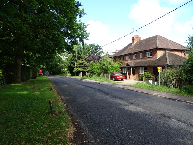
Brockhill is a small village located in the county of Berkshire, England. Situated approximately 5 miles south of the town of Maidenhead, it falls within the civil parish of Cox Green. The village is nestled between the A404 and the B4447, making it easily accessible by road.
Brockhill is known for its picturesque countryside and tranquil atmosphere. The village is surrounded by rolling hills, lush green fields, and beautiful woodlands, offering residents and visitors ample opportunities for outdoor activities such as hiking, cycling, and nature walks. The nearby Braywick Nature Centre is a popular spot for wildlife enthusiasts.
Although small in size, Brockhill has a close-knit community that takes pride in its heritage and local traditions. The village is home to a historic church, St. Michael's, which dates back to the 12th century. The church's impressive architecture and stained glass windows attract visitors from far and wide.
Amenities in Brockhill are limited, with a small convenience store providing basic necessities for the locals. However, the nearby town of Maidenhead offers a wider range of amenities including supermarkets, shops, restaurants, and recreational facilities. The village is well-connected to Maidenhead and other nearby towns by regular bus services.
Overall, Brockhill offers a peaceful and idyllic setting for those seeking a rural lifestyle, while still being within easy reach of urban conveniences. Its natural beauty and sense of community make it a desirable place to live for many residents.
If you have any feedback on the listing, please let us know in the comments section below.
Brockhill Images
Images are sourced within 2km of 51.438932/-0.71743283 or Grid Reference SU8971. Thanks to Geograph Open Source API. All images are credited.


Brockhill is located at Grid Ref: SU8971 (Lat: 51.438932, Lng: -0.71743283)
Unitary Authority: Bracknell Forest
Police Authority: Thames Valley
What 3 Words
///tile.visa.couches. Near Warfield, Berkshire
Nearby Locations
Related Wikis

Brock Hill
Brock Hill is a hamlet in Berkshire, England, within the civil parish of Warfield. The settlement lies near to the A330 road and is approximately 2.5 miles...
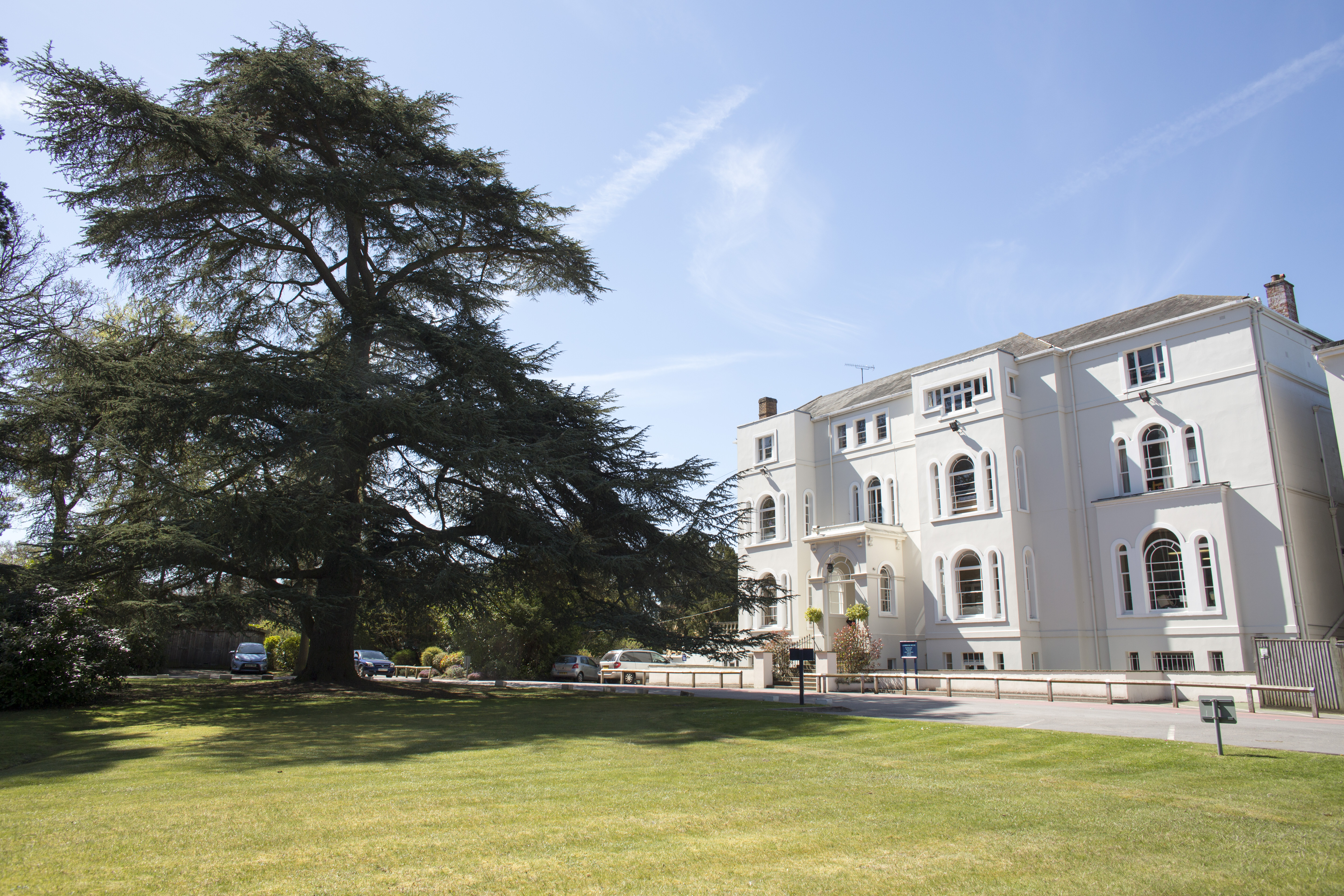
Lambrook
Lambrook is an independent preparatory school for 615 boys and girls, aged 3–13, set in 52 acres (21 ha) of Berkshire countryside. == History == The school...
Maiden's Green
Maiden's Green or Maidens Green is a small village in Berkshire, England, in the civil parish of Winkfield. == Geography == The settlement lies near to...

Winkfield
Winkfield is a village and civil parish in the Bracknell Forest unitary authority of Berkshire, England. == Geography == According to the 2011 census,...

Hayley Green Wood
Hayley Green Wood is a 2-hectare (4.9-acre) Local Nature Reserve on the northern outskirts of Bracknell in Berkshire. It is owned and managed by Bracknell...

Warfield Church
Warfield Parish Church is a Grade II* listed building.

Warfield
Warfield is a village and civil parish in the English county of Berkshire and the borough of Bracknell Forest. == History == Warfield was originally an...
Whitegrove
Whitegrove or Warfield Green is a suburb of Bracknell in the English county of Berkshire. It stands within the bounds of the civil parish of Warfield....
Nearby Amenities
Located within 500m of 51.438932,-0.71743283Have you been to Brockhill?
Leave your review of Brockhill below (or comments, questions and feedback).