Britannia Square
Settlement in Worcestershire Worcester
England
Britannia Square
Britannia Square is a historic residential area located in the city of Worcester, Worcestershire, England. Situated just north of the city center, this square is renowned for its stunning Georgian architecture and picturesque surroundings. It was built in the early 19th century, representing a prime example of early Victorian urban planning.
The square consists of over 40 townhouses, each with its own unique design and character. These properties were originally built for affluent families and professionals of the time. Many of the houses feature grand facades, intricate detailing, and beautiful bay windows, showcasing the architectural style of the era.
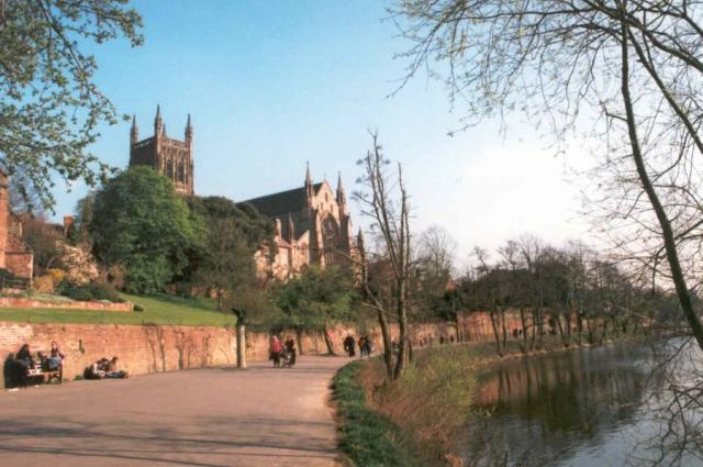
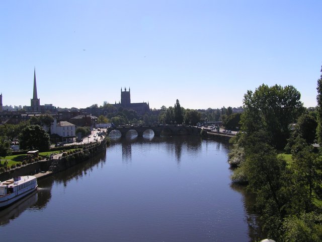
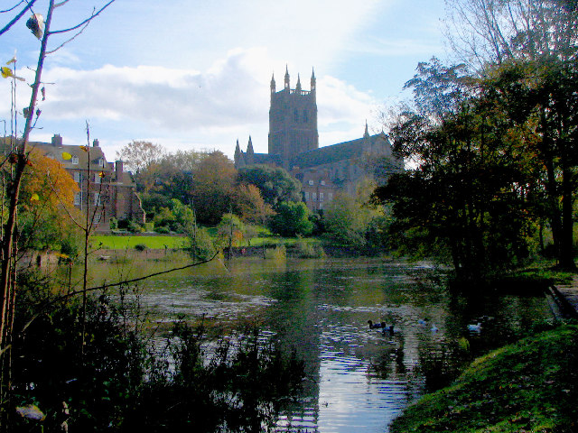
Britannia Square is considered a highly desirable residential area due to its close proximity to the city center and its peaceful atmosphere. The square is lined with well-maintained gardens and tree-lined streets, providing a tranquil environment for residents. The area also offers stunning views of the Worcester Cathedral, which is just a short distance away.
Over the years, Britannia Square has retained its charm and elegance, attracting residents and visitors alike. The square has been designated as a conservation area to preserve its architectural heritage and protect its unique character.
In addition to its architectural significance, Britannia Square is conveniently located near a range of amenities, including schools, shops, and recreational facilities. Its central location also provides easy access to public transportation, making it a popular choice for those commuting to the city center or other parts of Worcestershire.
Overall, Britannia Square is a delightful neighborhood that offers a harmonious blend of history, beauty, and convenience, making it a cherished part of Worcester's cultural landscape.
If you have any feedback on the listing, please let us know in the comments section below.
Britannia Square Images
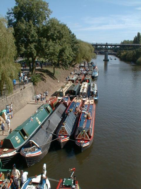
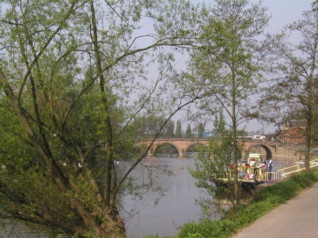
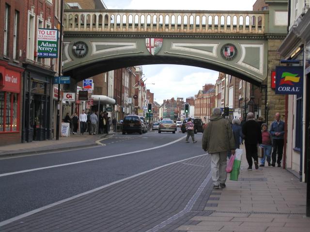
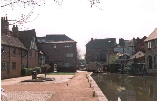
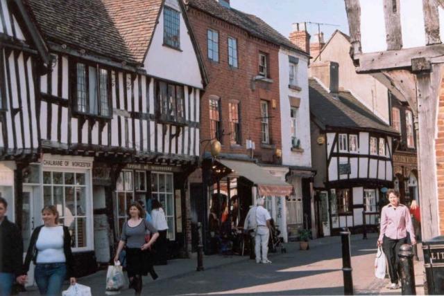
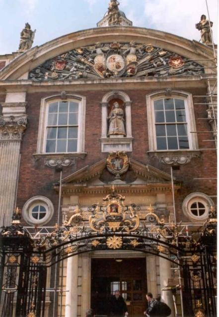
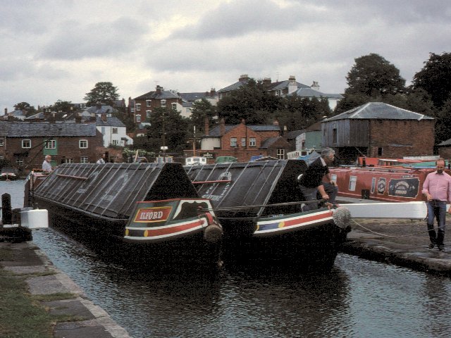
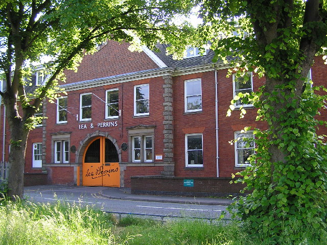
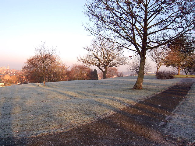
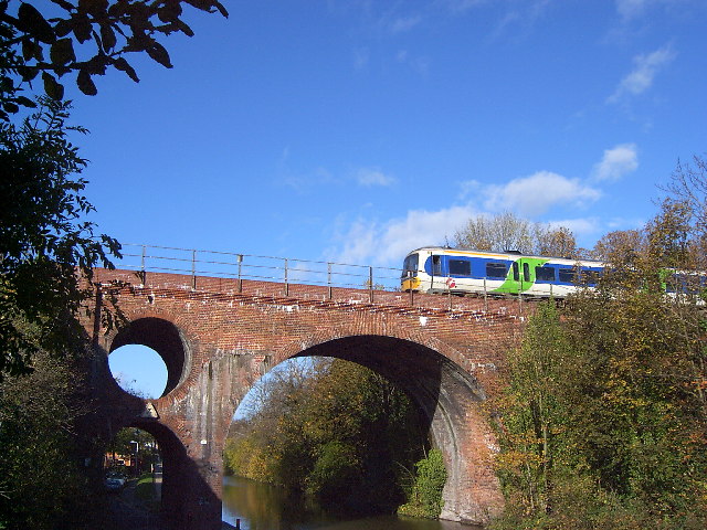
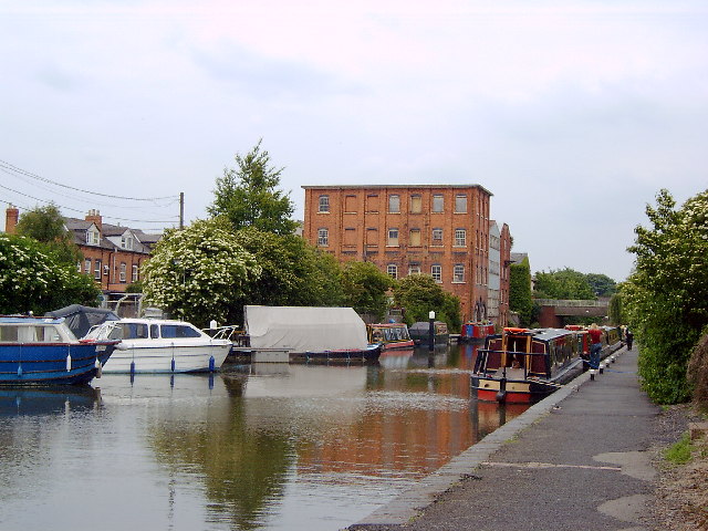
Images are sourced within 2km of 52.199724/-2.2283203 or Grid Reference SO8455. Thanks to Geograph Open Source API. All images are credited.


Britannia Square is located at Grid Ref: SO8455 (Lat: 52.199724, Lng: -2.2283203)
Administrative County: Worcestershire
District: Worcester
Police Authority: West Merica
What 3 Words
///look.trees.rope. Near Worcester, Worcestershire
Nearby Locations
Related Wikis

The Alice Ottley School
The Alice Ottley School was an independent all-girls' school in Worcester that existed under this name – referencing its first headmistress – between 1883...
Royal Grammar School Worcester
The Royal Grammar School Worcester (also known as RGS Worcester or RGSW) is an eleven-eighteen mixed, private day school and sixth form in Worcester, Worcestershire...
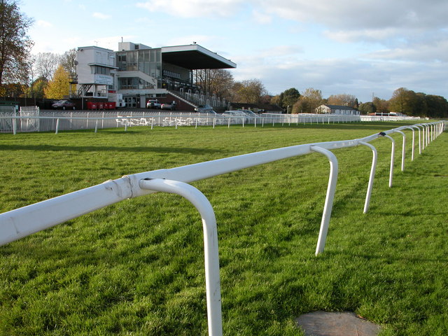
Worcester Racecourse
Worcester Racecourse is a thoroughbred horse racing venue located in the city of Worcester, Worcestershire, England. Horse racing has taken place here...
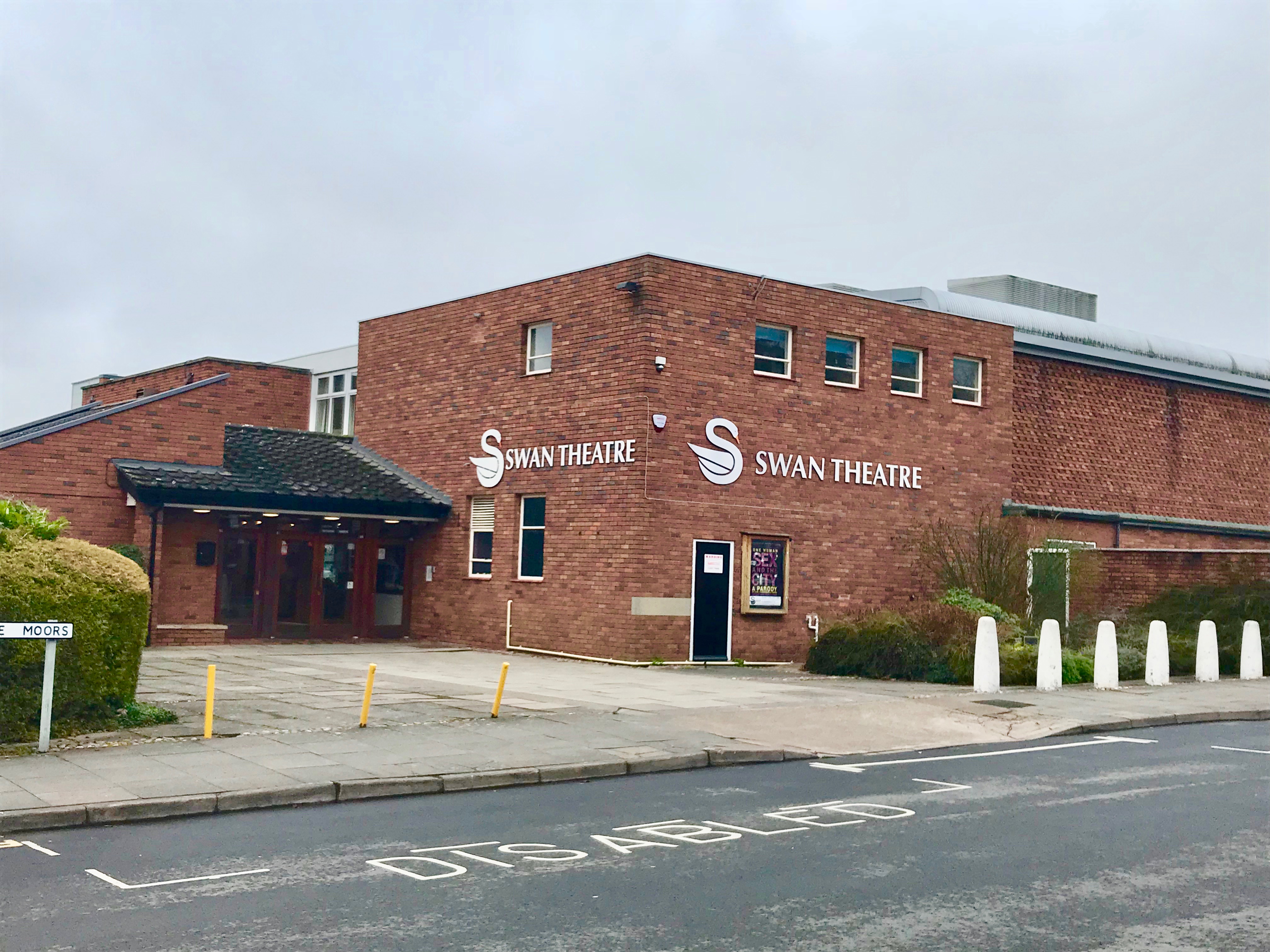
Swan Theatre, Worcester
The Swan Theatre is a theatre currently run by the Worcester Theatres Charitable Trust in Worcester, England. It is the official residence of the Worcester...
Nearby Amenities
Located within 500m of 52.199724,-2.2283203Have you been to Britannia Square?
Leave your review of Britannia Square below (or comments, questions and feedback).