Brinscombe
Settlement in Somerset Sedgemoor
England
Brinscombe

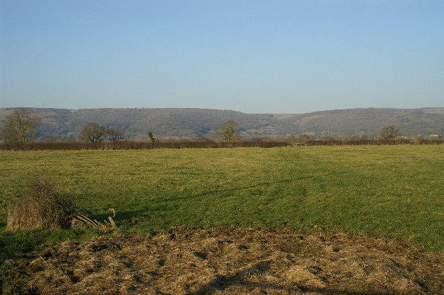
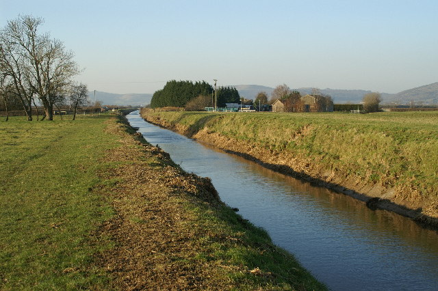
Brinscombe is a small village located in the county of Somerset, in the southwest of England. Situated in the Mendip Hills, it is surrounded by picturesque countryside and offers stunning views of the rural landscape. The village is part of the civil parish of Cheddar, and is conveniently located just a few miles away from the popular tourist destination of Cheddar Gorge.
Despite its relatively small size, Brinscombe has a rich history dating back several centuries. It is believed to have been inhabited since the Roman period, with evidence of Roman settlements found in the area. Over the years, the village has evolved, and today it retains a charming, traditional character.
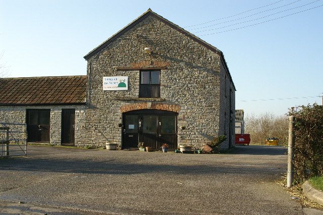
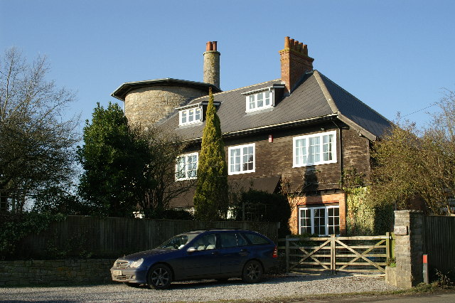
The village itself consists of a cluster of quaint houses, many of which are built from local stone, adding to the area's rustic charm. The community is tight-knit and friendly, with a strong sense of community spirit. Brinscombe boasts a village hall, a primary school, and a local pub, which serves as a popular gathering spot for residents and visitors alike.
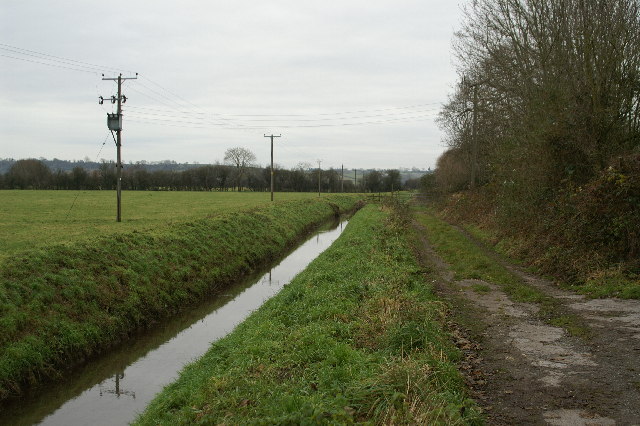
Brinscombe's location in the heart of Somerset offers residents and visitors a range of recreational activities. The surrounding countryside provides ample opportunities for walking, hiking, and cycling, with numerous scenic trails to explore. Additionally, the nearby Cheddar Gorge offers rock climbing, cave exploration, and a range of outdoor adventure activities.
Overall, Brinscombe is a peaceful and picturesque village, ideal for those seeking a tranquil rural setting with easy access to both natural beauty and nearby amenities.
If you have any feedback on the listing, please let us know in the comments section below.
Brinscombe Images
Images are sourced within 2km of 51.26391/-2.827958 or Grid Reference ST4251. Thanks to Geograph Open Source API. All images are credited.


Brinscombe is located at Grid Ref: ST4251 (Lat: 51.26391, Lng: -2.827958)
Administrative County: Somerset
District: Sedgemoor
Police Authority: Avon and Somerset
What 3 Words
///regulates.streetcar.shared. Near Axbridge, Somerset
Nearby Locations
Related Wikis

Weare, Somerset
Weare is a village and civil parish in Somerset, England, on the River Axe, south of the Mendip Hills. Other settlements in the parish are the village...
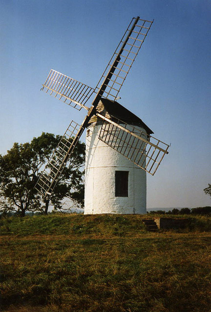
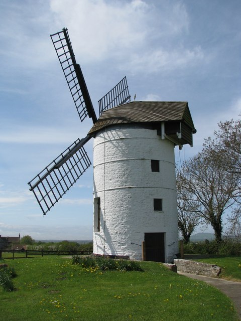
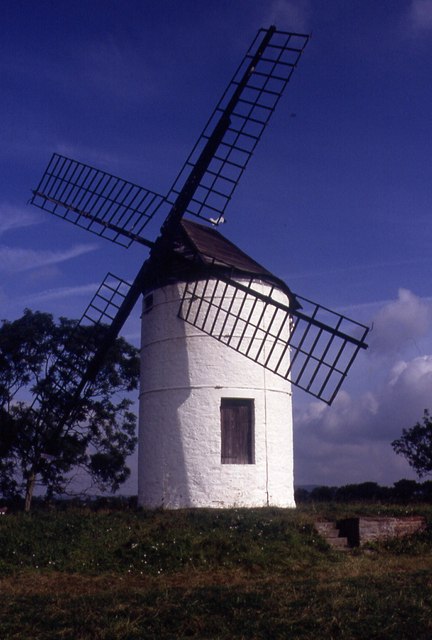
Ashton Windmill
Ashton windmill is a tower mill in Chapel Allerton, Somerset, England. Its tower is over 7.5 metres (25 ft) high with stone walls that are 60 cm (2.0 ft...
Chapel Allerton, Somerset
Chapel Allerton is a village and civil parish, south of Cheddar in the English county of Somerset. The parish includes the hamlets of Ashton and Stone...

Cheddar Reservoir
Cheddar Reservoir is an artificial reservoir in Somerset, England, operated by Bristol Water. Dating from the 1930s it has a capacity of 1350 million gallons...

King John's Hunting Lodge, Axbridge
King John's Hunting Lodge is a wool-merchant's house built c. 1460, long after the death of King John in 1216, in Axbridge, a town in the English county...

Axbridge Town Hall
Axbridge Town Hall is a municipal building in The Square in Axbridge, Somerset, England. The building, which is the meeting place of Axbridge Town Council...

Axbridge
Axbridge is a town in Somerset, England, on the River Axe, near the southern edge of the Mendip Hills. Its population according to the 2011 census was...

Axbridge railway station
Axbridge railway station was a station on the Bristol and Exeter Railway's Cheddar Valley line in Axbridge, Somerset. Axbridge was one of the principal...
Nearby Amenities
Located within 500m of 51.26391,-2.827958Have you been to Brinscombe?
Leave your review of Brinscombe below (or comments, questions and feedback).