Briscoe

Settlement in Yorkshire

England

Briscoe

Hury Reservoir Valve Tower
Hury Reservoir Valve Tower Credit: Sandy Gerrard

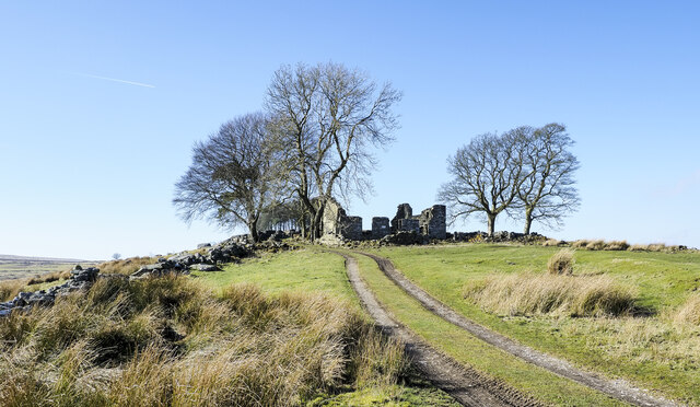
Briscoe is a small village located in the county of Yorkshire, England. Situated in the picturesque Yorkshire Dales, it is nestled between rolling hills and green pastures, offering breathtaking views and a tranquil atmosphere. With a population of around 300 residents, Briscoe is known for its close-knit community and friendly locals.

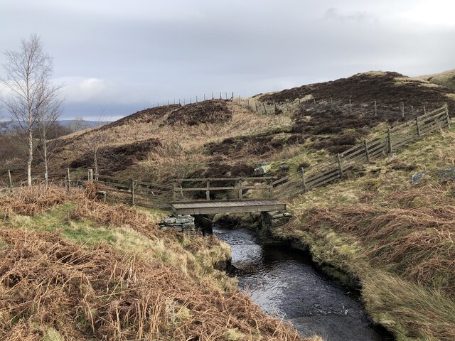
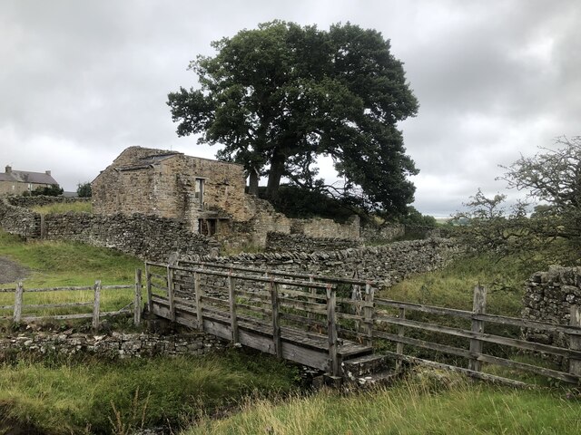
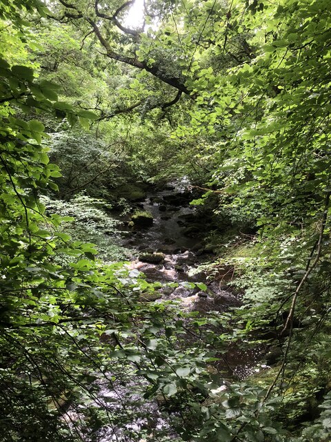
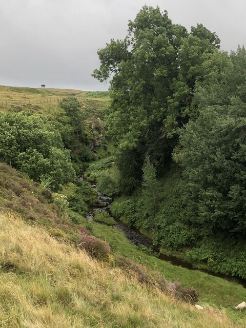
The village itself is characterized by its charming stone cottages and traditional architecture, which adds to its rustic charm. The nearby River Swale meanders through the village, providing a scenic backdrop and a popular spot for fishing and leisurely walks along its banks.

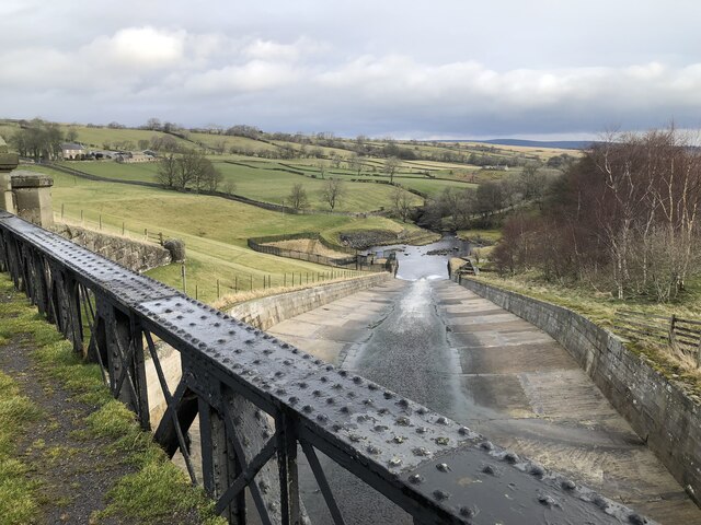
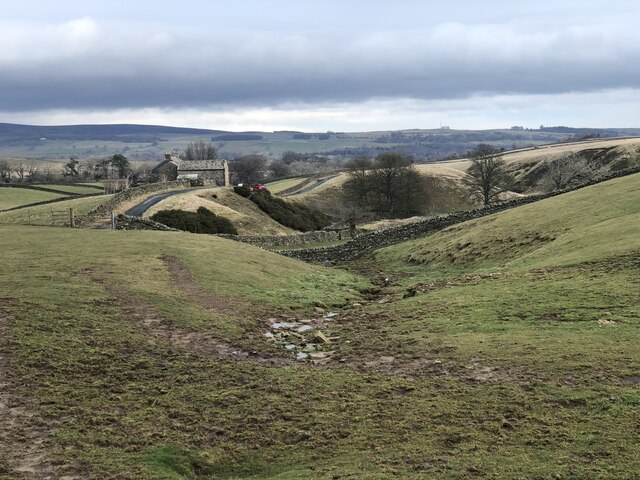
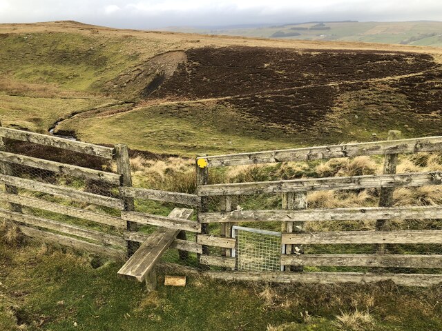
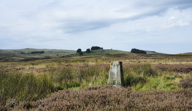
Briscoe is surrounded by stunning natural beauty, making it a haven for outdoor enthusiasts. The Yorkshire Dales National Park is just a short distance away, offering a plethora of opportunities for hiking, cycling, and exploring the unspoiled countryside. Visitors can discover picturesque trails that lead to breathtaking waterfalls, limestone caves, and rugged moorlands.

Despite its small size, Briscoe is not lacking in amenities. The village boasts a cozy pub where locals and visitors can enjoy hearty meals and ales, as well as a village hall that hosts various community events throughout the year. The nearby market towns of Richmond and Leyburn offer a wider range of shops, restaurants, and services, ensuring that residents have access to all their essential needs.

Briscoe, Yorkshire, is a hidden gem that offers a peaceful and idyllic retreat for nature lovers and those seeking a slower pace of life in the heart of the stunning Yorkshire Dales.

If you have any feedback on the listing, please let us know in the comments section below.
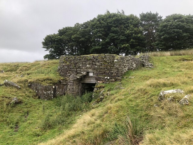
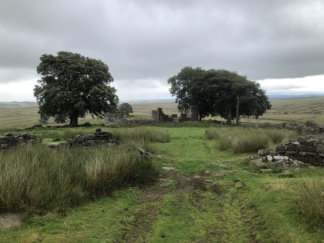
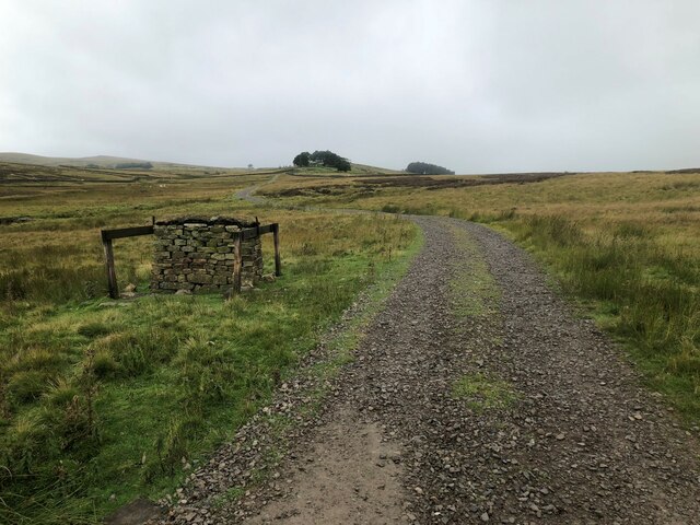
Briscoe Images

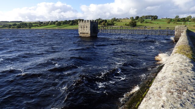
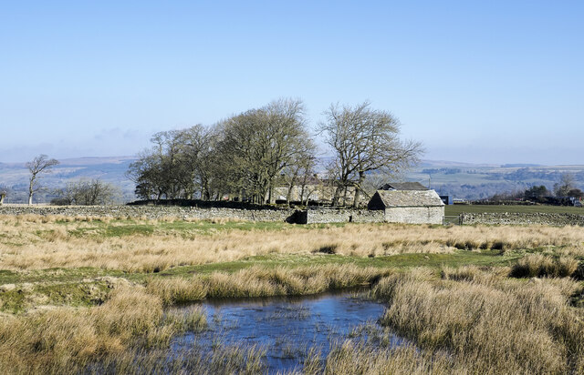
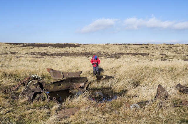
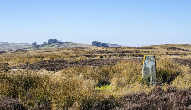
Images are sourced within 2km of 54.57049/-2.0362848 or Grid Reference NY9719. Thanks to Geograph Open Source API. All images are credited.

Hury Reservoir Valve Tower
Moorland with partly frozen pool The pool is beside a moorland track, south of farms at Booze Wood and High Corn Park, which is the set of buildings beyond the trees.
Moorland with partly frozen pool
The pool is beside a moorland track, south of farms at Booze Wood and High Corn Park, which is the set of buildings beyond the trees.
Remains of World War II tank The remains of the tank lie on moorland north of the MOD Battle Hill Range and south-west of the trig point of Currack Rigg. An item in the Northern Echo of 03 January 2021, tells that this is the wreckage of a Valentine Mk III, Second World War tank built by Vickers-Armstrong. However, although an item on Andy Beck's website, (<span class="nowrap"><a title="https://andybeckimages.co.uk/cotherstone-moor/" rel="nofollow ugc noopener" href="https://andybeckimages.co.uk/cotherstone-moor/">Link</a><img style="margin-left:2px;" alt="External link" title="External link - shift click to open in new window" src="https://s1.geograph.org.uk/img/external.png" width="10" height="10"/></span> ), gives that same information, further into the article doubt is cast upon the identification. There are references from the web page to a Wikipedia entry and a comment at the end by one, Dave Middlemas, giving a different origin altogether. Worth reading.
Remains of World War II tank
The remains of the tank lie on moorland north of the MOD Battle Hill Range and south-west of the trig point of Currack Rigg. An item in the Northern Echo of 03 January 2021, tells that this is the wreckage of a Valentine Mk III, Second World War tank built by Vickers-Armstrong. However, although an item on Andy Beck's website, (LinkExternal link ), gives that same information, further into the article doubt is cast upon the identification. There are references from the web page to a Wikipedia entry and a comment at the end by one, Dave Middlemas, giving a different origin altogether. Worth reading.
Moorland beyond trig point of Currack Rigg Heather and grass moorland with rushes around the pillar and beyond to the west.
Loups's Hill is in the distance left of centre, with Goldsborough further away, partly concealed by a block of trees.
Moorland beyond trig point of Currack Rigg
Heather and grass moorland with rushes around the pillar and beyond to the west. Loups's Hill is in the distance left of centre, with Goldsborough further away, partly concealed by a block of trees.
Ruins at East Loups's The name Loups's, occurs several times within the MOD's Battle Hill range which, it's understood was created at the time of WWII for troop training. Both East and West Loups's are in ruins.
Ruins at East Loups's
The name Loups's, occurs several times within the MOD's Battle Hill range which, it's understood was created at the time of WWII for troop training. Both East and West Loups's are in ruins.
Hury Reservoir Spillway The Spillway takes overflow from Hury Reservoir, but also from the two reservoirs up the valley via a by-wash.
Hury Reservoir Spillway
The Spillway takes overflow from Hury Reservoir, but also from the two reservoirs up the valley via a by-wash.
View To How Beck Gully
Footbridge Over How Beck
Footpath Across How Beck Gully
Direction Sign - Signpost on Briscoe Lane Located on the south side of the junction of Briscoe Lane and Gill-Lands Lane, east of Hury reservoir, in Cotherstone parish. 2 arms, 1 missing, and annulus finial. 

Milestone Society National ID: YN_NY9619
Direction Sign - Signpost on Briscoe Lane
Located on the south side of the junction of Briscoe Lane and Gill-Lands Lane, east of Hury reservoir, in Cotherstone parish. 2 arms, 1 missing, and annulus finial. Milestone Society National ID: YN_NY9619
Ruins of old chapel, Brisoe The Chapel was in use in the 1700s and is one of the earliest in the North Pennines. It was replaced by a larger building a few hundred yards away in 1905.
Ruins of old chapel, Brisoe
The Chapel was in use in the 1700s and is one of the earliest in the North Pennines. It was replaced by a larger building a few hundred yards away in 1905.
River Balder in wooded valley
How beck in wooded ravine
Old kiln on Loups's Hill
Ruins of East Loups's farm
Grouse butt beside track near East Loups's
Trig point surrounded by the fading flowers of ling The heather, (ling), retains a little of its August purple but basically, it's over for another year.
On the horizon to the left in the image is the summit at West Cairn Hill. At the other side of the frame is Goldsborough, partly hidden by a coniferous plantation.
Trig point surrounded by the fading flowers of ling
The heather, (ling), retains a little of its August purple but basically, it's over for another year. On the horizon to the left in the image is the summit at West Cairn Hill. At the other side of the frame is Goldsborough, partly hidden by a coniferous plantation.
Hury Reservoir and dam
Show me another place!

Briscoe is located at Grid Ref: NY9719 (Lat: 54.57049, Lng: -2.0362848)

Division: North Riding

Unitary Authority: County Durham

Police Authority: Durham

What 3 Words

///barbarian.turned.lunching. Near Romaldkirk, Co. Durham

Nearby Locations

Briscoe

Related Wikis

East Briscoe

East Briscoe is a village in Baldersdale, in the Pennines district of County Durham, England. It is traditionally located in the North Riding of Yorkshire...

Baldersdale Woodlands

Baldersdale Woodlands is a Site of Special Scientific Interest in the Teesdale district of south-west County Durham, England. It consists primarily of...
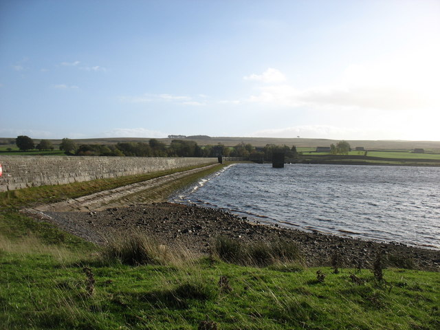
Hury Reservoir

Hury Reservoir is a reservoir in County Durham, England situated in Baldersdale. The reservoir is located about four miles south of Middleton-in-Teesdale...

Hunderthwaite

Hunderthwaite is a village and civil parish in Teesdale, in the Pennines of England. The population of the civil parish taken at the 2011 census was 114...

Nearby Amenities

Located within 500m of 54.57049,-2.0362848
Barrier: entrance
Lat/Long: 54.5691267/-2.0312473
Barrier: entrance
Lat/Long: 54.5711378/-2.0311749
Barrier: entrance
Lat/Long: 54.5680794/-2.0397153
Barrier: entrance
Lat/Long: 54.567999/-2.0398949
Abandoned: yes
Historic: mine_shaft
Man Made: mineshaft
Lat/Long: 54.5697258/-2.0429577
Abandoned: yes
Historic: mine_shaft
Man Made: mineshaft
Lat/Long: 54.5695795/-2.0393581
The data included in this document is from www.openstreetmap.org. The data is made available under ODbL.

Have you been to Briscoe?

Leave your review of Briscoe below (or comments, questions and feedback).