Bridgend
Settlement in Aberdeenshire
Scotland
Bridgend

Bridgend is a small village located in Aberdeenshire, Scotland. Situated approximately 7 miles west of the town of Ellon, it lies on the banks of the River Ythan. The village is surrounded by picturesque countryside, with rolling hills and fertile farmland dominating the landscape.
With a population of around 400 residents, Bridgend is a close-knit community that prides itself on its friendly and welcoming atmosphere. The village has a rich history, with evidence of human settlement dating back thousands of years. The surrounding area is home to several archaeological sites, including the remains of a Roman camp.
Despite its small size, Bridgend offers a range of amenities for its residents. There is a local primary school, ensuring that children from the village have access to education without having to travel far. The village also boasts a community hall, which serves as a hub for social gatherings and events.
For outdoor enthusiasts, Bridgend provides ample opportunities for recreational activities. The River Ythan is a popular spot for fishing, with a variety of fish species found in its waters. The surrounding countryside offers numerous walking and cycling trails, allowing residents to explore and enjoy the natural beauty of the area.
Overall, Bridgend is a charming village that offers a peaceful and idyllic lifestyle. Its stunning surroundings, friendly community, and range of amenities make it an attractive place to live for those seeking a rural retreat in Aberdeenshire.
If you have any feedback on the listing, please let us know in the comments section below.
Bridgend Images
Images are sourced within 2km of 57.323675/-2.1917768 or Grid Reference NJ8825. Thanks to Geograph Open Source API. All images are credited.


Bridgend is located at Grid Ref: NJ8825 (Lat: 57.323675, Lng: -2.1917768)
Unitary Authority: Aberdeenshire
Police Authority: North East
What 3 Words
///observes.happen.camcorder. Near Pitmedden, Aberdeenshire
Nearby Locations
Related Wikis
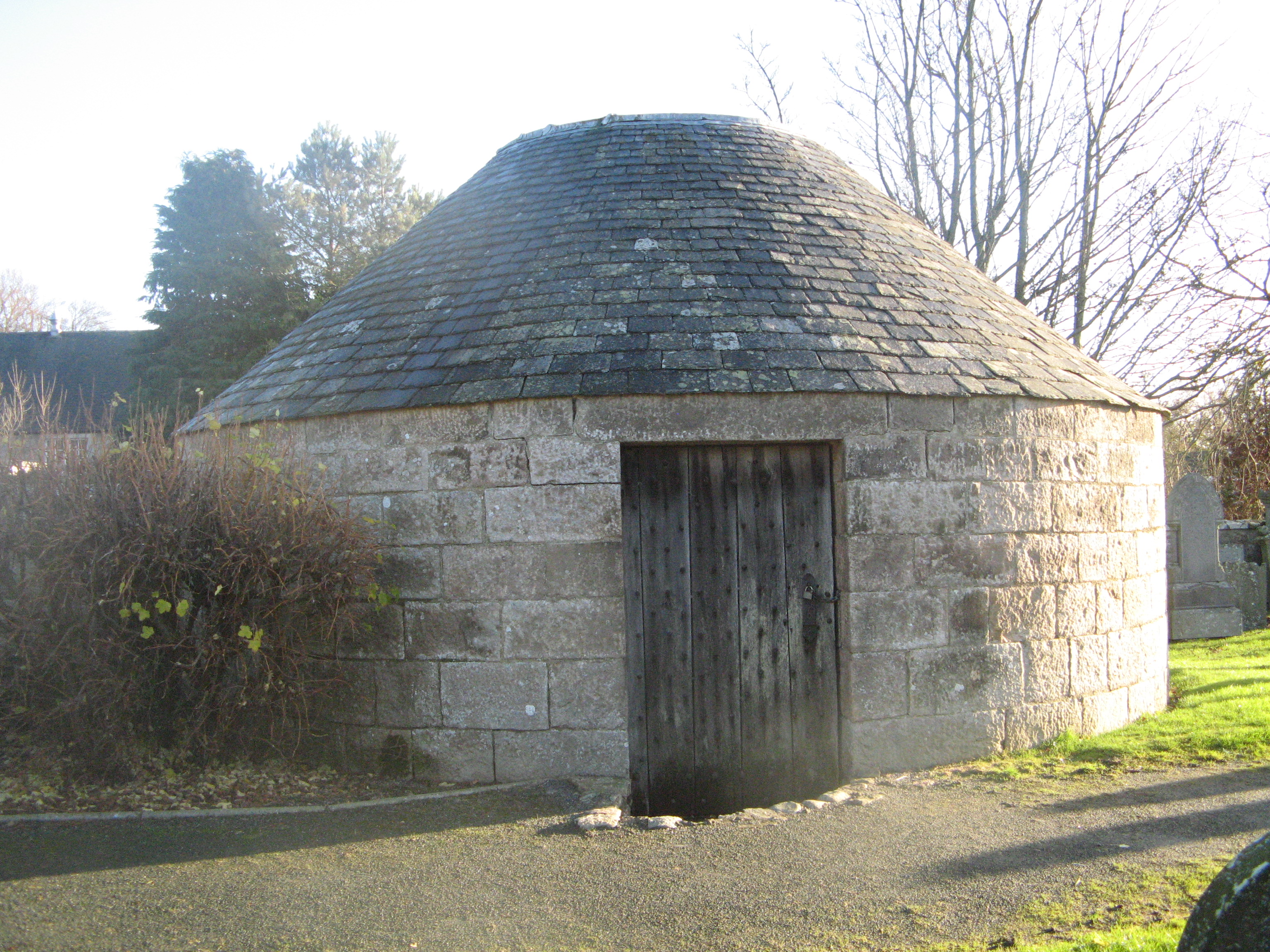
Udny Mort House
Udny Mort House is a morthouse in the old kirkyard at Udny Green, Aberdeenshire, north-east Scotland. Built in 1832, it is today a Category B listed building...
Udny Green
Udny Green (Scottish Gaelic: Olldanaidh; Doric: Widnie Green) is a village in Aberdeenshire, Scotland, immediately southwest of Pitmedden. It is part of...

Udny Parish Church
Udny Parish Church, now in private ownership, was a congregation of the Church of Scotland at Udny Green, Aberdeenshire in the north-east of Scotland,...
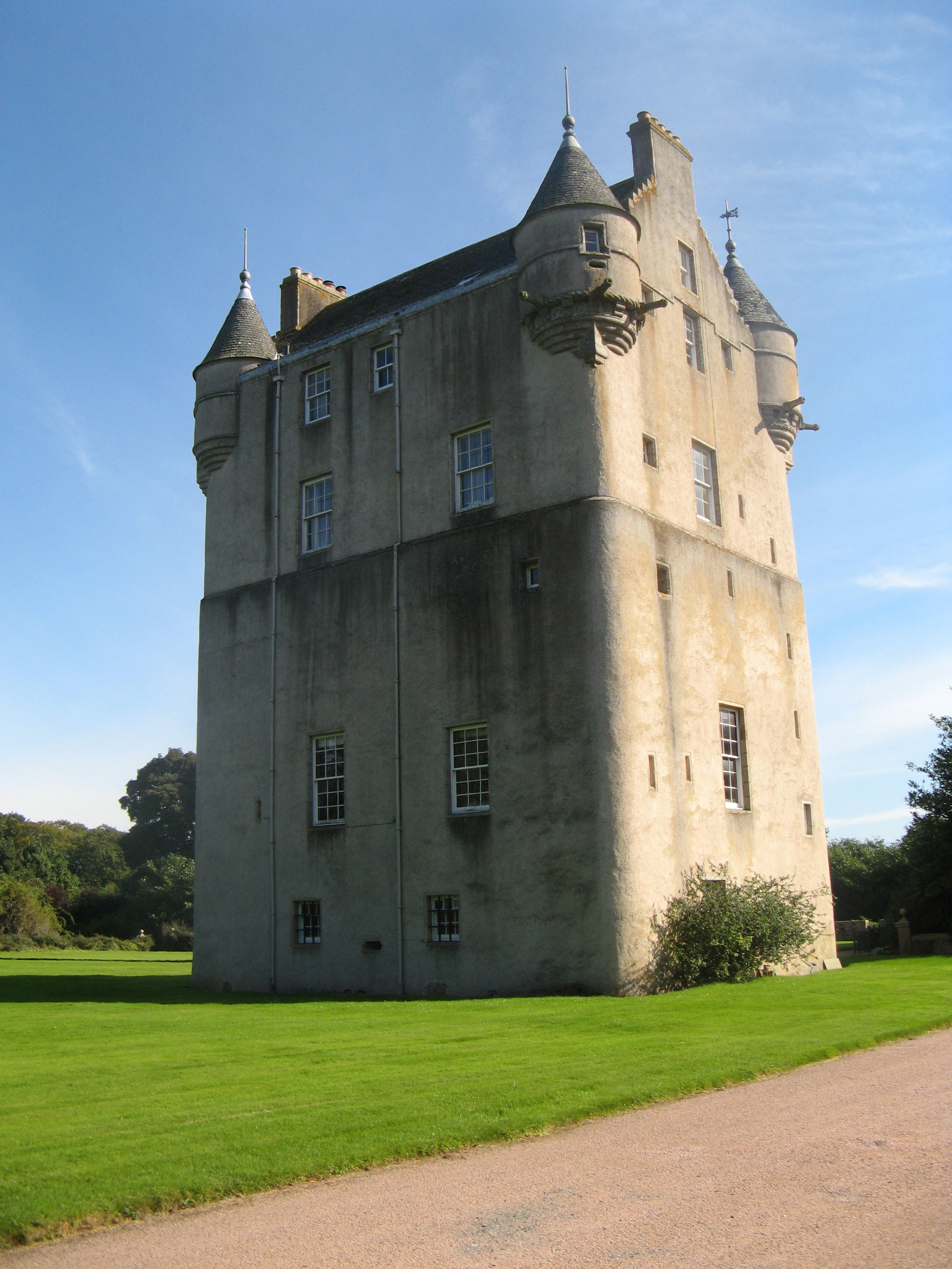
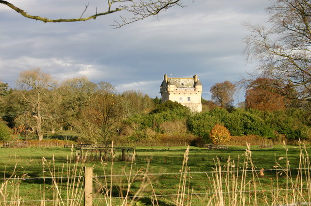
Udny Castle
Udny Castle is a tower house in the parish of Udny, southwest of the village of Pitmedden and northeast of the hamlet of Udny Green, Aberdeenshire, in...

Pitmedden
Pitmedden is a rural village in the parish of Udny, Aberdeenshire, Scotland, situated midway between Ellon and Oldmeldrum, and approximately 16 miles...

Pitmedden Garden
Pitmedden Garden is a garden in the town of Pitmedden, Aberdeenshire, Scotland. It is owned by the National Trust for Scotland. It is the largest surviving...
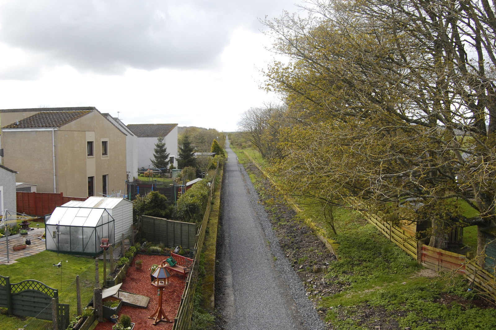
Udny railway station
Udny railway station was a railway station located in Udny, Aberdeenshire. == History == The station was opened on 18 July 1861 by the Formartine and Buchan...

Udny Station
Udny Station (Scots: Widnie Station) is a small village in Aberdeenshire, Scotland. It is 8 miles east of Oldmeldrum and 5 miles south west of Ellon....
Nearby Amenities
Located within 500m of 57.323675,-2.1917768Have you been to Bridgend?
Leave your review of Bridgend below (or comments, questions and feedback).