Bridgend
Settlement in Perthshire
Scotland
Bridgend

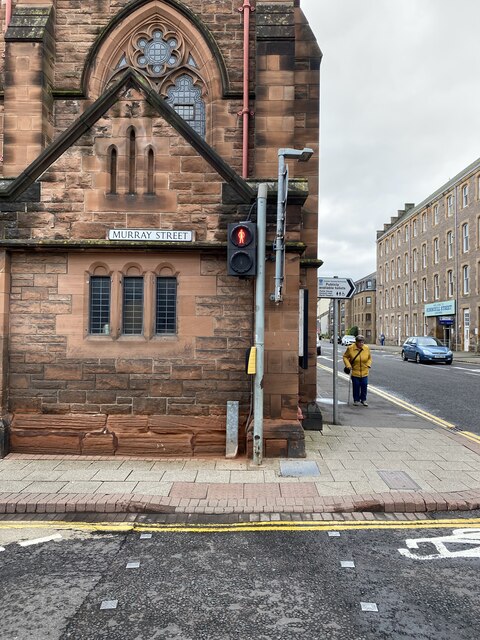
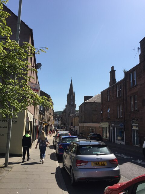
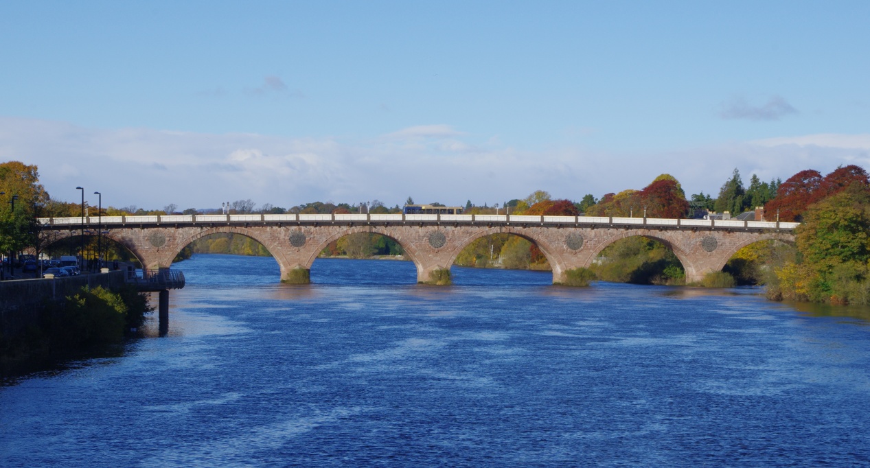
Bridgend is a small village located in the county of Perthshire, Scotland. Situated on the banks of the River Tay, it is approximately 3 miles northwest of the town of Perth and 40 miles north of Edinburgh. With a population of around 1,500 residents, Bridgend offers a peaceful and picturesque setting.
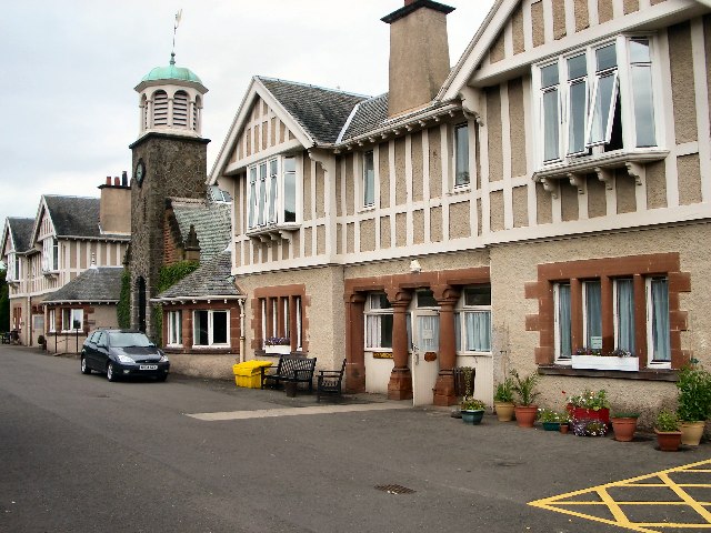
The village is known for its historic charm, with many traditional stone buildings and a sense of tranquility. It benefits from its proximity to the River Tay, providing residents and visitors with stunning views and opportunities for outdoor activities such as fishing and boating.
Bridgend offers a range of amenities to cater to the needs of its residents. These include a primary school, a post office, a convenience store, and a few local businesses. For more extensive shopping and entertainment options, the nearby town of Perth is easily accessible.
The surrounding area of Bridgend is filled with natural beauty, with rolling hills and scenic landscapes. It is an ideal location for those who enjoy outdoor pursuits, with numerous walking and cycling trails nearby. Additionally, the village is a gateway to the Perthshire countryside, which boasts several golf courses, historic castles, and picturesque villages.
Transportation in Bridgend is well-connected, with regular bus services to nearby towns and cities. The village is also conveniently located near major road networks, making it easily accessible by car.
Overall, Bridgend, Perthshire offers a peaceful and scenic environment, making it an attractive place to live for those seeking a quieter lifestyle amidst beautiful natural surroundings.
If you have any feedback on the listing, please let us know in the comments section below.
Bridgend Images
Images are sourced within 2km of 56.400523/-3.4200536 or Grid Reference NO1224. Thanks to Geograph Open Source API. All images are credited.


Bridgend is located at Grid Ref: NO1224 (Lat: 56.400523, Lng: -3.4200536)
Unitary Authority: Perth and Kinross
Police Authority: Tayside
What 3 Words
///straw.vote.rods. Near Perth, Perth & Kinross
Related Wikis
Murray Royal Hospital
The Murray Royal Hospital is a mental-health facility in Perth, Scotland. It is managed by NHS Tayside. The original main building is a Category A listed...

Bridgend, Perth and Kinross
Bridgend is a village near Perth, Scotland, approximately 0.25 miles (0.40 km) east of the city centre, on the eastern banks of the River Tay. It is in...

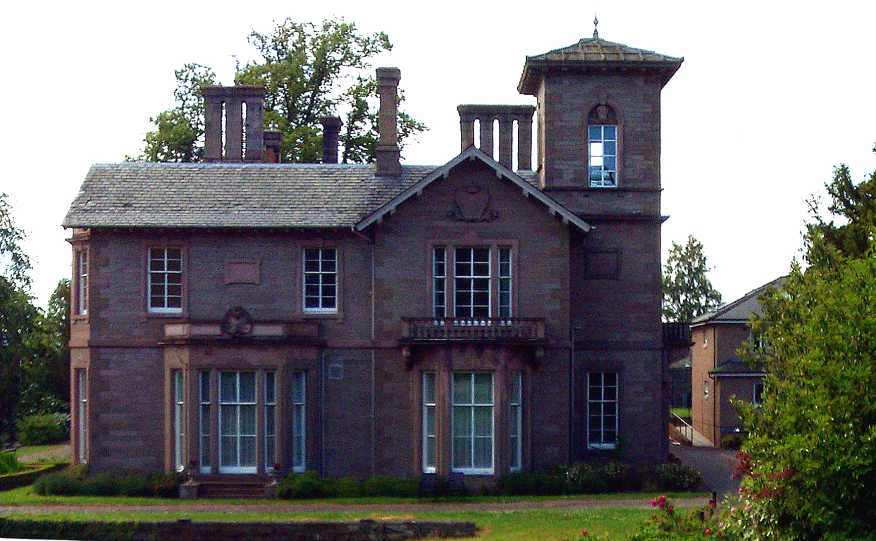
Newlands House
Newlands House is an historic building in Bridgend, Perth and Kinross, Scotland. Located on Main Street, it is a Category B listed building, built around...
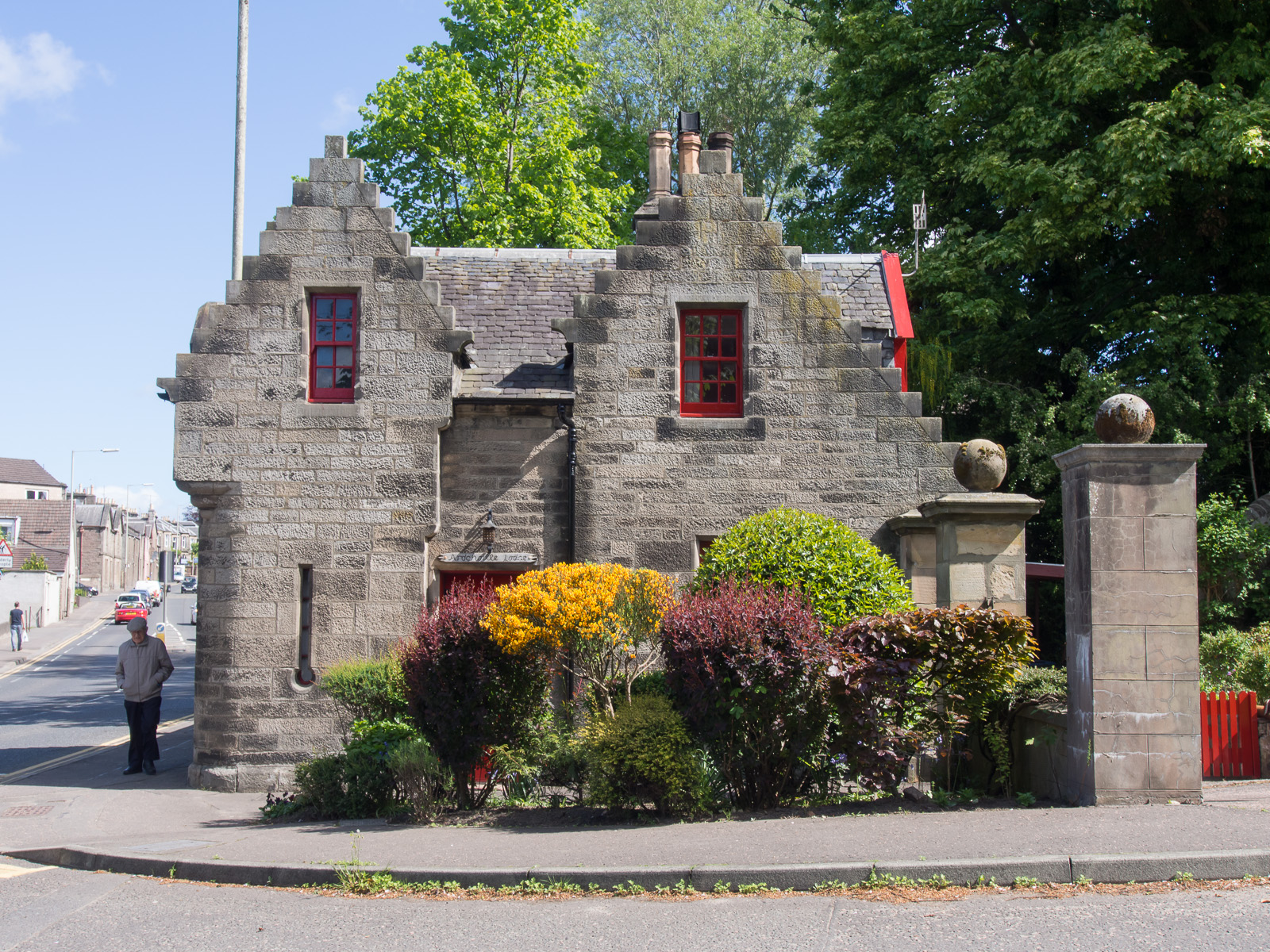
Ardchoille Lodge
Ardchoille Lodge is an historic building in Bridgend, Perth and Kinross, Scotland. Located on Strathmore Street, it is a Category C listed building, built...
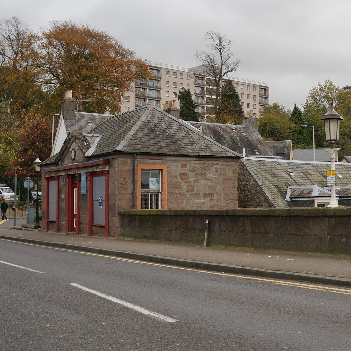
1 West Bridge Street
1 West Bridge Street is an historic building in the Bridgend area of Perth, Scotland. A former tollbooth building, it is a Category C listed building dating...
Kinnoull
Kinnoull is a parish in Perth, Perth and Kinross, Scotland, approximately half a mile northeast of Perth city centre. Beginning at the level of the River...
Bowerswell
Bowerswell (formerly known as Whistlecroft) is an early 19th-century house in Bowerswell Road, Kinnoull, Scotland. It is a Grade B listed building and...
Perth Bridge
Perth Bridge (also known as Smeaton's Bridge, locally, the Old Bridge, and in the local dialect of Scots, the Auld Brig) is a toll-free bridge in the city...
Nearby Amenities
Located within 500m of 56.400523,-3.4200536Have you been to Bridgend?
Leave your review of Bridgend below (or comments, questions and feedback).