Bridgend

Settlement in Inverness-shire

Scotland

Bridgend

Signage - A9 northbound
Signage - A9 northbound Credit: Dave Thompson

Bridgend is a small village located in Inverness-shire, Scotland. Situated on the banks of the River Ness, it is positioned approximately 2 miles west of Inverness city center. Bridgend is known for its picturesque setting, surrounded by stunning natural landscapes, including rolling hills and the beautiful River Ness.

The village has a population of around 1,000 residents and offers a peaceful and tranquil atmosphere. It is well-connected to the nearby city of Inverness, which provides access to a range of amenities and services. Bridgend is served by public transportation, including regular bus services, making it easily accessible for both residents and visitors.

The village boasts a range of local amenities, including a post office, a convenience store, and a few small shops. There are also a couple of traditional pubs and restaurants where locals and visitors can enjoy a meal or a drink.

Bridgend is an ideal location for outdoor enthusiasts, with plenty of walking and cycling routes in the surrounding area. The nearby Caledonian Canal offers opportunities for boating and fishing, with stunning views of the Scottish Highlands.

Overall, Bridgend offers a peaceful and scenic setting, with easy access to the amenities of Inverness. It is a charming village that appeals to those seeking a tranquil lifestyle amidst beautiful natural surroundings.

If you have any feedback on the listing, please let us know in the comments section below.
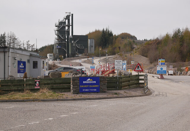
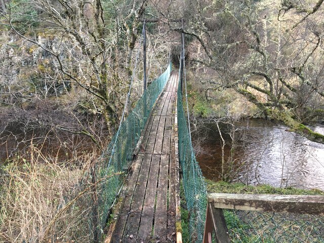
Bridgend Images

Images are sourced within 2km of 57.421296/-4.1274244 or Grid Reference NH7238. Thanks to Geograph Open Source API. All images are credited.

Signage - A9 northbound
Daviot Quarry Operated by Breedon Group. The tall metal structure is the asphalt plant.
Daviot Quarry
Operated by Breedon Group. The tall metal structure is the asphalt plant.
Daviot Quarry The main entrance to Daviot Quarry, operated by Breedon Group. With a variety of warning signs, including blasting times.
The quarry supplies a range of aggregates and asphalt. The tall structure in the centre is the asphalt plant.
Daviot Quarry
The main entrance to Daviot Quarry, operated by Breedon Group. With a variety of warning signs, including blasting times. The quarry supplies a range of aggregates and asphalt. The tall structure in the centre is the asphalt plant.
Daviot cemetery extension At the south-west end of the cemetery, landscaping work going on to extend it.
Daviot cemetery extension
At the south-west end of the cemetery, landscaping work going on to extend it.
Daviot Church A distinctive landmark, with a tall tower. It dates from 1826, and is a Category B listed building. <span class="nowrap"><a title="https://portal.historicenvironment.scot/designation/LB1700" rel="nofollow ugc noopener" href="https://portal.historicenvironment.scot/designation/LB1700">Link</a><img style="margin-left:2px;" alt="External link" title="External link - shift click to open in new window" src="https://s1.geograph.org.uk/img/external.png" width="10" height="10"/></span>
Daviot Church
A distinctive landmark, with a tall tower. It dates from 1826, and is a Category B listed building. LinkExternal link
A9, northbound The A9 is a strategic link between the Highlands of Scotland and the Central Belt. It runs 279 miles from junction 5 of the M9 at Polmont to Scrabster. Originally it ran from Edinburgh.
<span class="nowrap"><a title="https://www.sabre-roads.org.uk/wiki/index.php?title=A9" rel="nofollow ugc noopener" href="https://www.sabre-roads.org.uk/wiki/index.php?title=A9">Link</a><img style="margin-left:2px;" alt="External link" title="External link - shift click to open in new window" src="https://s1.geograph.org.uk/img/external.png" width="10" height="10"/></span>
A9, northbound
The A9 is a strategic link between the Highlands of Scotland and the Central Belt. It runs 279 miles from junction 5 of the M9 at Polmont to Scrabster. Originally it ran from Edinburgh. LinkExternal link
Daviot Church
Daviot Church
A9, northbound The A9 is a strategic link between the Highlands of Scotland and the Central Belt. It runs 279 miles from junction 5 of the M9 at Polmont to Scrabster. Originally it ran from Edinburgh.
<span class="nowrap"><a title="https://www.sabre-roads.org.uk/wiki/index.php?title=A9" rel="nofollow ugc noopener" href="https://www.sabre-roads.org.uk/wiki/index.php?title=A9">Link</a><img style="margin-left:2px;" alt="External link" title="External link - shift click to open in new window" src="https://s1.geograph.org.uk/img/external.png" width="10" height="10"/></span>
A9, northbound
The A9 is a strategic link between the Highlands of Scotland and the Central Belt. It runs 279 miles from junction 5 of the M9 at Polmont to Scrabster. Originally it ran from Edinburgh. LinkExternal link
Footbridge over the River Nairn near Daviot
Footpath down to the River Nairn near Daviot
Junction of the B851 with the A9
Forestry road near Daviot
Daviot Quarry
Daviot Quarry
Sheep beside the A9
Sheep beside the A9
Show me another place!

Bridgend is located at Grid Ref: NH7238 (Lat: 57.421296, Lng: -4.1274244)

Unitary Authority: Highland

Police Authority: Highlands and Islands

What 3 Words

///reclined.resort.widely. Near Milton of Leys, Highland

Nearby Locations

Bridgend

Related Wikis

Daviot, Highland

Daviot (Gaelic: Deimhidh) is a village in the Highland council area of Scotland. It is about 8 kilometres (5 mi) south east of the city of Inverness, next...

Daviot railway station

Daviot railway station served the village of Daviot, Highland, Scotland, from 1897 to 1965 on the Inverness and Aviemore Direct Railway. == History... ==

Daviot Castle

Daviot Castle was a 15th-century castle, about 6 miles (10 kilometres) southeast of Inverness, Highland, Scotland, and west of the River Nairn at Daviot...

Milton of Leys

Milton of Leys (Scottish Gaelic: Baile Muilinn an Leigheis, meaning "Mill-Farm of Medicine" ) is an area of the city of Inverness in the Highland council...

Drumossie Hotel

The Drumossie Hotel is an art deco resort and conference centre two kilometers south east of Inverness. == History == The building was designed by Carruthers...

Balnafoich

Balnafoich (Scottish Gaelic: Baile na Faich meaning Township of the Green Field) was once only a small croft, but is now a little settlement lying 7 miles...

Westhill, Highland

Westhill (Gaelic: Cnoc Shuas) is a commuter village on the eastern outskirts of the city of Inverness, in the Highland council area of Scotland. It is...

Moy Hall

Moy Hall near the village of Moy, south of Inverness, is the home of the chiefs of the Clan Mackintosh, a Highland Scottish clan. == History == The original...

Nearby Amenities

Located within 500m of 57.421296,-4.1274244
Parking
Source: survey
Lat/Long: 57.4247153/-4.1307031
Recycling
Source: survey
Lat/Long: 57.4246737/-4.1306869
Barrier: bollard
Bicycle: yes
Foot: yes
Lat/Long: 57.4203894/-4.1318597
Bus Stop
Primary School
Naptan AtcoCode: 6700712580
Naptan Bearing: NE
Naptan CommonName: Primary School
Naptan Indicator: o/s
Naptan Landmark: Primary School
Naptan NaptanCode: 45327936
Naptan Street: Village Road
Naptan Verified: no
Source: naptan_import
Lat/Long: 57.4254231/-4.129656
Bus Stop
War Memorial
Local Ref: AT
Naptan AtcoCode: 6700712581
Naptan Bearing: SW
Naptan CommonName: War Memorial
Naptan Indicator: at
Naptan Landmark: War Memorial
Naptan NaptanCode: 45325737
Naptan Street: B9154
Naptan Verified: no
Source: naptan_import
Lat/Long: 57.4214794/-4.1269279
Parking
Layby 177
Access: yes
Fee: no
Parking: layby
Source: survey
Lat/Long: 57.4234814/-4.1301666
Parking
Layby 176
Access: yes
Fee: no
Parking: layby
Source: survey
Lat/Long: 57.4223146/-4.1308815
Historic: memorial
Source: survey
Lat/Long: 57.4215903/-4.1266771
Power: pole
Lat/Long: 57.4243498/-4.1305369
Power: pole
Lat/Long: 57.4248648/-4.1309409
Power: pole
Lat/Long: 57.4223562/-4.135397
Power: pole
Lat/Long: 57.4226238/-4.1342133
Power: pole
Lat/Long: 57.4227899/-4.1334748
Power: pole
Lat/Long: 57.4230967/-4.1314782
Power: pole
Lat/Long: 57.4235352/-4.1309479
Power: pole
Lat/Long: 57.4242764/-4.1300803
Power: pole
Lat/Long: 57.4217332/-4.1259784
Power: pole
Lat/Long: 57.422256/-4.1258872
Power: pole
Lat/Long: 57.4227289/-4.1254086
Power: pole
Lat/Long: 57.4233163/-4.1245425
Power: pole
Lat/Long: 57.4236084/-4.1238223
Power: pole
Lat/Long: 57.4229171/-4.1200342
Power: pole
Lat/Long: 57.4229686/-4.1207027
Power: pole
Lat/Long: 57.4230324/-4.1214883
Power: pole
Lat/Long: 57.423237/-4.1222997
Power: pole
Lat/Long: 57.4233597/-4.1228255
Power: pole
Lat/Long: 57.423763/-4.1244392
Power: pole
Lat/Long: 57.4240723/-4.1256821
Power: pole
Lat/Long: 57.4244159/-4.1270527
Power: pole
Lat/Long: 57.4243717/-4.1280237
Material: wood
Power: pole
Lat/Long: 57.4243382/-4.1287105
Crossing
Crossing: unmarked
Lat/Long: 57.4252261/-4.1280103
Crossing
Crossing: unmarked
Lat/Long: 57.4250444/-4.1280057
Generator Method: wind_turbine
Generator Source: wind
Power: generator
Lat/Long: 57.4232168/-4.1207086
The data included in this document is from www.openstreetmap.org. The data is made available under ODbL.

Have you been to Bridgend?

Leave your review of Bridgend below (or comments, questions and feedback).